Spending a chunk of time in the town of Hood River, Oregon, had been in our list of travel destinations for a while. This year we'd initially planned to head to Santa Fe, New Mexico, but after some back-and-forth we opted to head north for cooler temps and save the south west for another time.
Below you'll find a bunch of images taken either with my Fujifilm GFX100S camera, with various cell phone images thrown into the mix.
The trip up was straight-forward and felt pretty quick for being nearly an 8-hour shot up Interstate 5. I was miserable due to some lingering nerve pain issues, but they calmed down as the trip progressed.

Logan at the first fill out, three minutes out the door and ready to go!

Williams, CA

Logan takes the helm

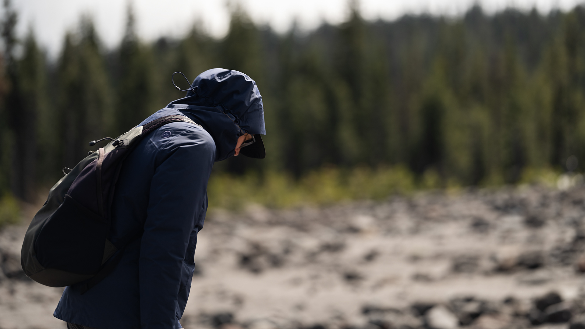
Not enjoying life

Train in motion

Black Butte near the town of Mt Shasta

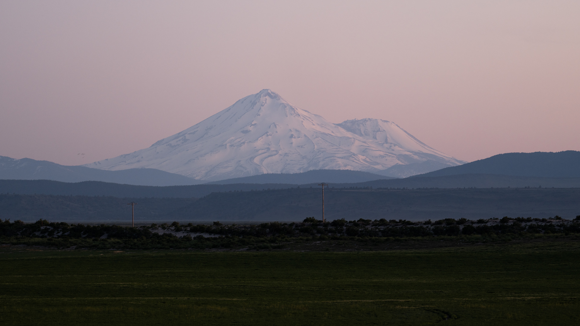
Mounta Shasta

Mount Shasta
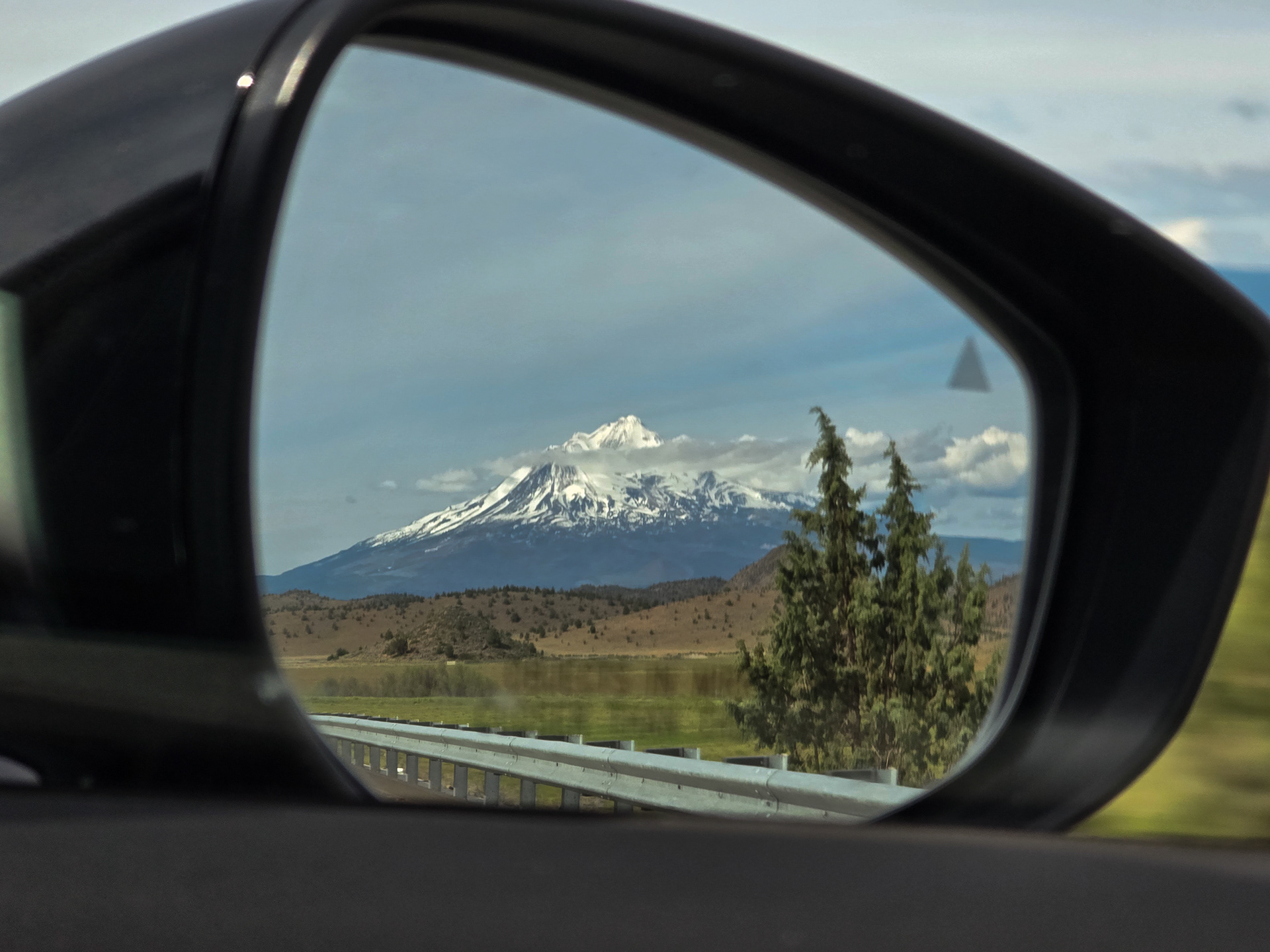
See ya soonish, Shasta

Sacramento River
Our hotel was fine, but we our spidey senses started tingling and it once we walked to downtown. Tt was clear that the Roseburg of today wasn't the town it used to be in its heyday, back when the timber industry was really pumping. Small groups of locals congregated in parking lots, with longer glances darting in our direction. We were clearly outsiders.

South Umpqua River River
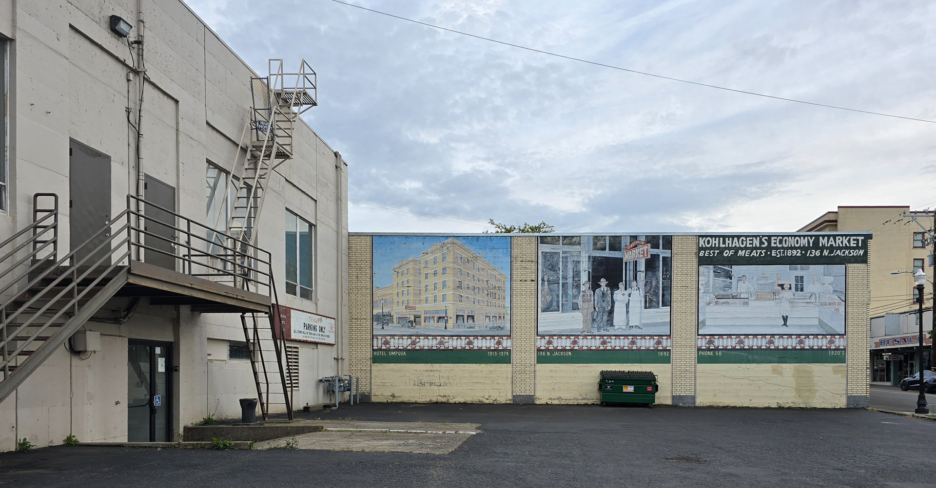
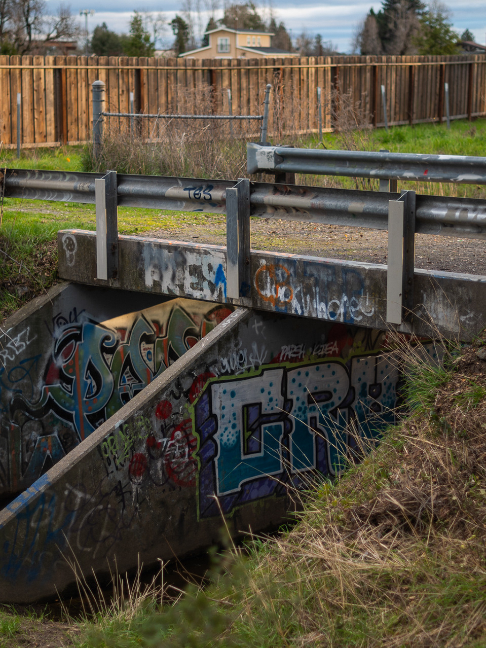
Behind the scenes in Roseburg
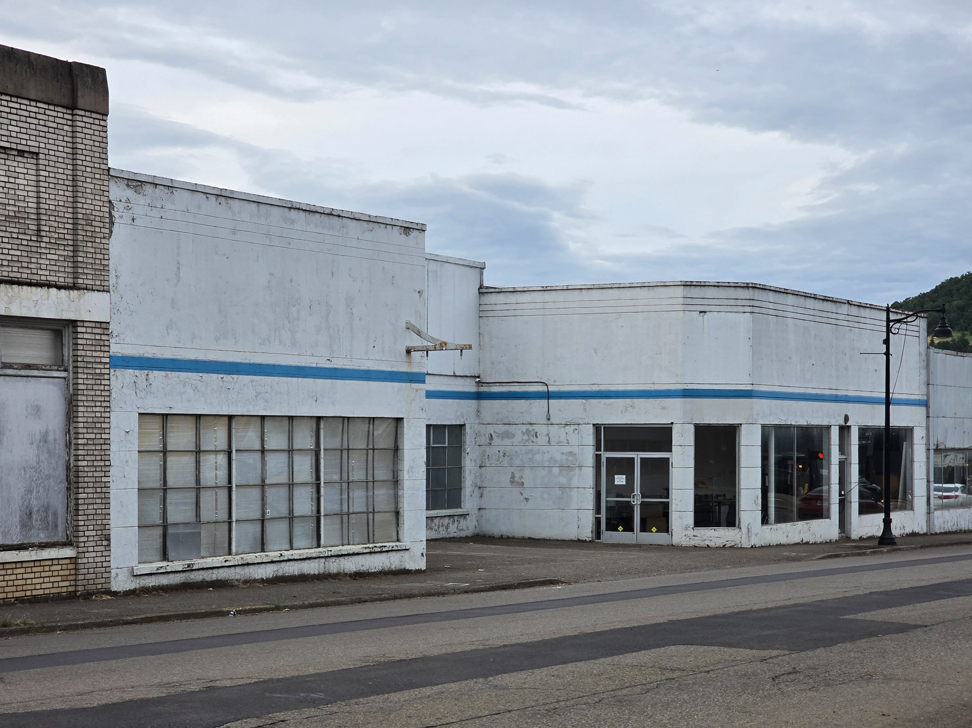
Behind the scenes in Roseburg

Small encampment adjacent to our hotel

South Umpqua River next to our digs

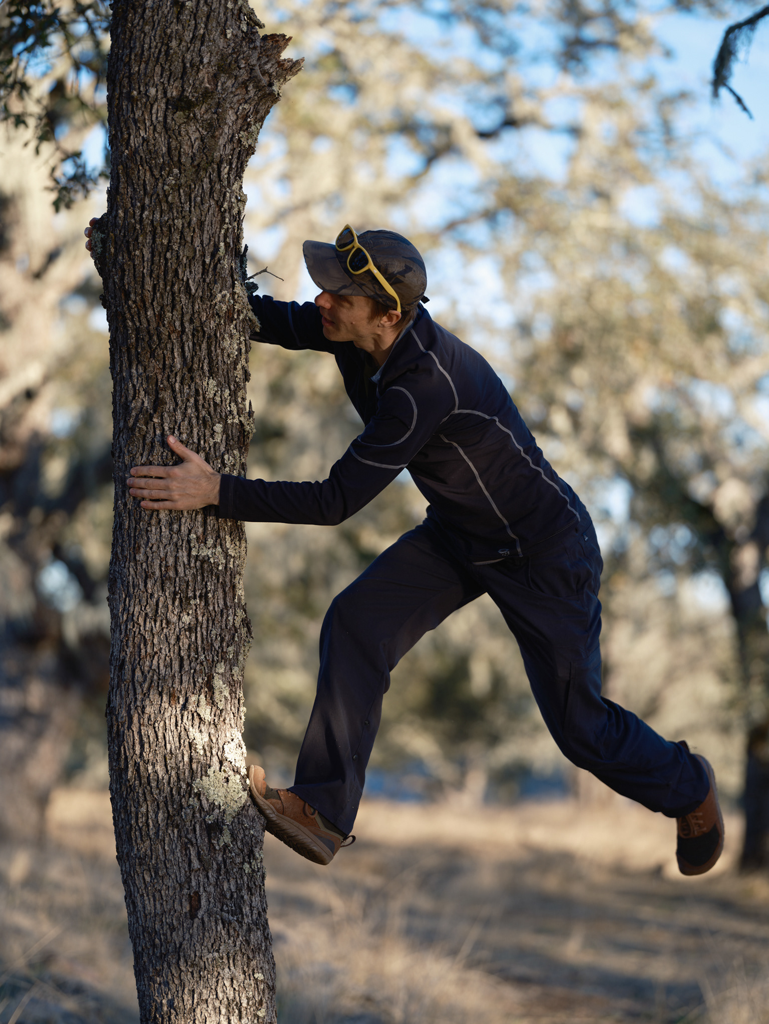
Logan doing plant research
We had reservations for the Portland Japanese Garden at 4:30 and we killed a few hours prior exploring the Willamette Riverfront parks and out little corner of the city.

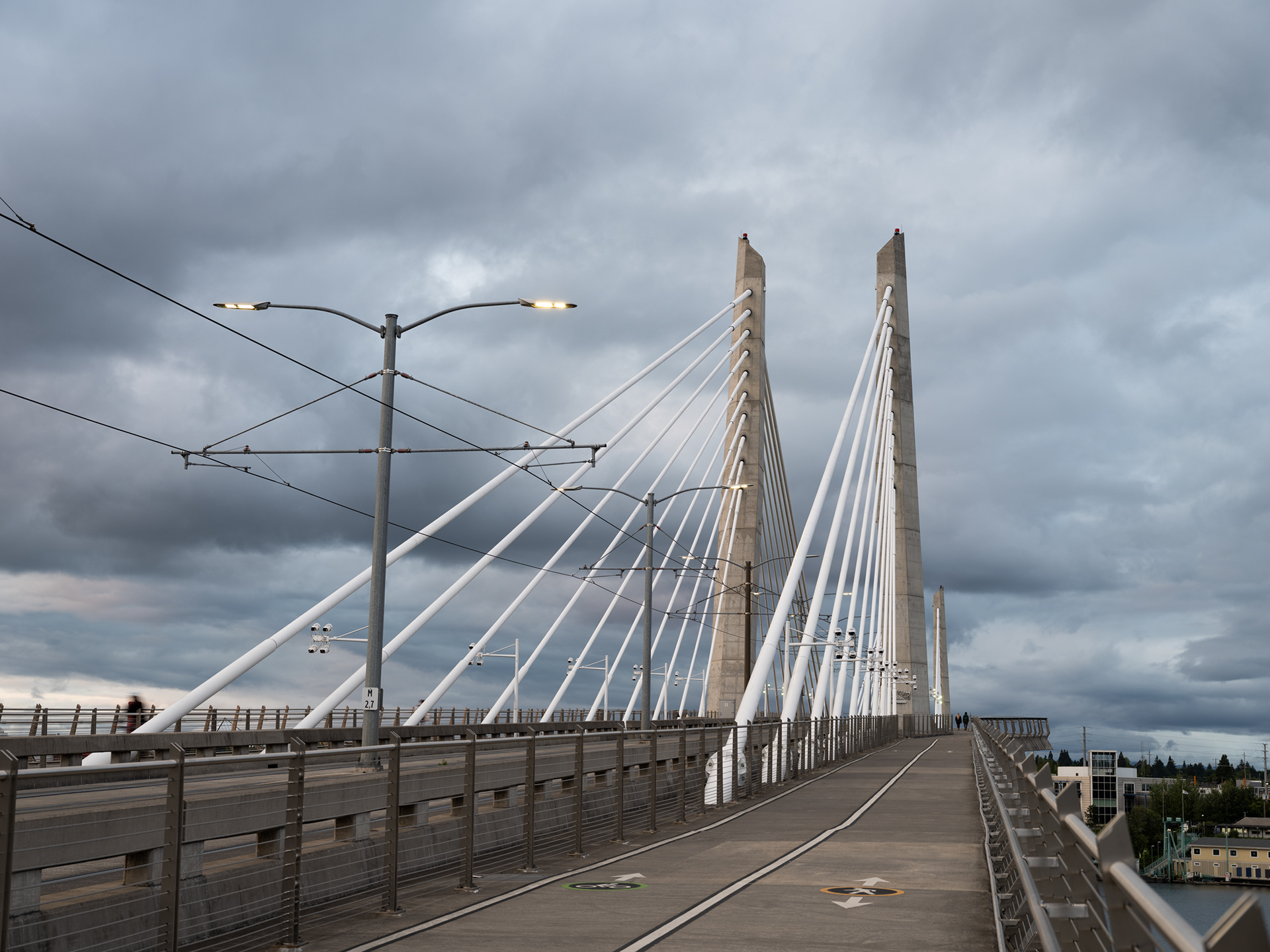
Hawthorne Bridge over the Willamette River, Portland

:)

Buttcrack Cyclist

Another shot of the bridge - I have a thing for bridges
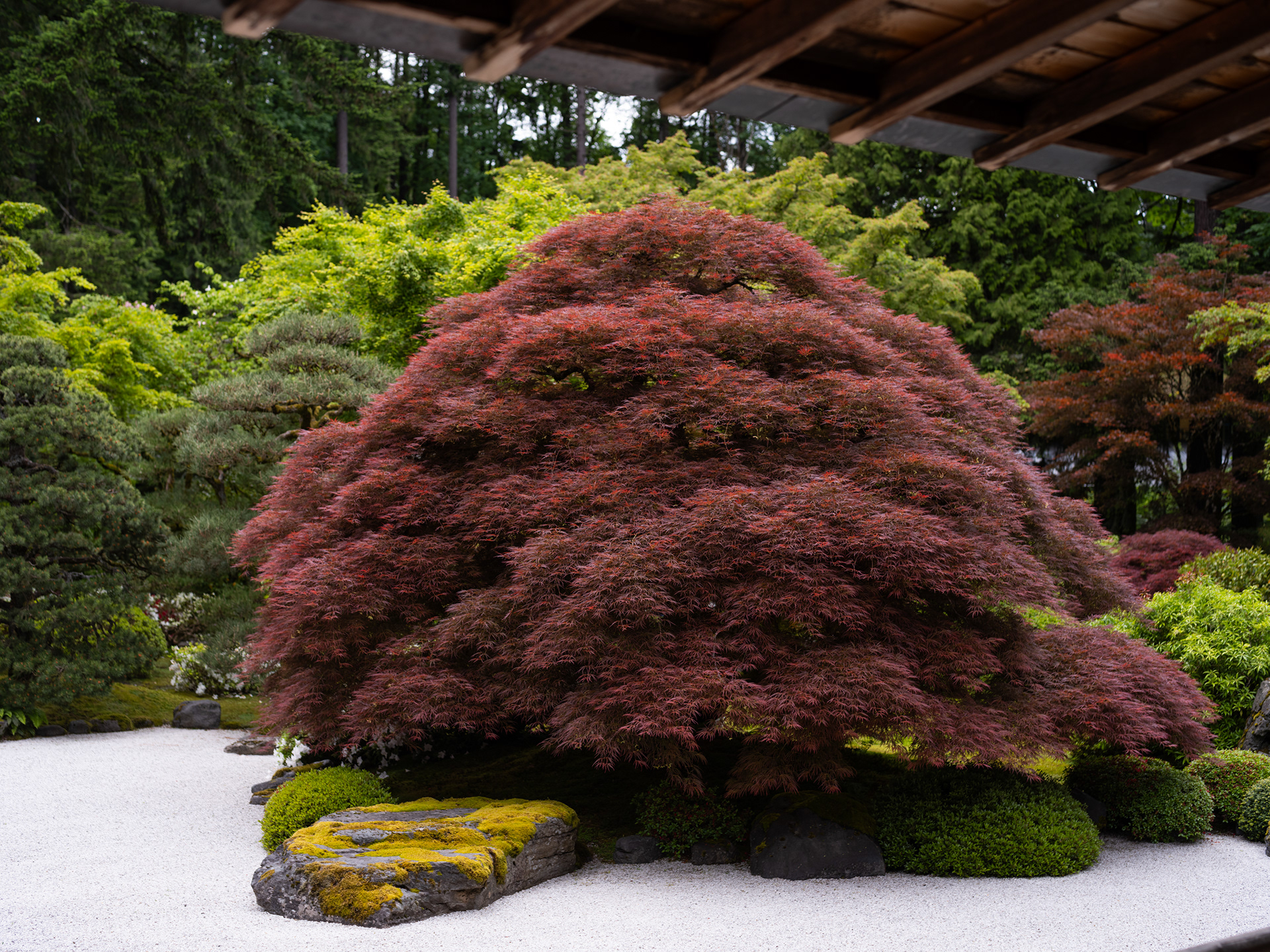
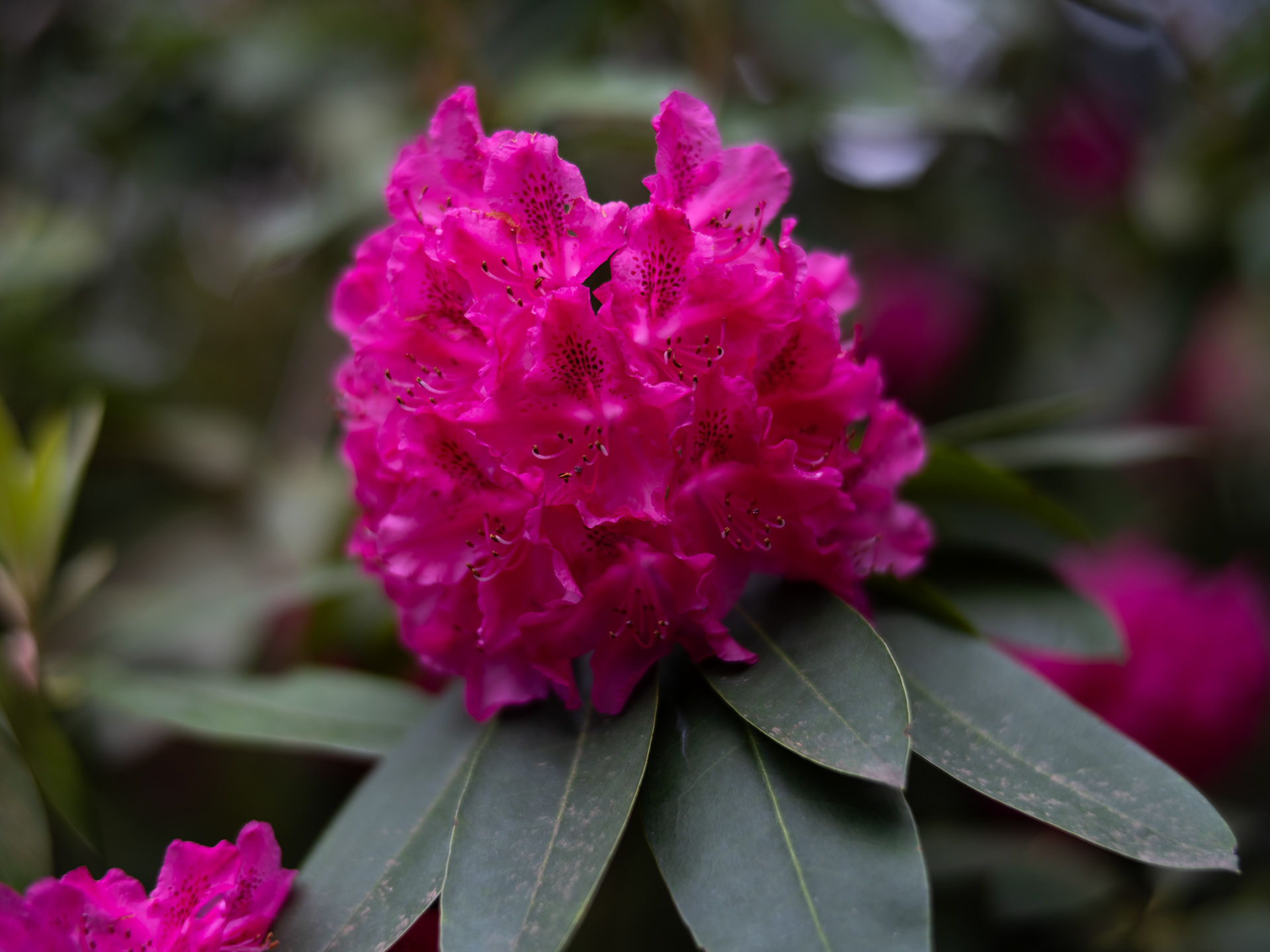
The Portland Japanese Garden was still in its winter-state when I was last there, but this time it was in full bloom -other than the Cherry Blossoms which had already fallen.

Portland Japanese Gardens Strutting Their Stuff


Softly Glowing

Hard to tell the difference between this garden and our backyard, which also happens to be on planet Earth


Logan takes a moment along the Willamette River


The Soothing Sounds of Traffic
All stops were opportunistic, including a visit to the Washington side of the Bonneville Dam.

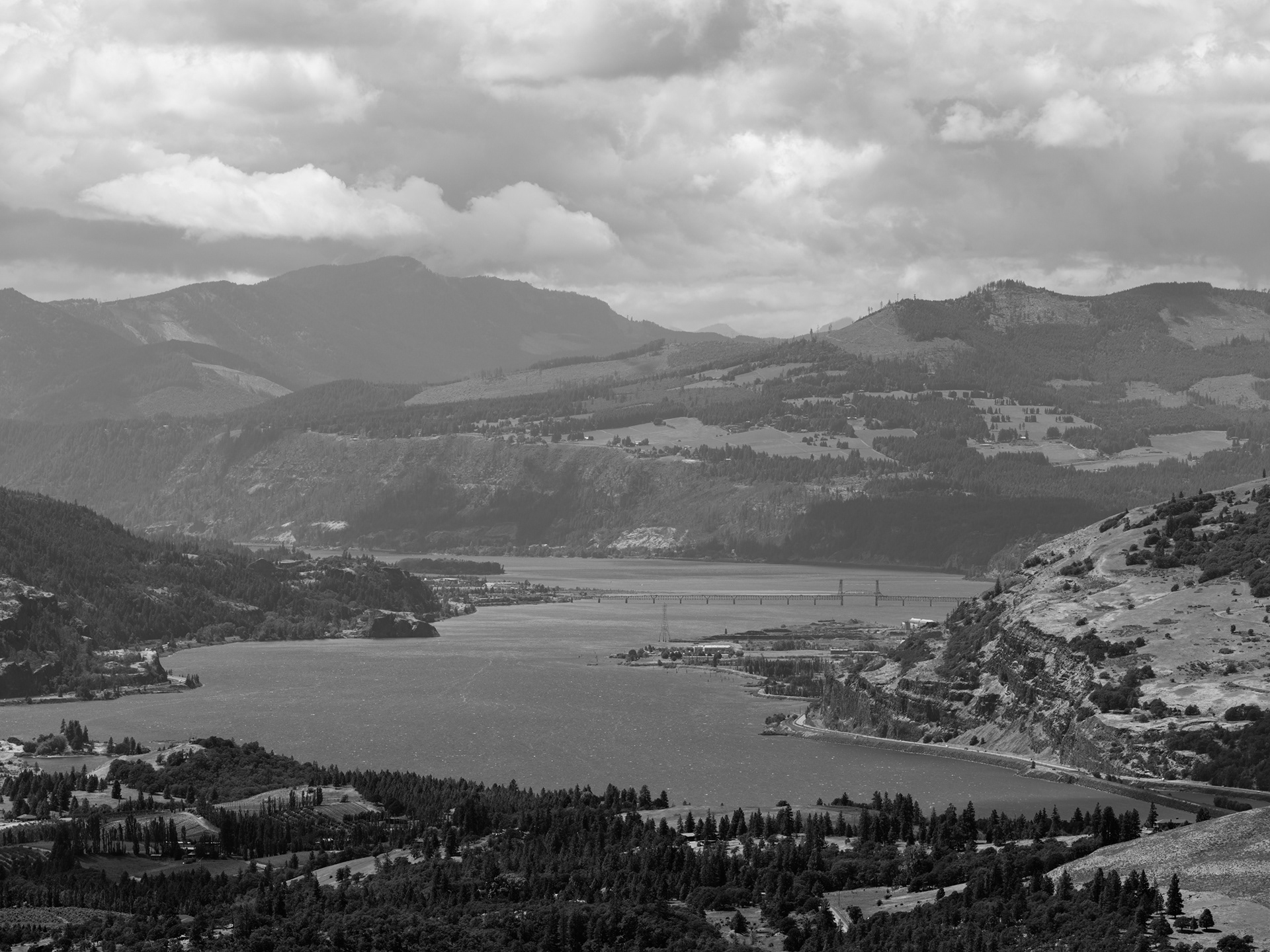
The Mighty Columbia River, from the Cape Horn lookout
Using the GF250MM F/4 to compress some distant bluffs


Salmon at the Washington Shore Visitor Center

What's not to love about concrete and steel at the Washington Shore Visitor Center of the Bonneville Dam
Tappy tap tap


Can y'all send some of this down to Sonoma County?
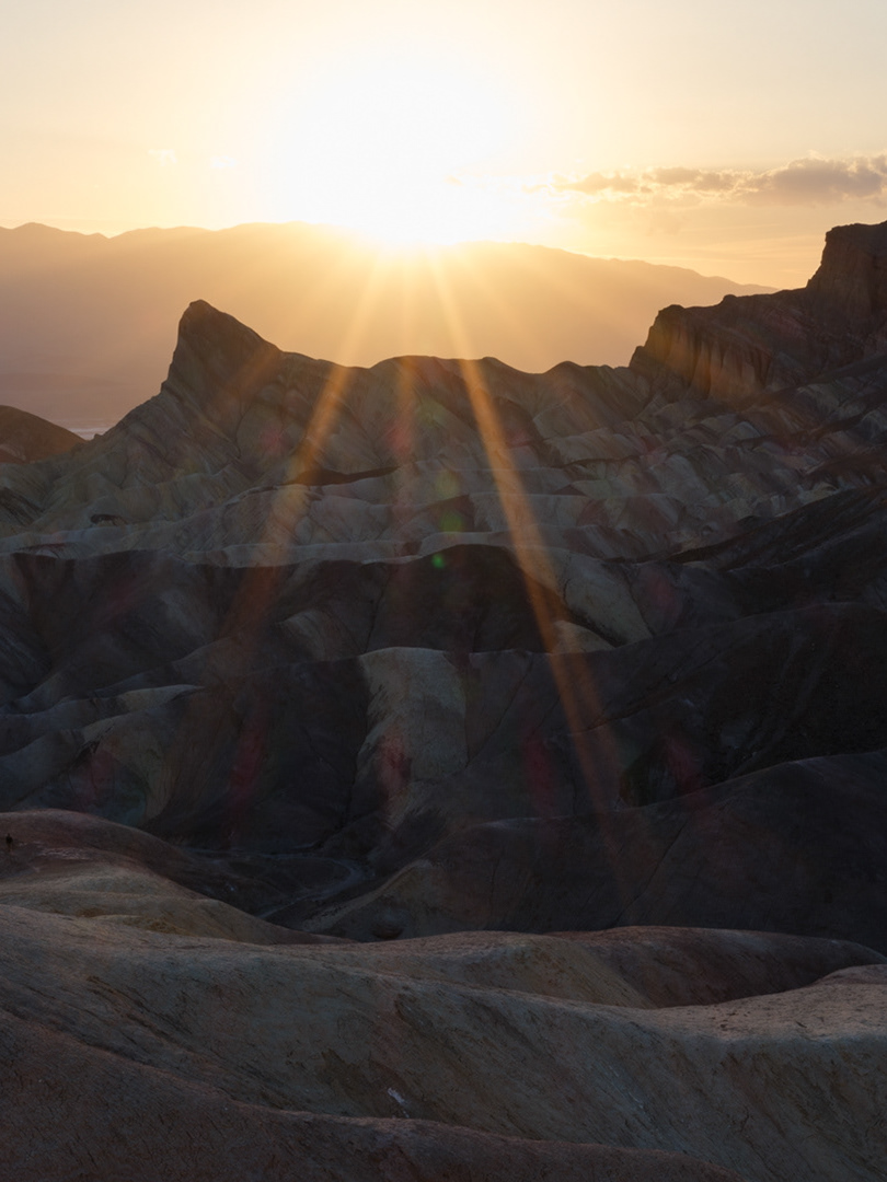
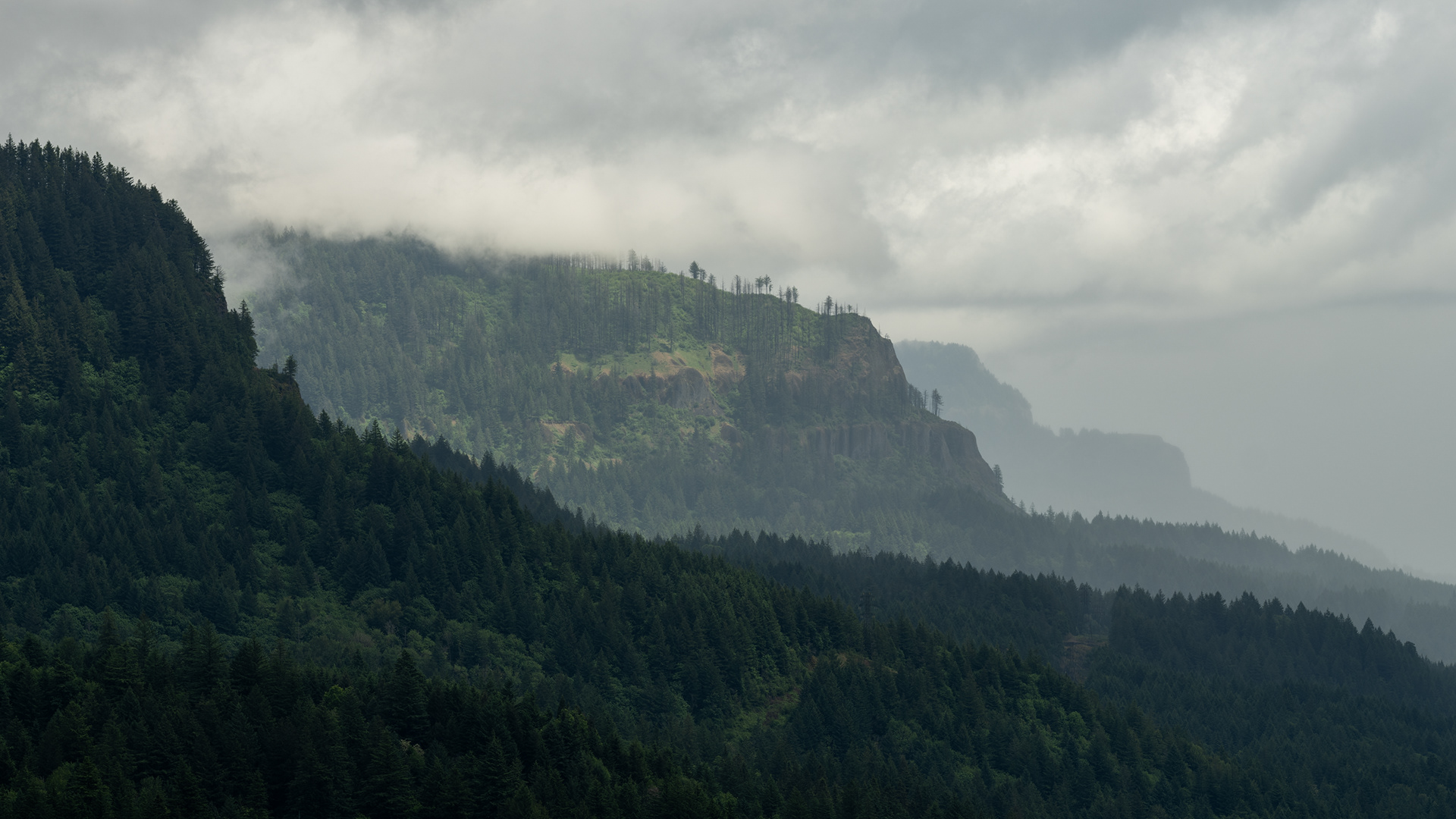
The clouds were thick as we traveled on small country back roads along the western flank of Hood Mountain. As we made our way along the southern side, mist turned to rain and then nearly to snow as we climbed to 6k feet to the Timberline Lodge parking lot. It was a bit of a mess up there, so we skipped the cocoa and headed back down to warmer elevations, settling for a walk about at the White River. We could just barely see parts of Mount Hood between breaks in the clouds, but it had otherwise hid from us since our arrival.

Bridal Veil Creek

Horsetail Falls

Horsetail Falls

Bridal Veil Falls

Getting Funky

Latourell Falls

Vista House at Crown Point

Rainy Mt. Hood Hwy

More Amosphere along Mt. Hood Hwy

Snow at 6k' at the Timberline Lodge Parking Lot

White River
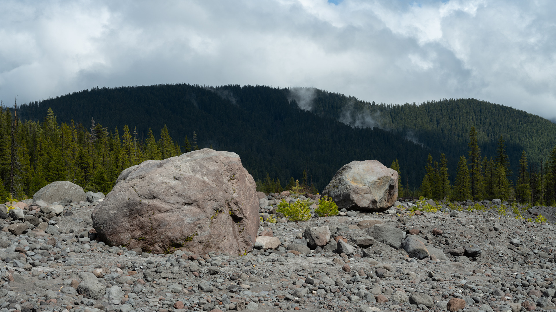
Boulders
Logan
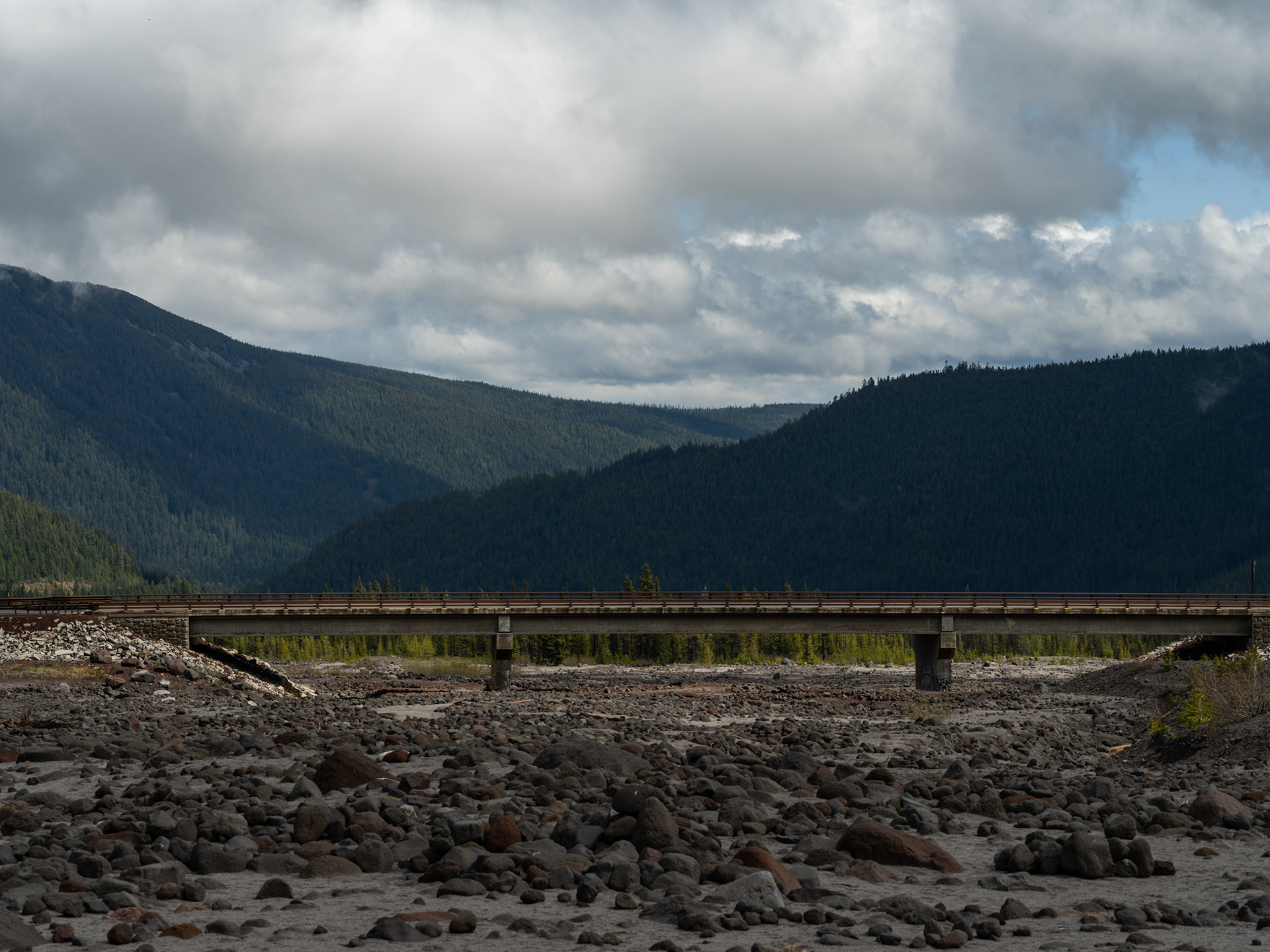
Another Bridge, but someone said this one wasn't interesting. WRONG, it's a bridge, therefore it's interesting

Logan

A little home in White Salmon

Logan basks in the evening light
Damn Cold - White River at West Sno-Park

NF-48 - One of countless forest roads to explore
The Log(an)

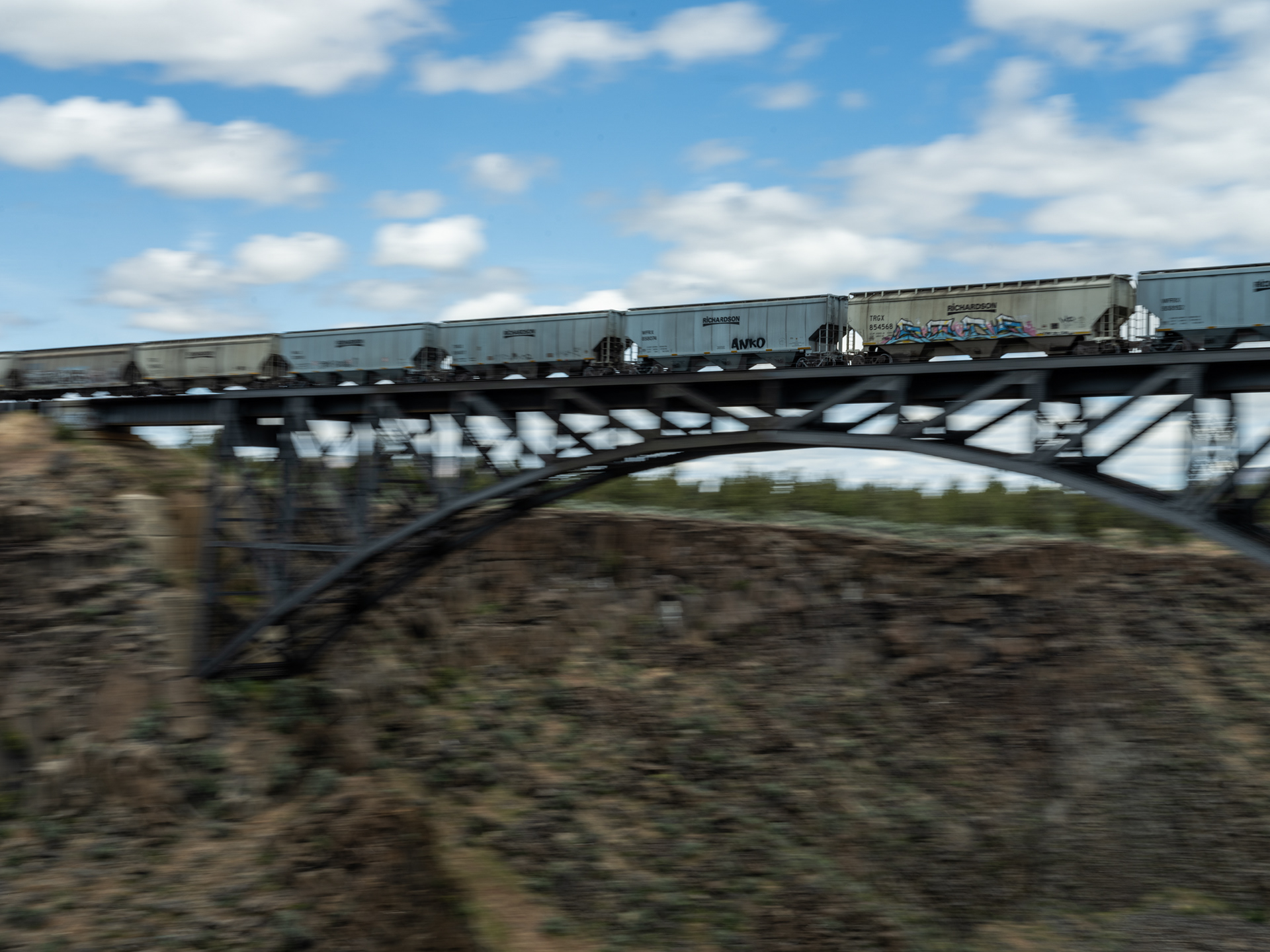
A BNSF Train Snakes Along the Columbia River

Morning Rainbow at the Airbnb
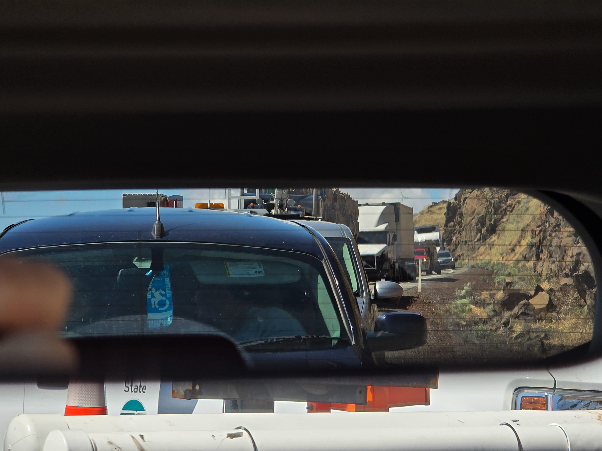
Traffic Jam

First glimpse of Hood's peak
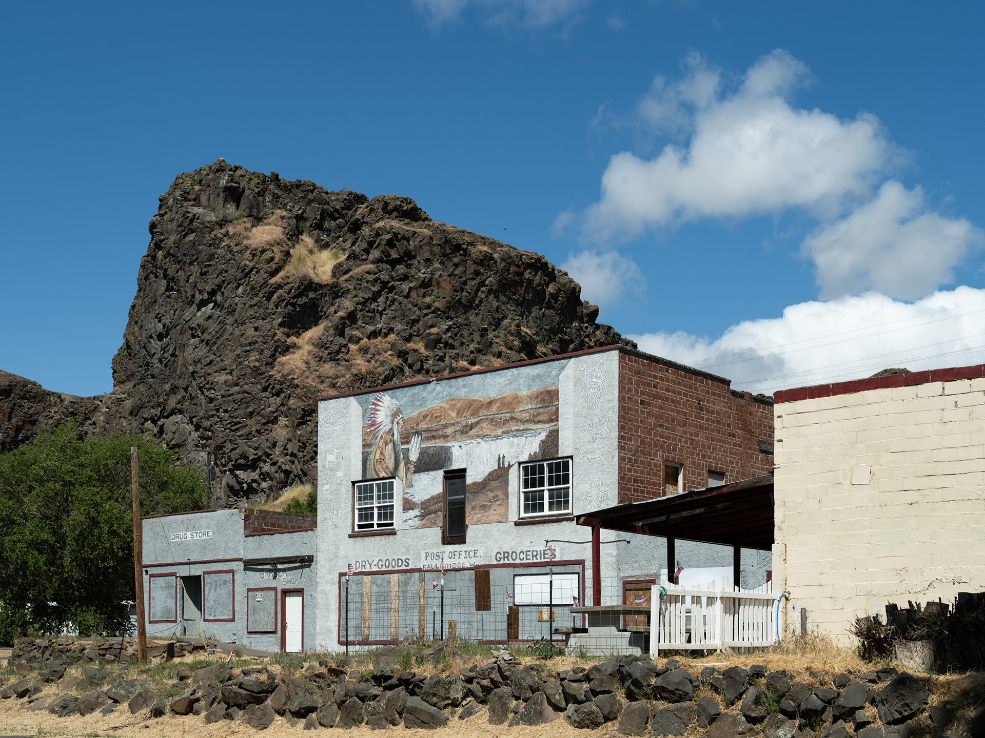
Wishram WA

Puffy Cloud and Wind Turbine

The Dalles Bridge

The Dalles Dam and Local Scenery
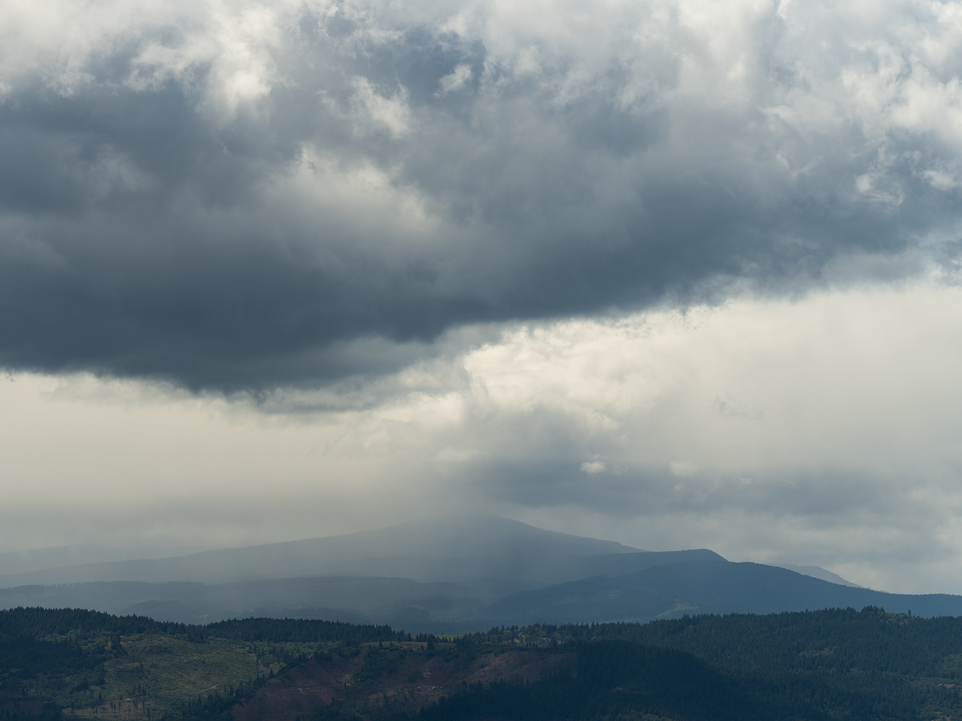
A storm lingers in the distance
The Wind Whipped on our Tom McCall Preserve Hike
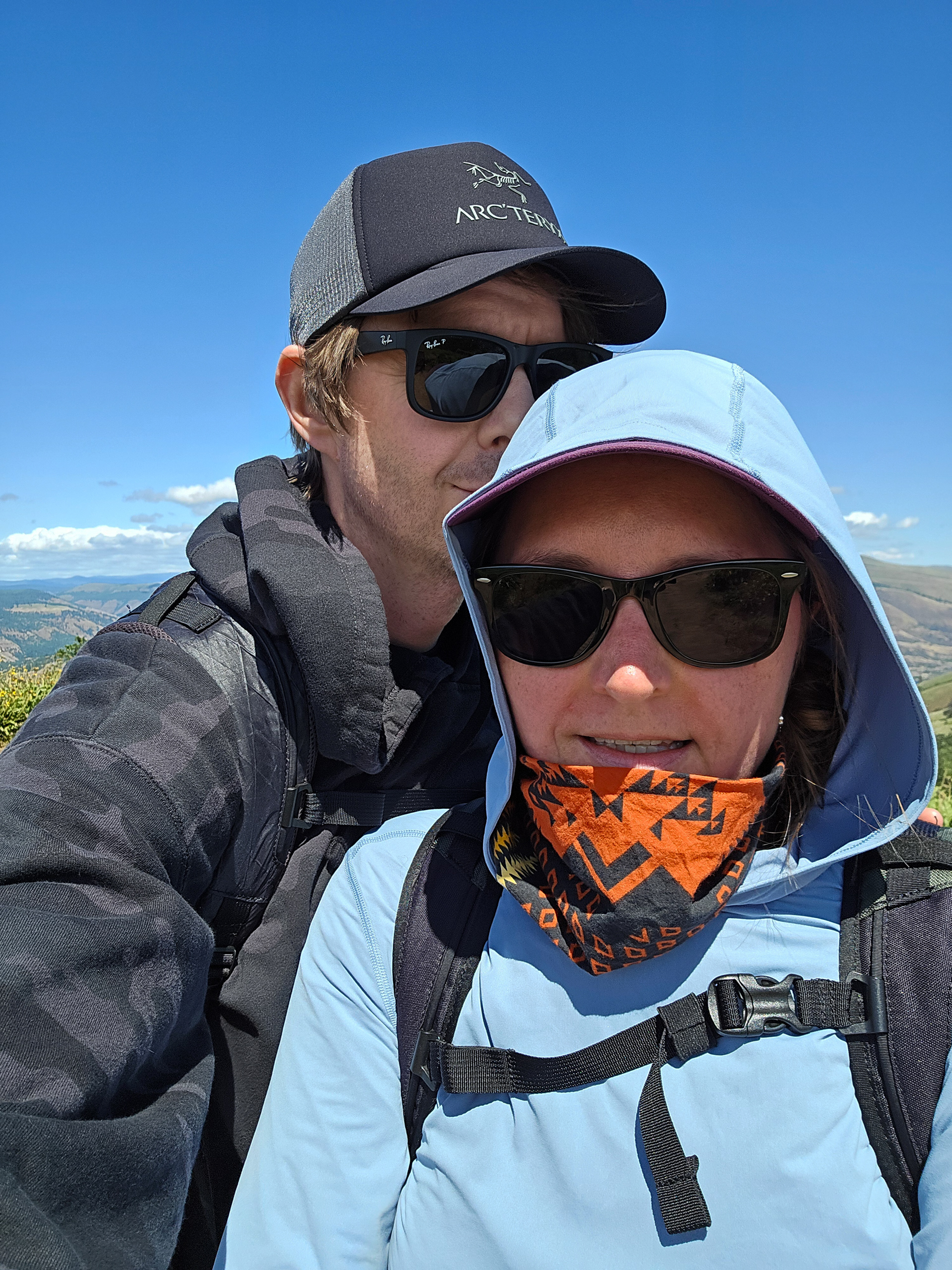
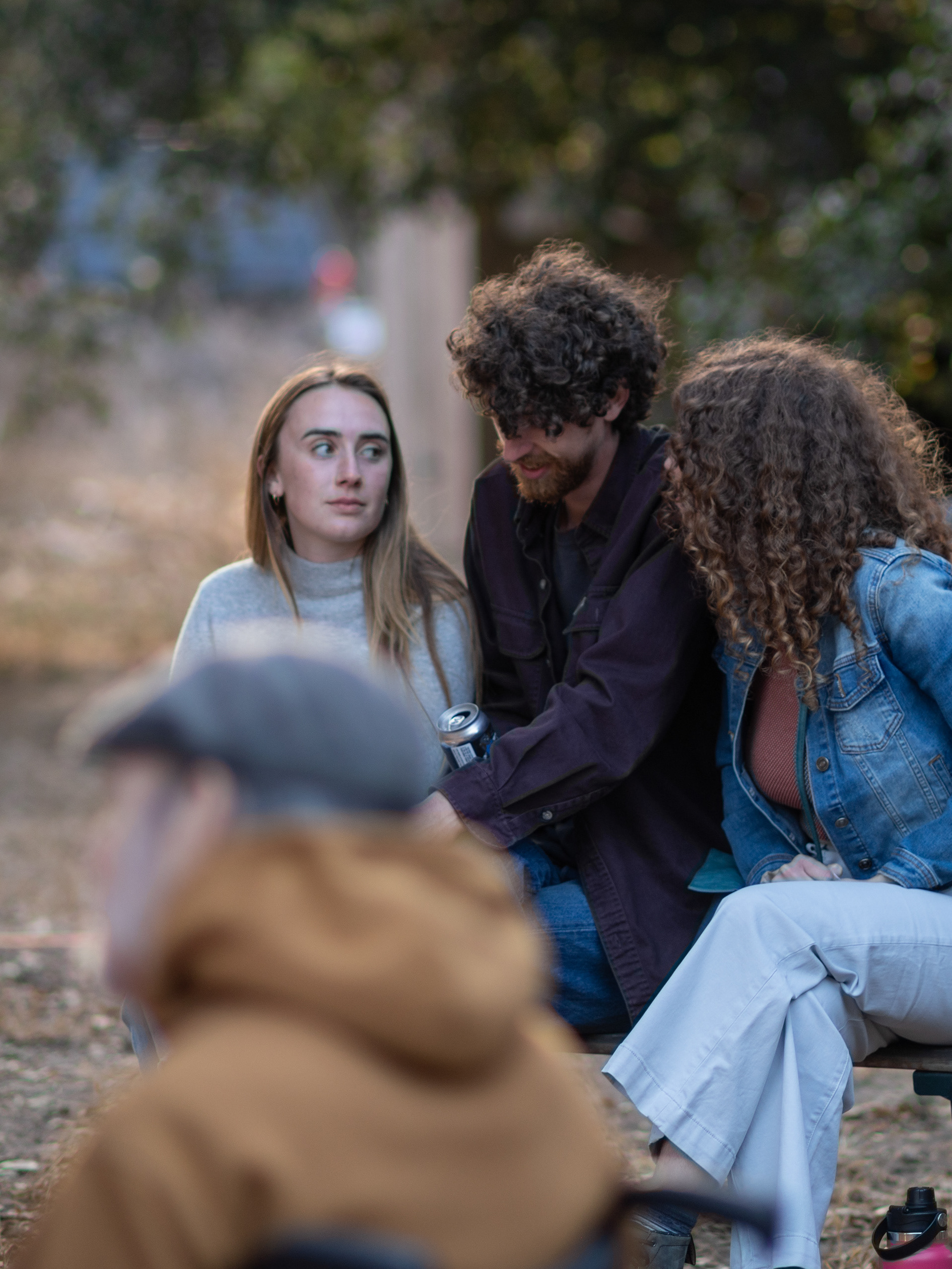
Hey, it's us

Rattlesnake Buddy
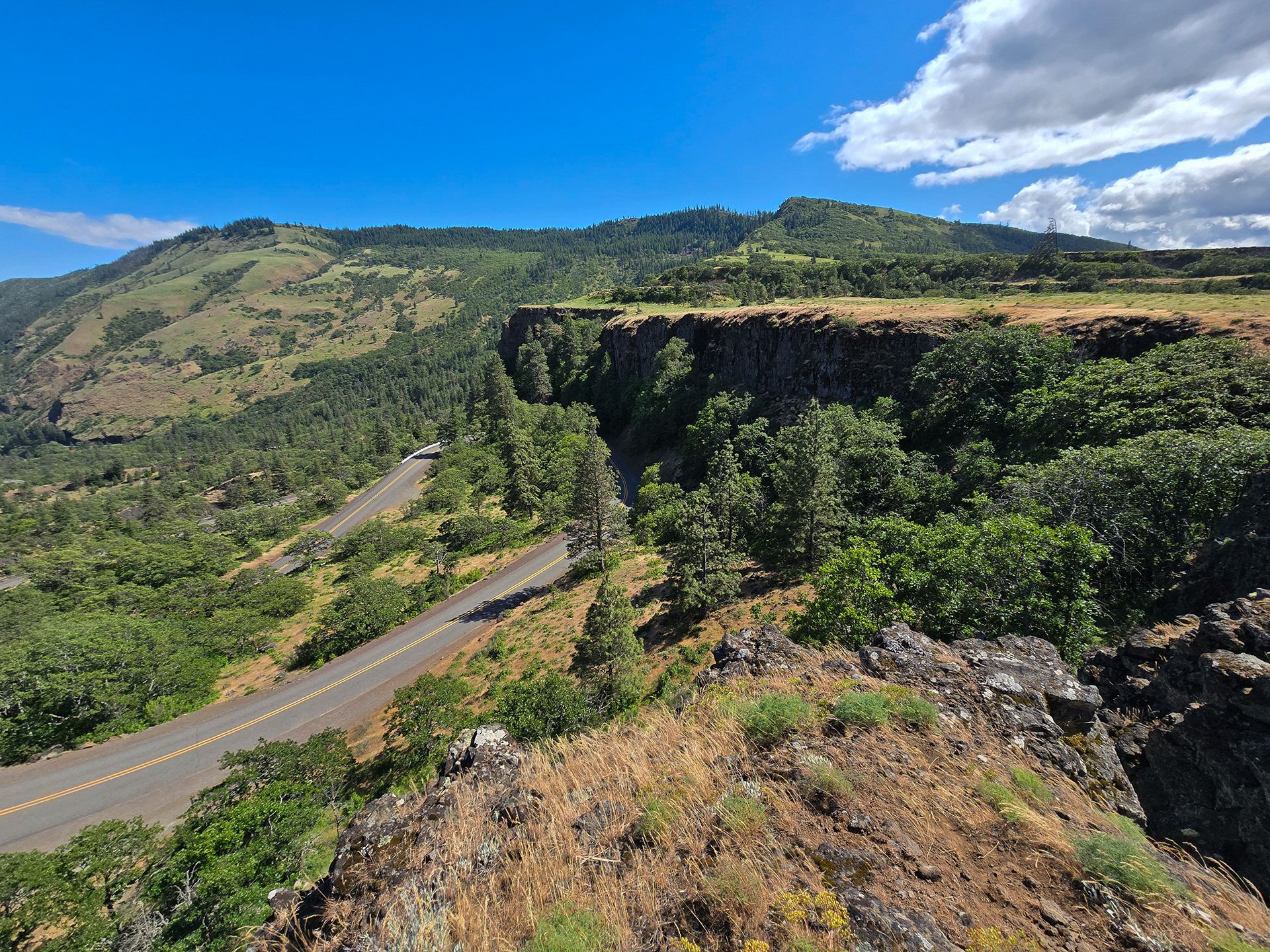
Tom McCall Point in the Distance

Logan

Barge on the Columbia
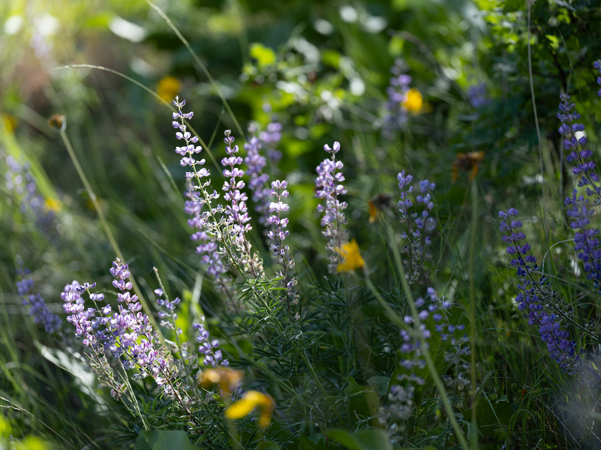
Lupine

Logan

Fun Twisties!

Barge on the Columbia
Hood River Bridge in the Distance
We needed to walk off our slight tipsiness, so we took the opportunity to walk to the park and watch all the wind-persons hit windy the river with their wind-powered wind toys. We wrapped up the day with a sunset drive and then called it. Zzzzz


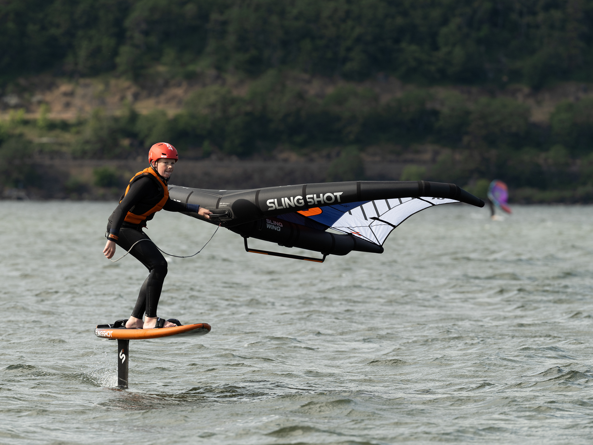


Windy Wind People on the Windy River Doing Wind Things

The Columbia River Gorge From White Salmon
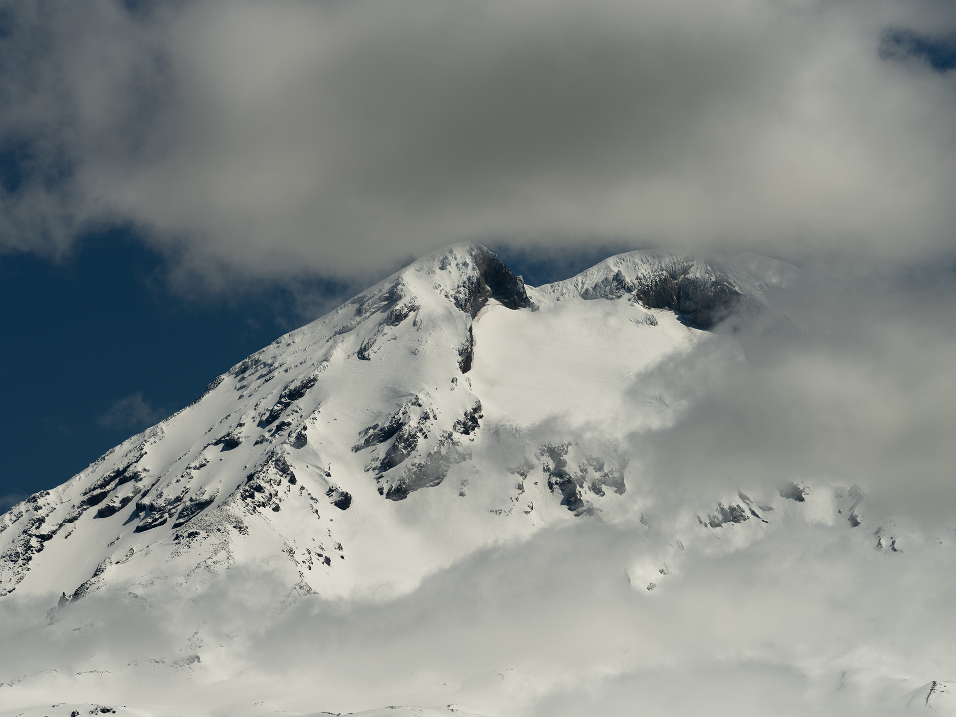
Mount Adams Summit

Mount Adams

Mount Hood, hiding once again with Lost Lake in the foreground

Mount Adams from the Oregon Side

Part of the Lost Lake Trail

Trillium

Leaning Tree - Lost Lake Trail

Lost Lake Trail
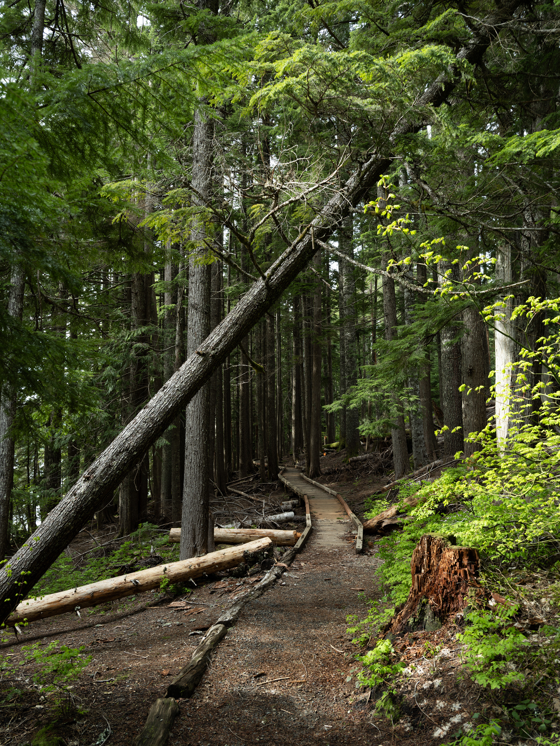
Boardwalk along the Lost Lake Trail

This means something - Lost Lake
We started the morning in Hood River, exploring downtown for a bit and reflecting that it had the potential of being a very livable city. Not that we're looking to move, but I'm sure most people like to go through the thought experiment of wondering what it'd be like pulling chocks and relocating to a new part of the world.

The Hood River Bridge was built in 1924, has a steel mesh deck and was a bit harrowing to cross at times. And cross it many times we did during our stay.

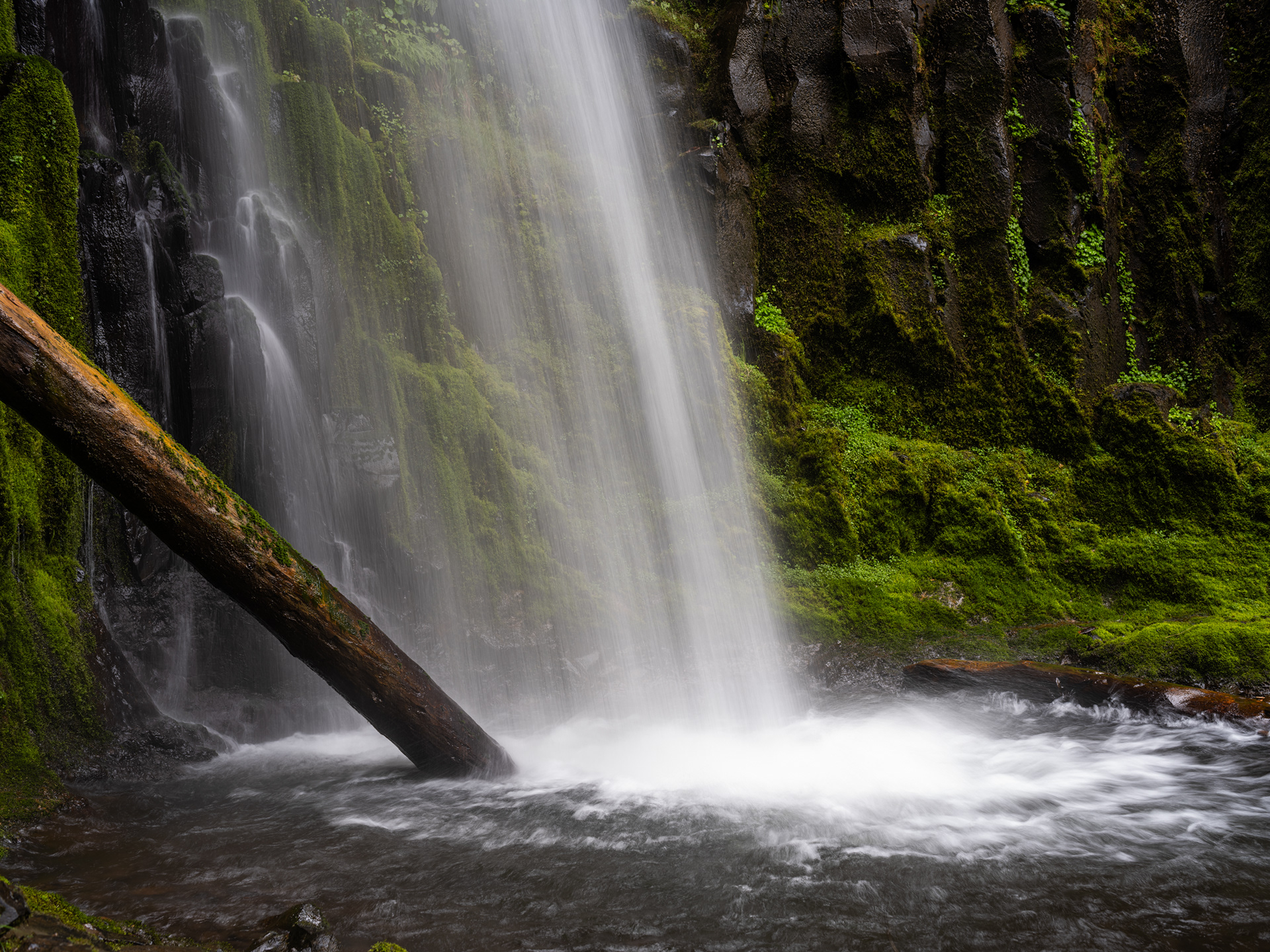
Dry Creek Falls plunges 74-feet over a basalt amphitheater
Dry Creek Falls Trail, slightly overgrown in this part but in the most amazing way

Bridge of the Gods
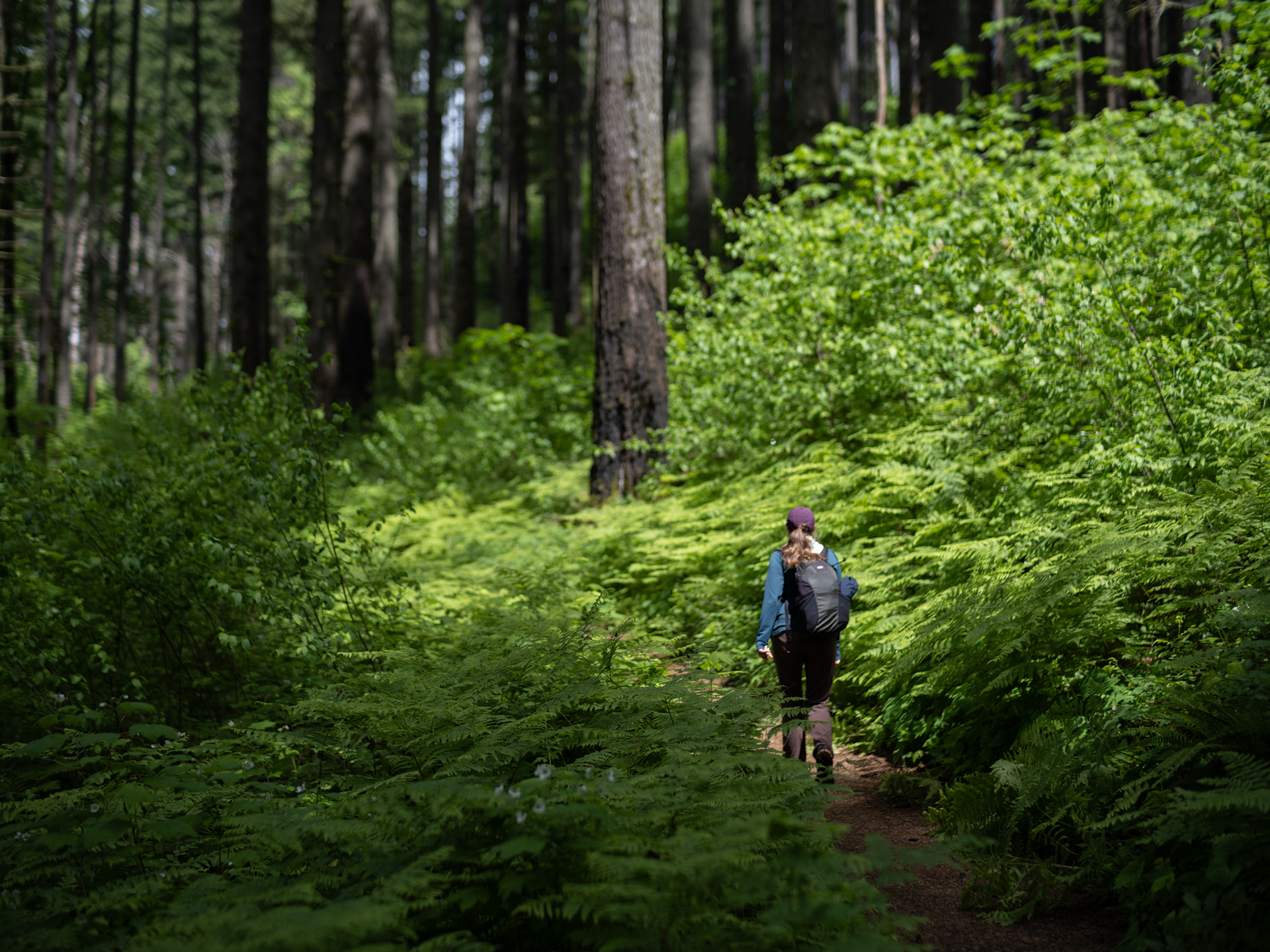
Logan along the Dry Creek Falls Trail
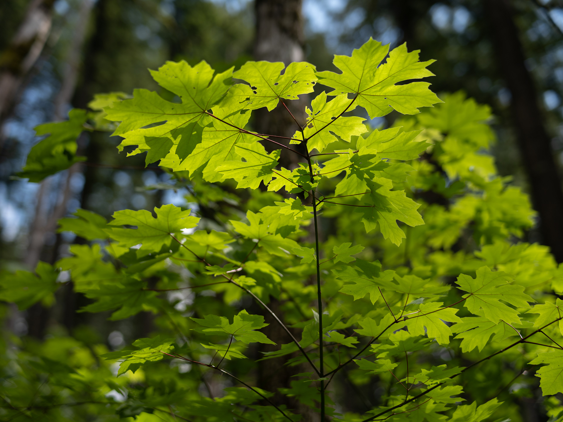
More Leaf Glow
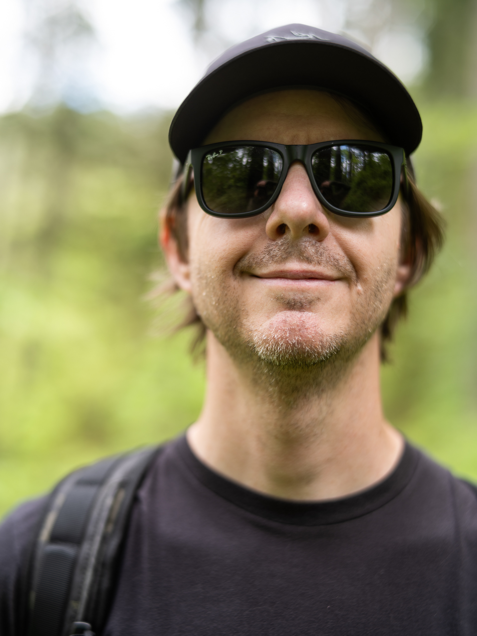
Hey, it's me! Thanks Logan

'tis I

A type of fern?


Ferns
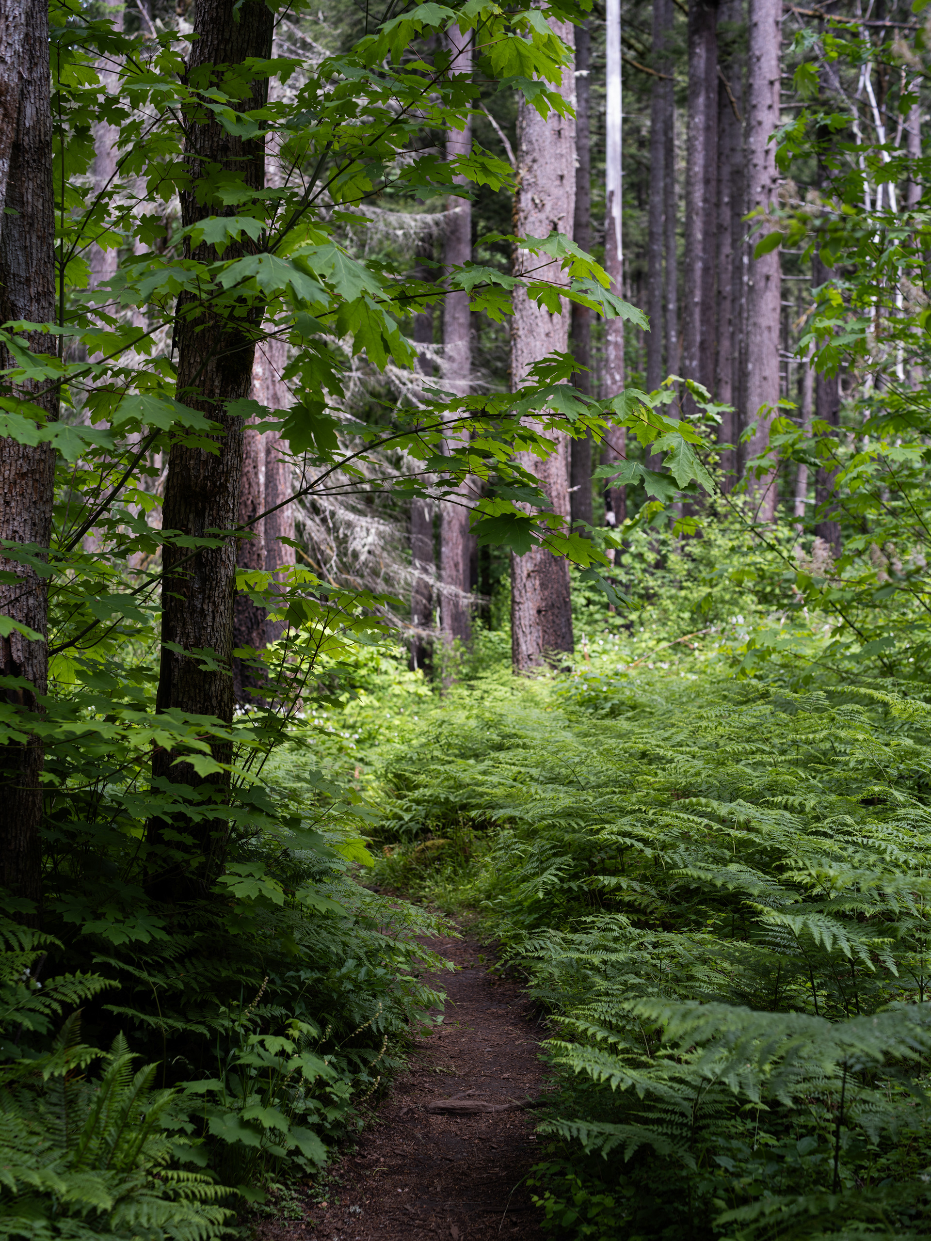
Dry Creek Falls Trail

Dry Creek Falls

Dry Creek Falls
Dry Creek Falls
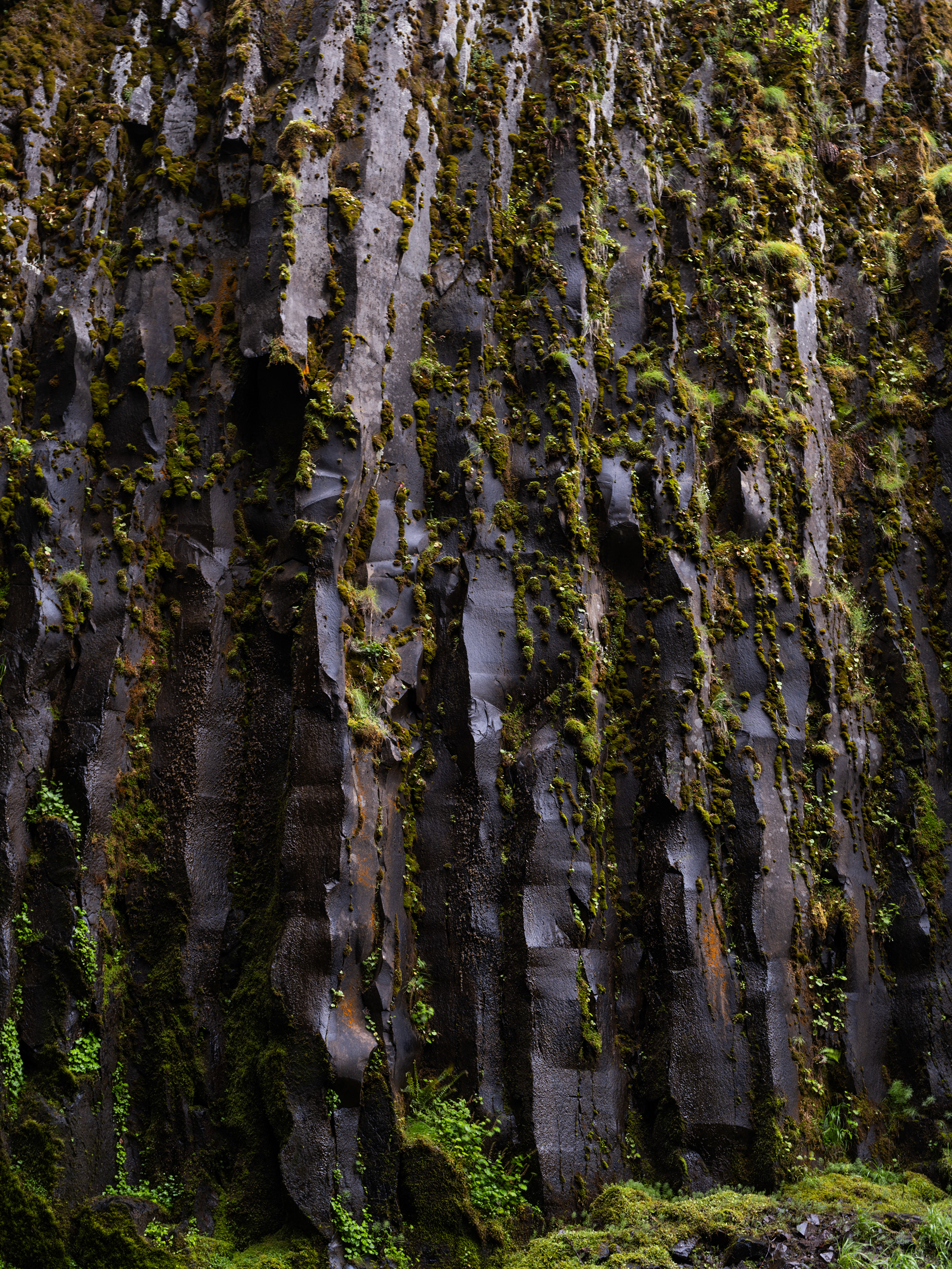
Basalt Columns

Dry Creek Falls - Best with Sound "On"
We saw two other couples during our visit. People are sleeping on this gem of a park!
That's right folks, another bridge, another train.
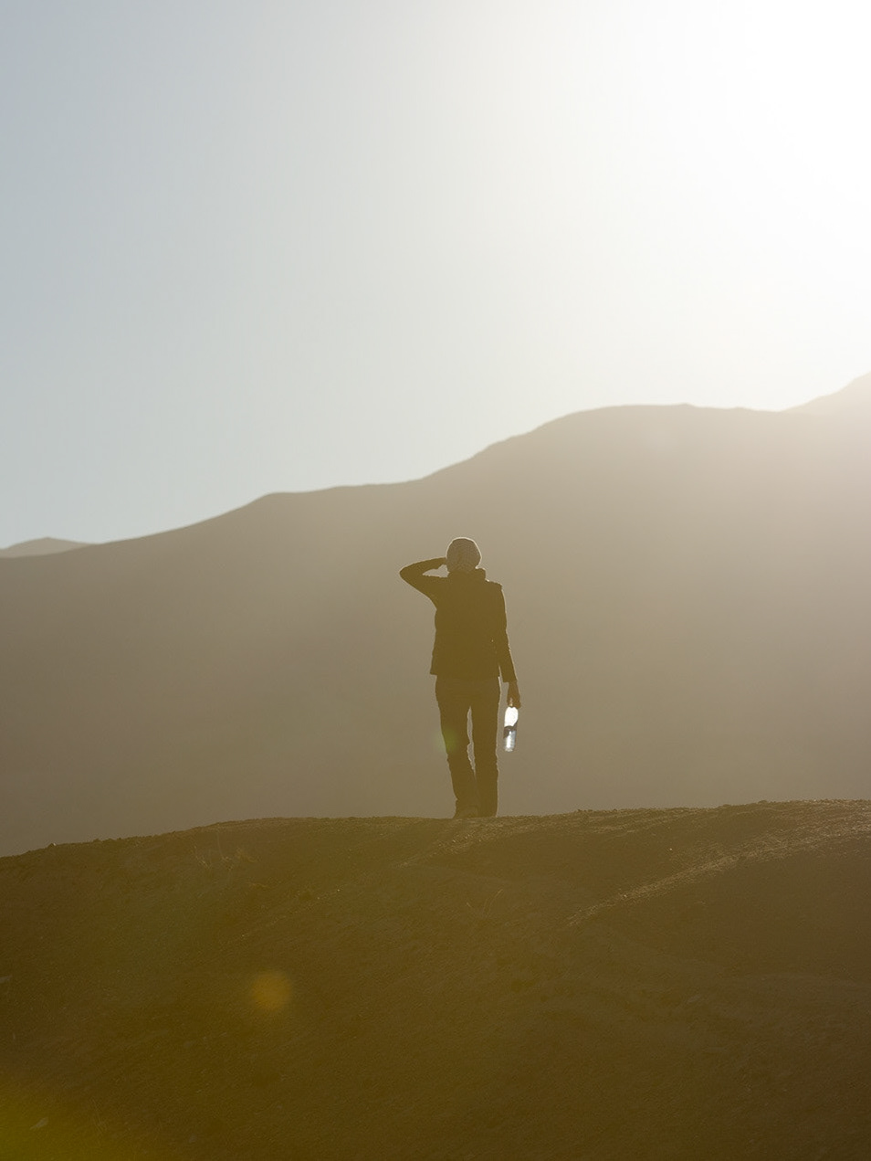
No shortage of midges at Tulelake on our way to the park. Gross!

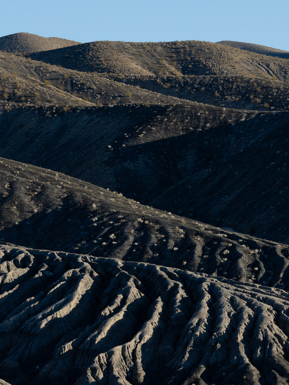
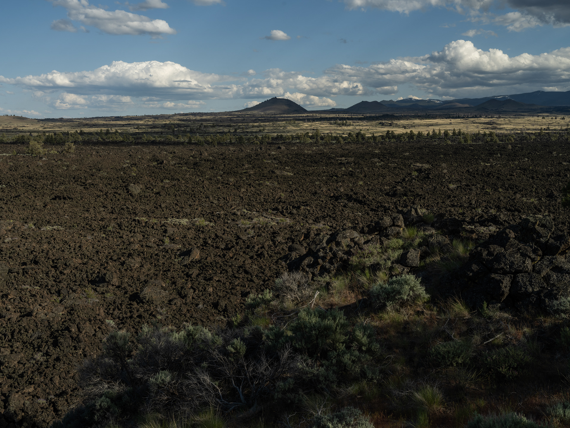
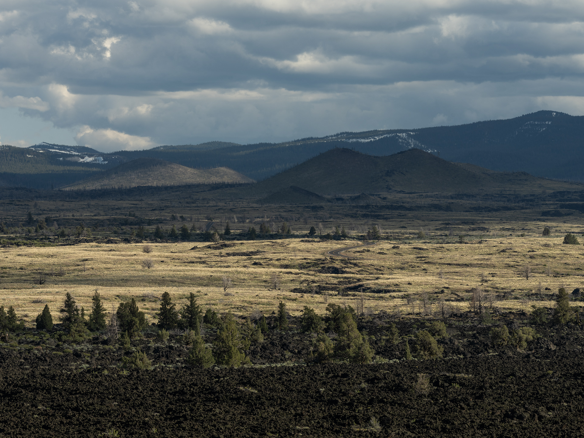
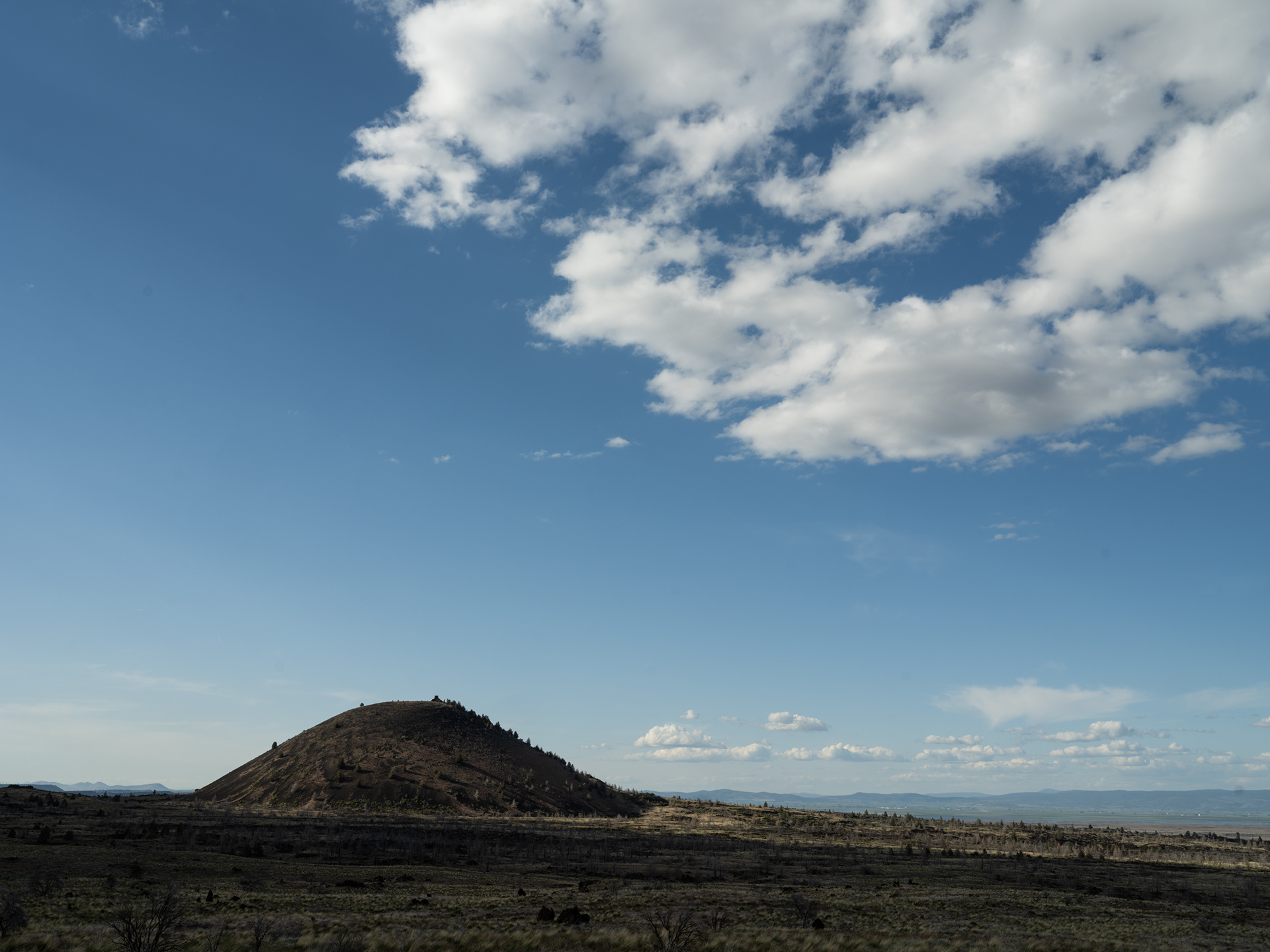
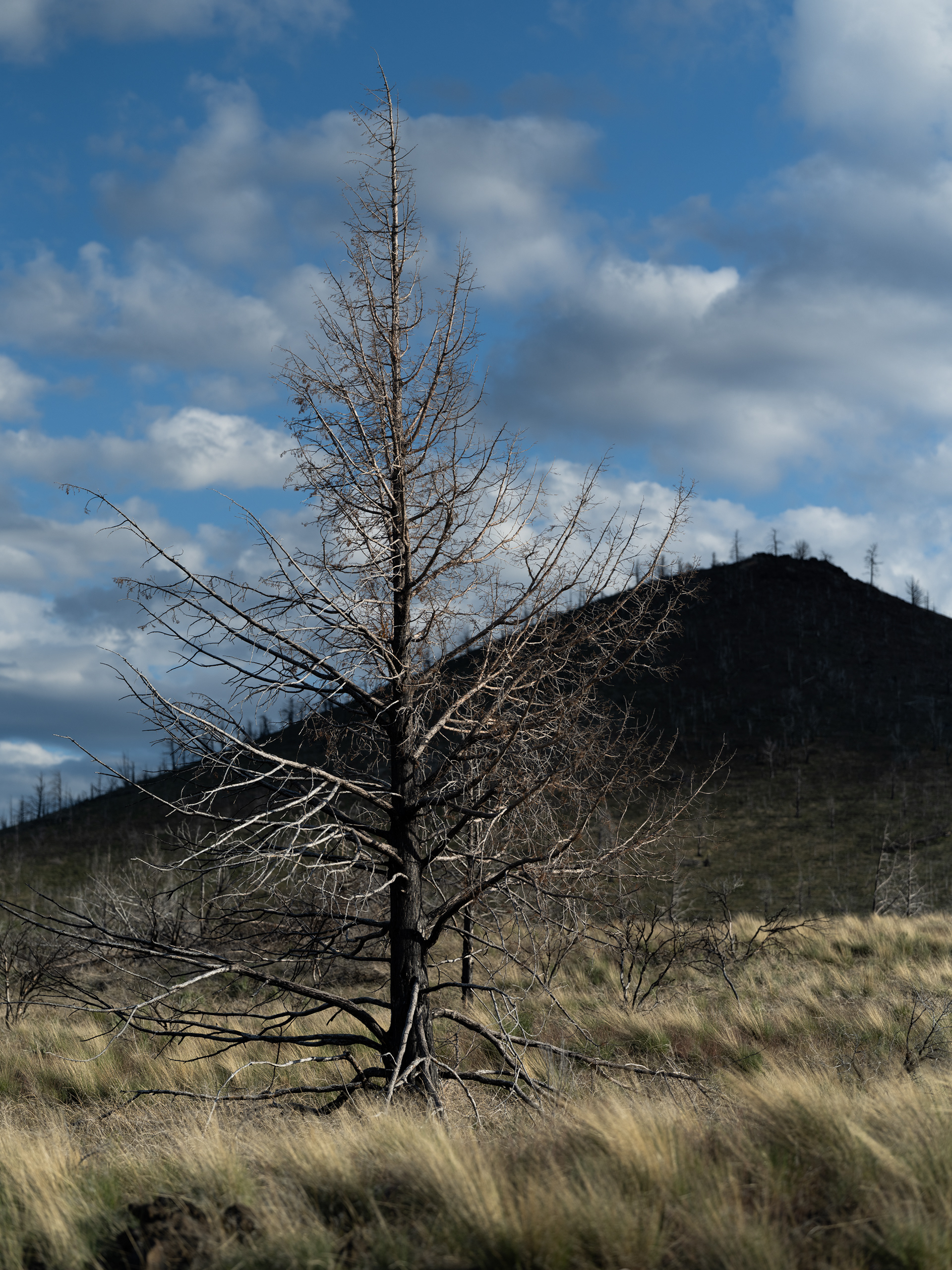
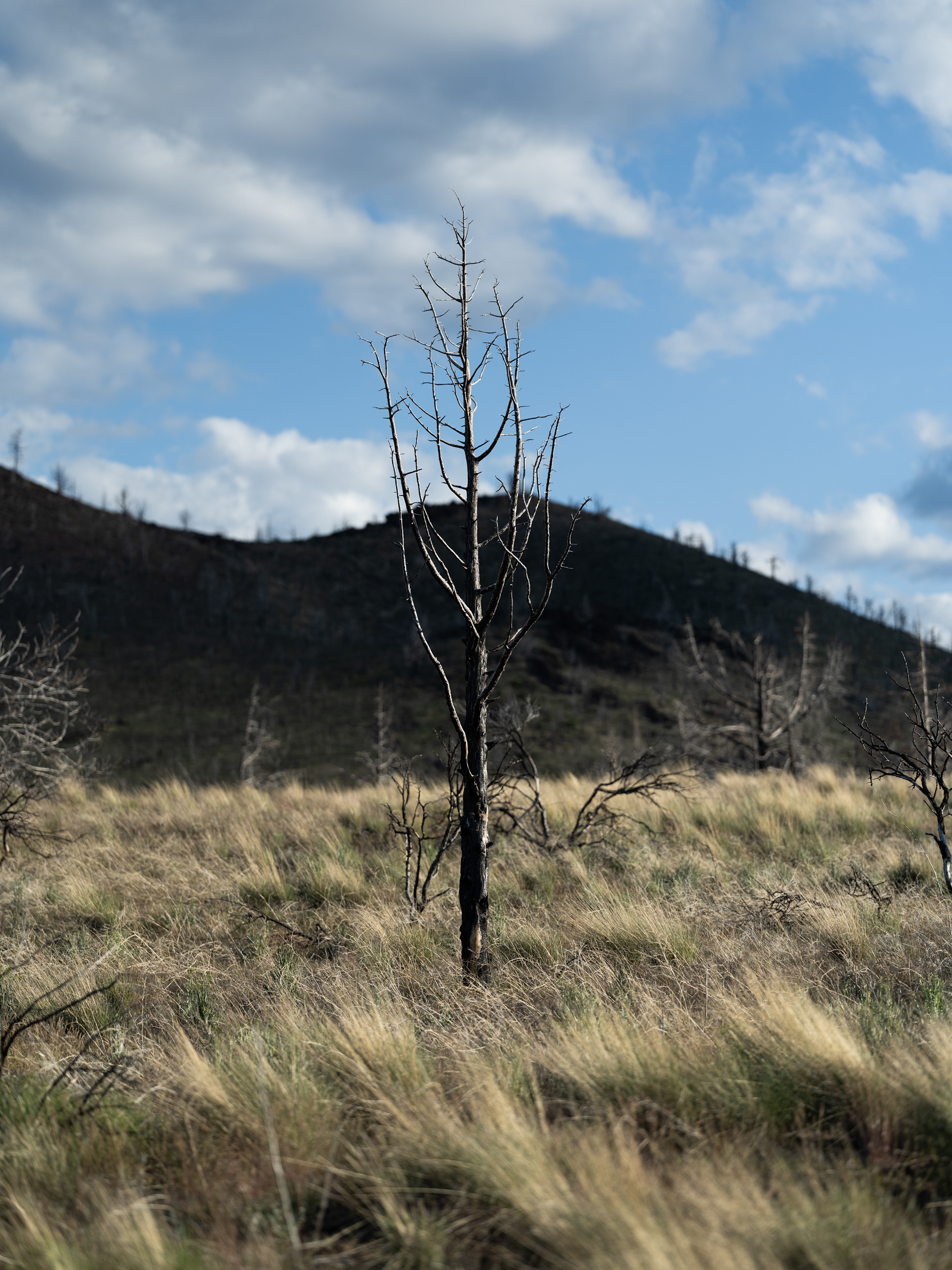
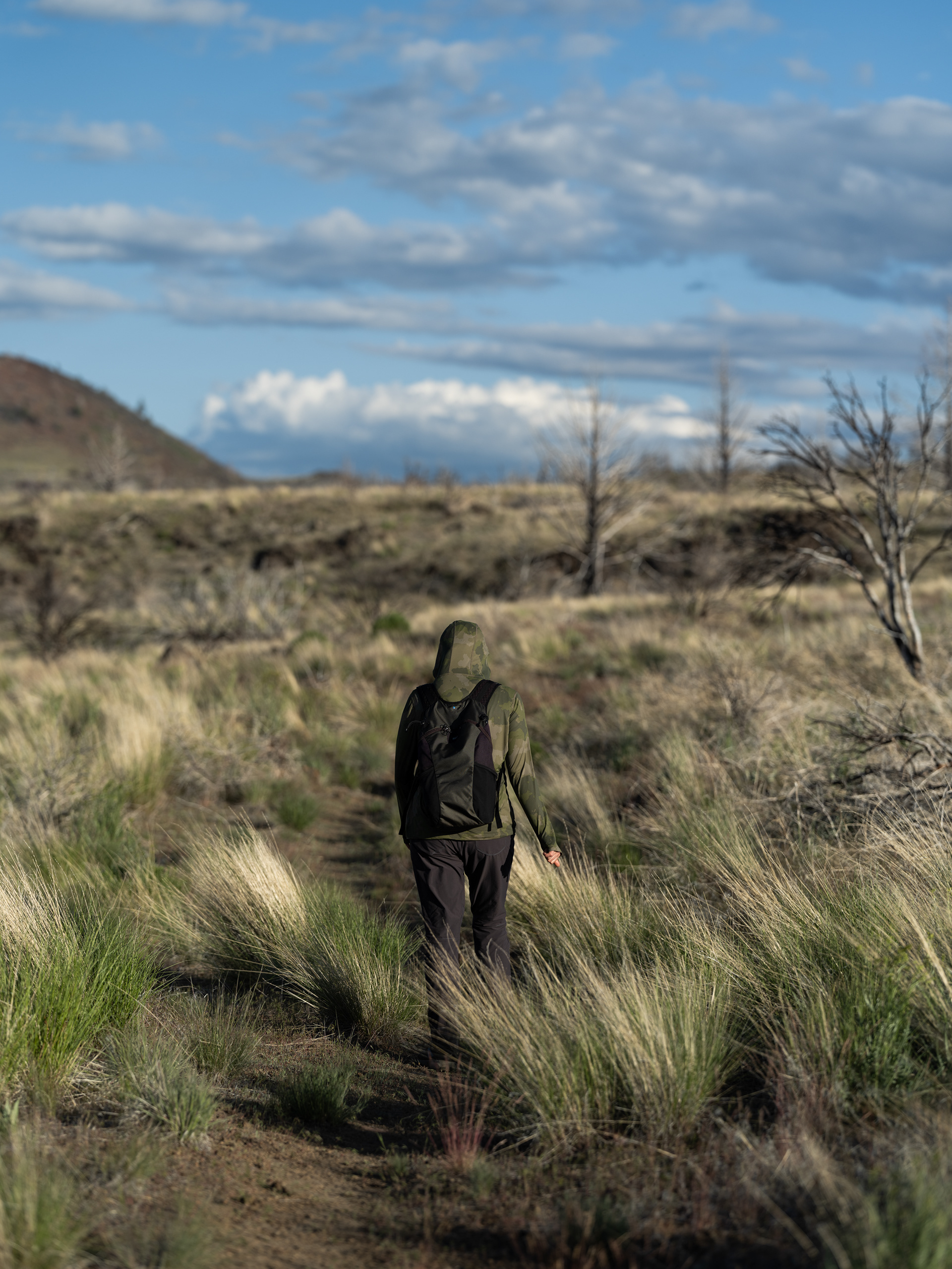
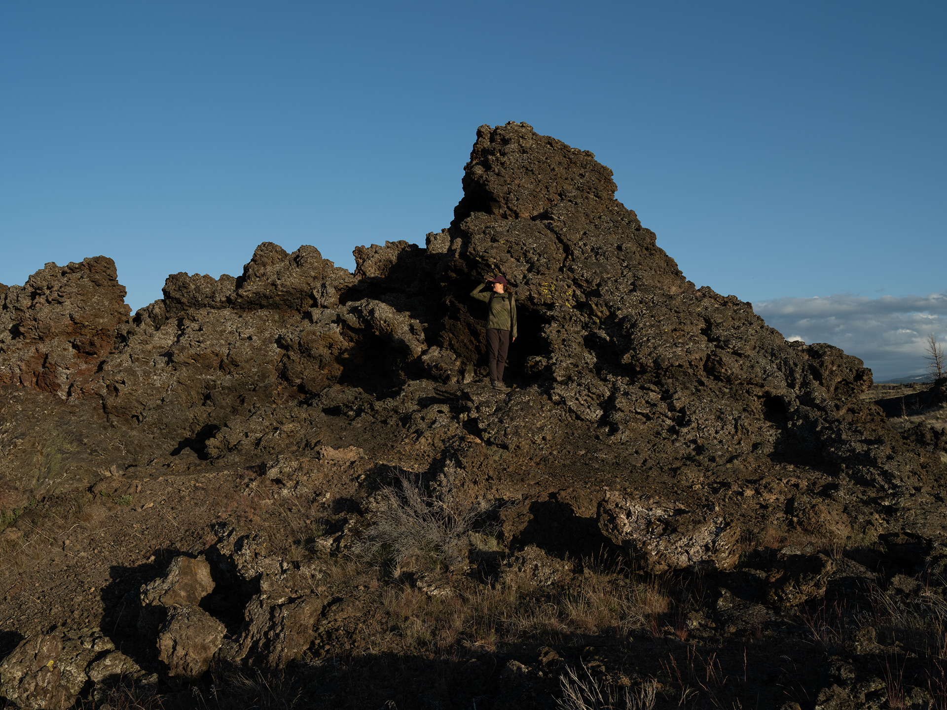
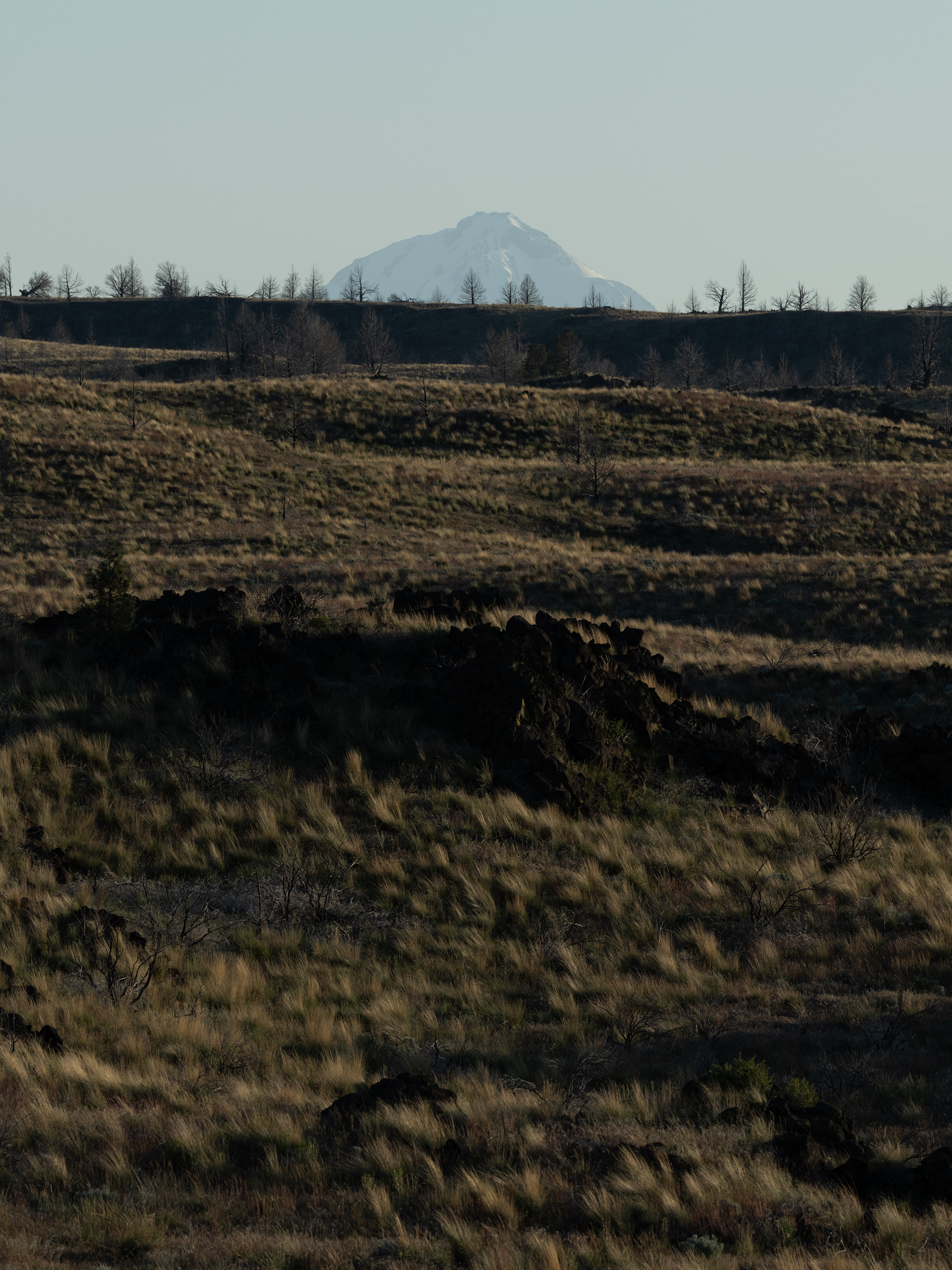
Volcanic Oddities at Lava Beds National Monument


I'd also like to extend a huge thank you to Logan's mom, Jan, for taking care of our home and kittens while we were away. You made this possible.
--Randy