


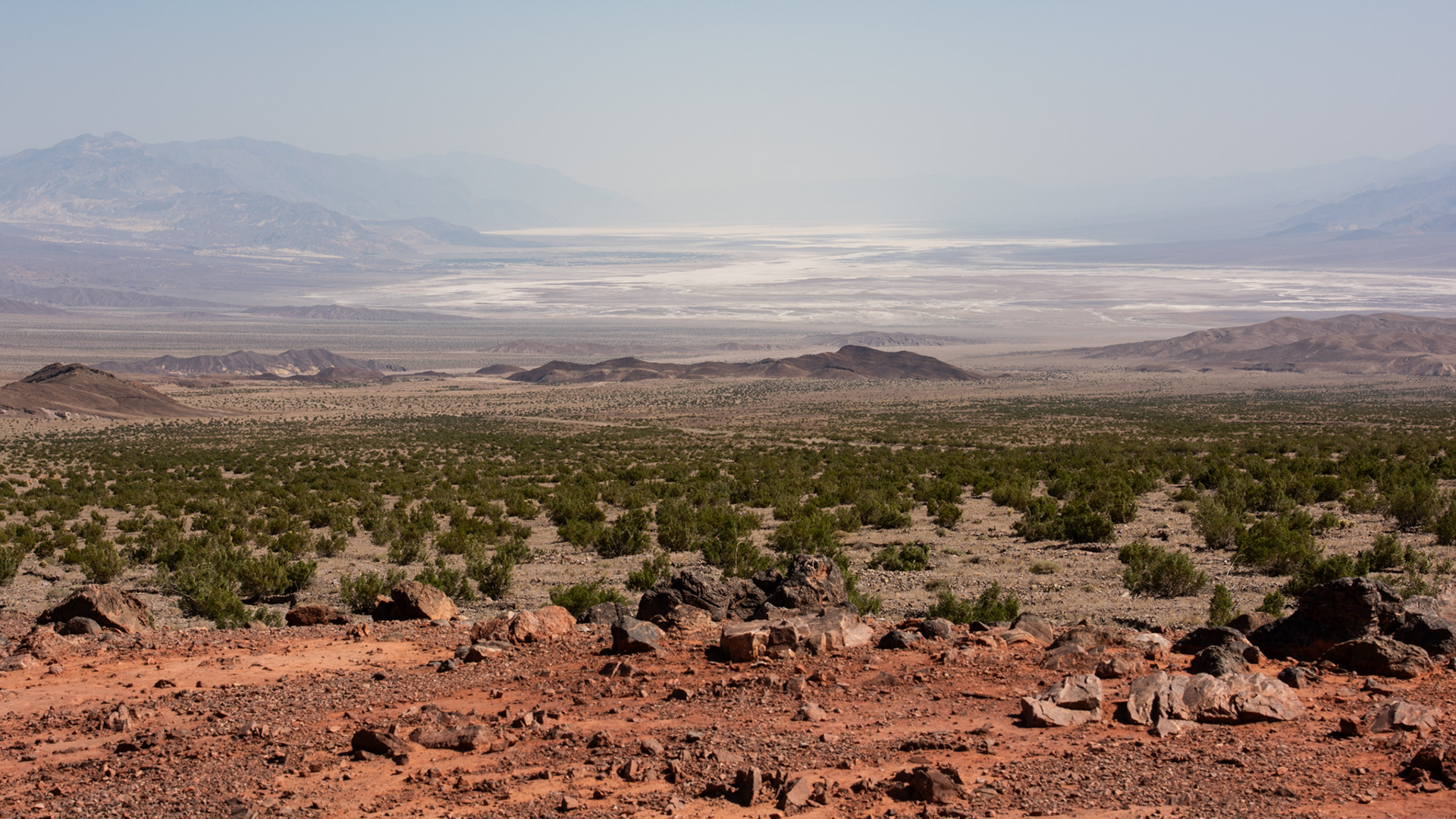

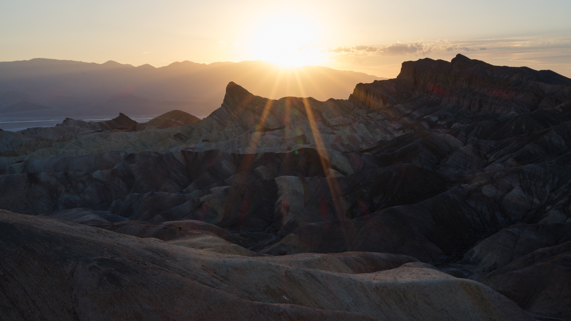
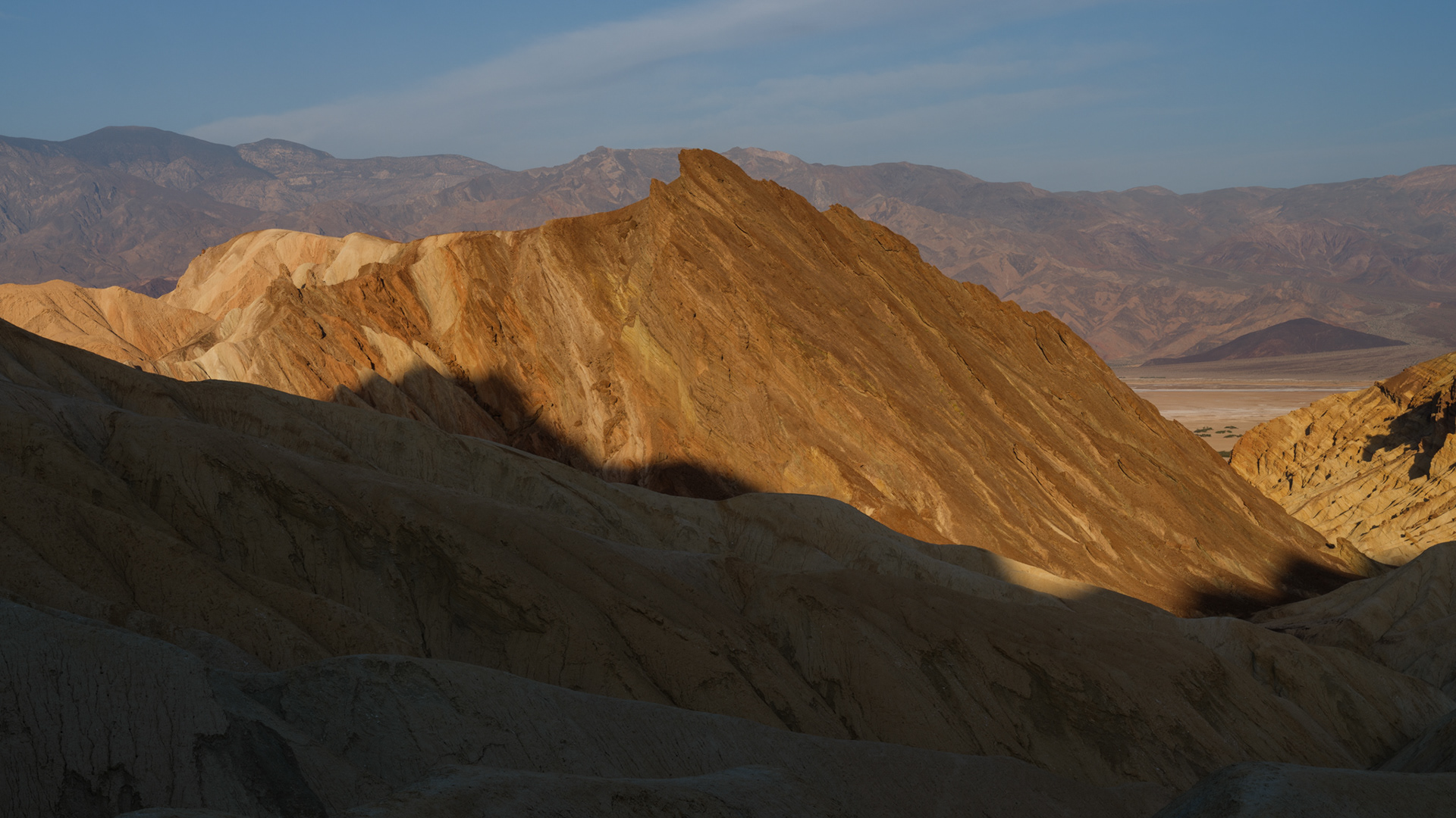
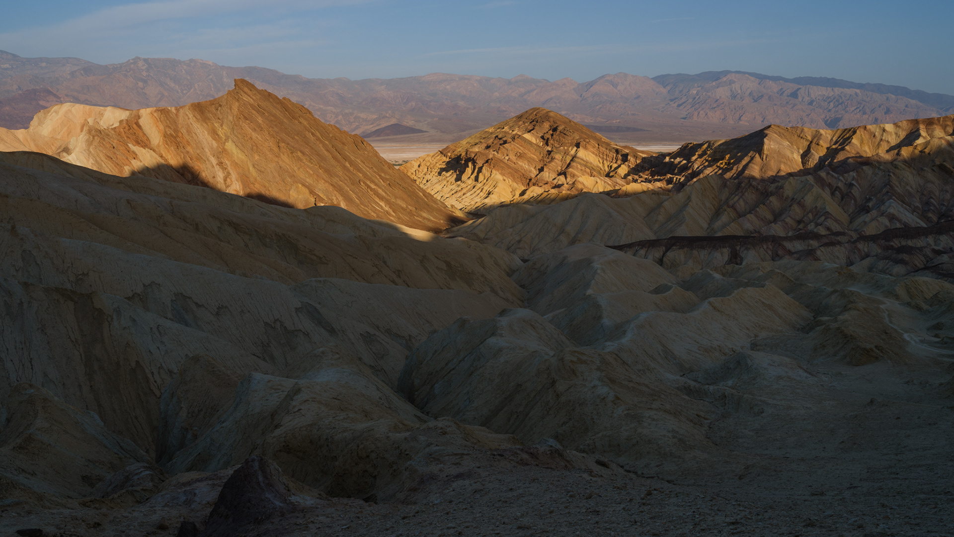
Looking south from Zabriskie Point
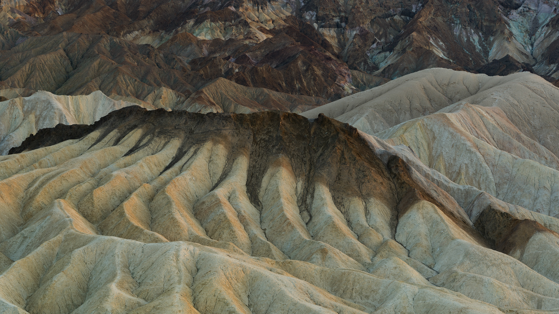
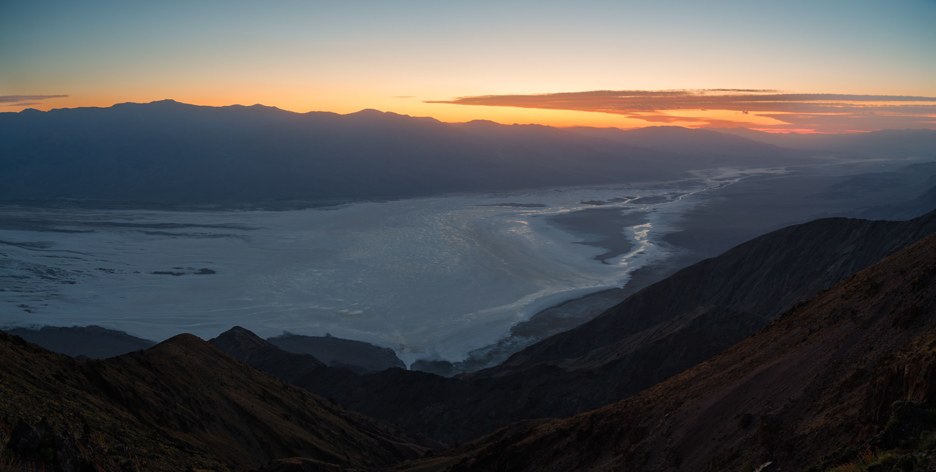
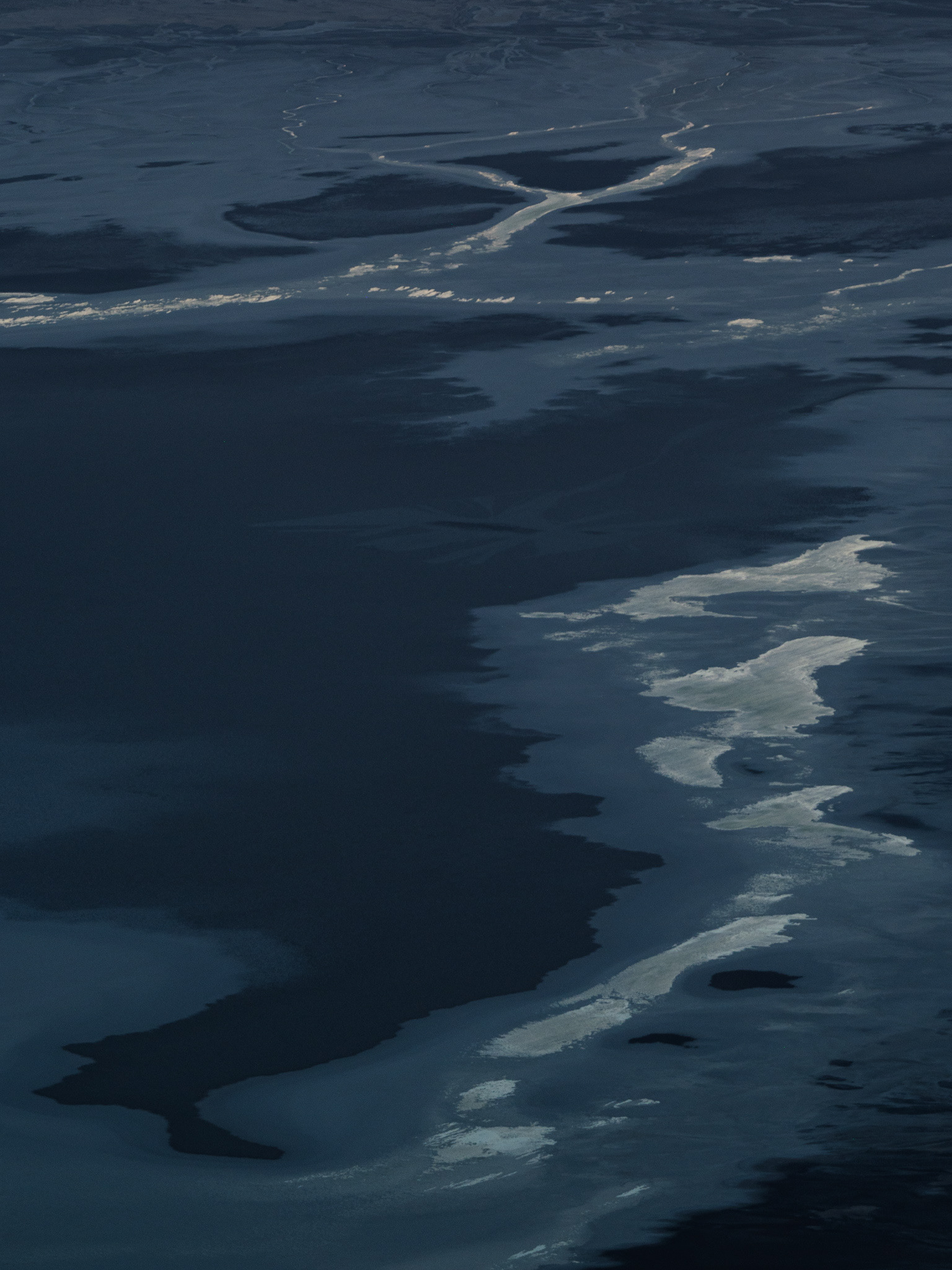
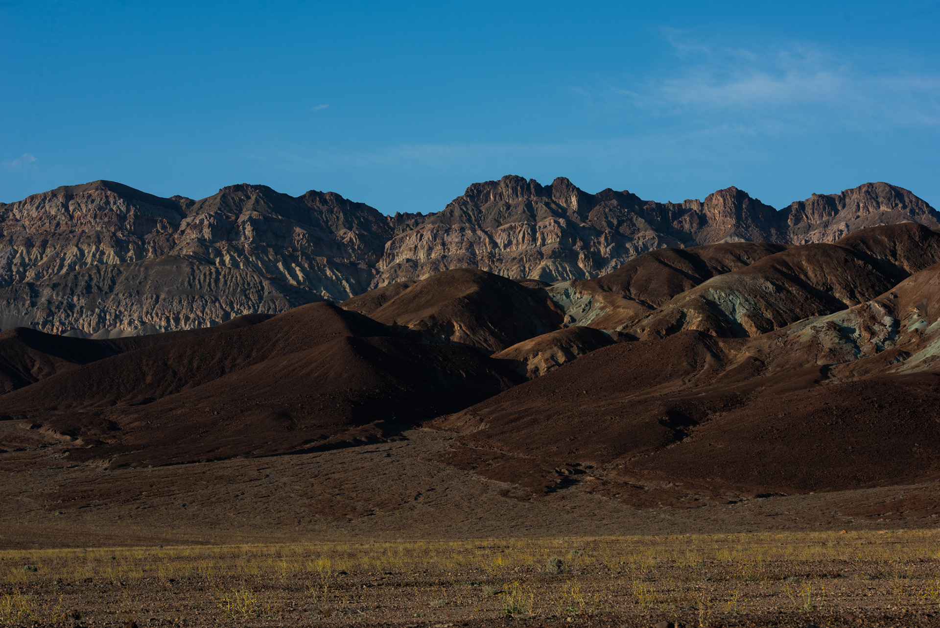
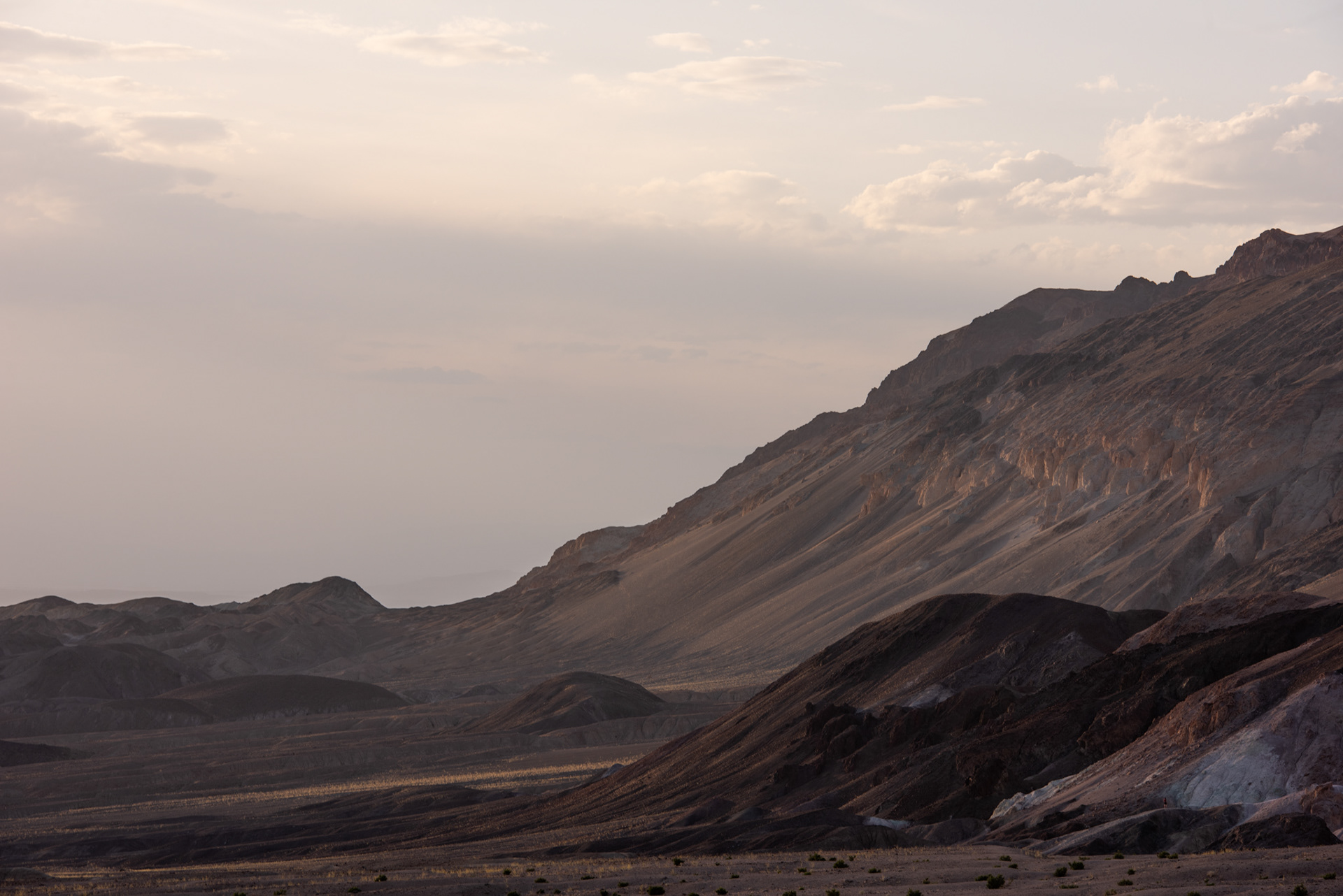
Looking across the badlands of Death Valley from Dante's View

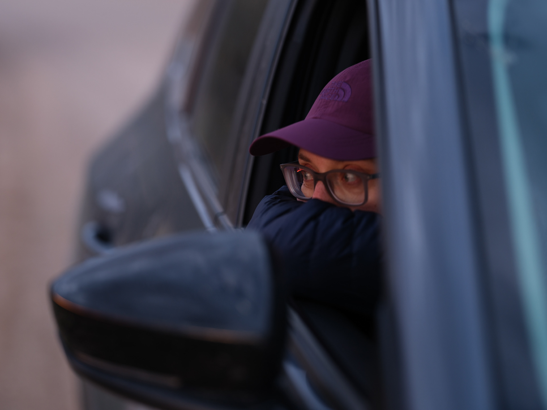
Logan, eating her hard-boiled egg in the otherwise empty trailhead parking lot
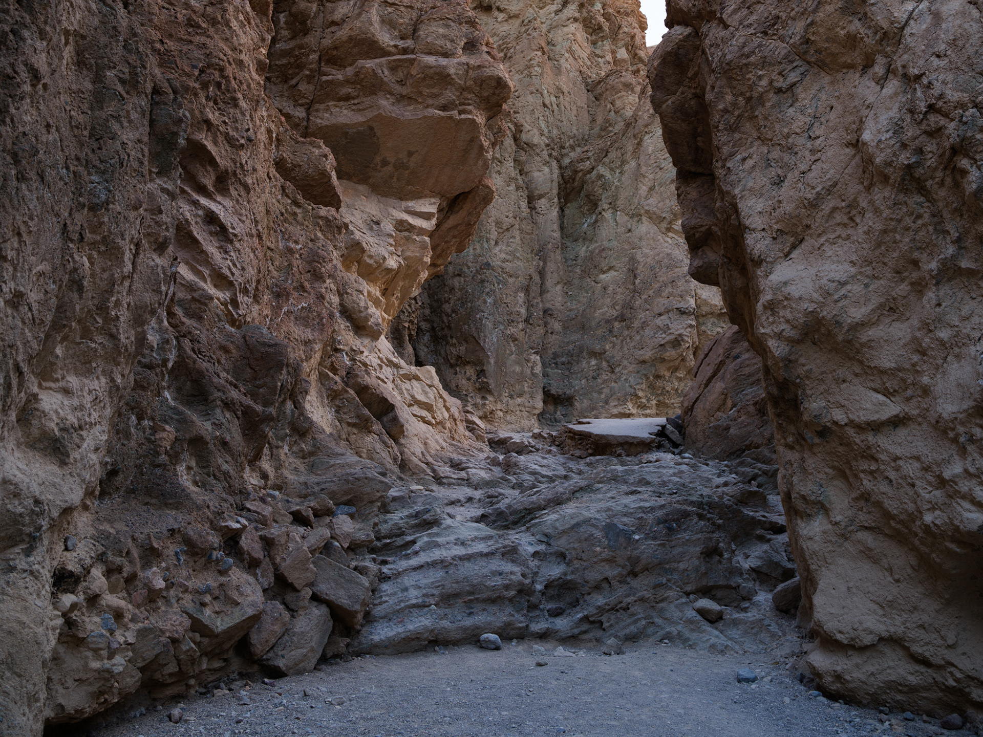
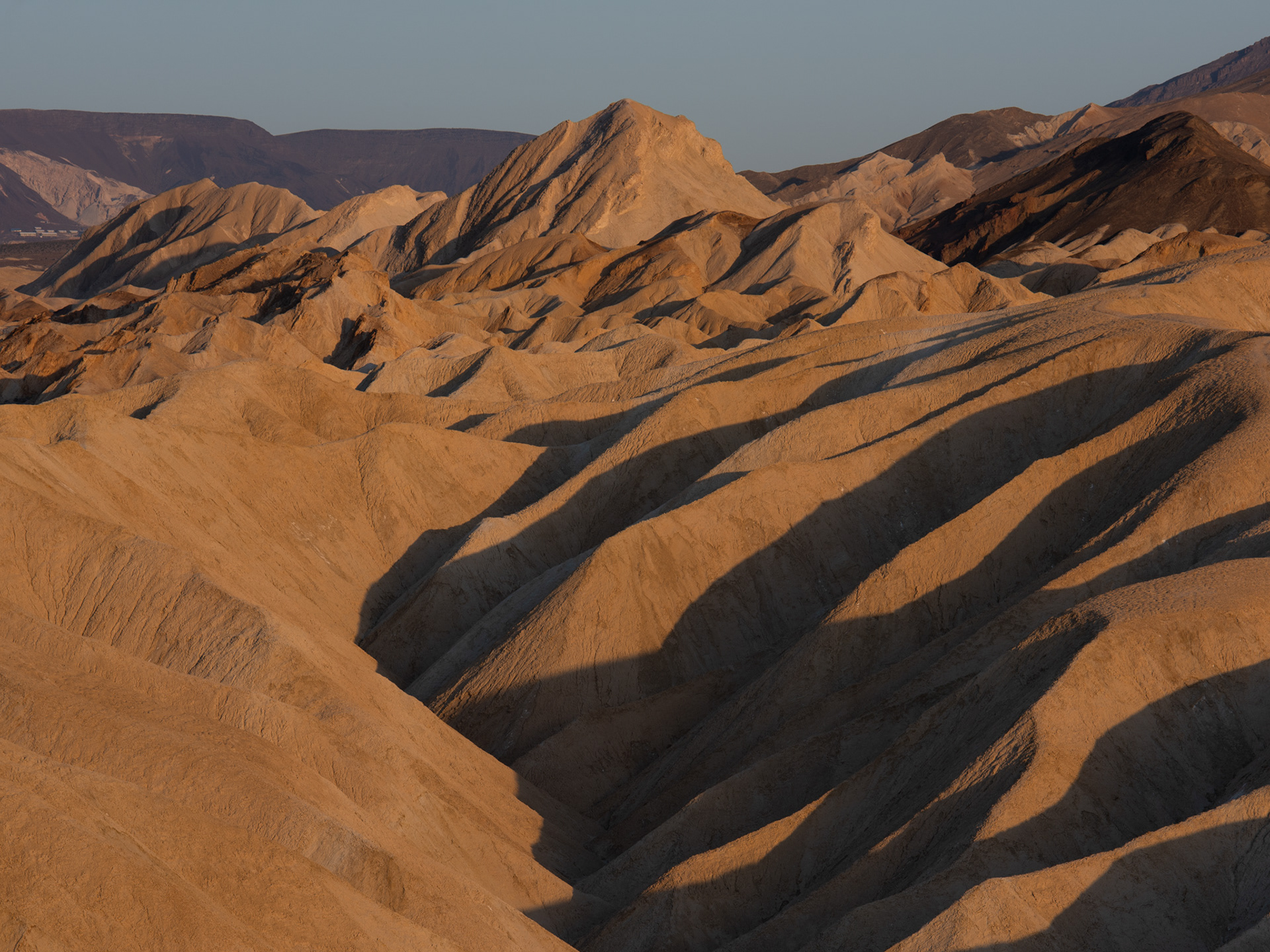
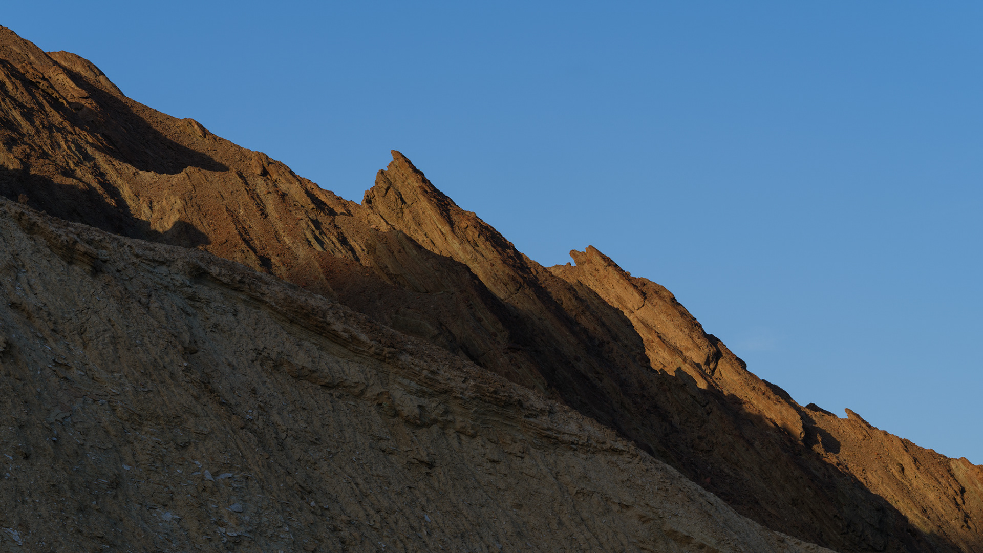
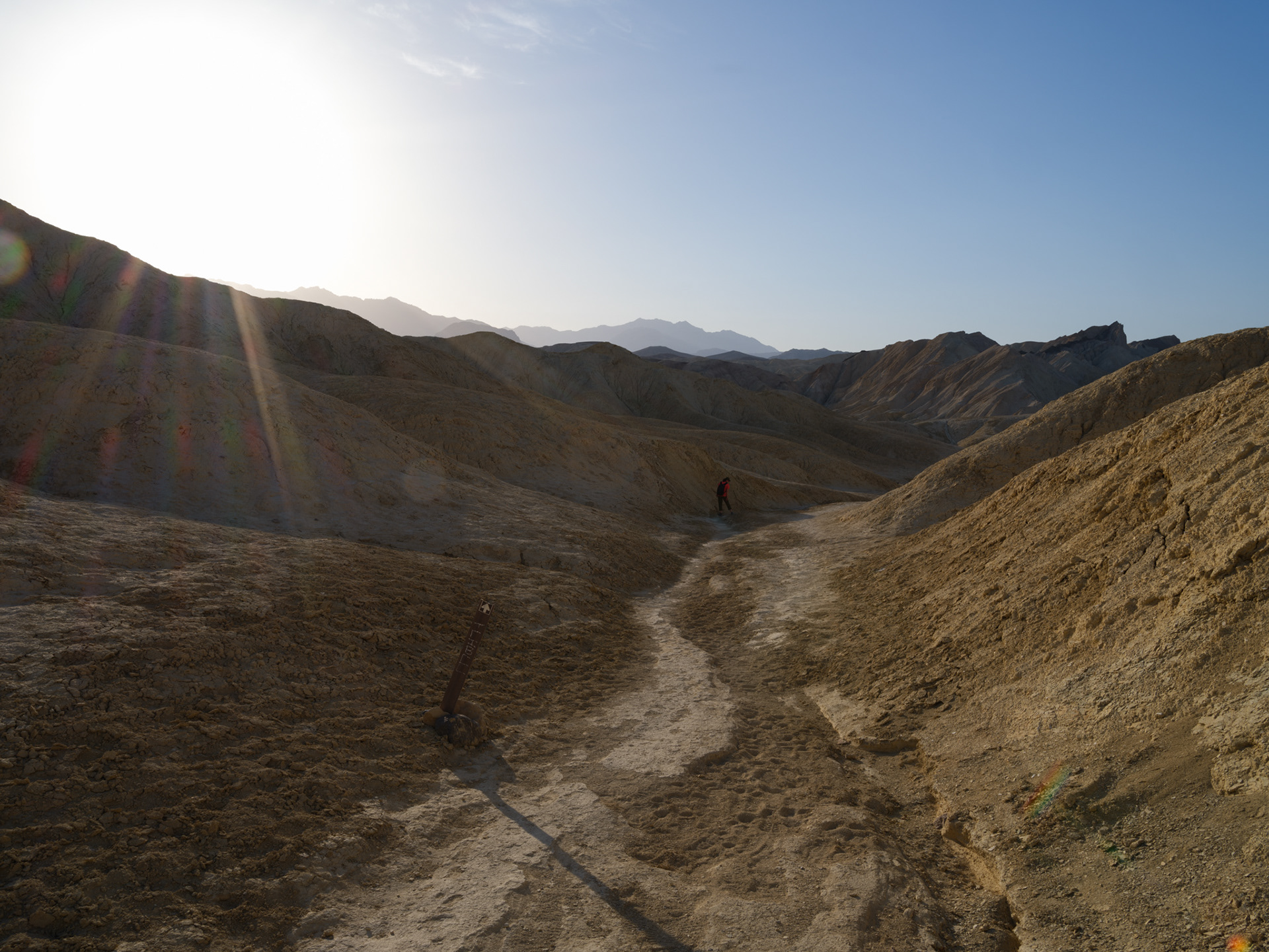
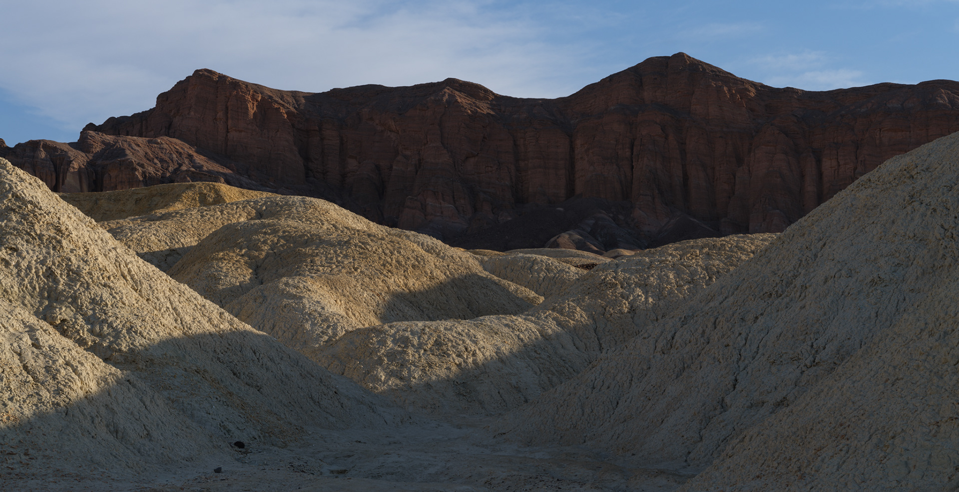
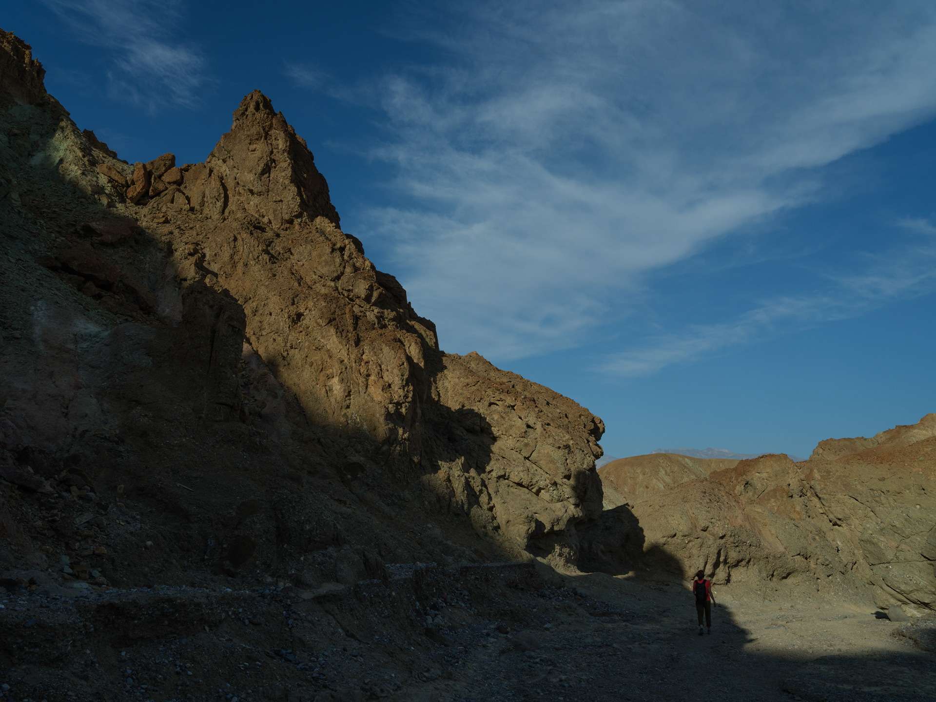
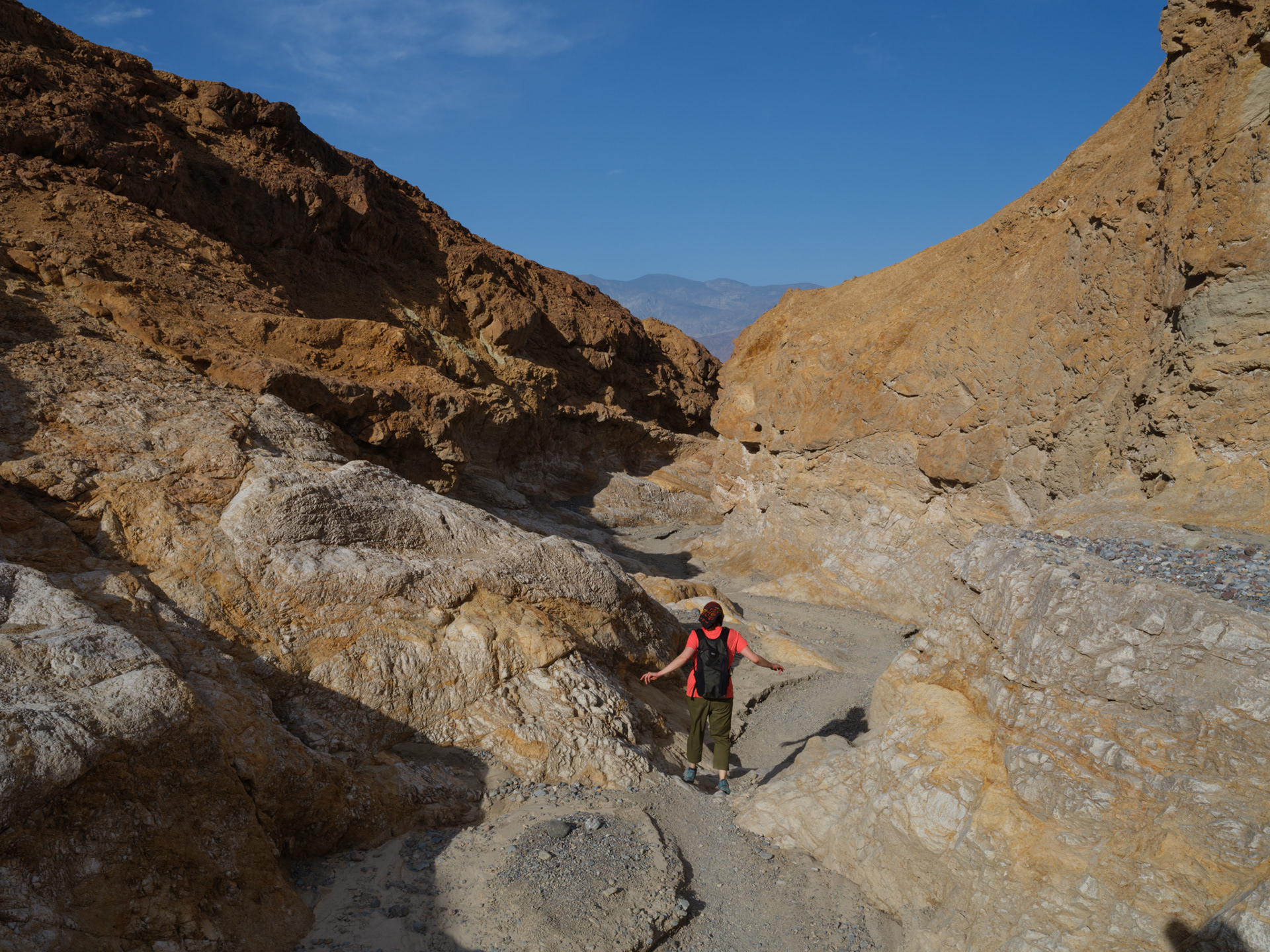
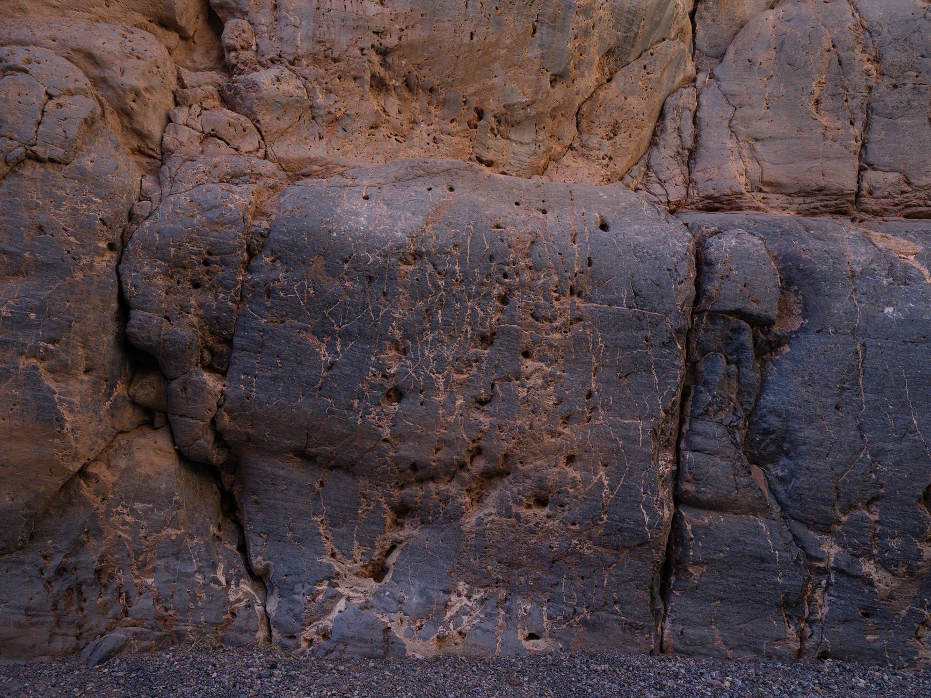
Early morning light begins to warm the canyon walls.


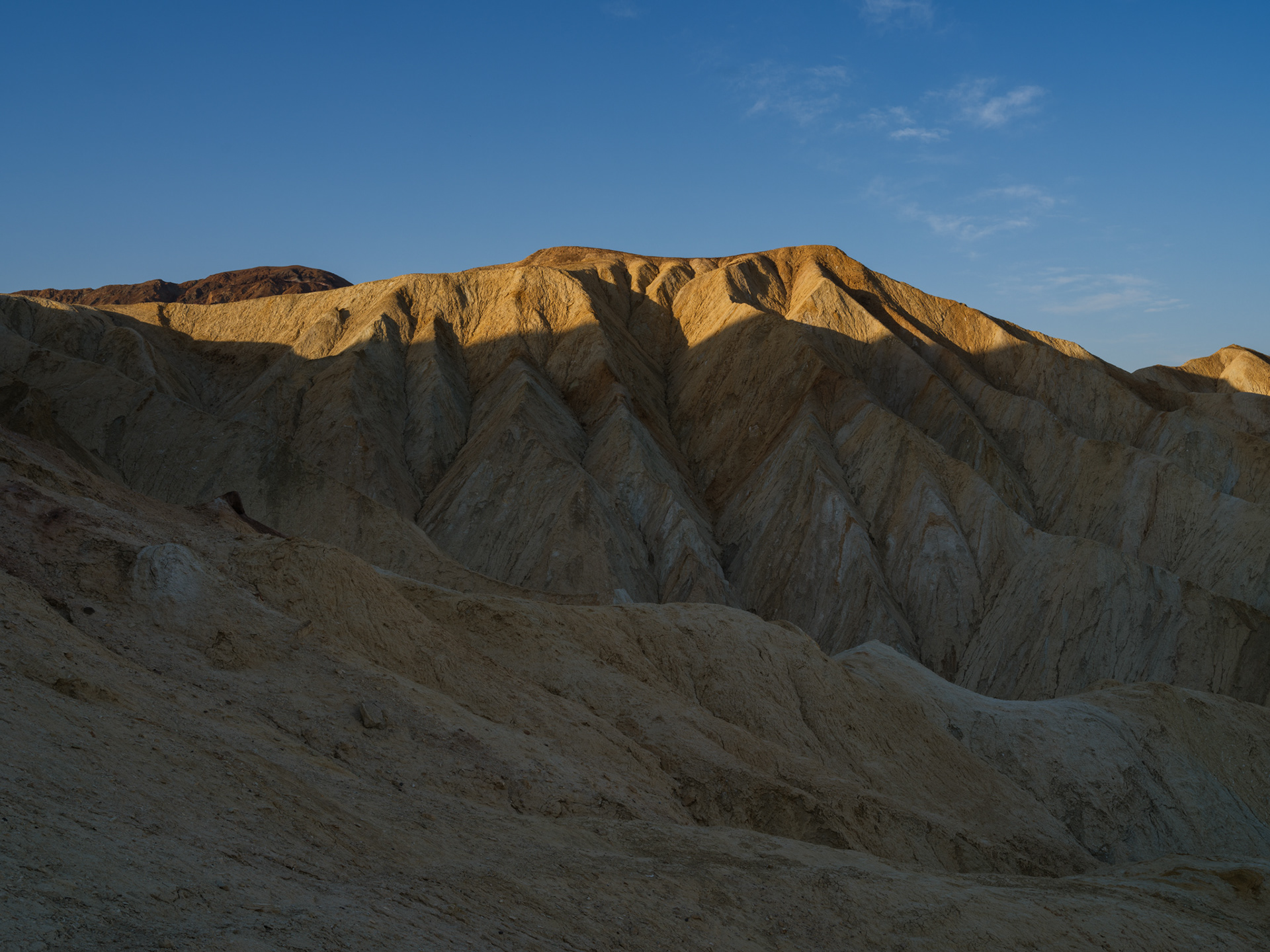
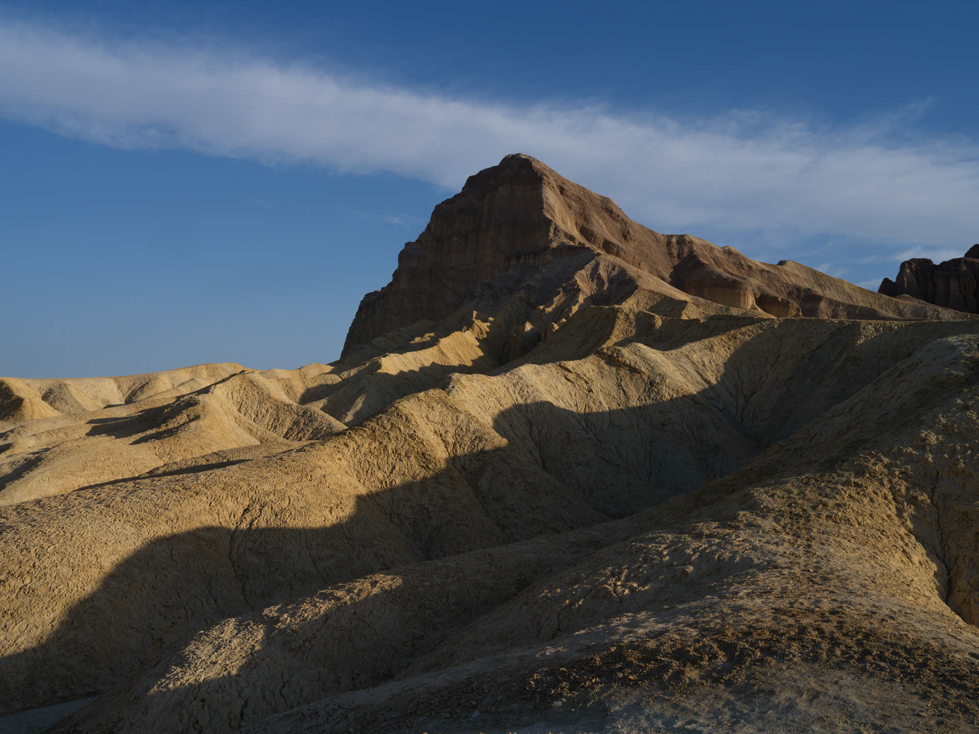
Manly Beacon after crossing onto its northwestern flank.
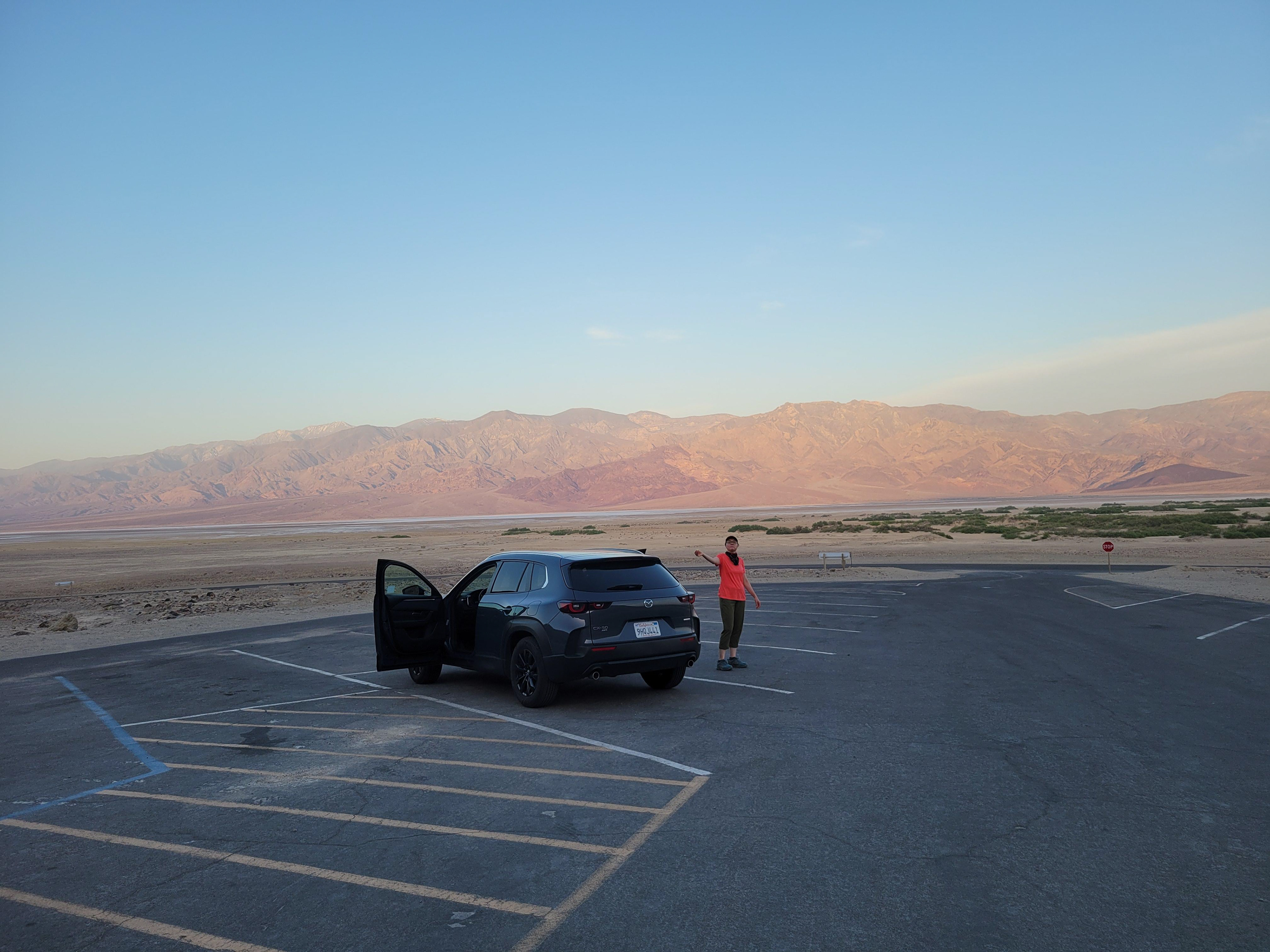
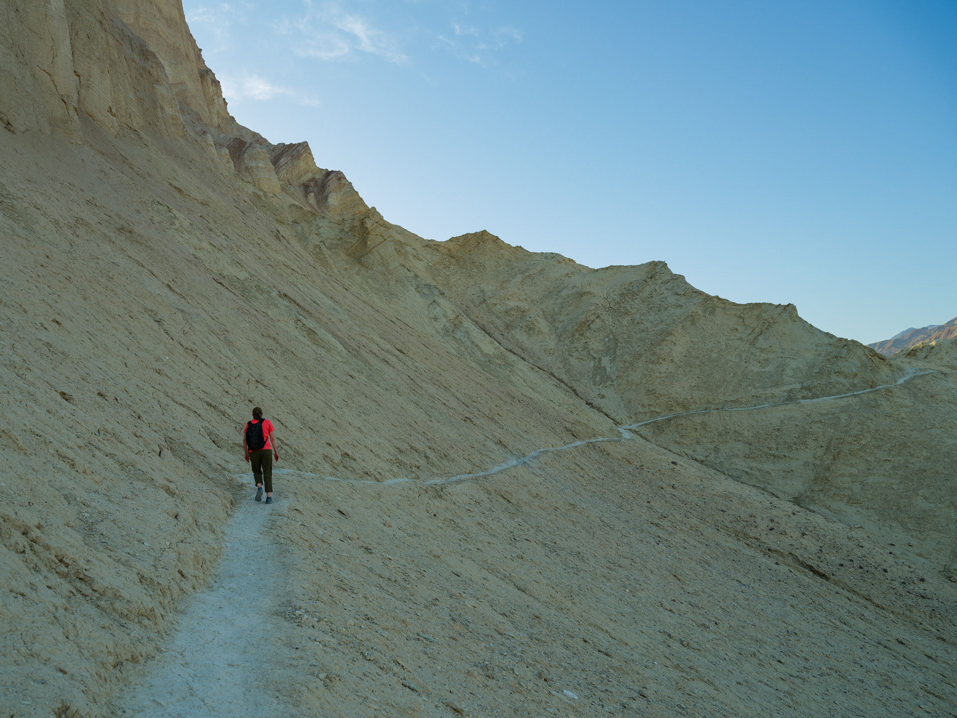
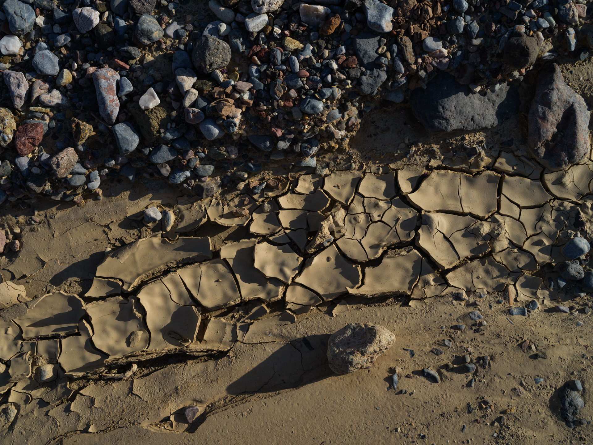
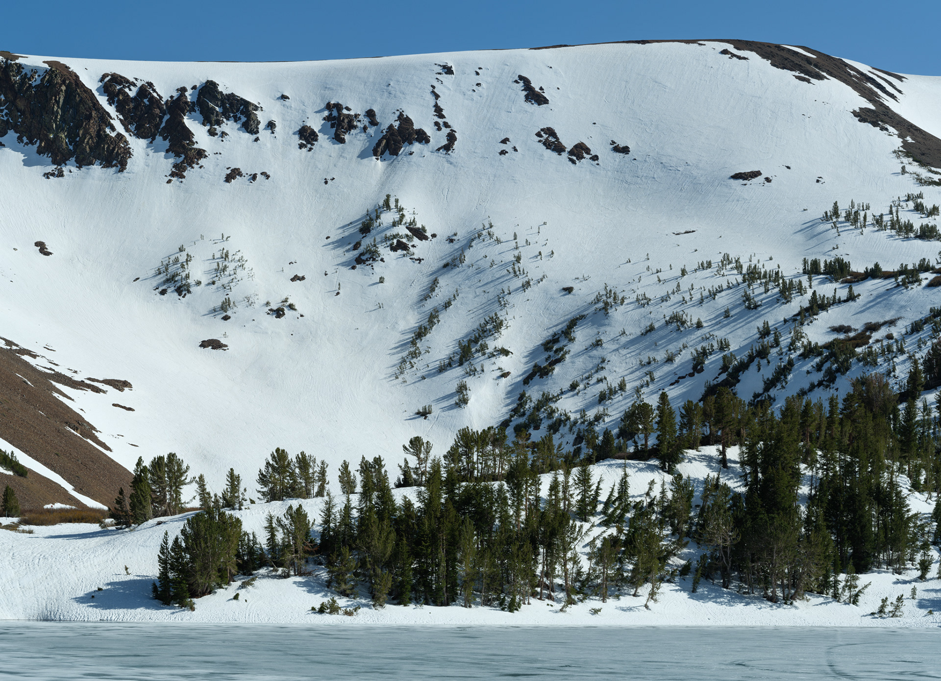
Few places to hide from the sun
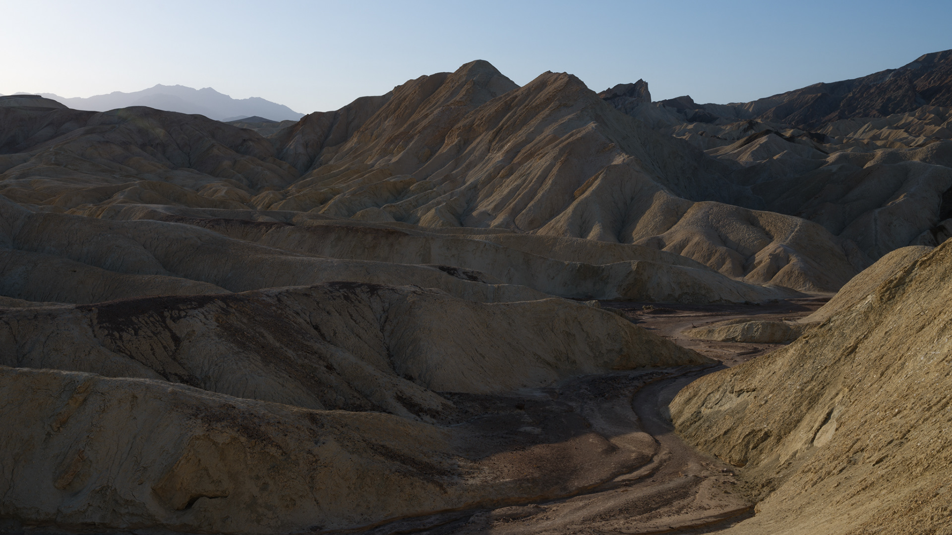

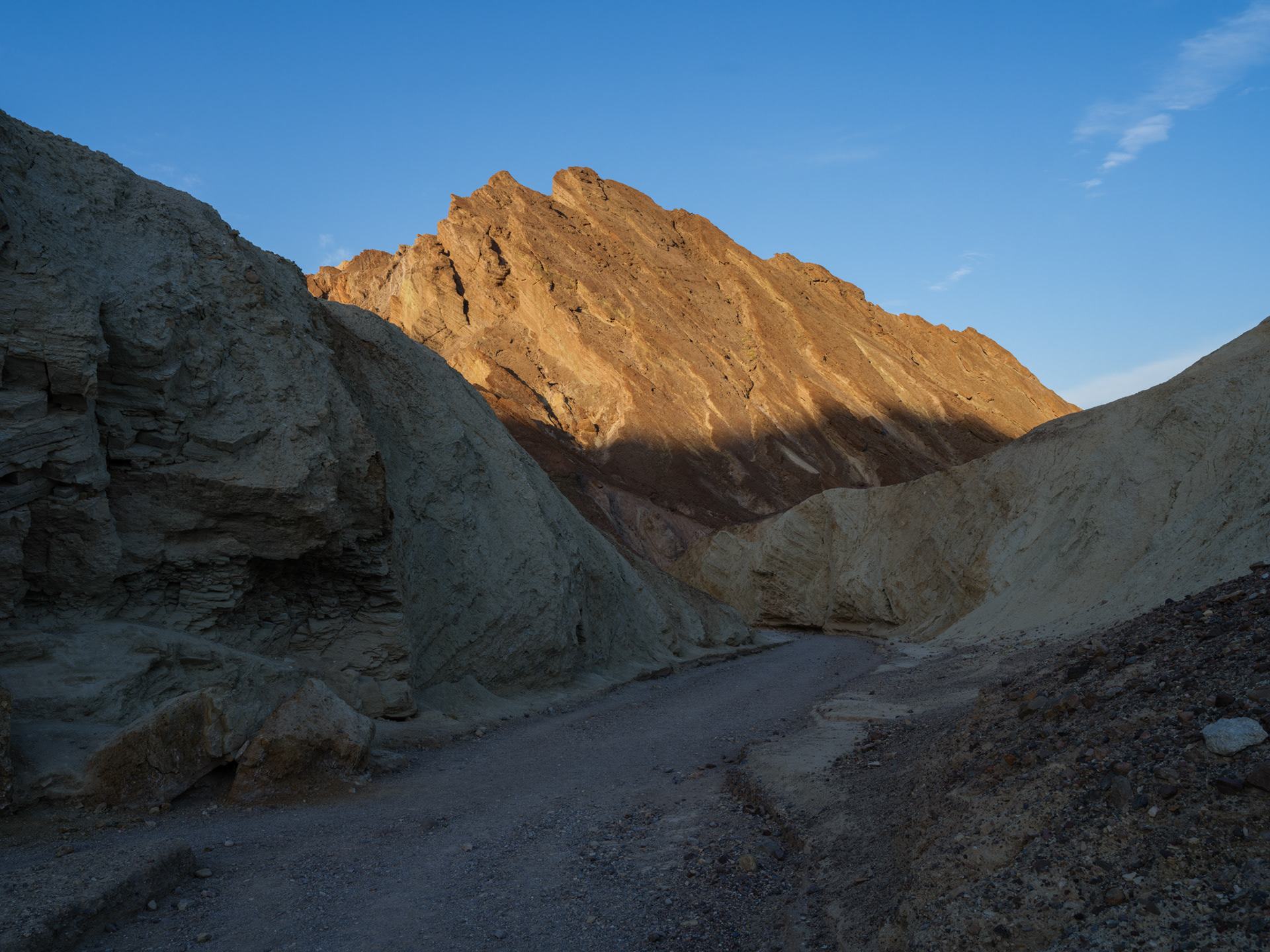
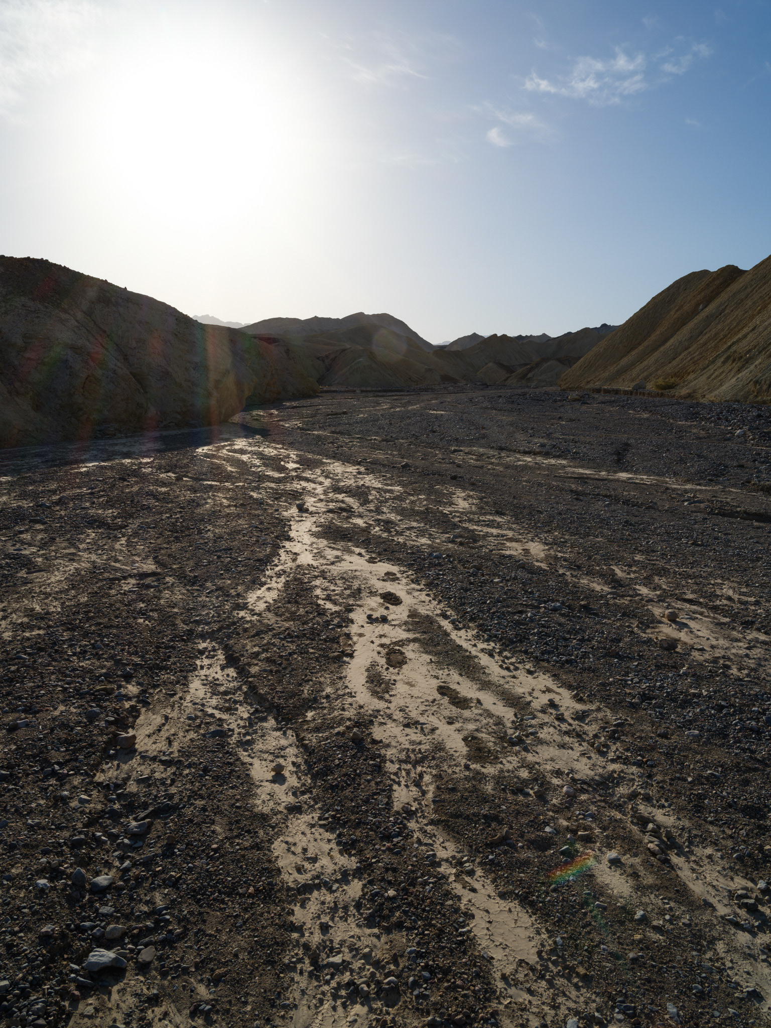
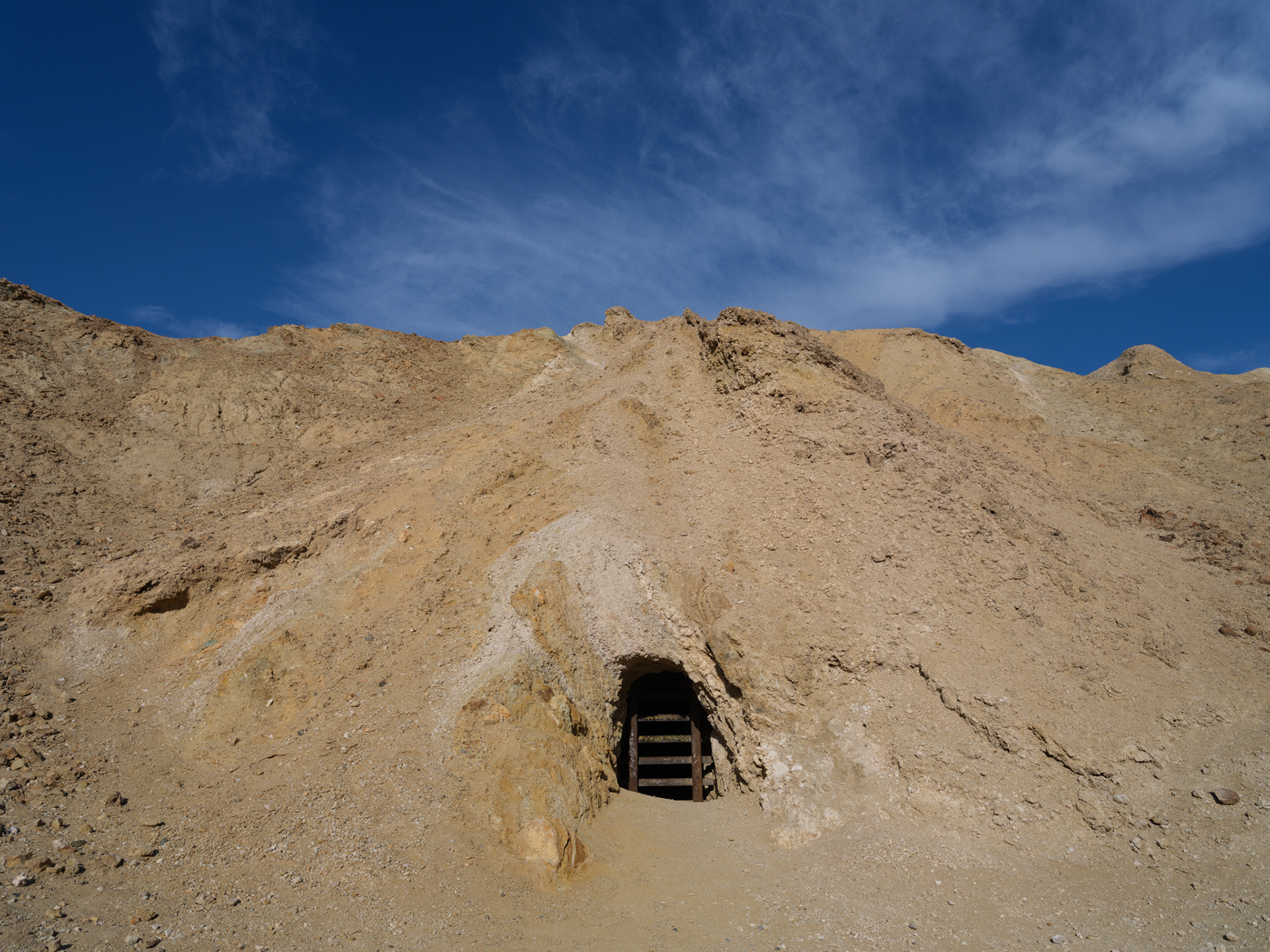
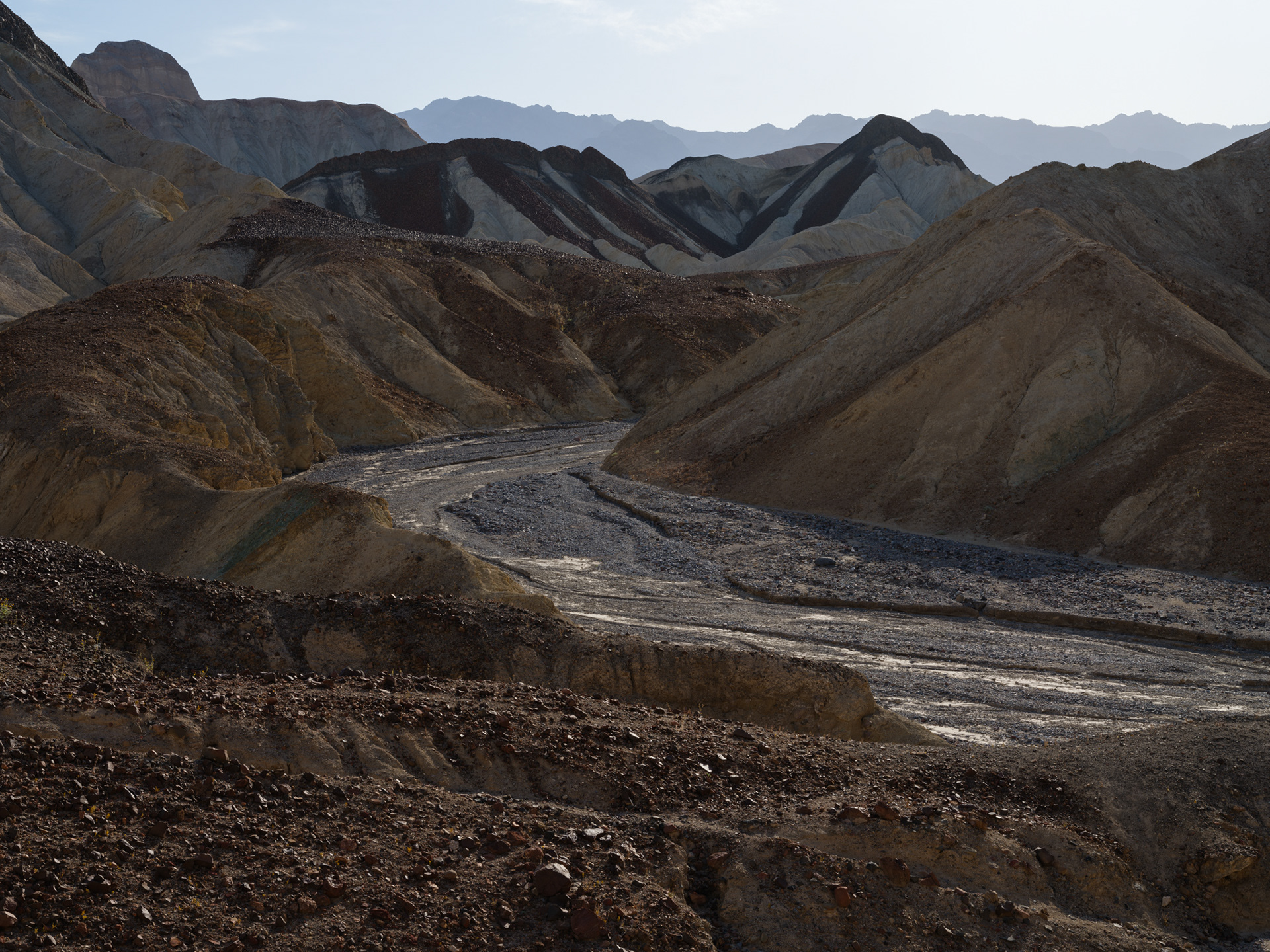
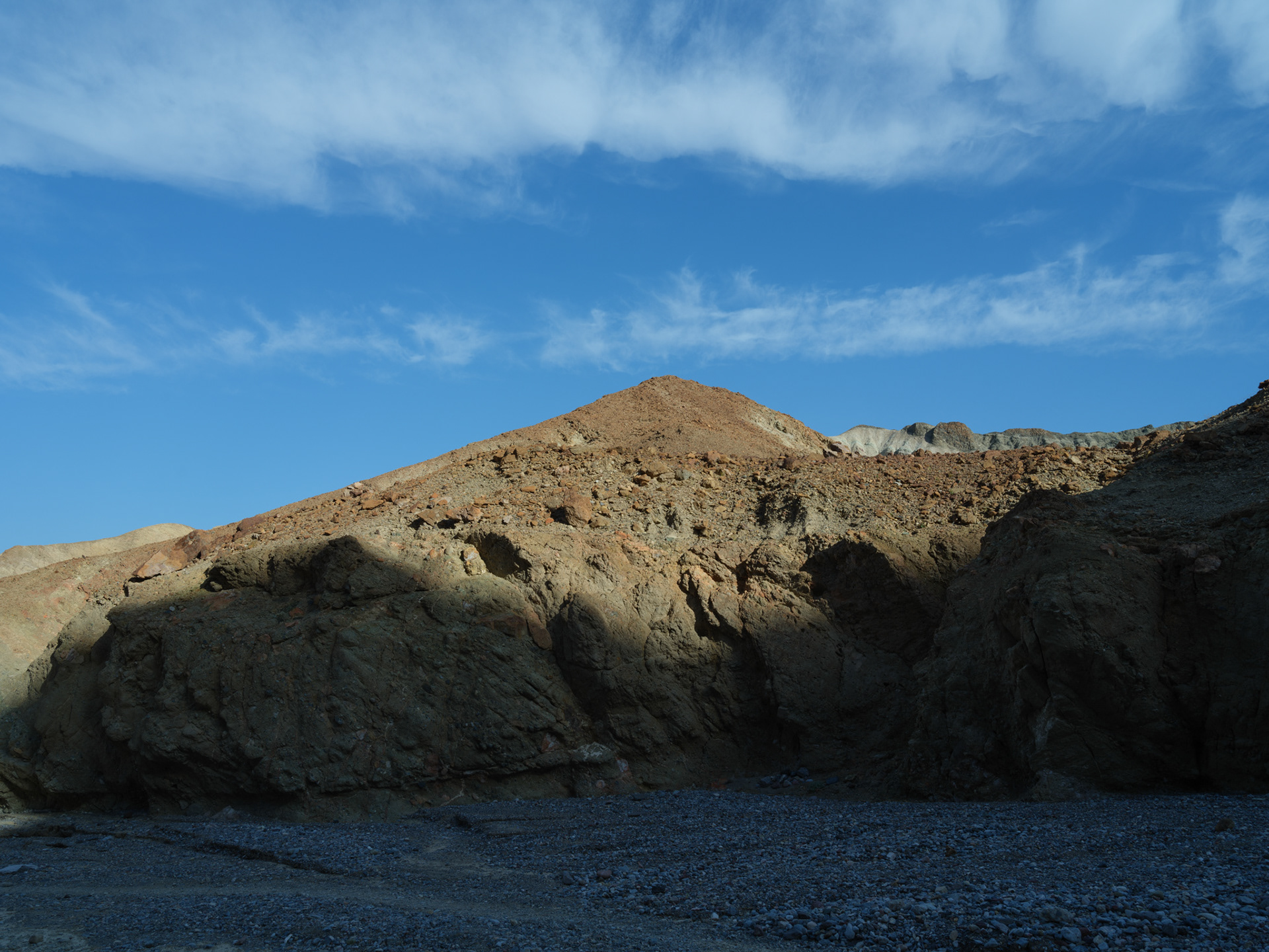
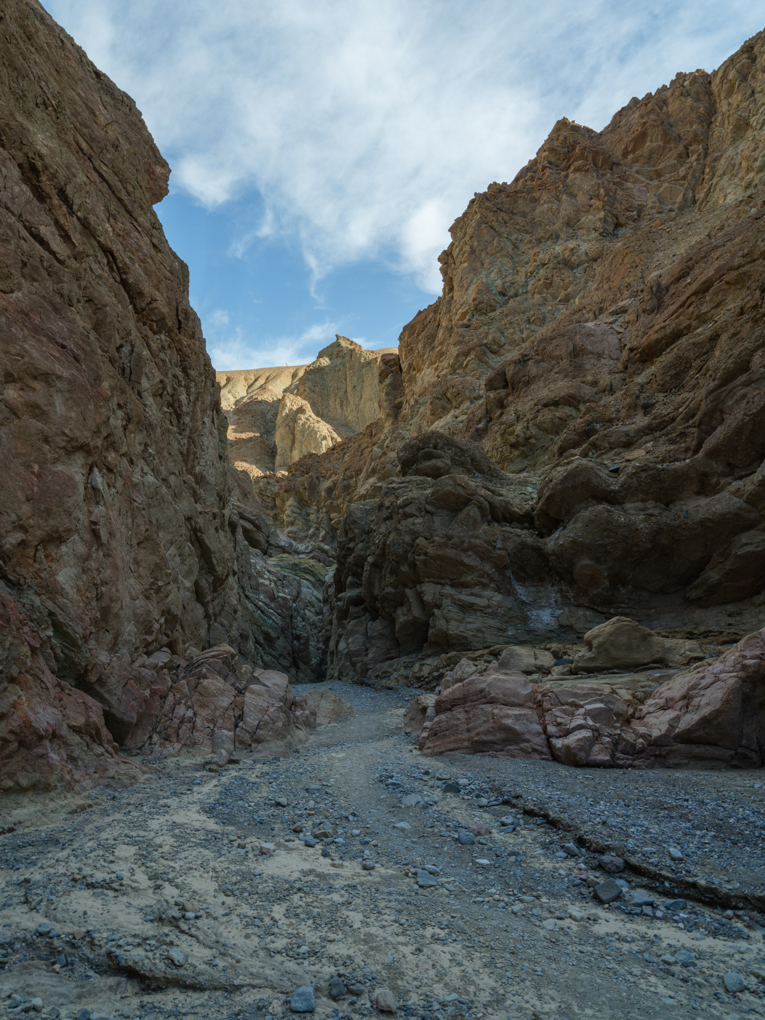
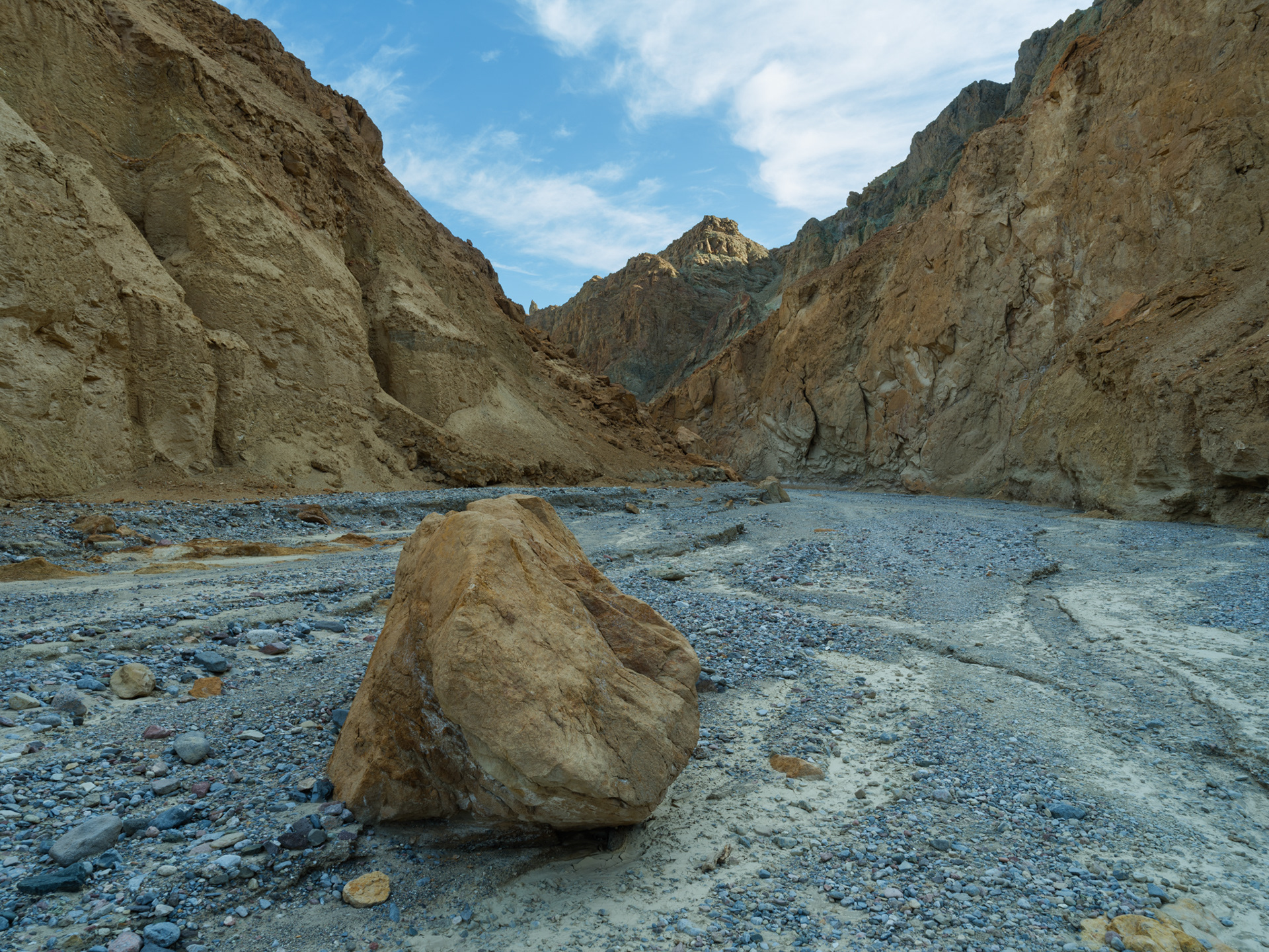
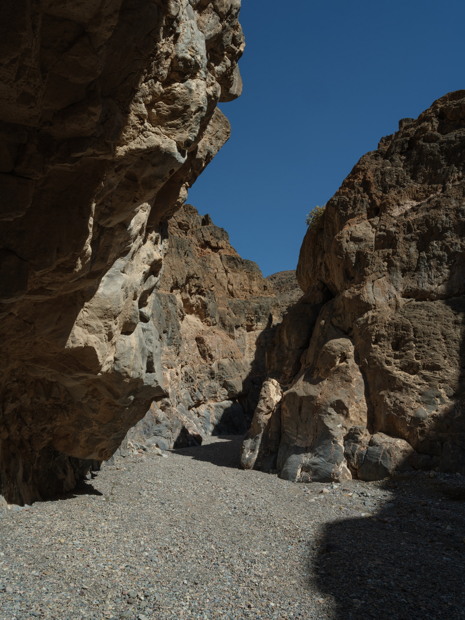
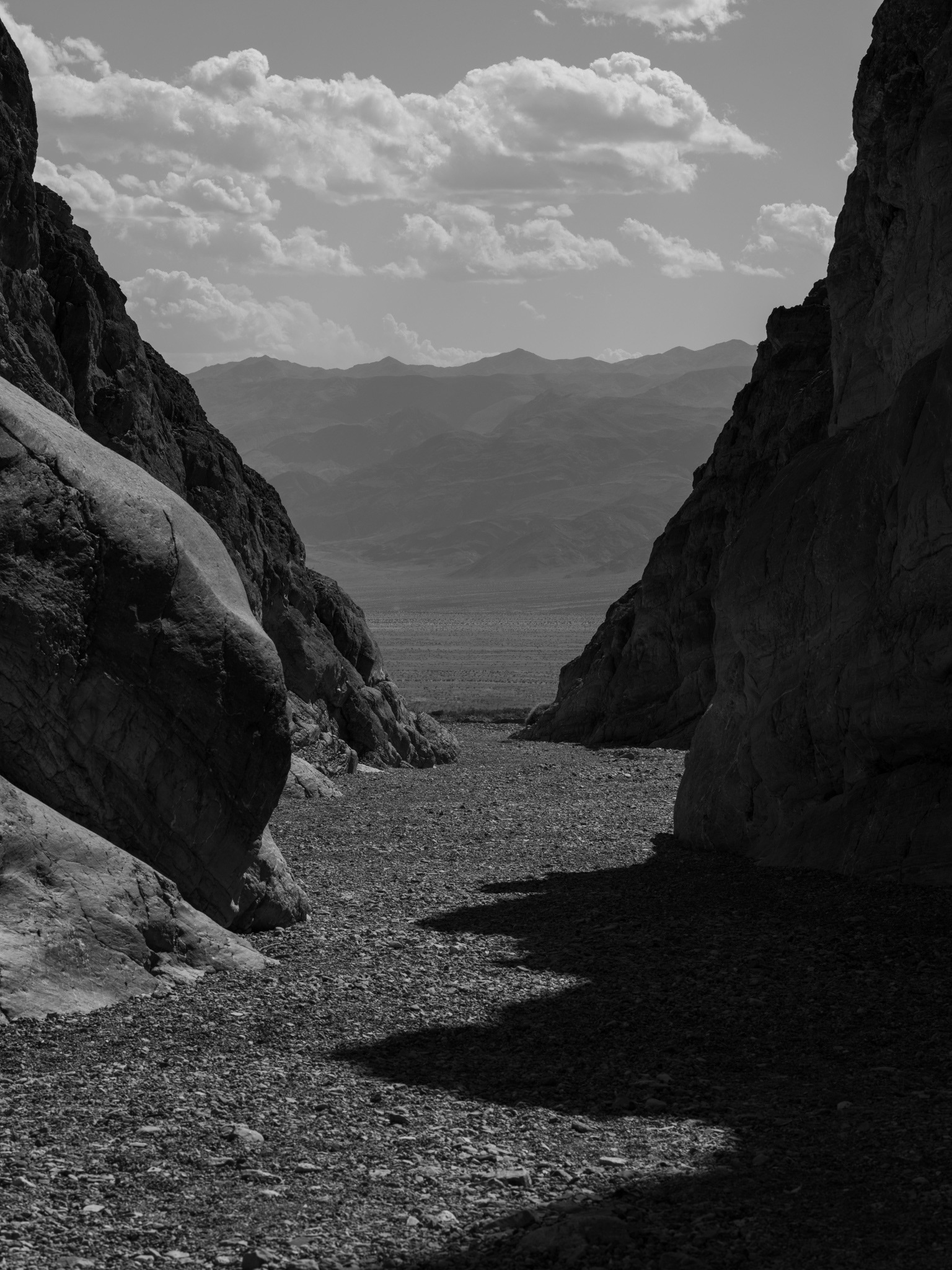
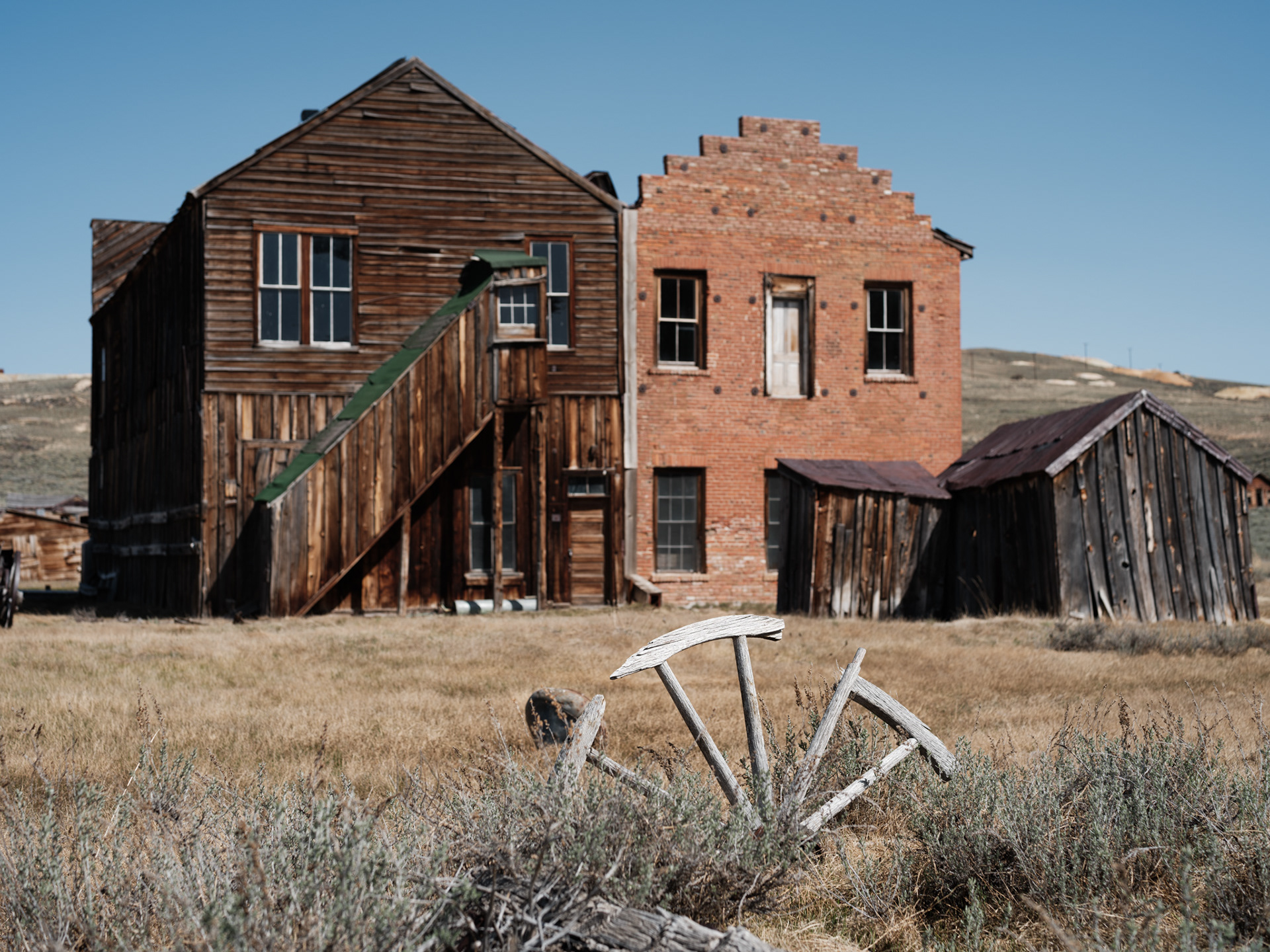
Gower Gulch


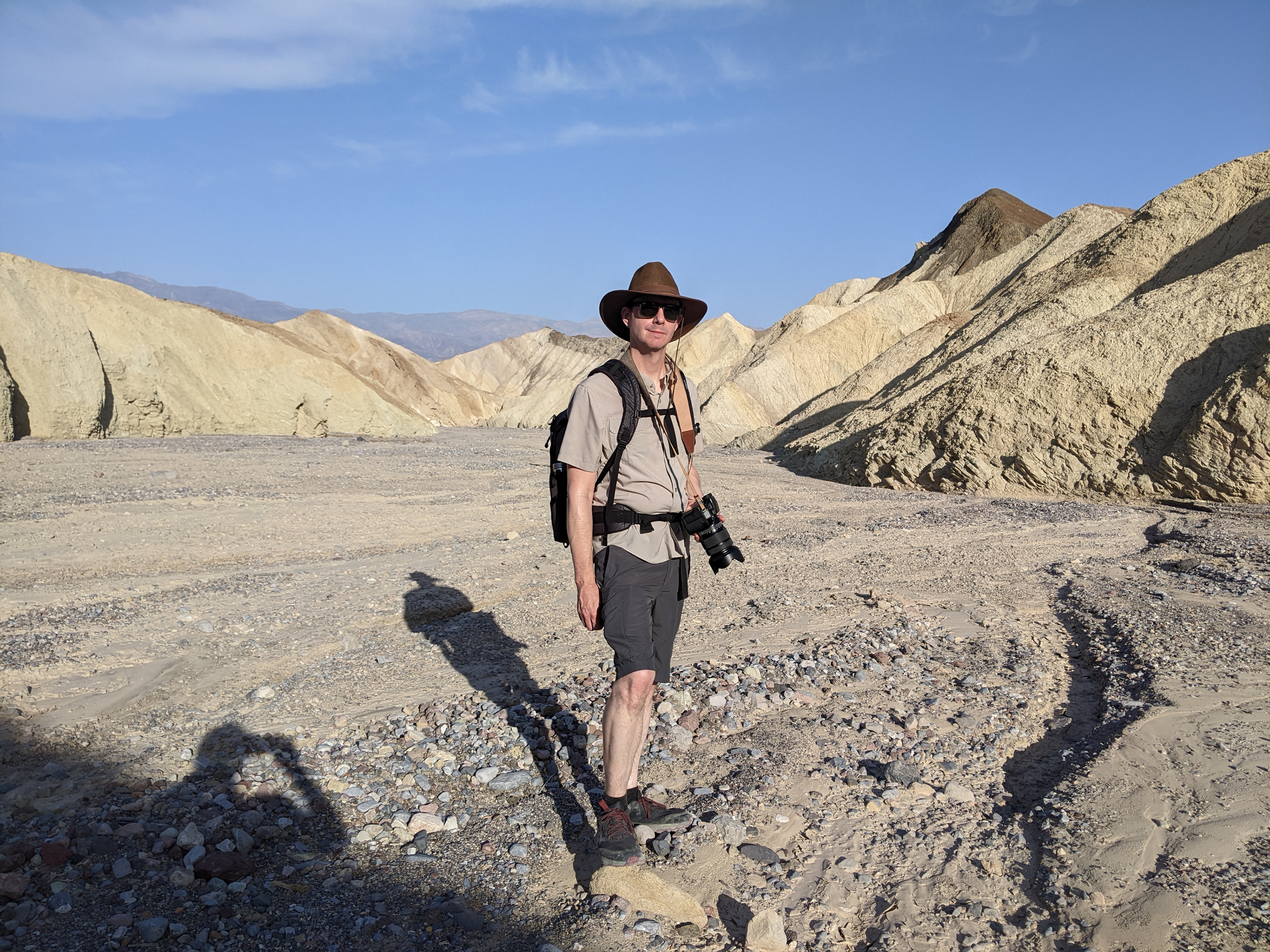
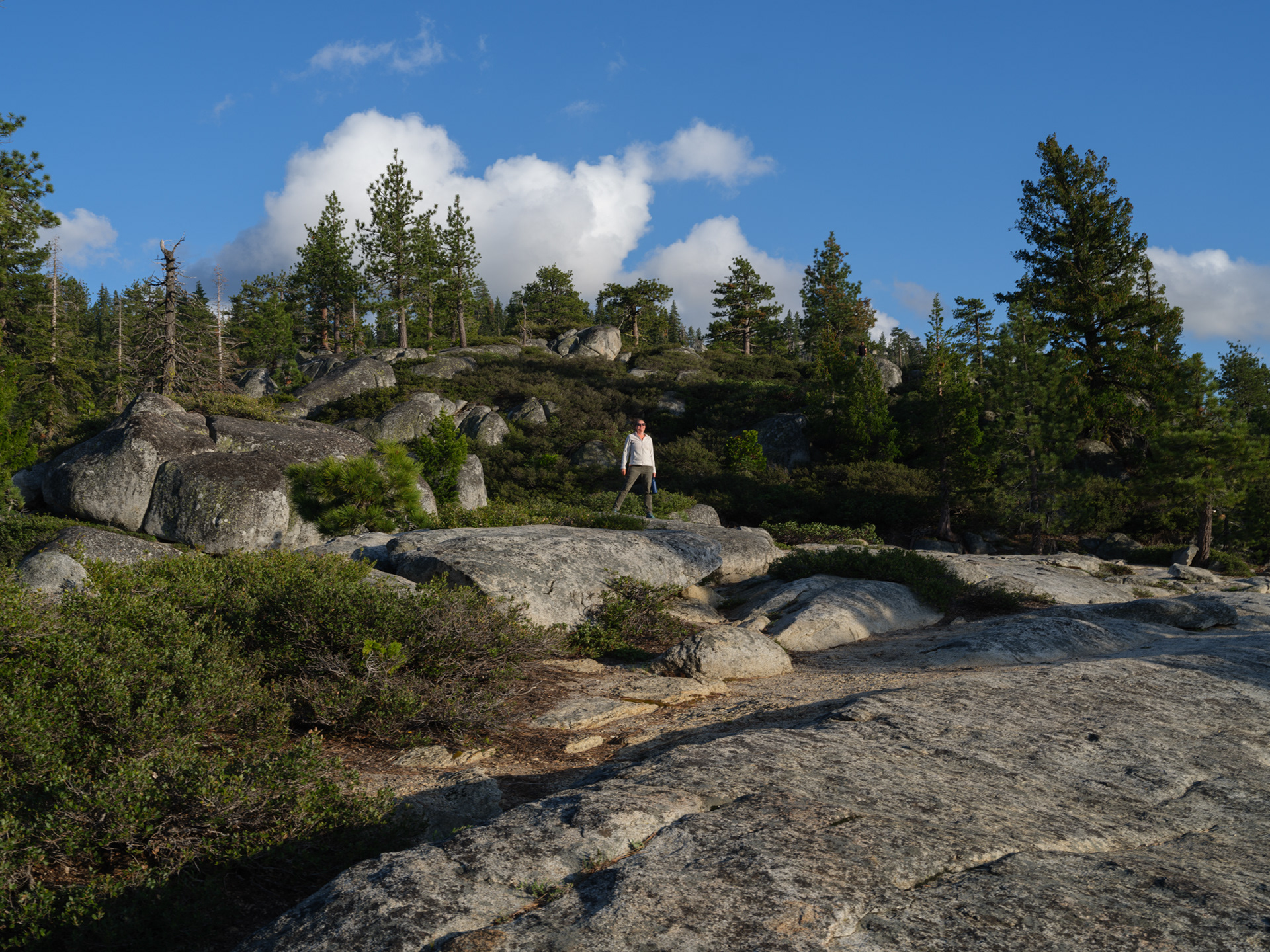
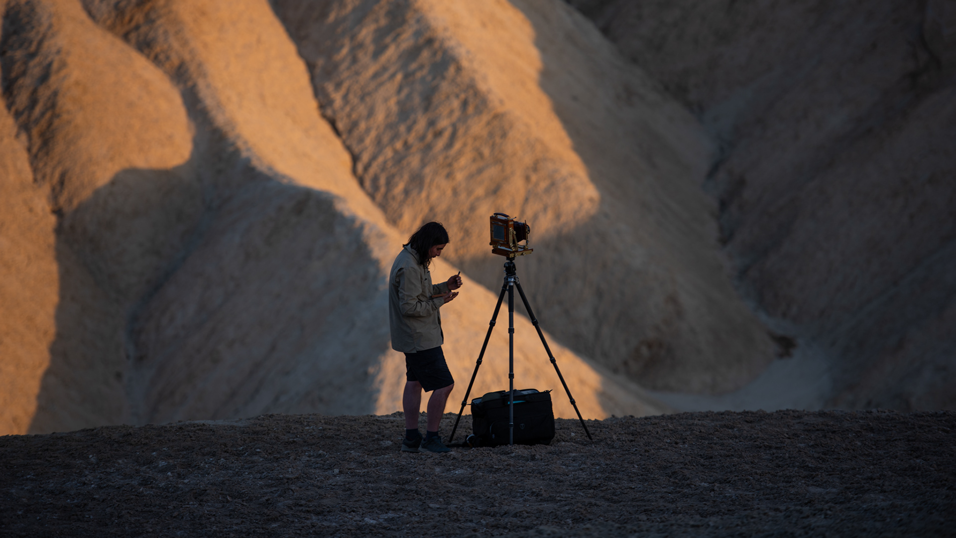
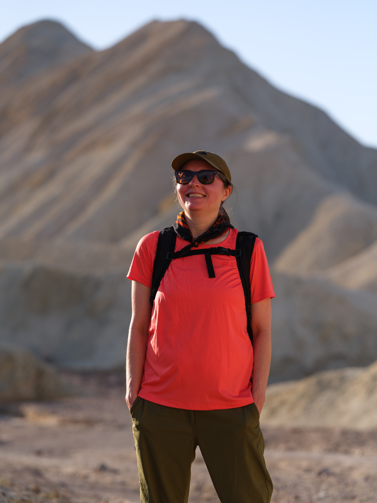
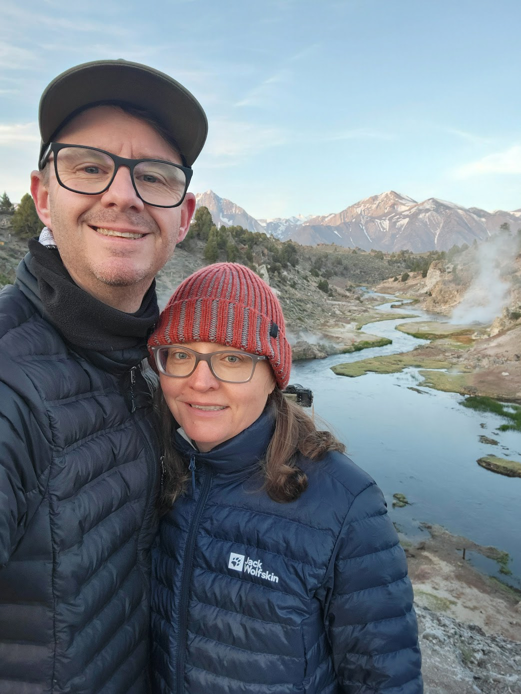
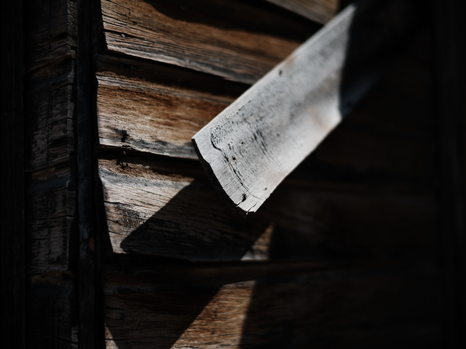
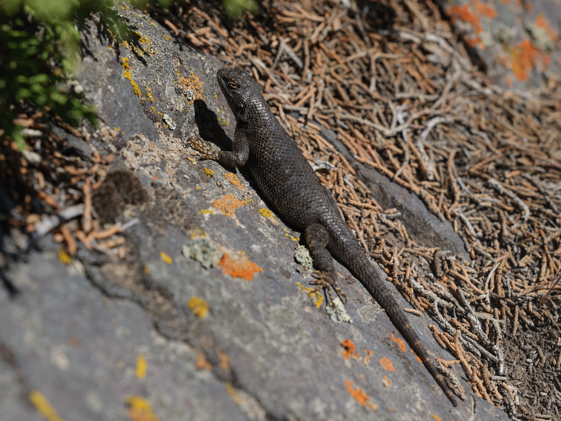
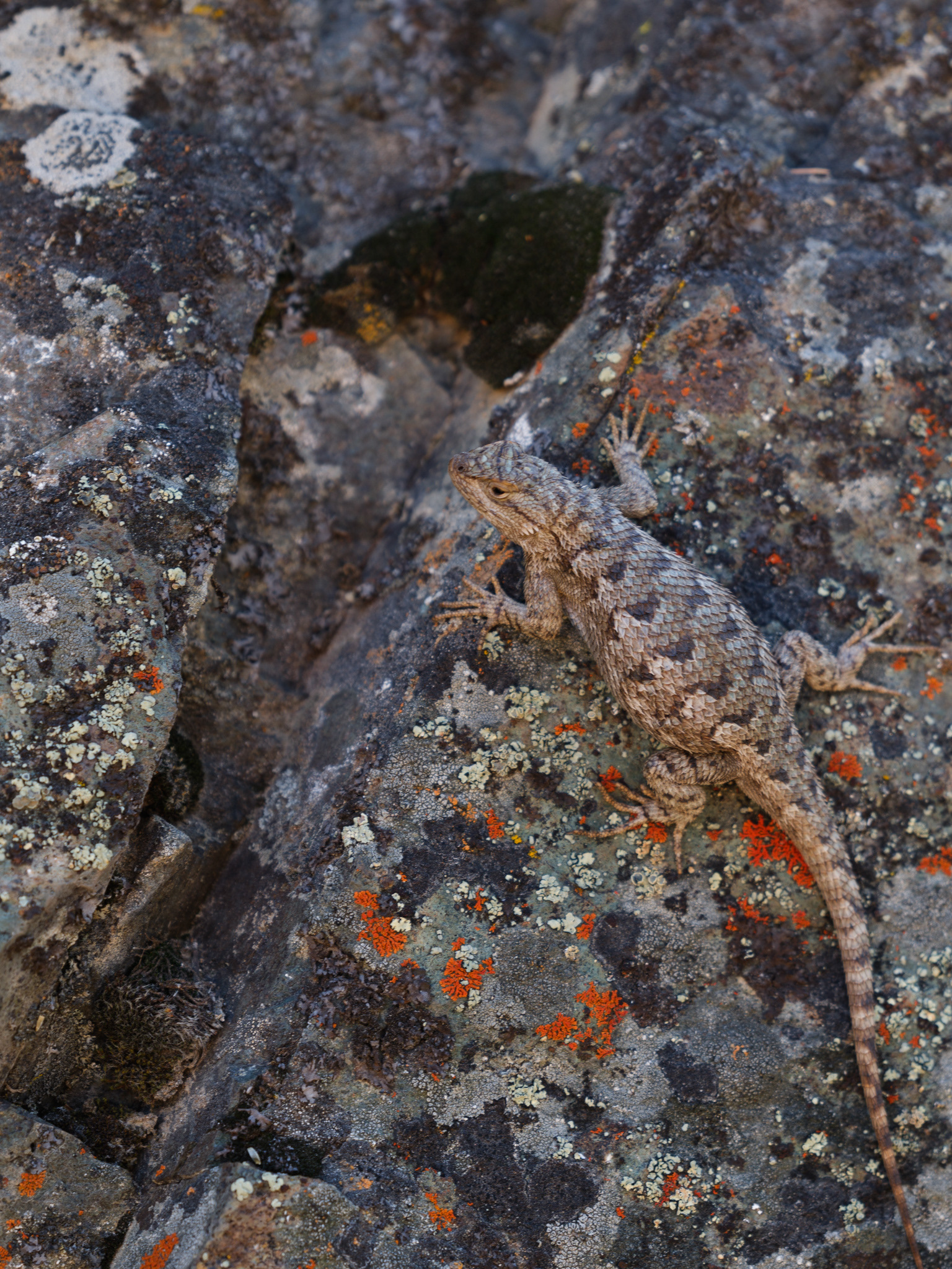
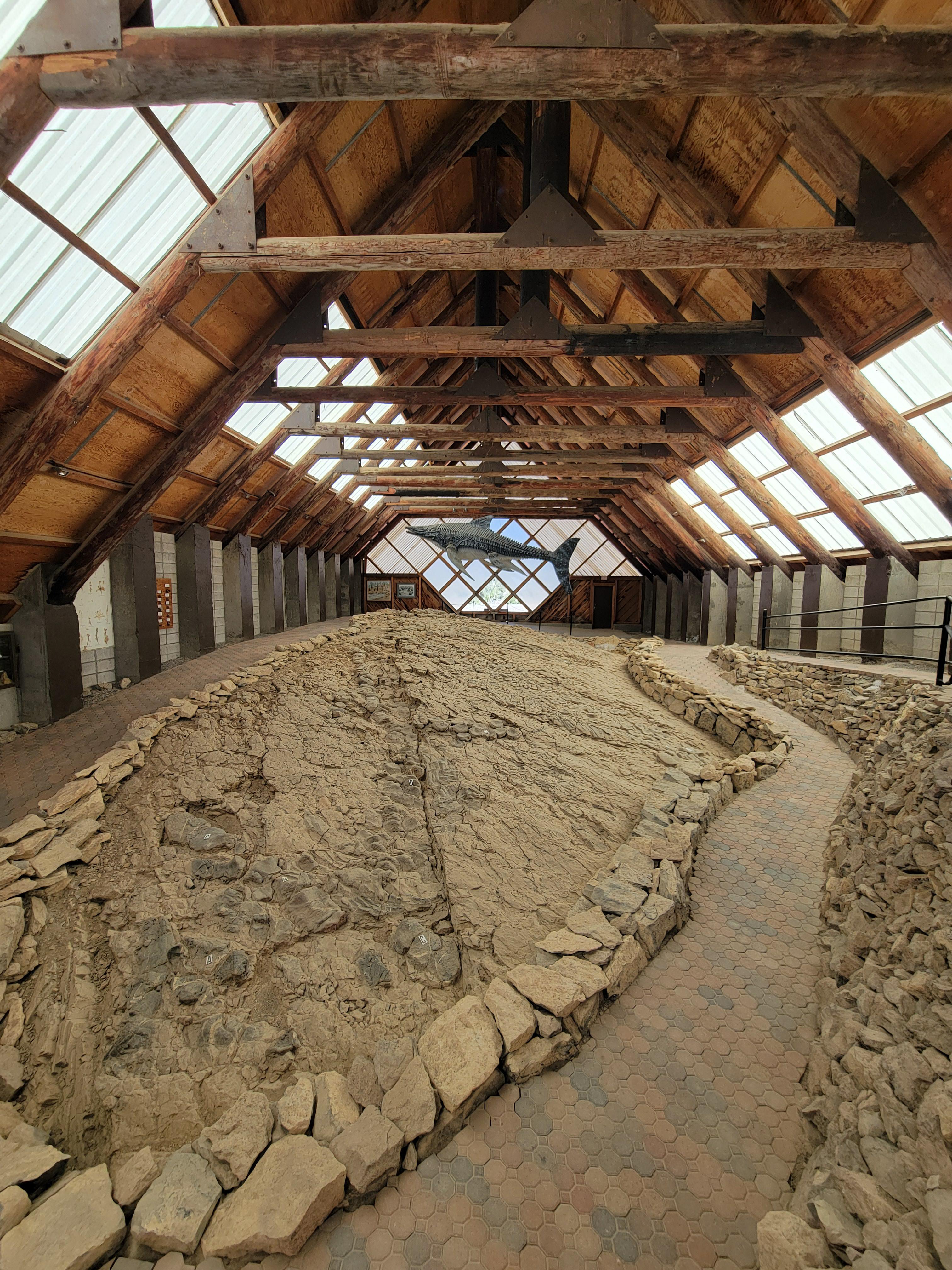
Geeked out
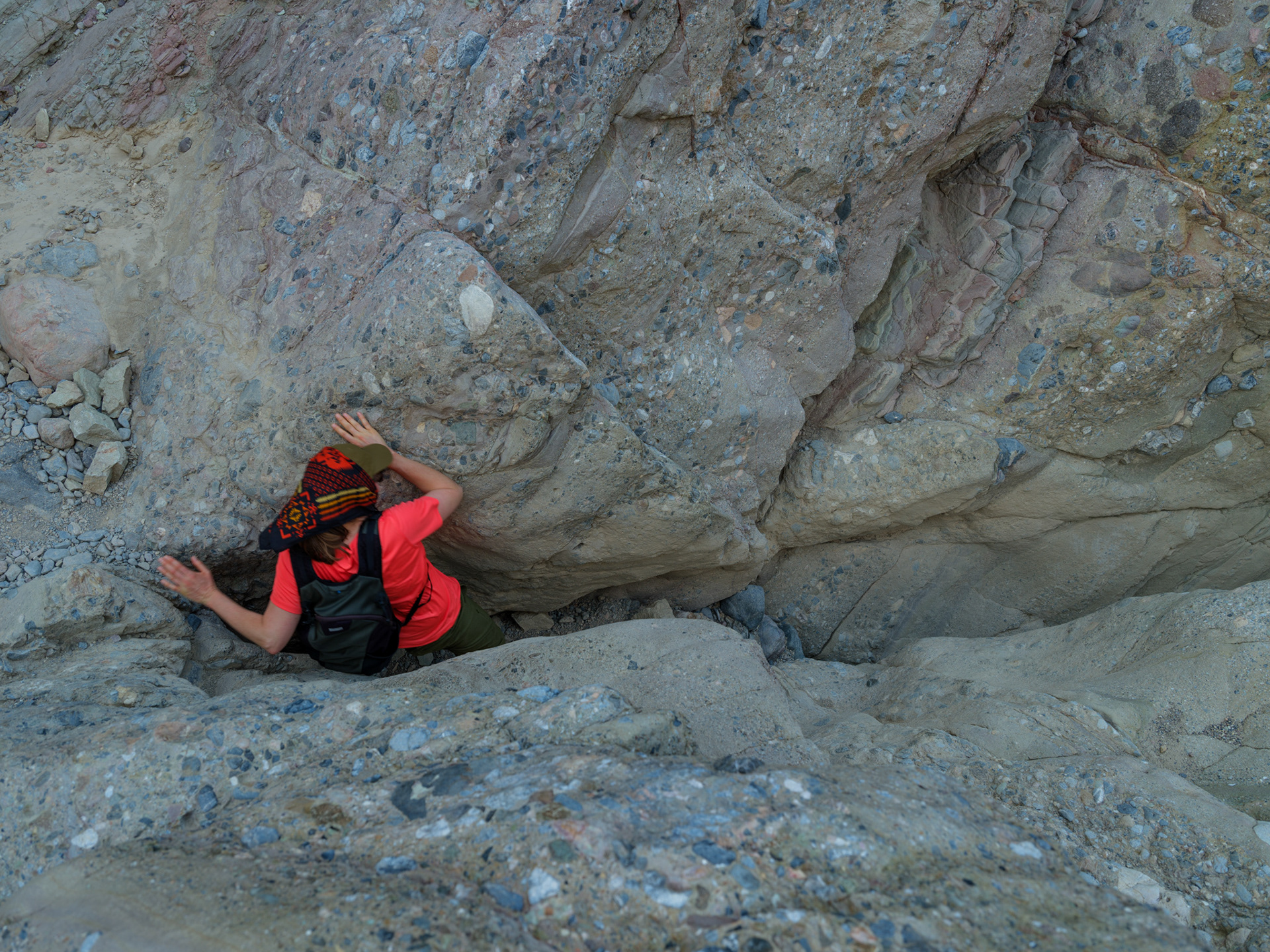

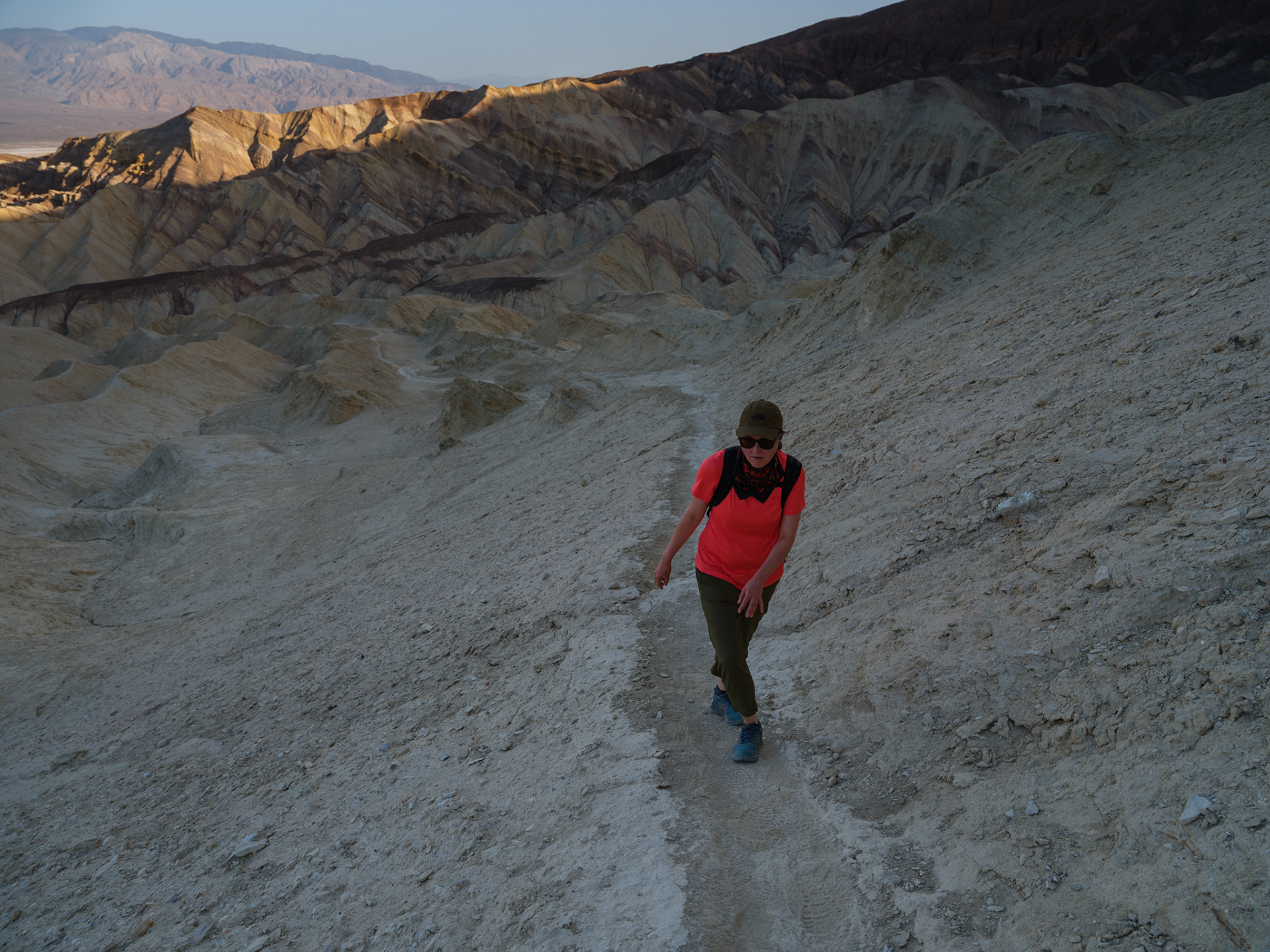
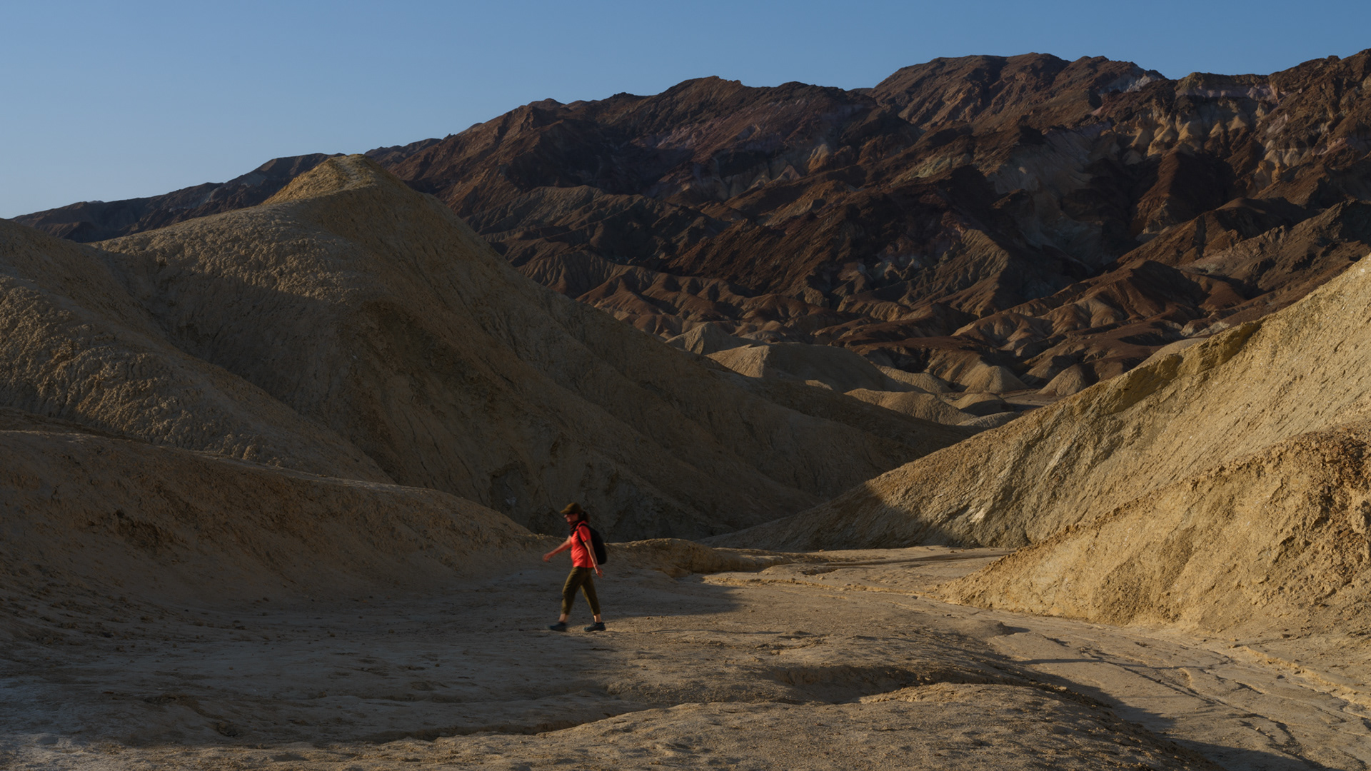
Logan emerging from the shade while my shadow documents the moment from above.
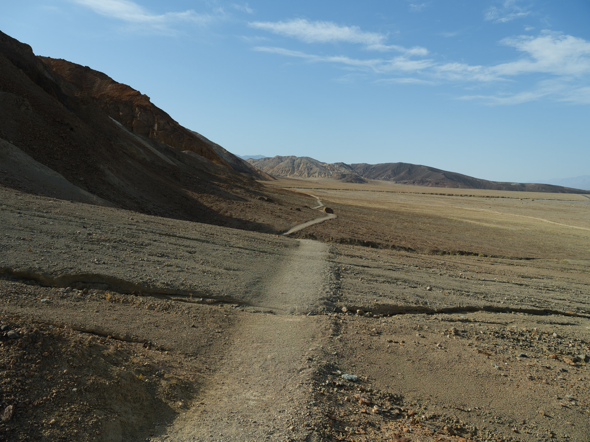
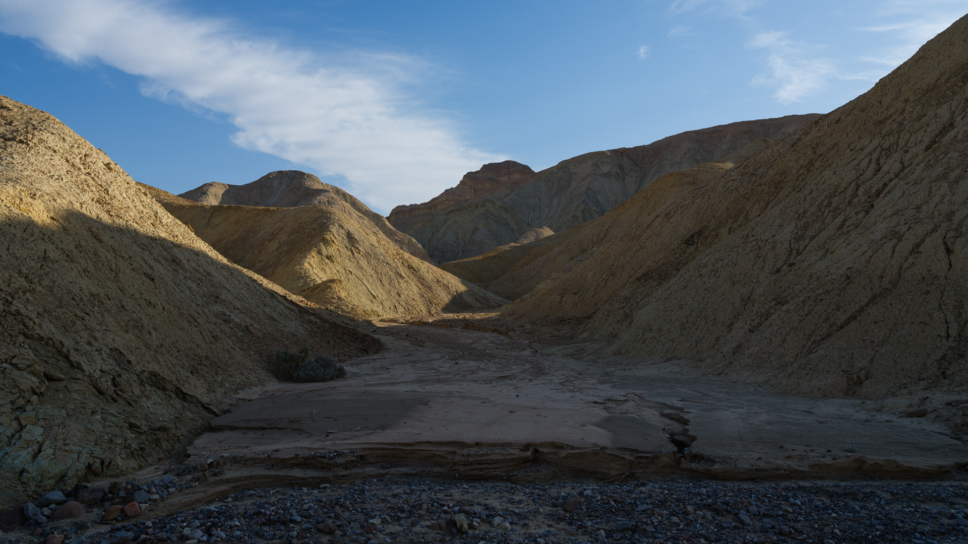
The final stretch follows the valley floor as the temperatures begin climbing in earnest.
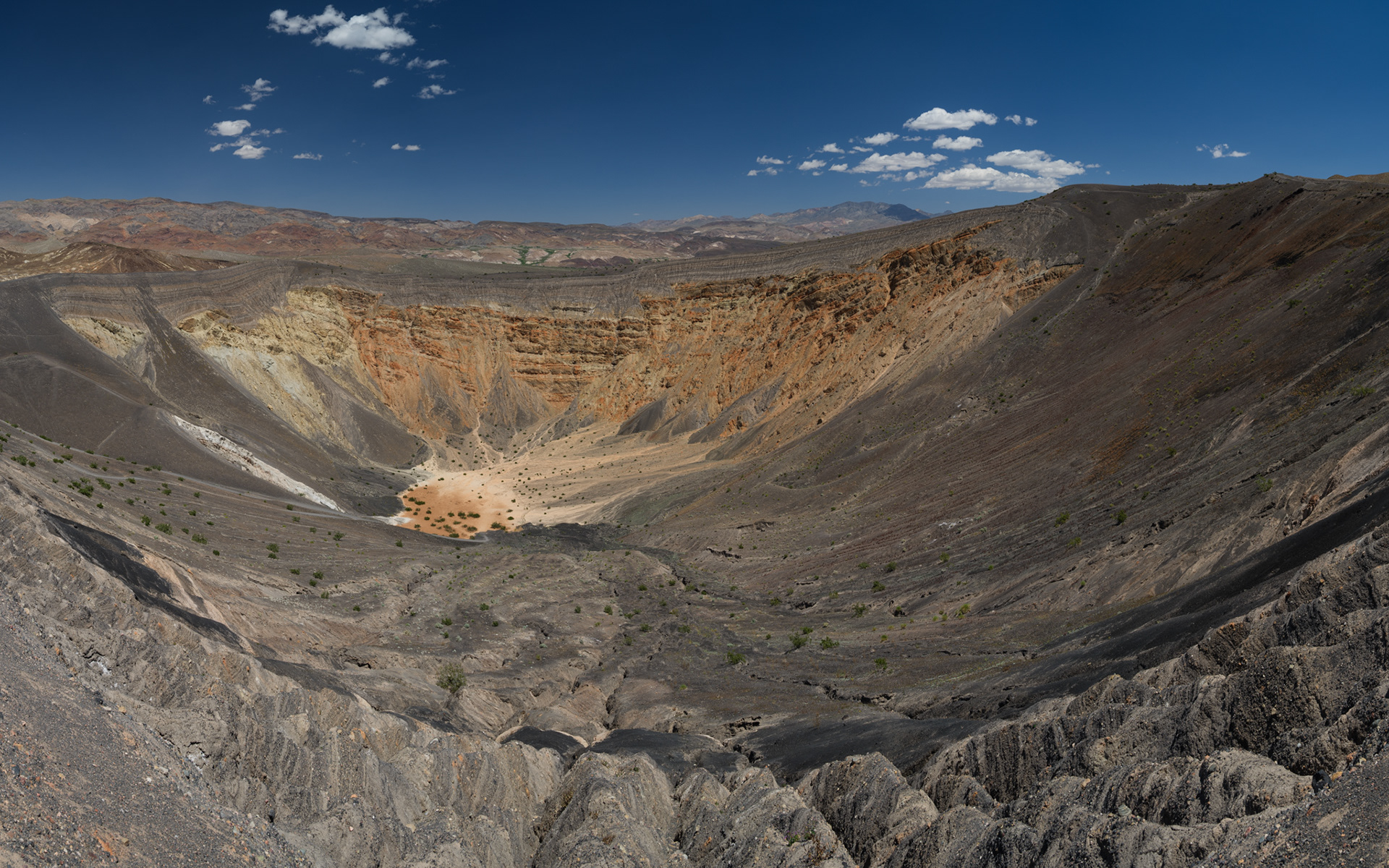
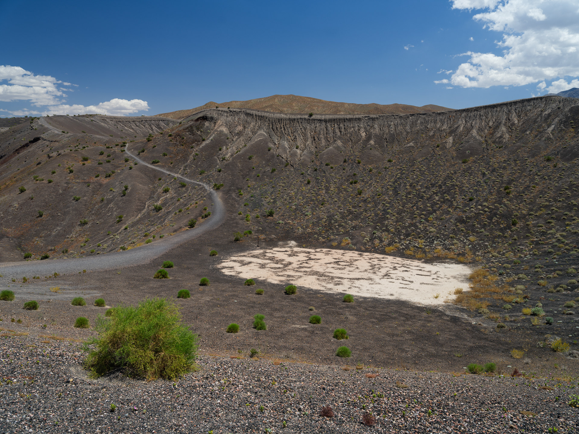
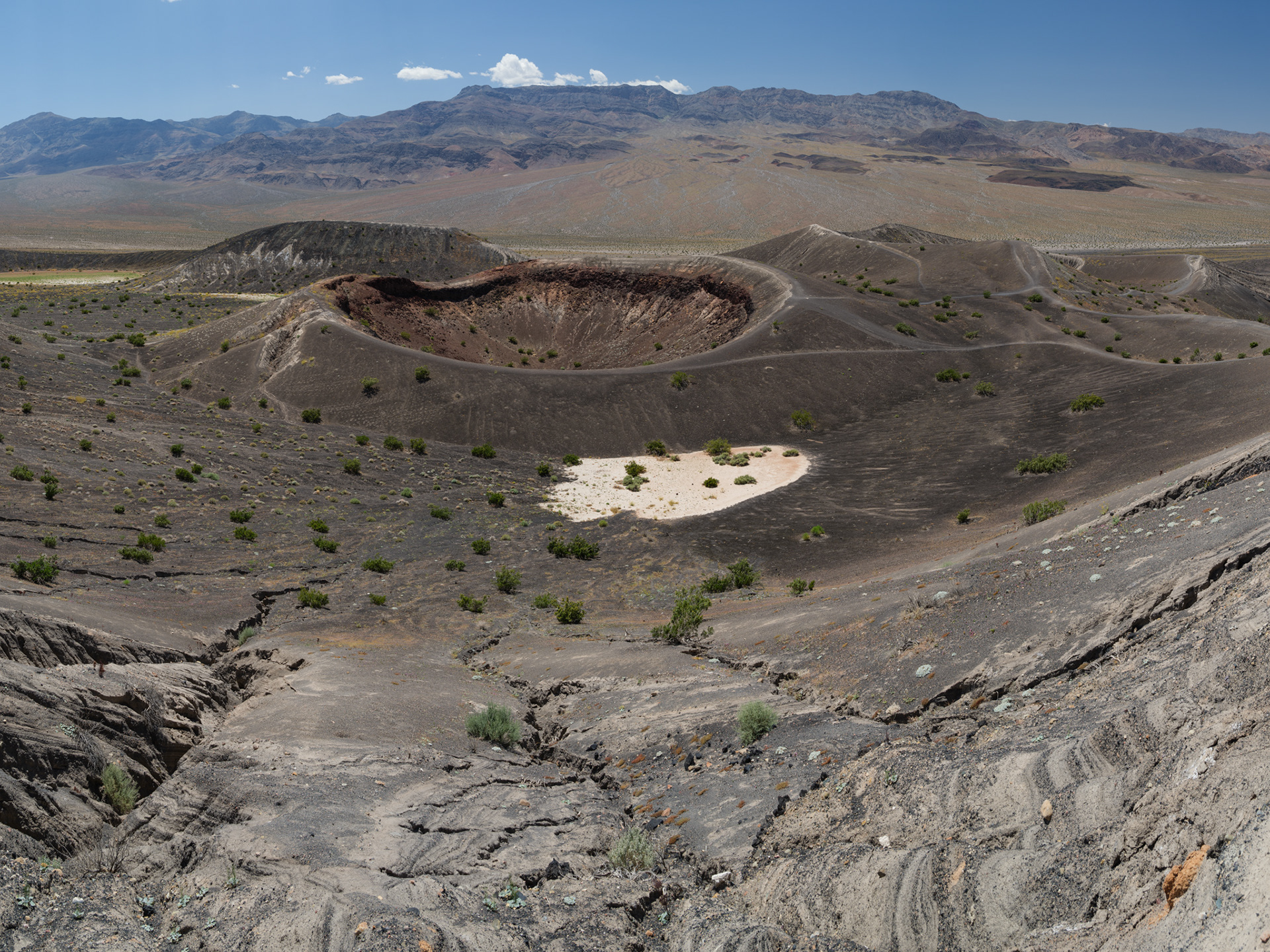
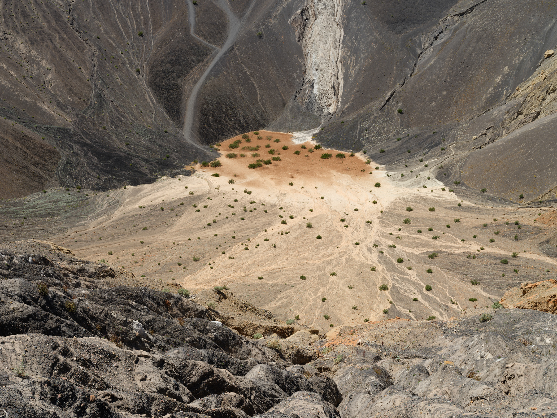
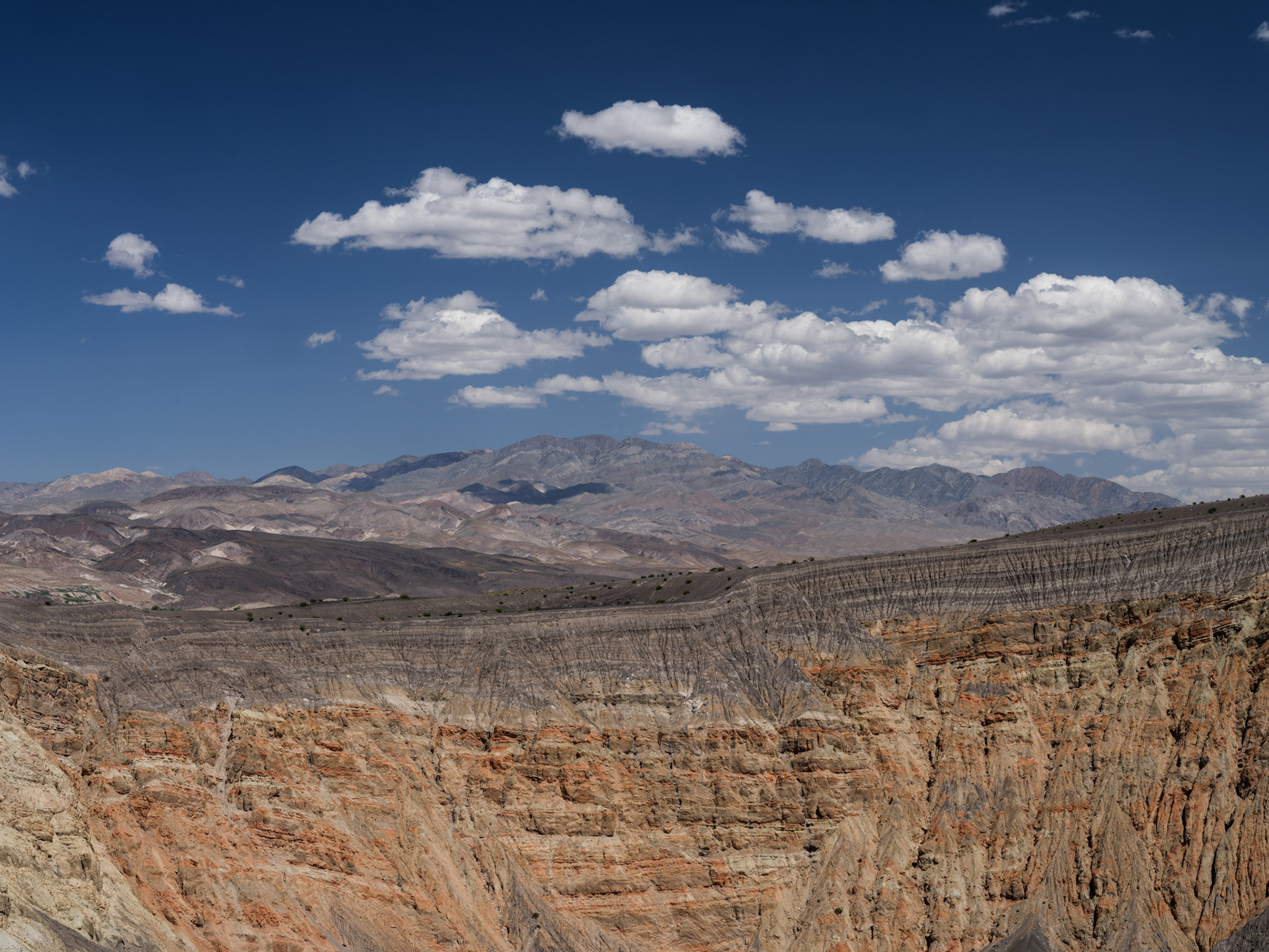
Ubehebe Crater. Roughly half a mile across and between 500 and 700 feet deep, depending on where you measure from.

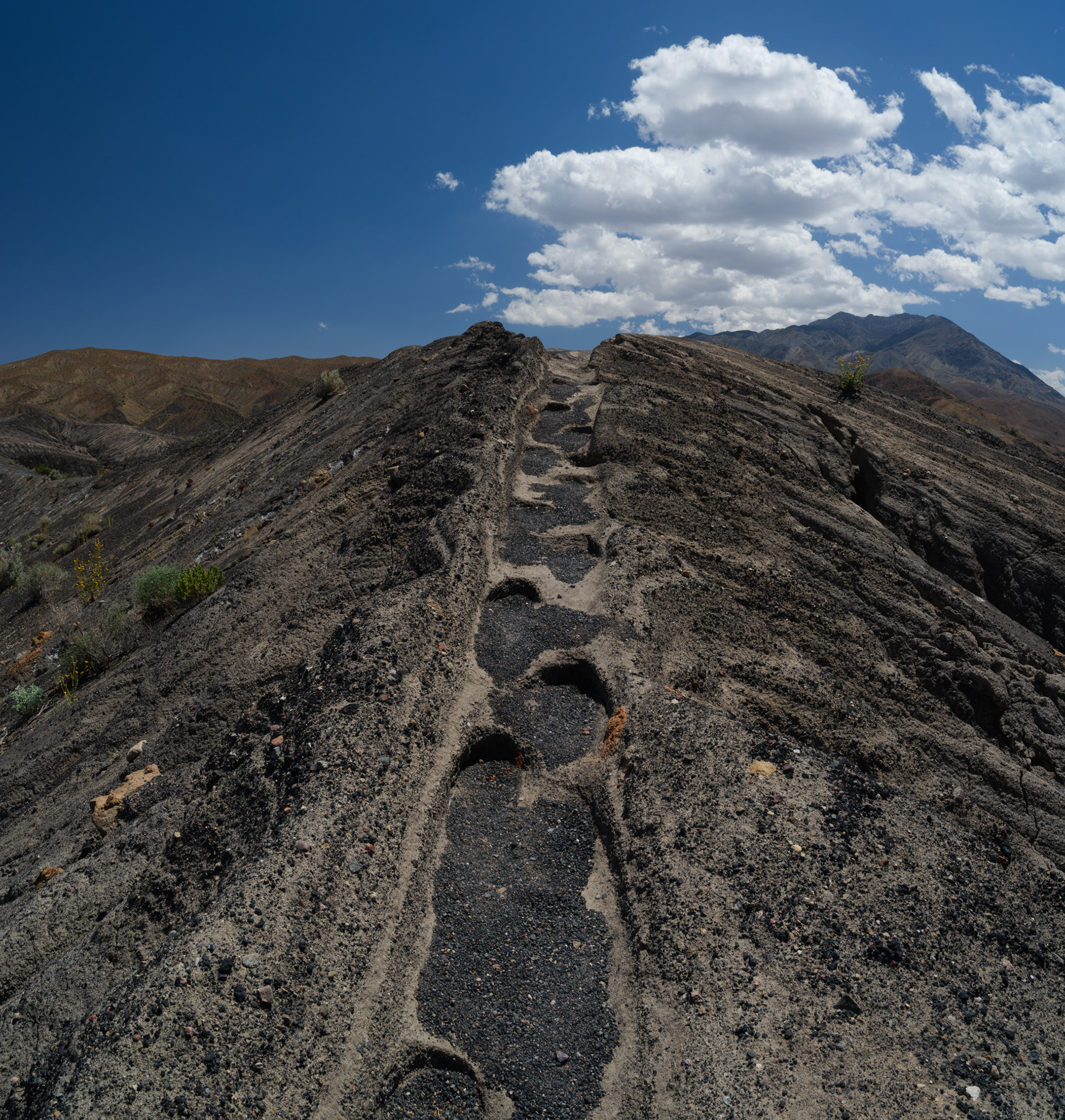
Little Ubehebe Crater under the harsh midday sun.
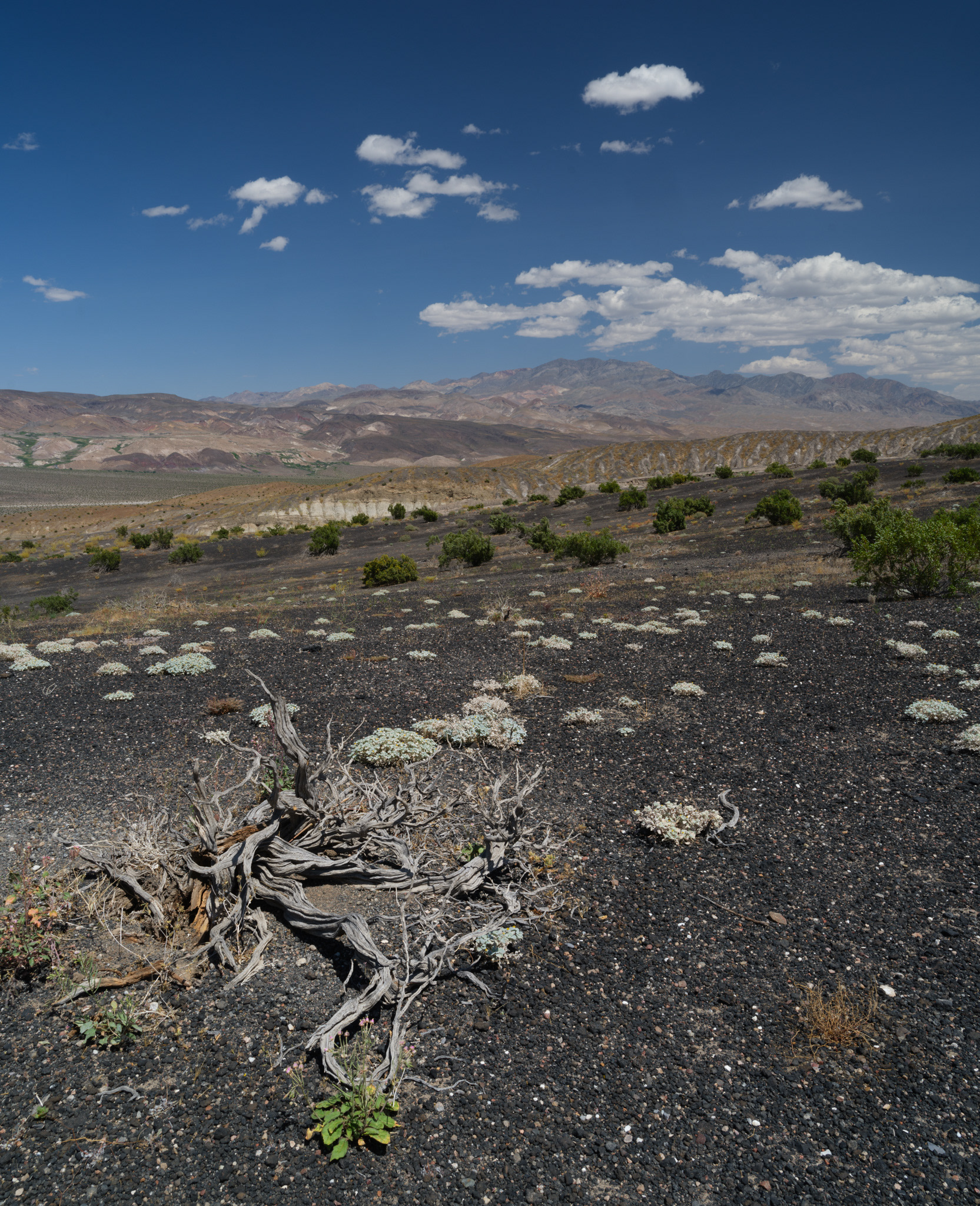
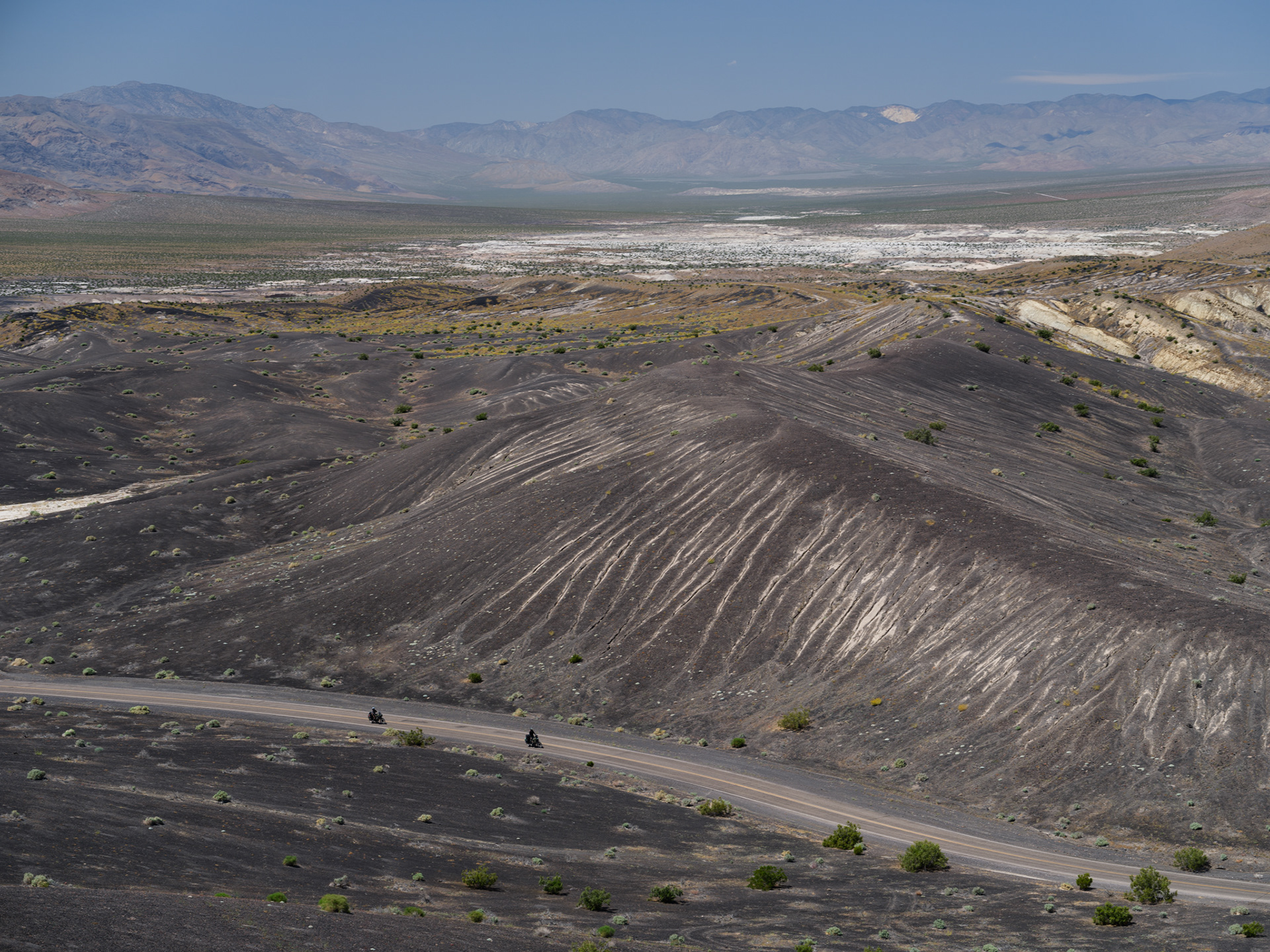
Motorcyclists crossing the volcanic landscape north of Ubehebe.
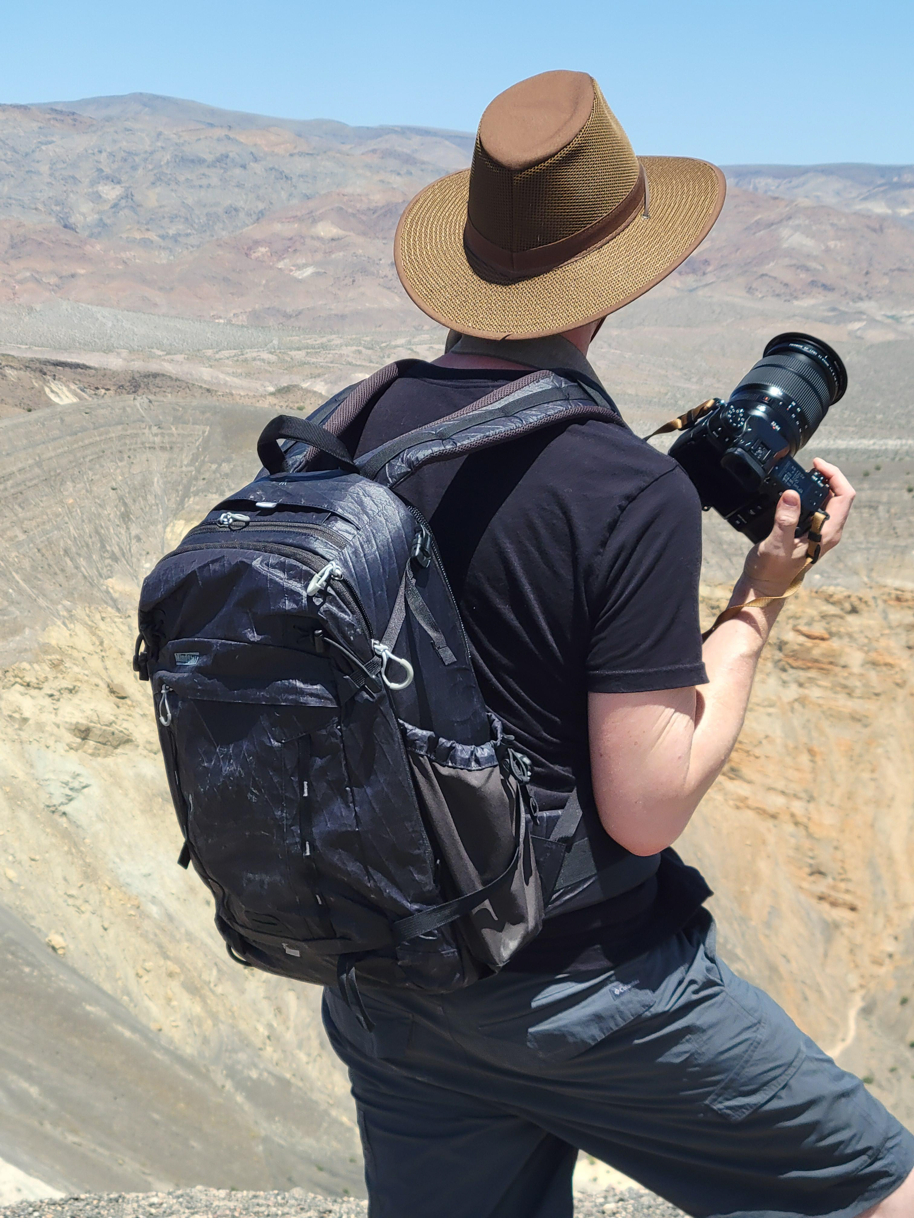
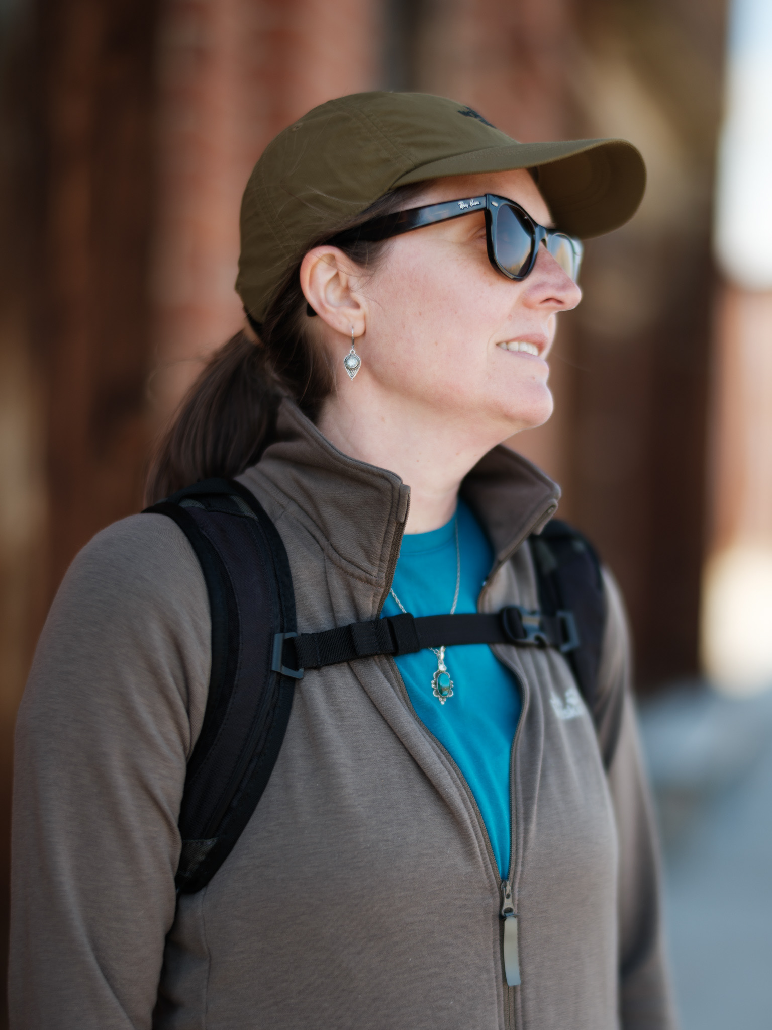
Rocking the Think Tank BackLight 26L while carrying the Fujifilm GFX100S with the GF 32-64mm f/4.
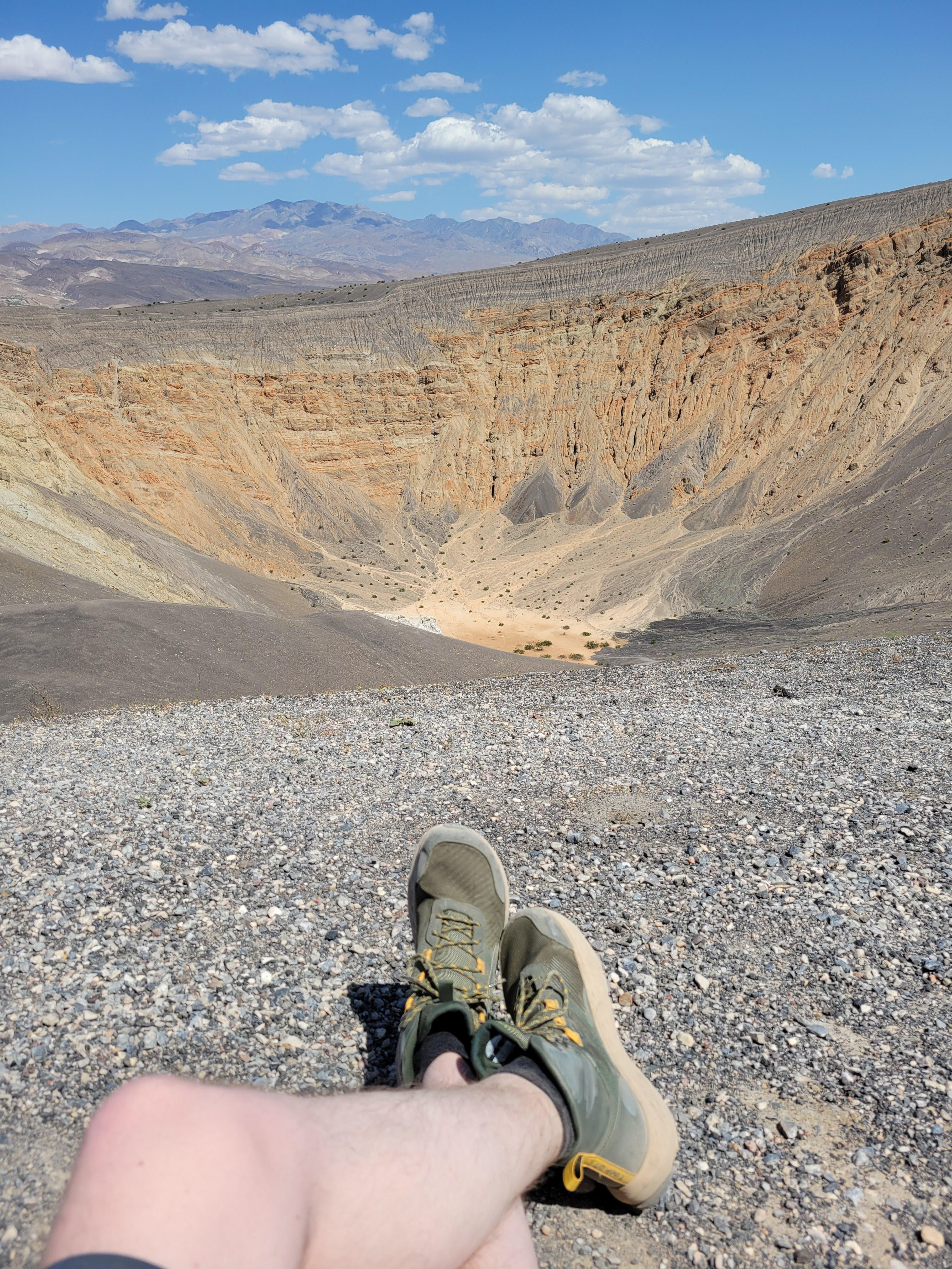
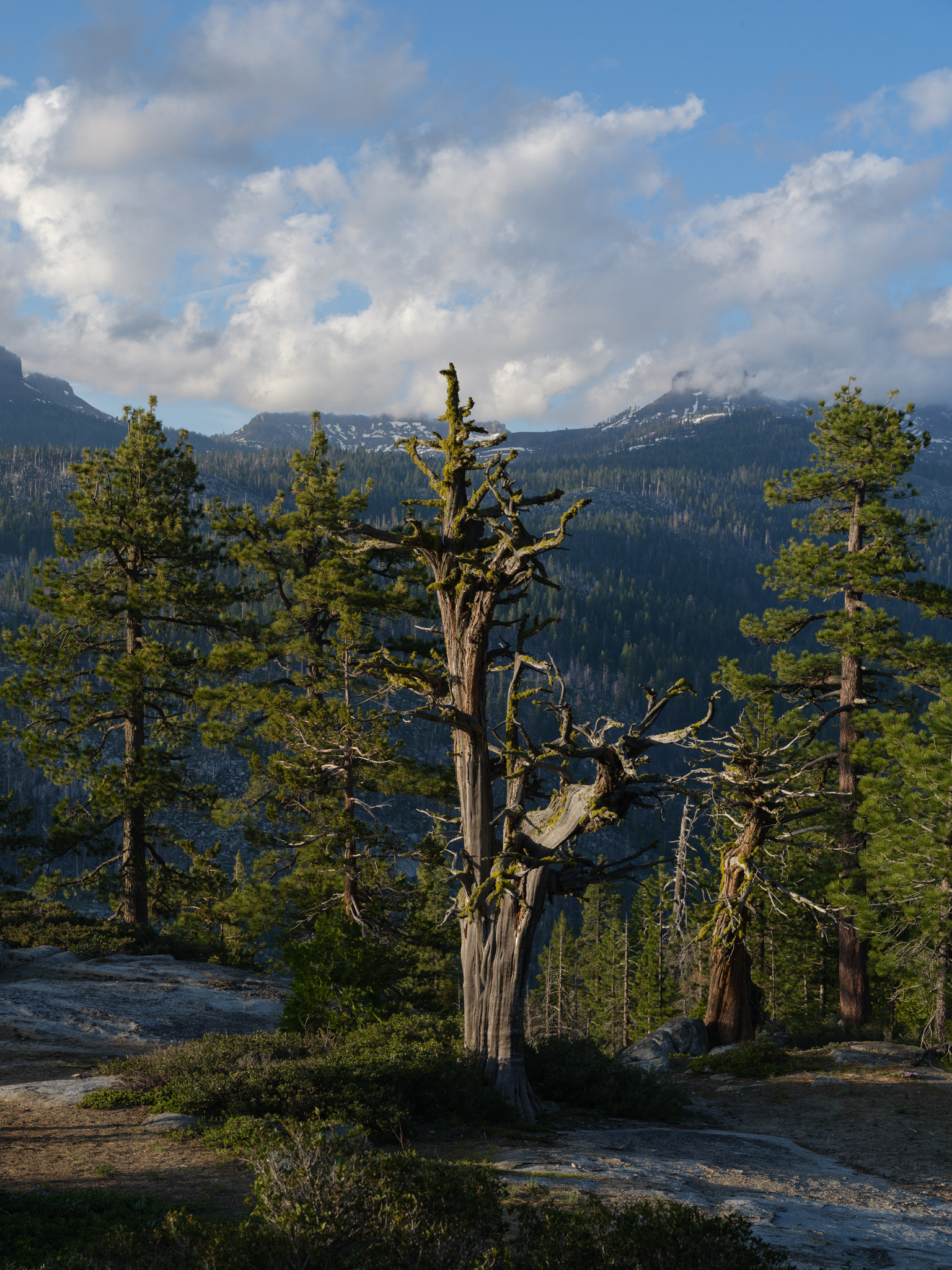
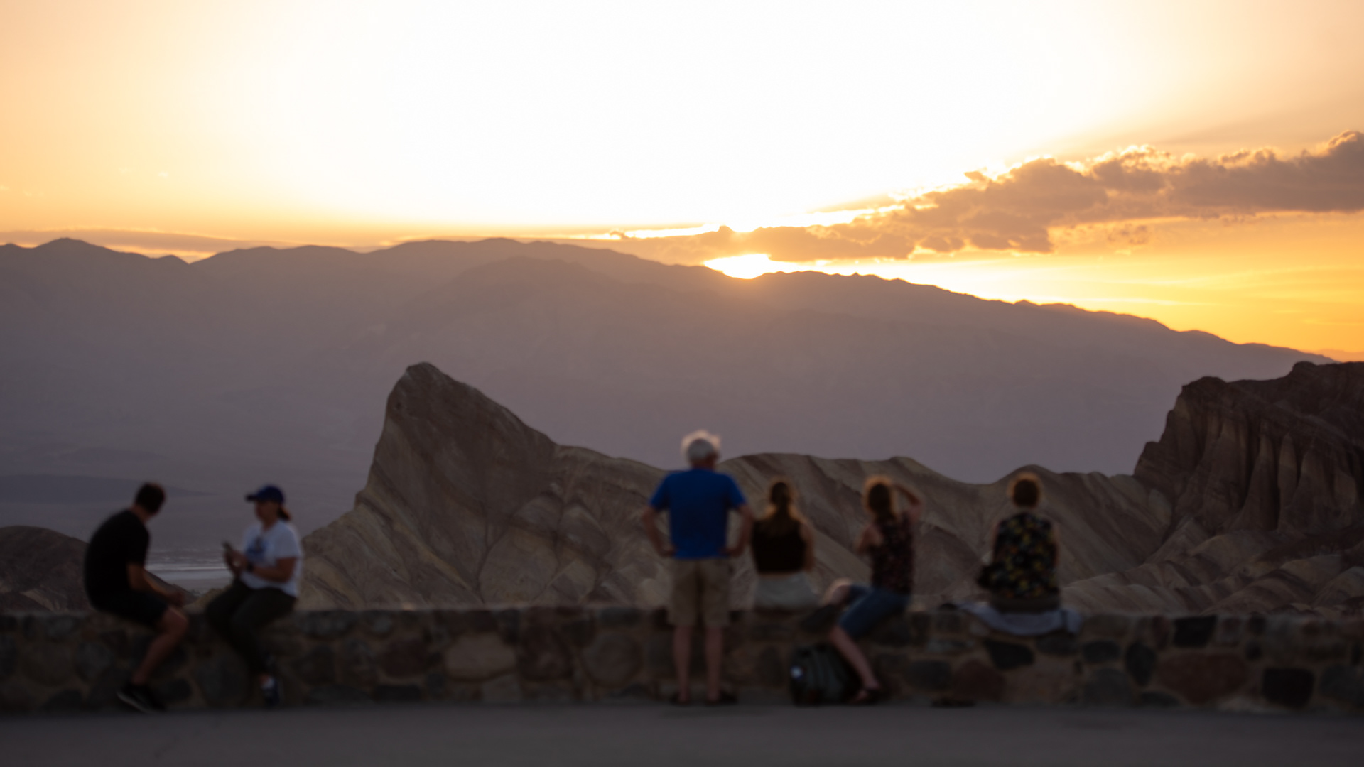
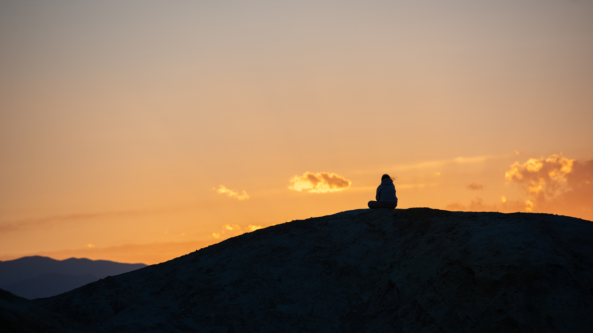
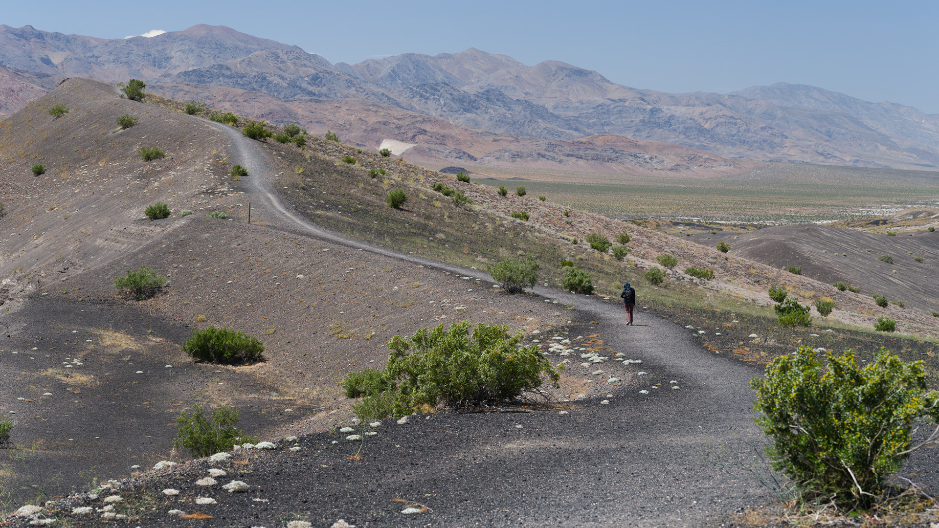
Taking a few minutes to simply sit and enjoy the view before heading back south.
Hard light, hot air, and bluebird skies.


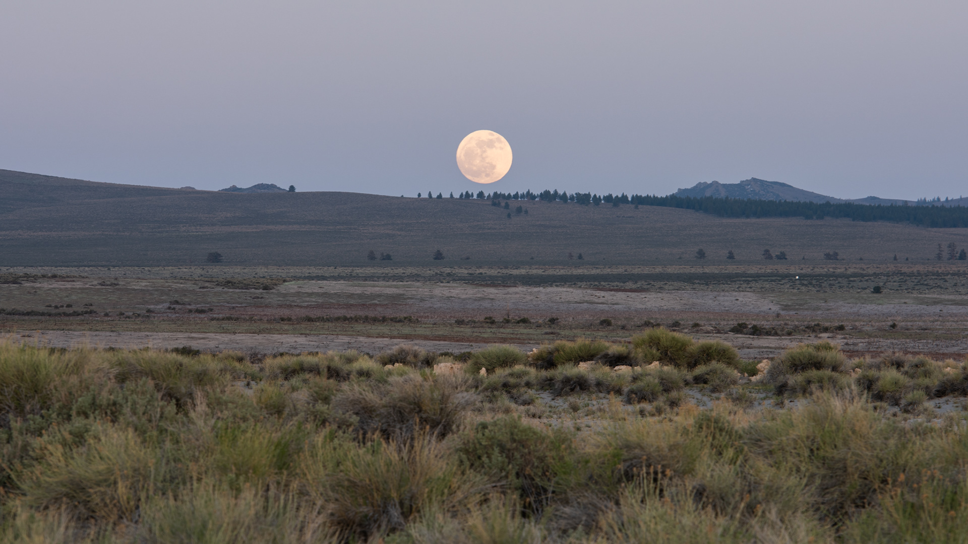
Moonrise
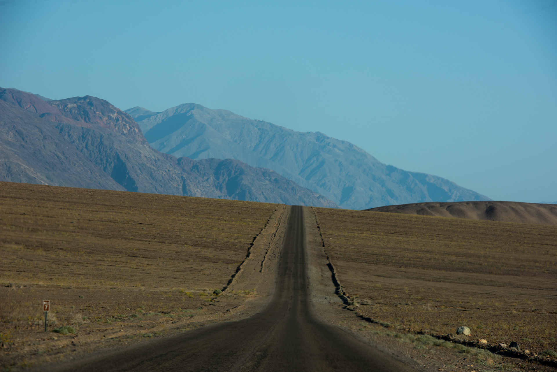
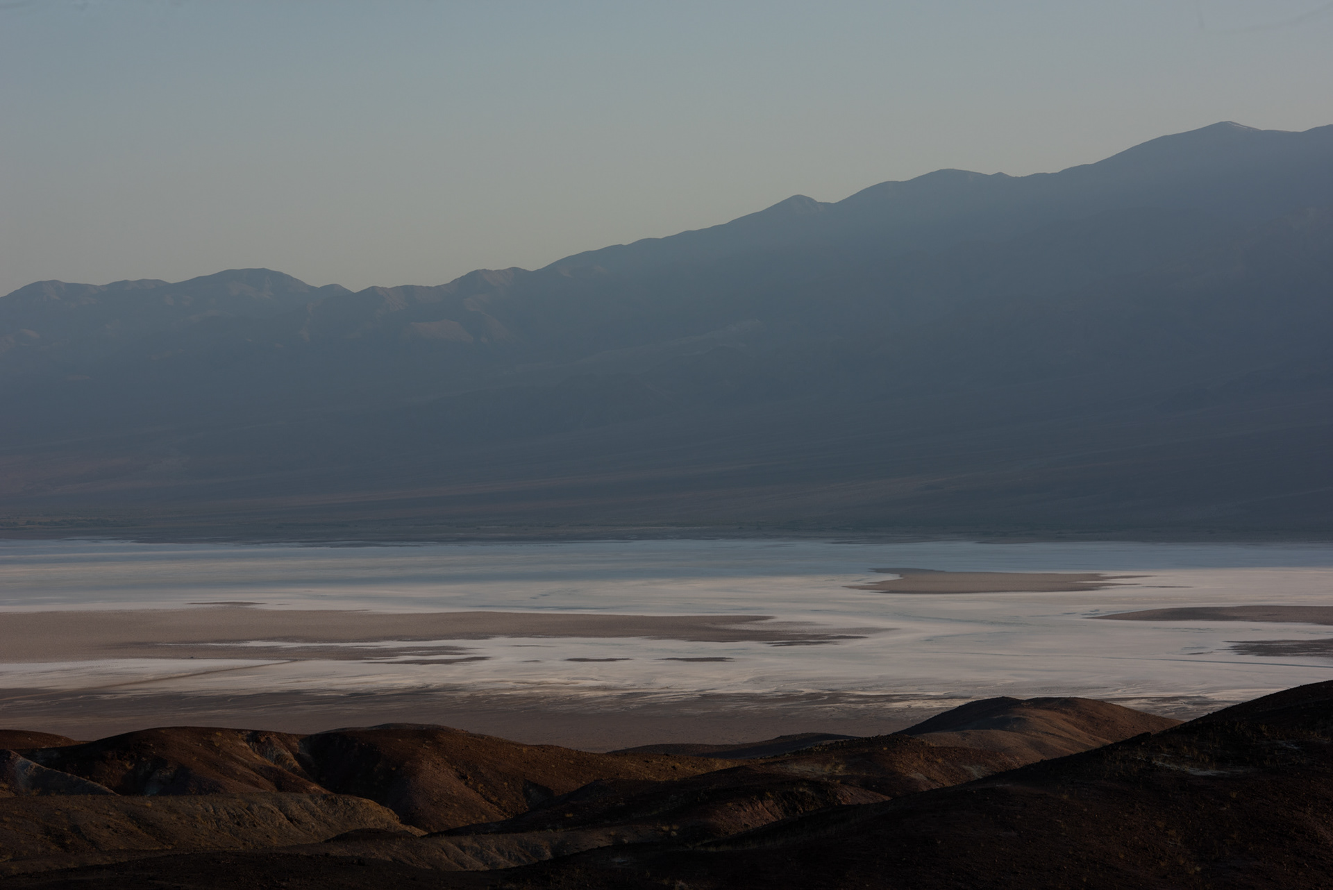
Road to Badwater

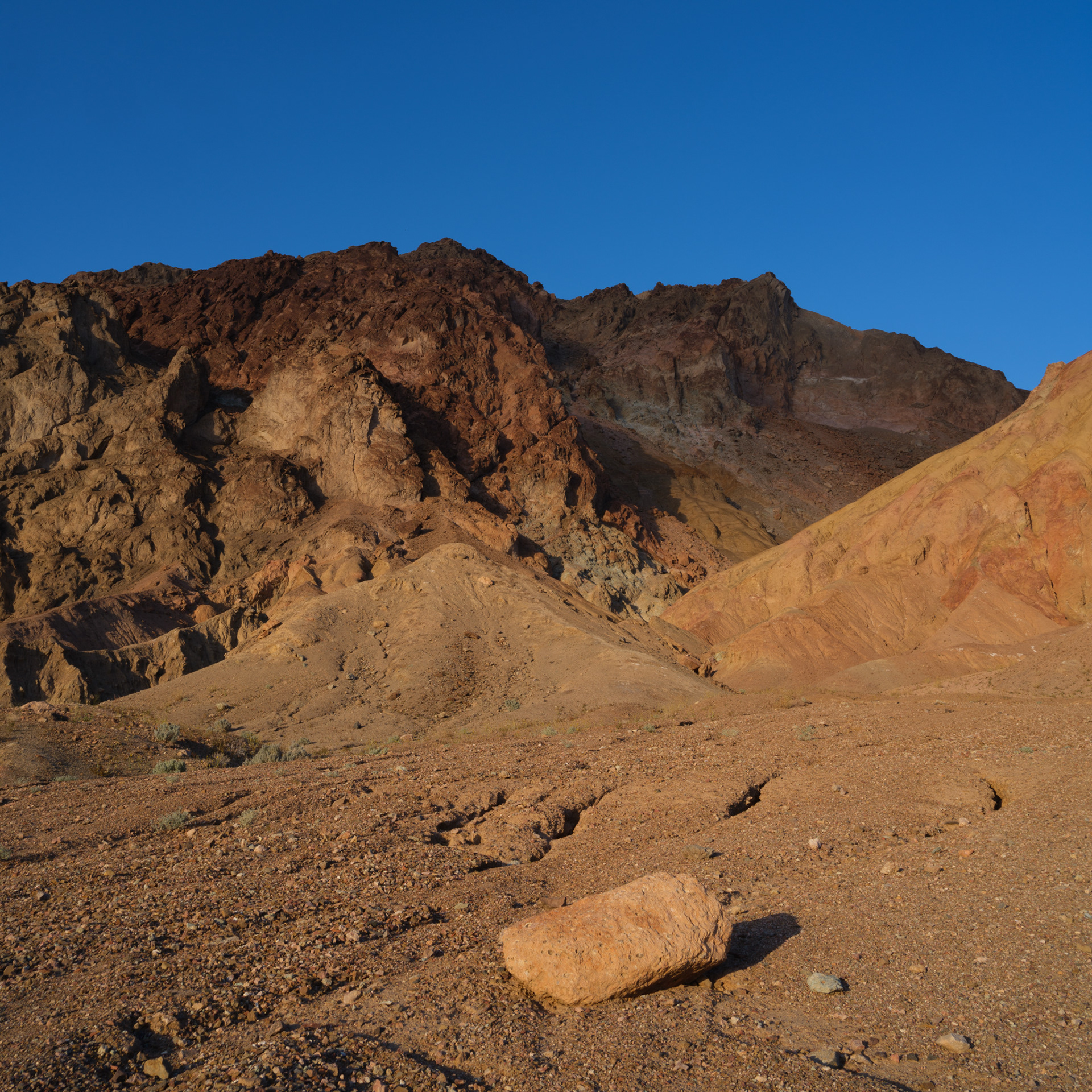

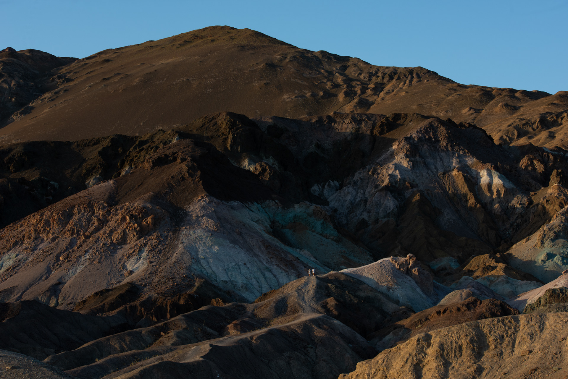

Artist Palette
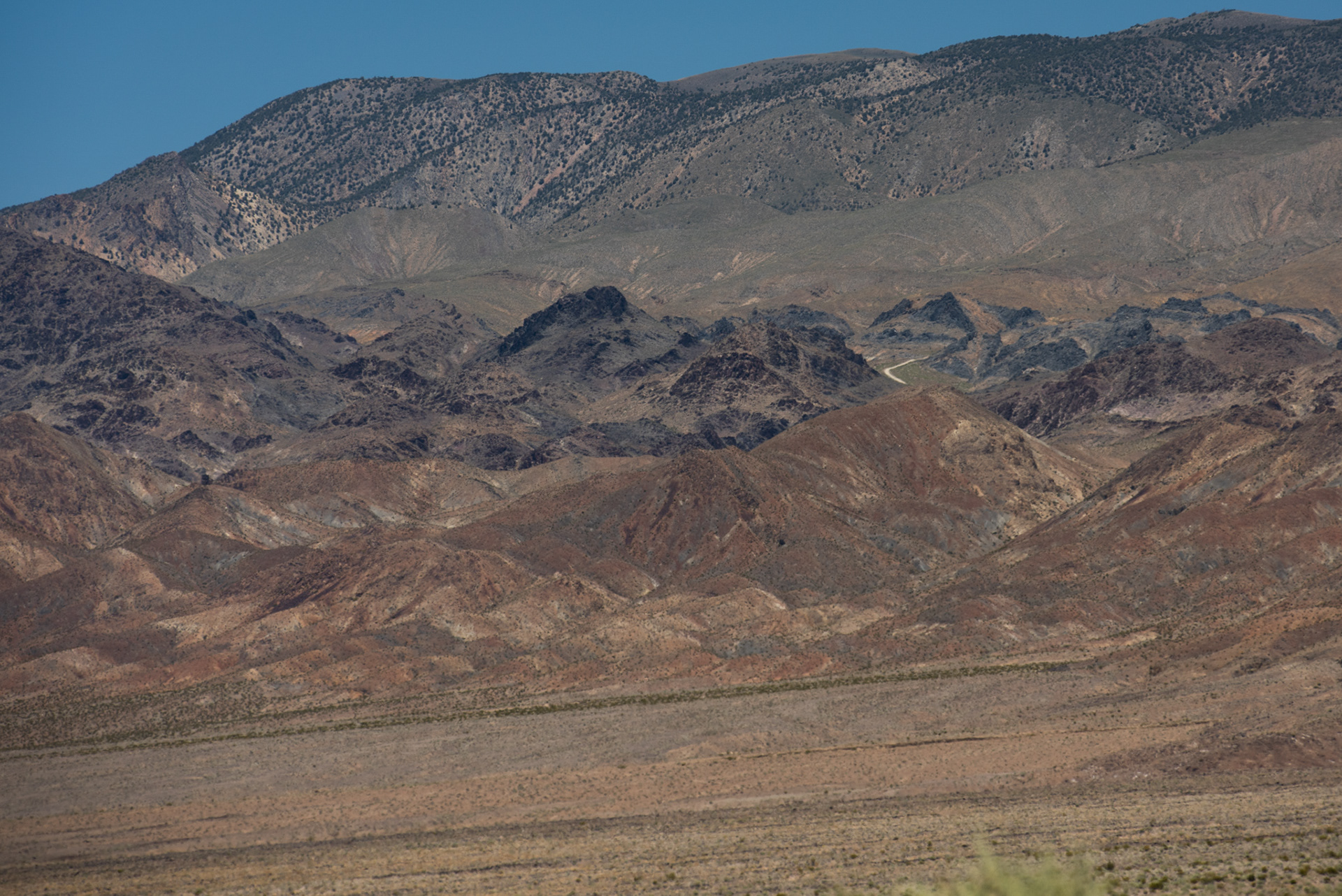
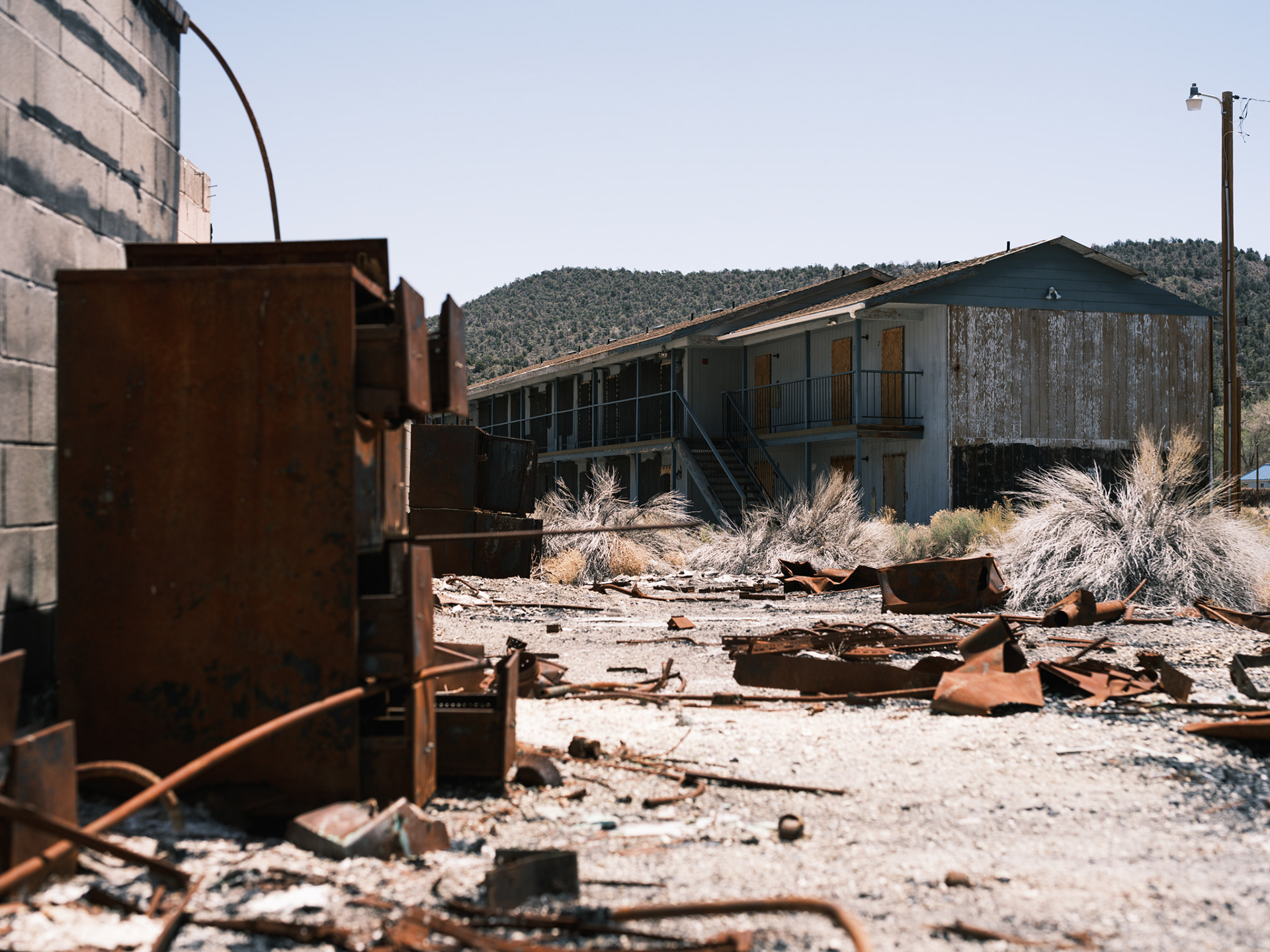
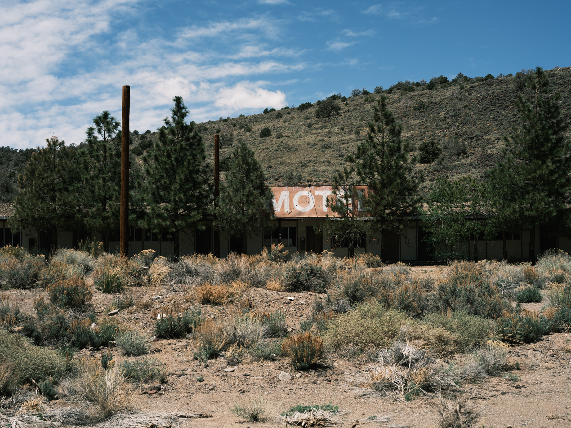
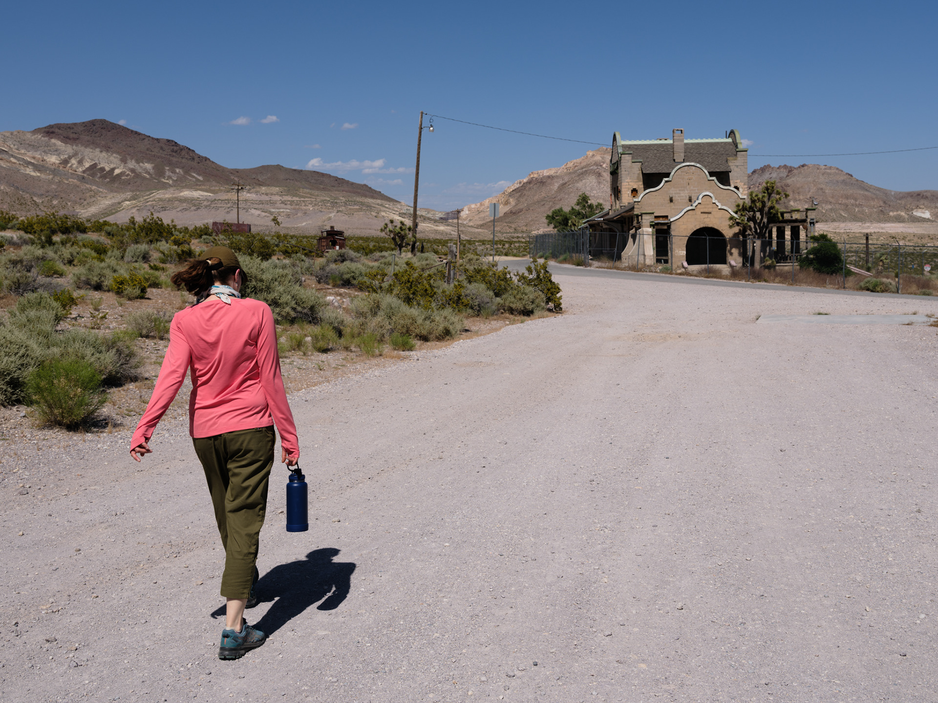
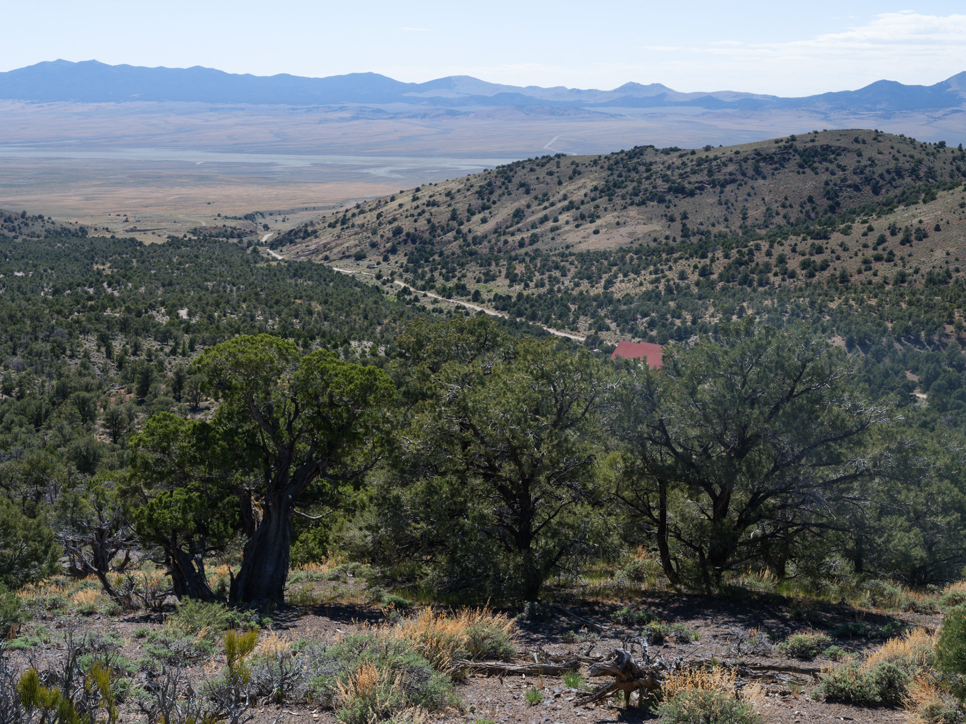
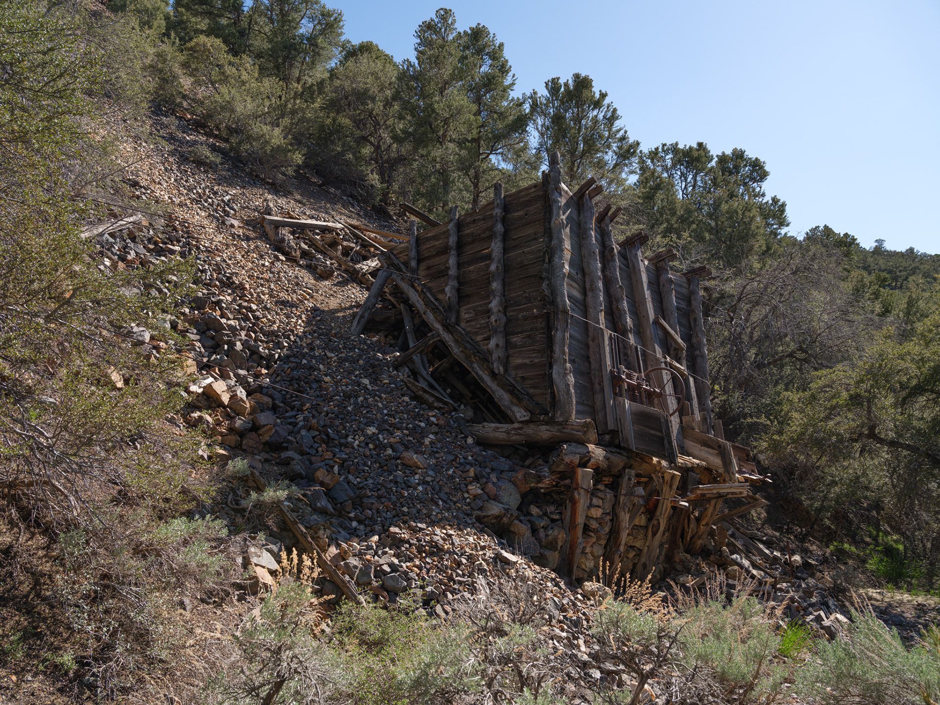
The long and winding road making its way up towards Cerro Gordo
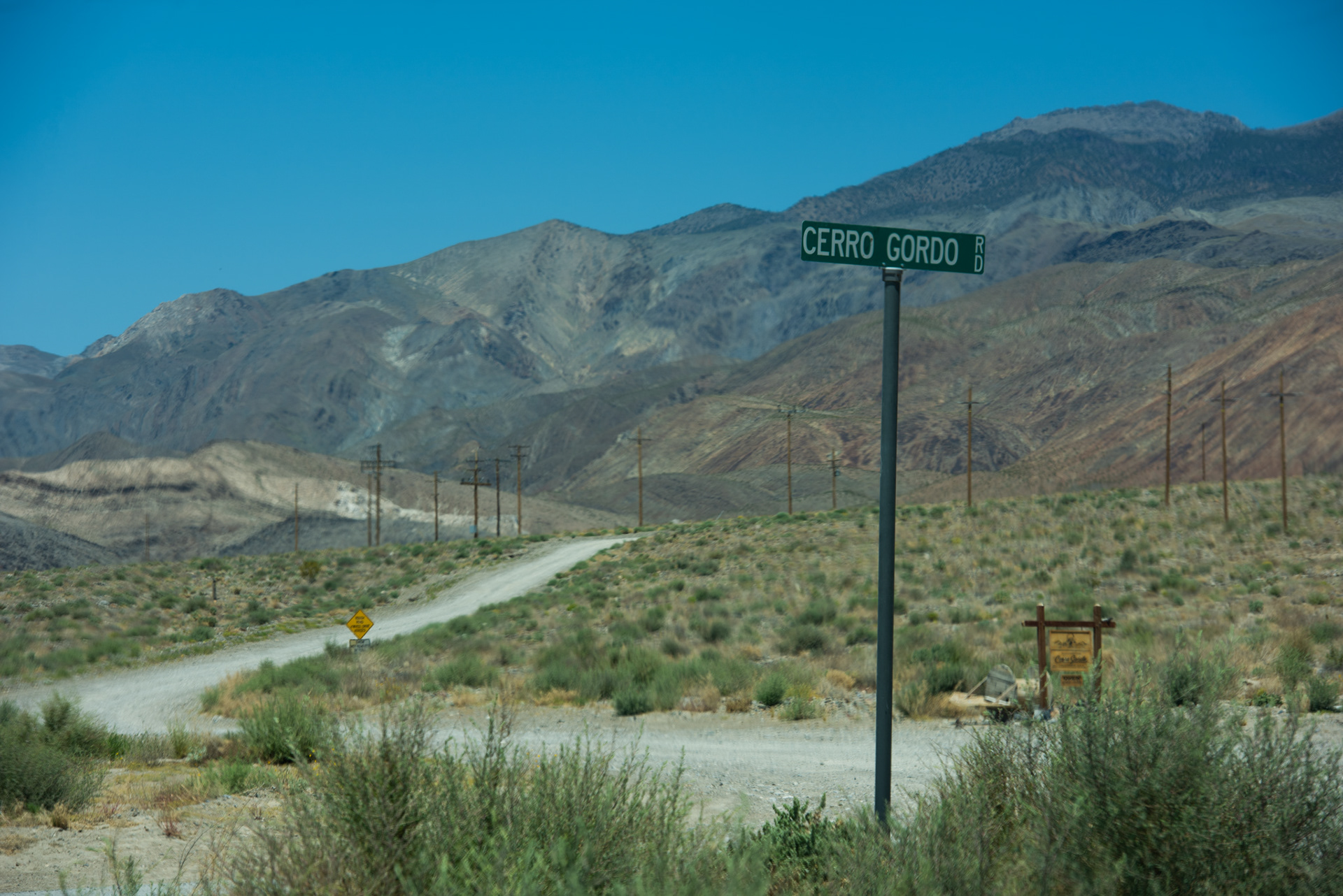
Cerro Gordo Road at Hwy 136 in Keeler, CA
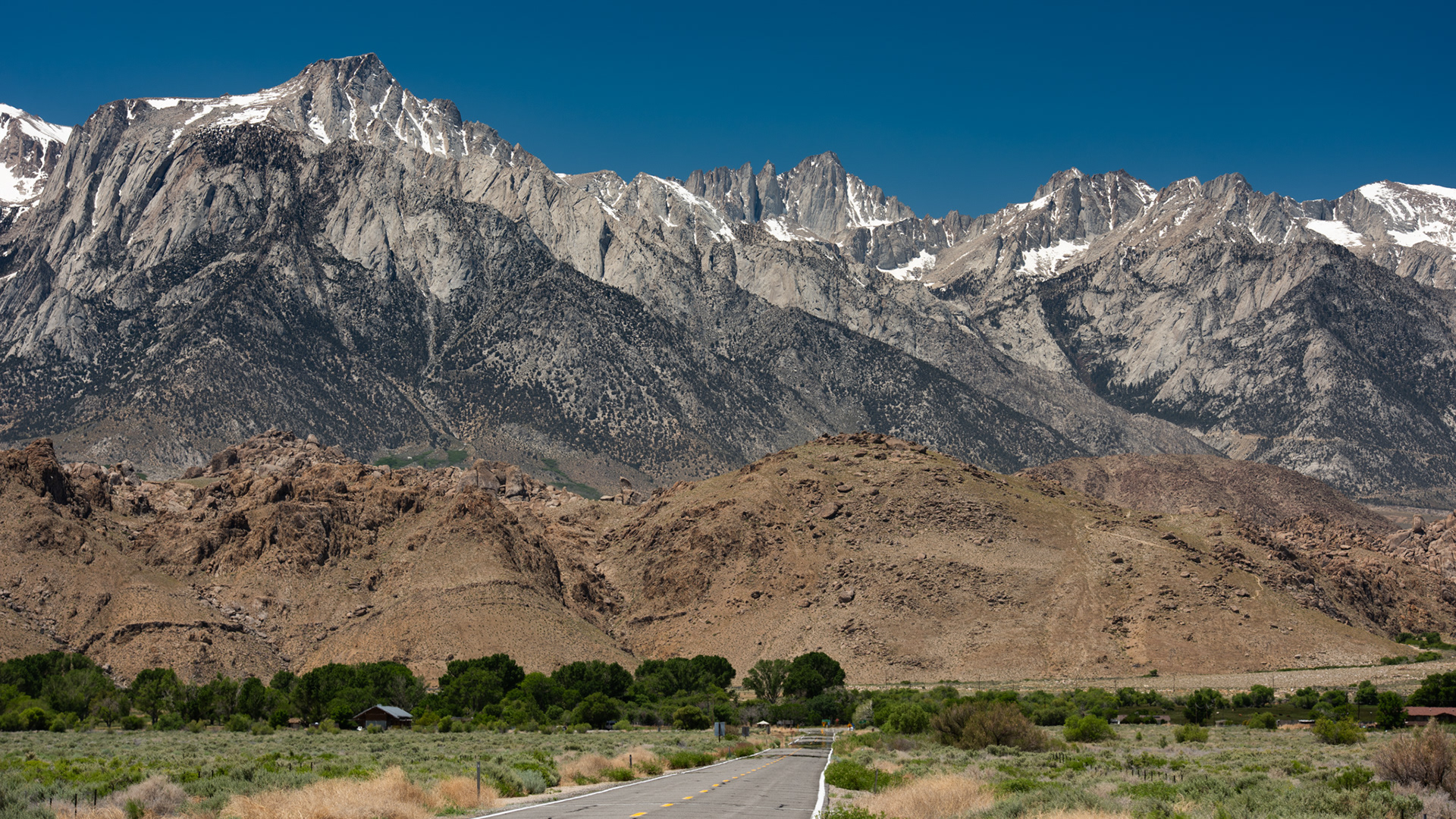
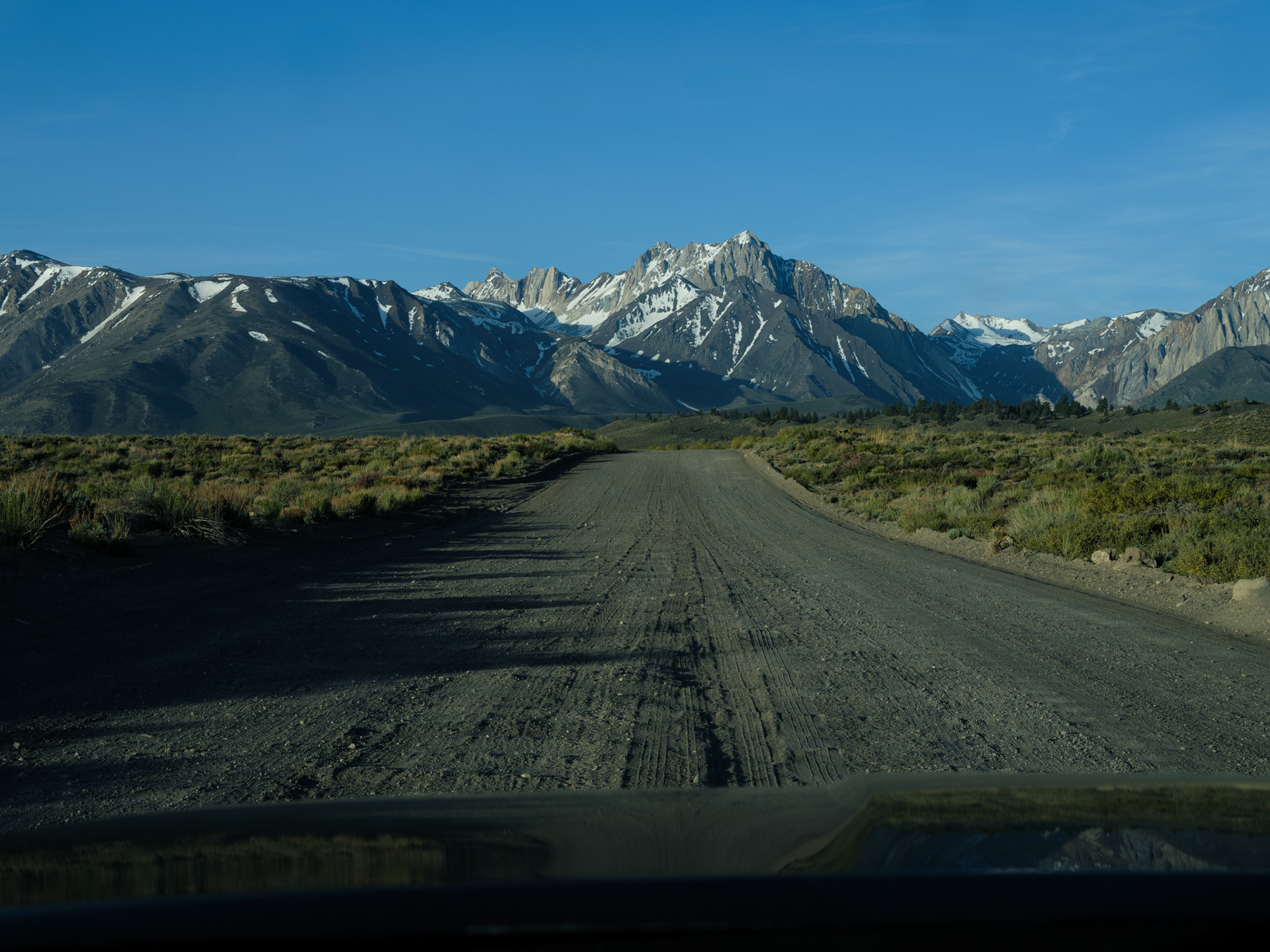
Mt. Whitney (and others), Alabama Hills from Hwy 136 nearing Hwy 395
PT. 1 - HOT CREEK
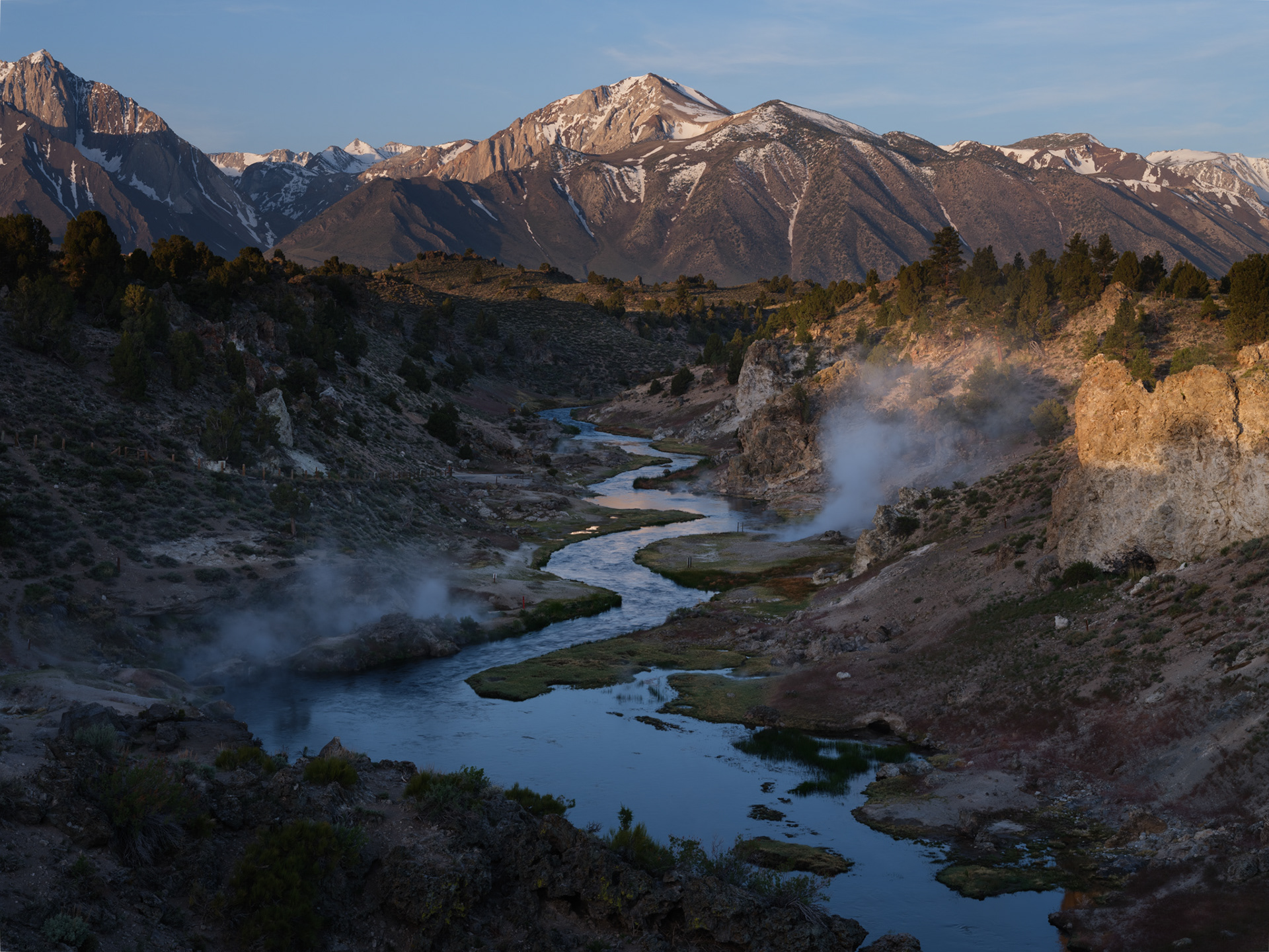
Hot Creek at 6:06 AM
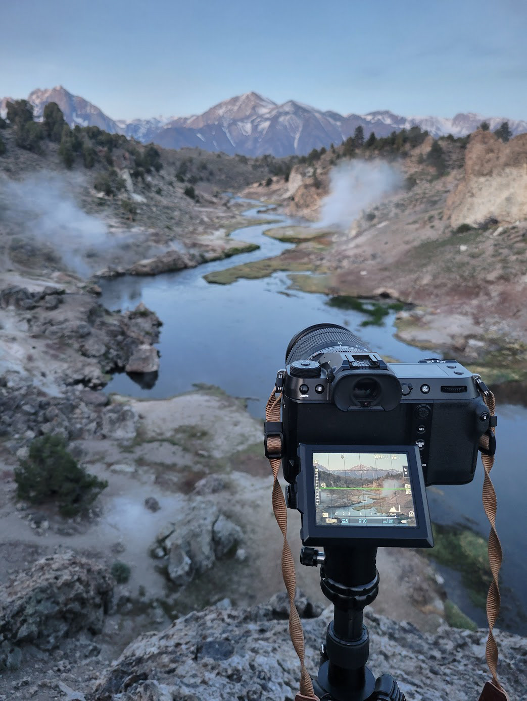
Geothermal steam drifting above Hot Creek with the Owens River beyond.

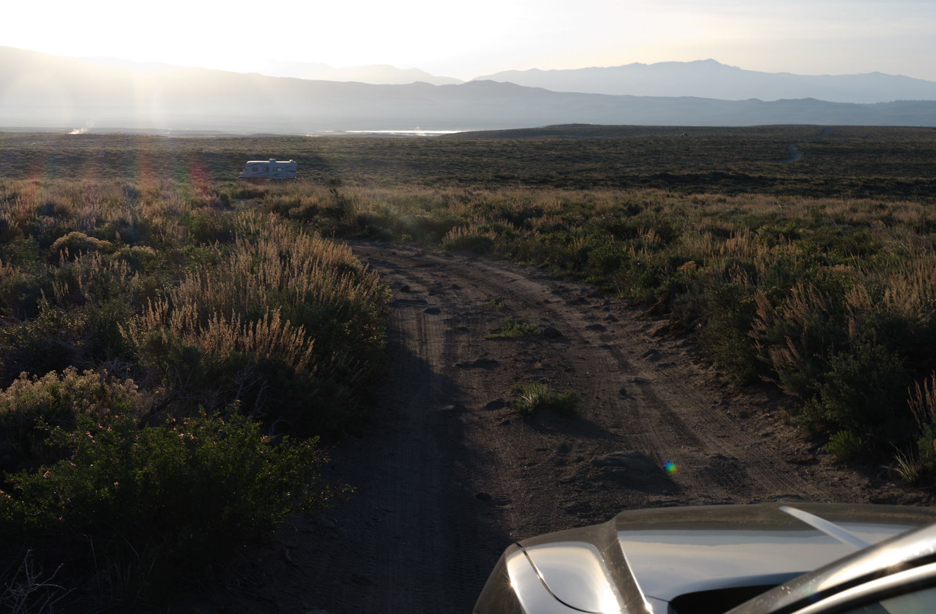
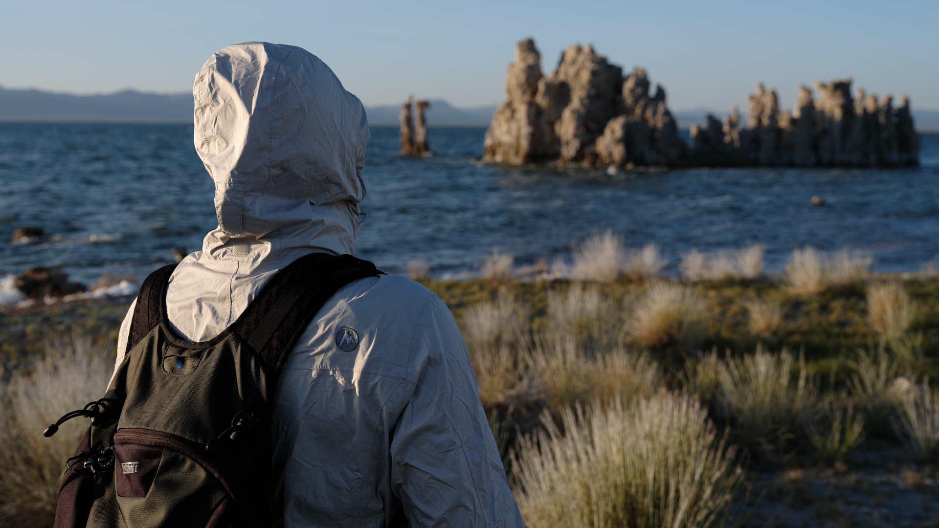
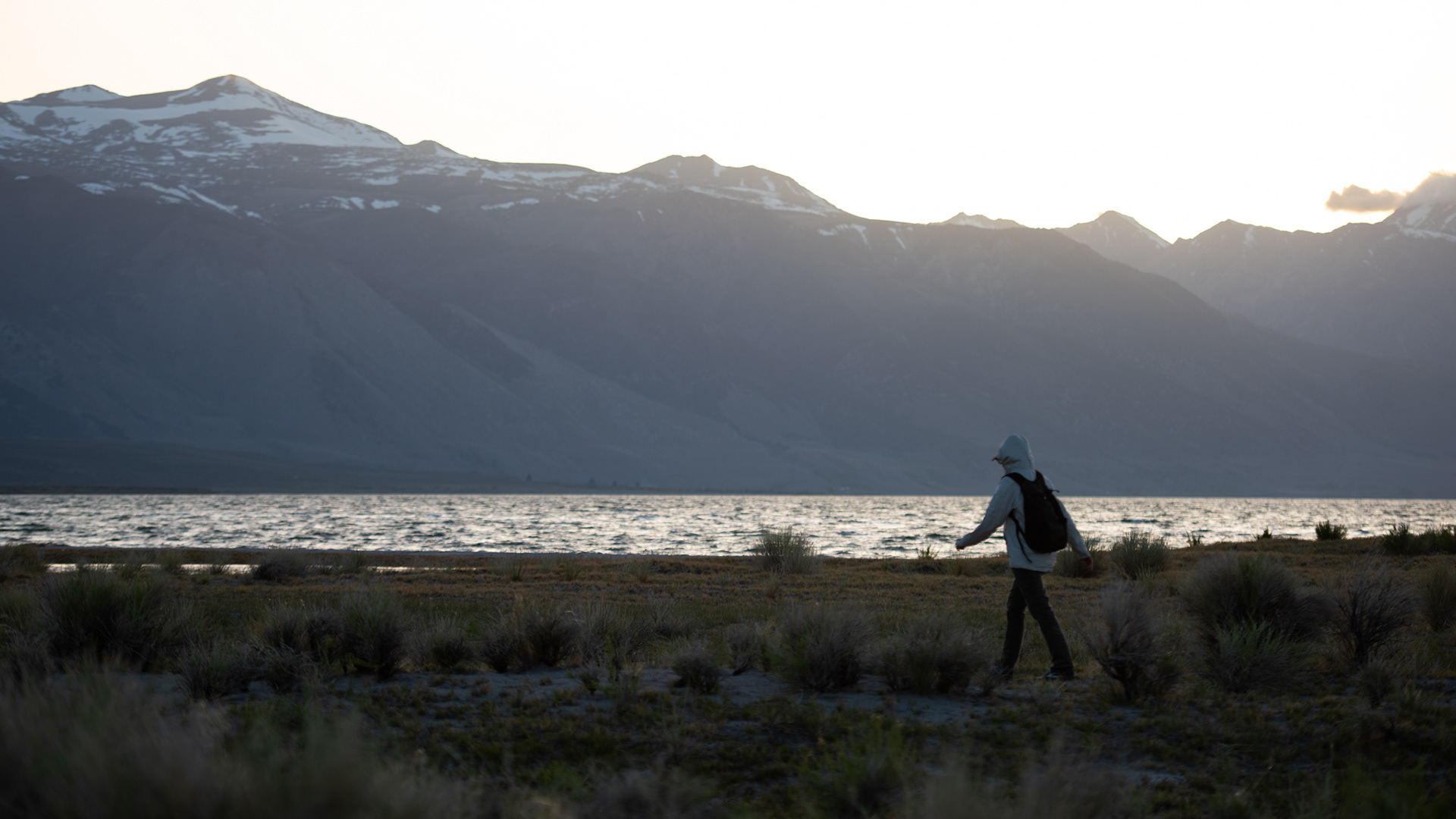
Still waking up


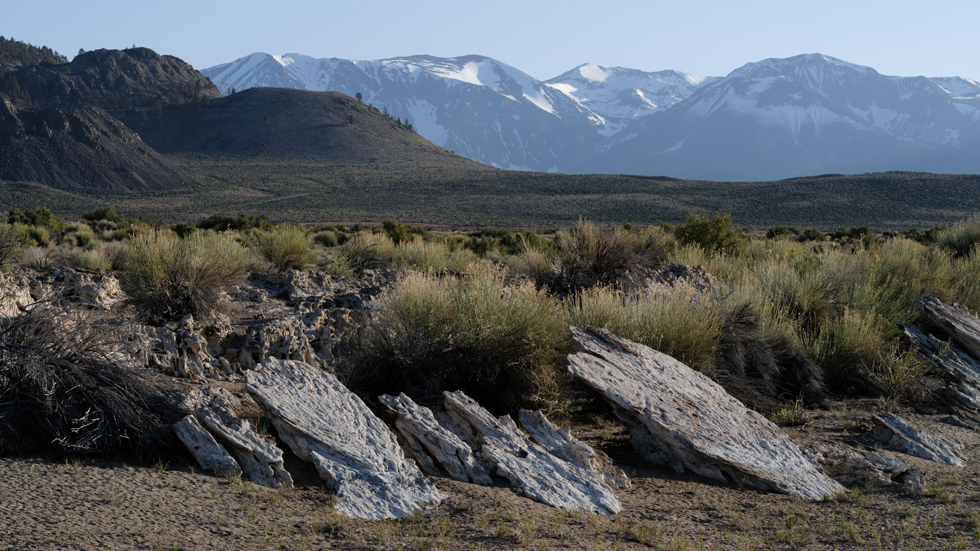
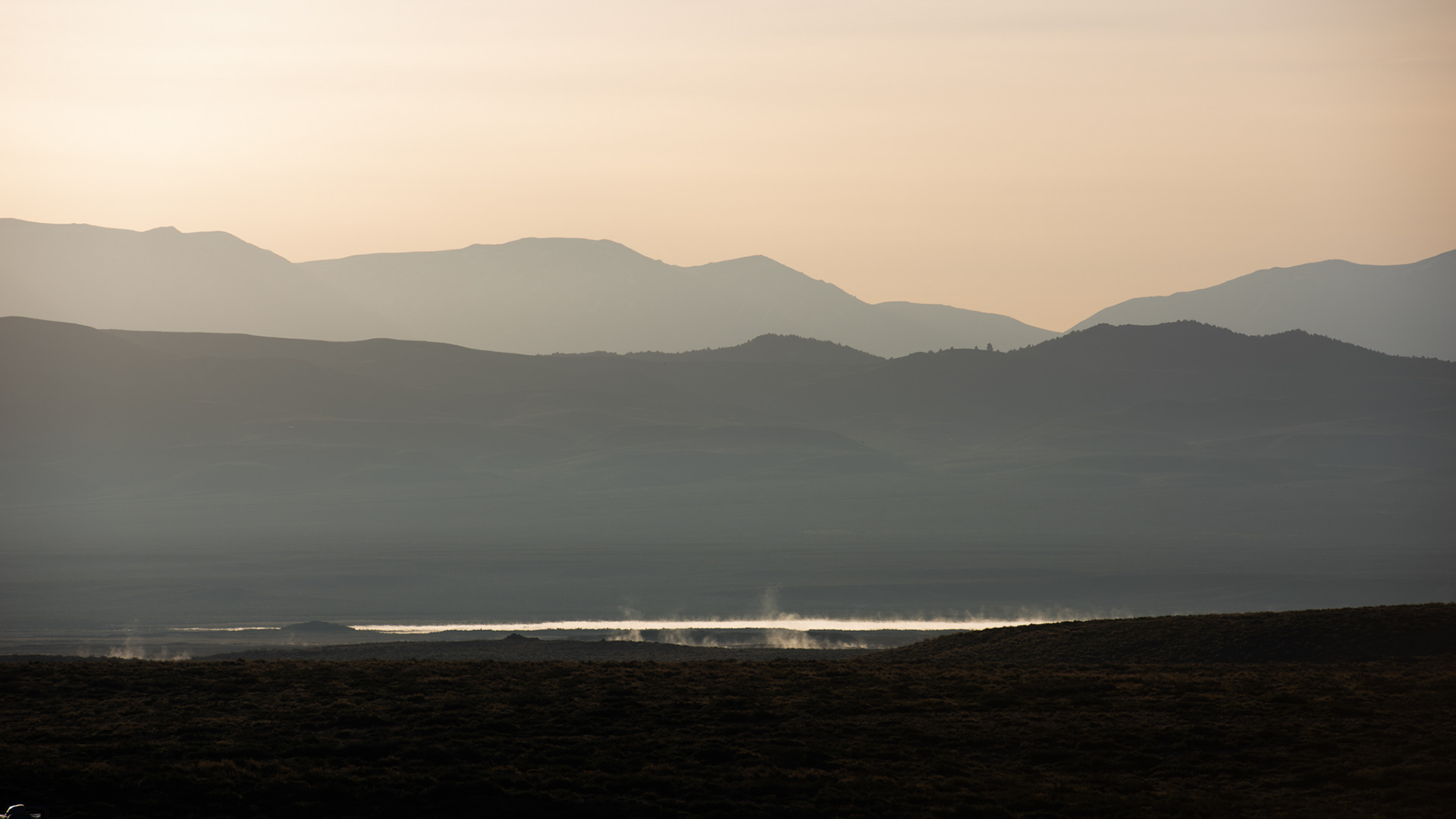
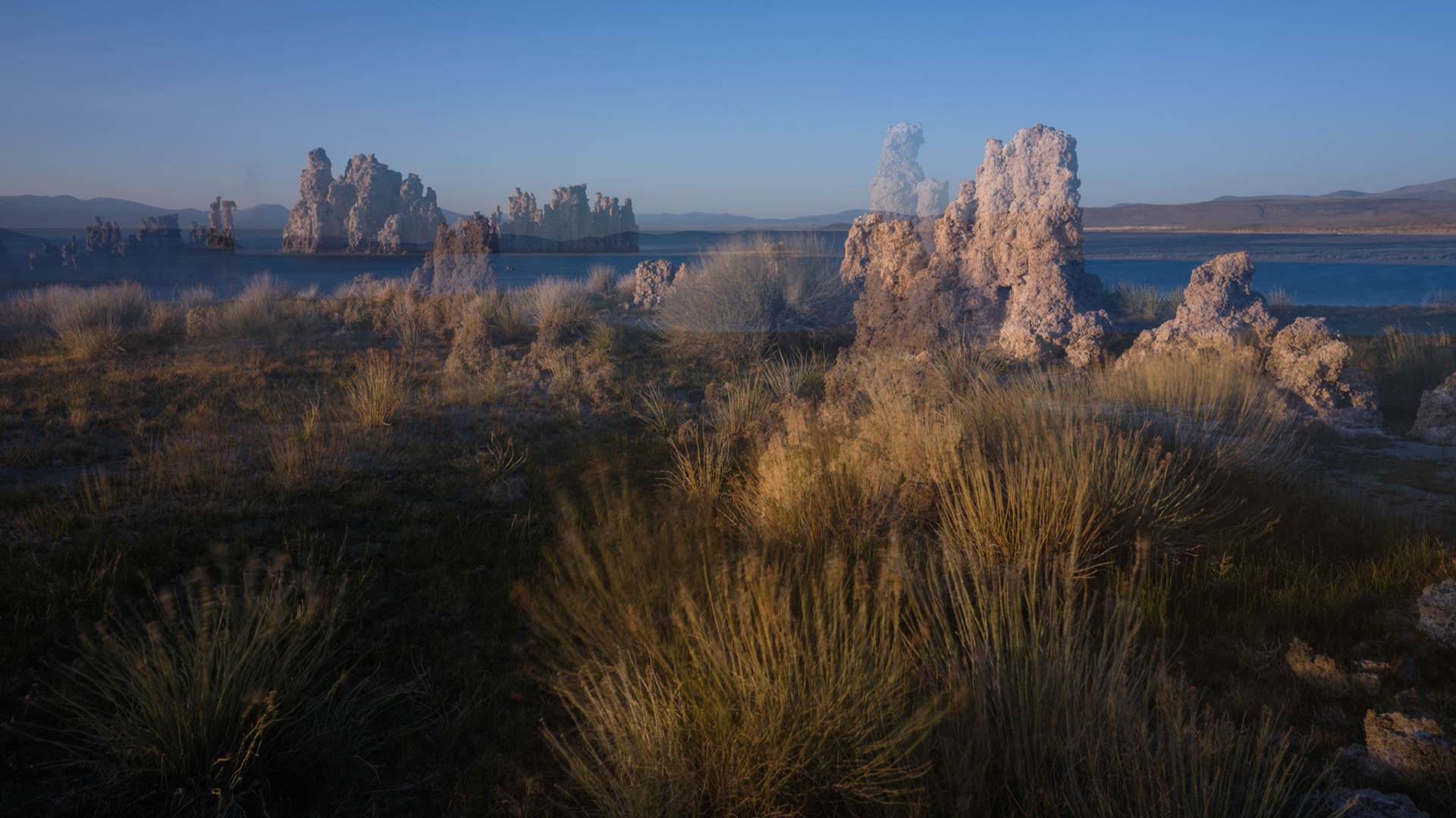
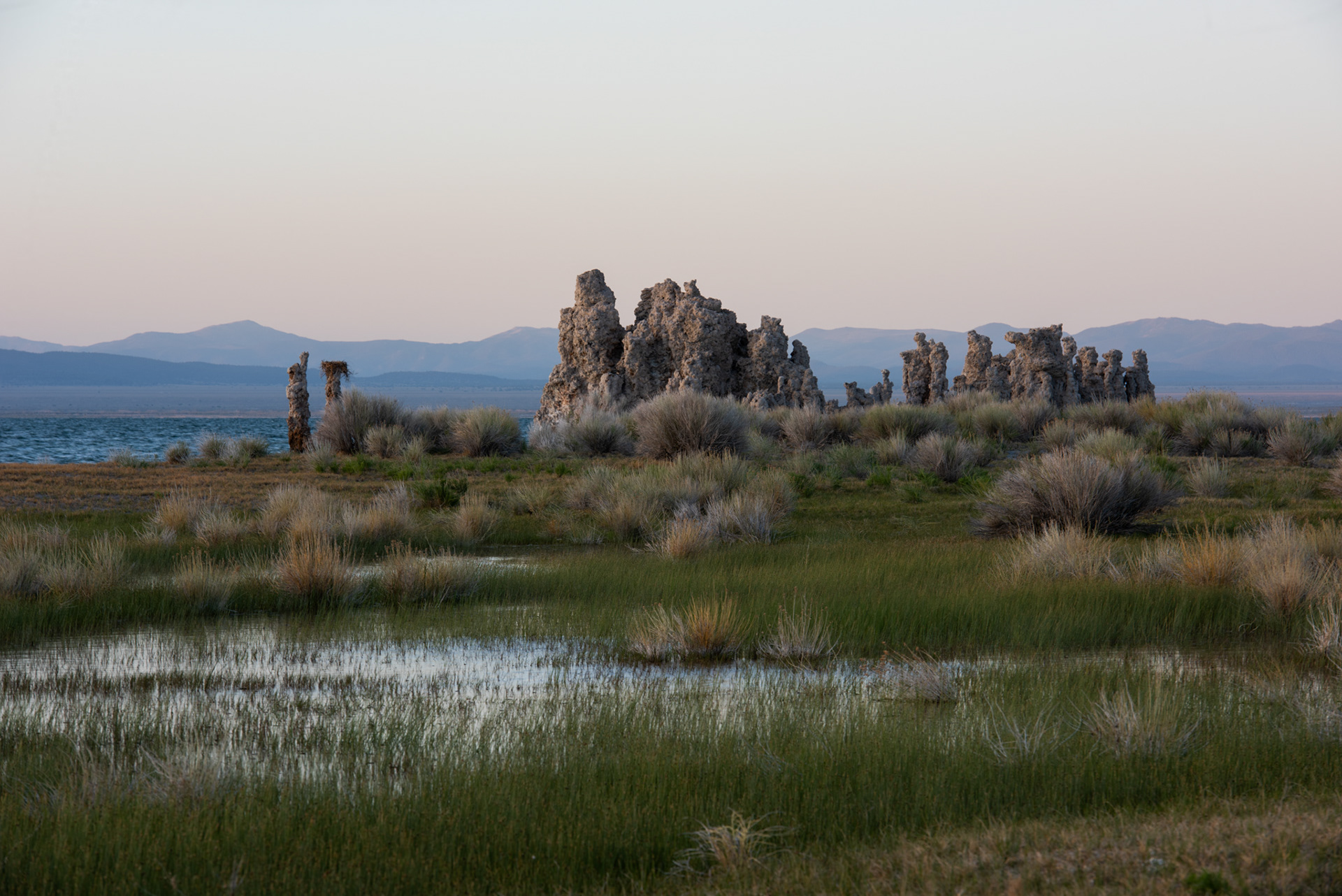
A different type of tufa at Mono Lake
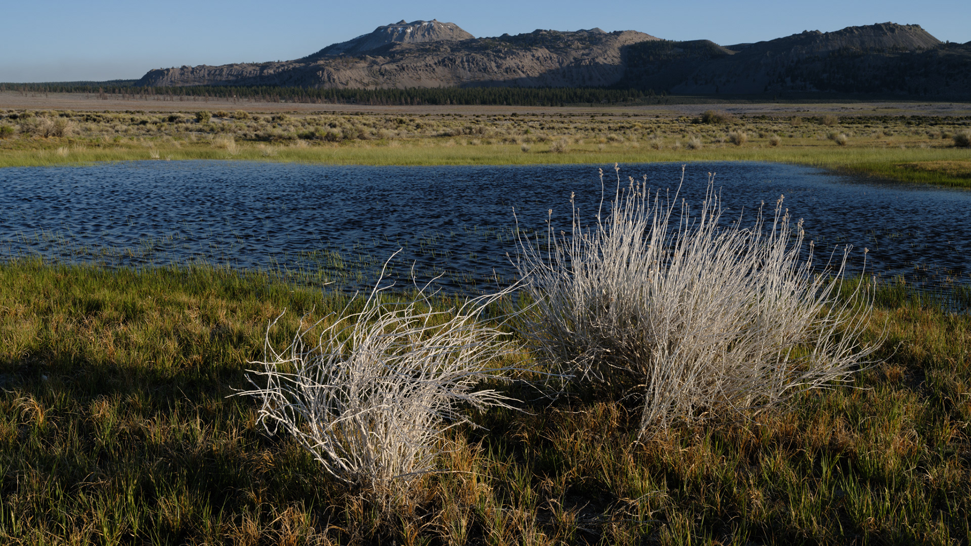
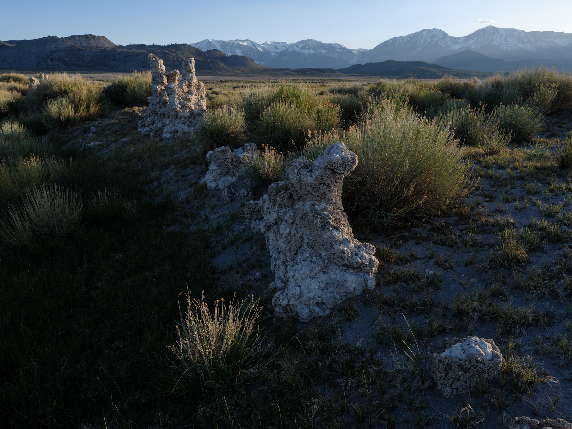
Vernal pool with volcanic cones in the distance
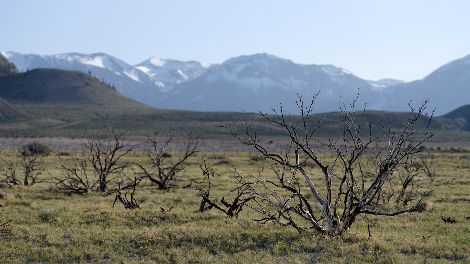
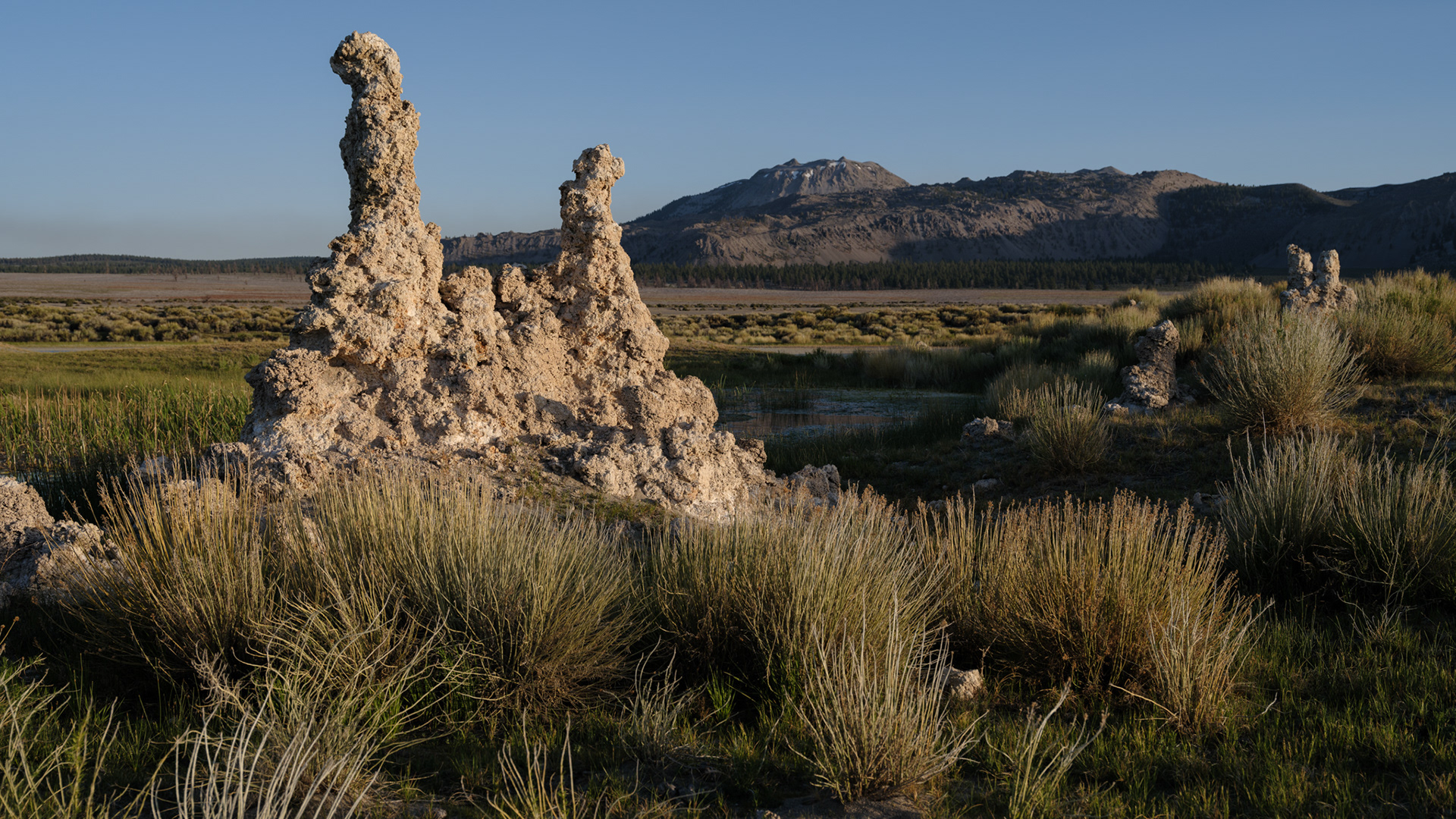
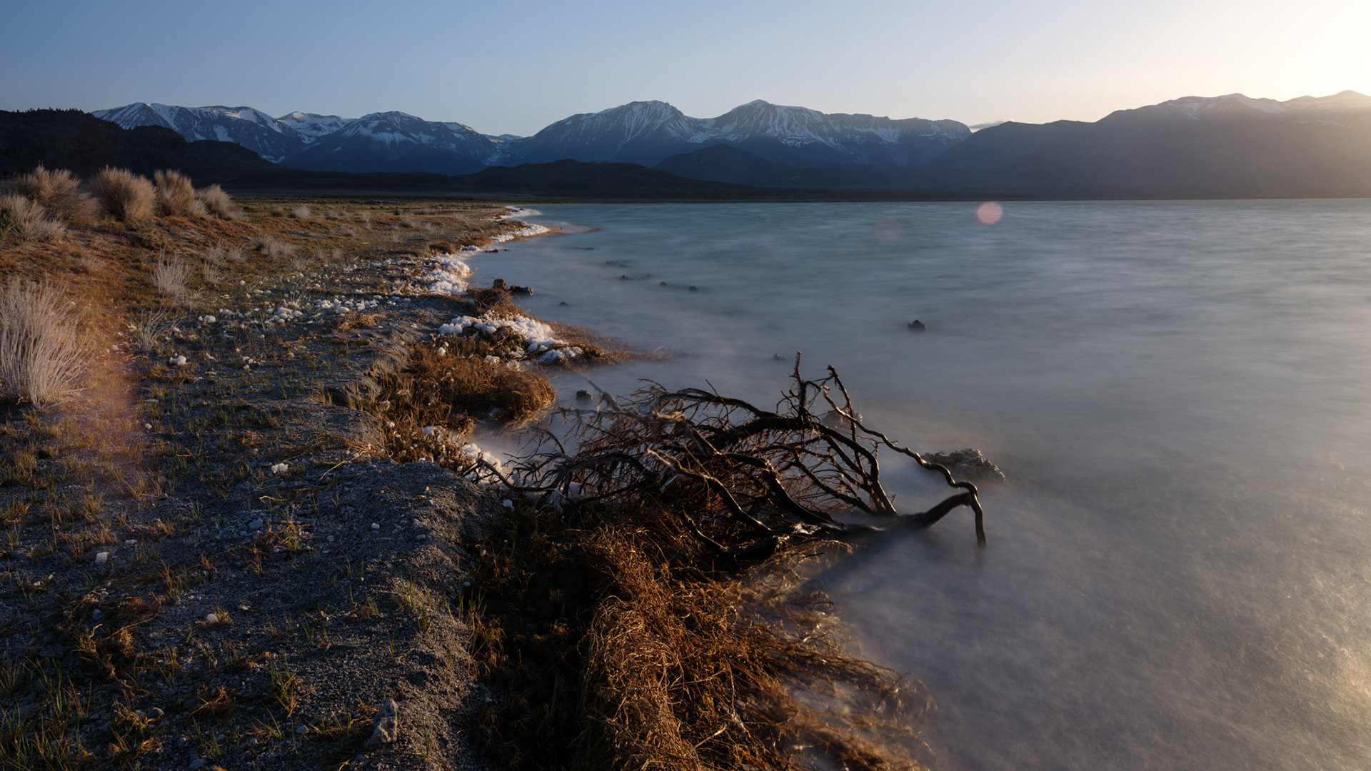
Dead brush scattered along the southern shoreline.
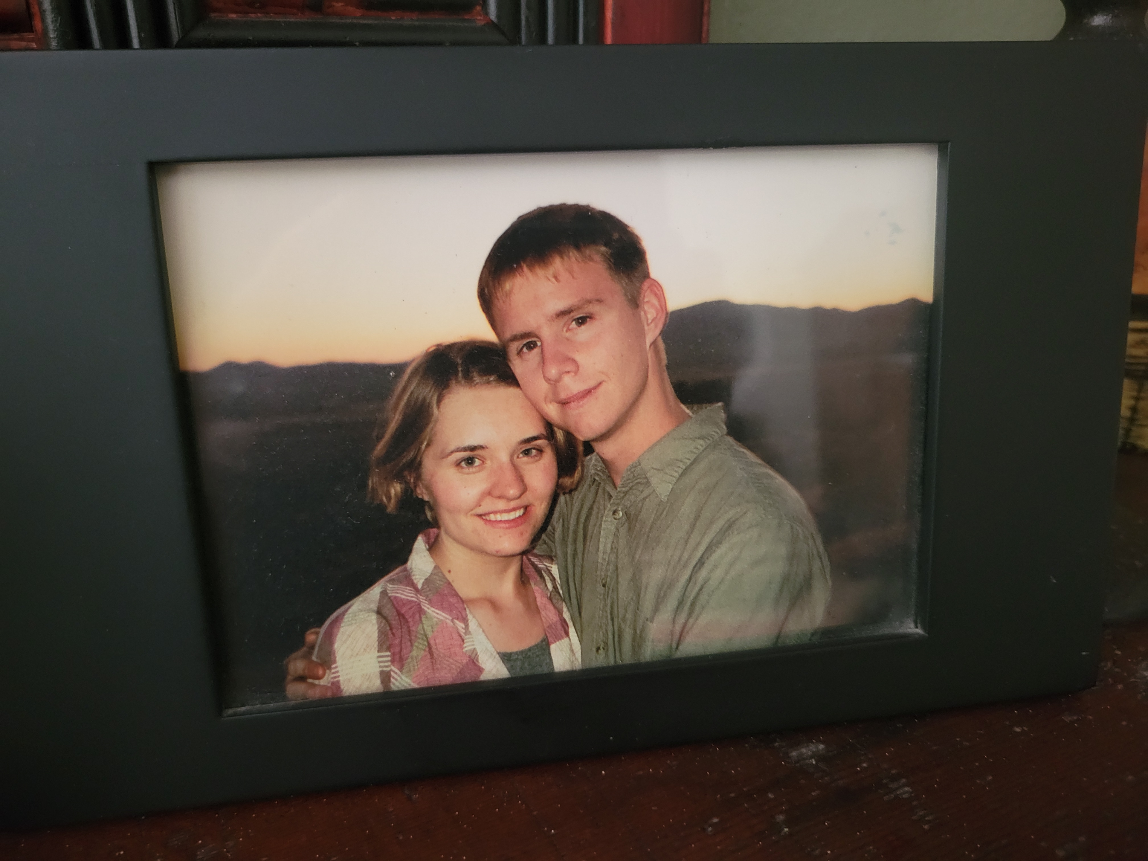
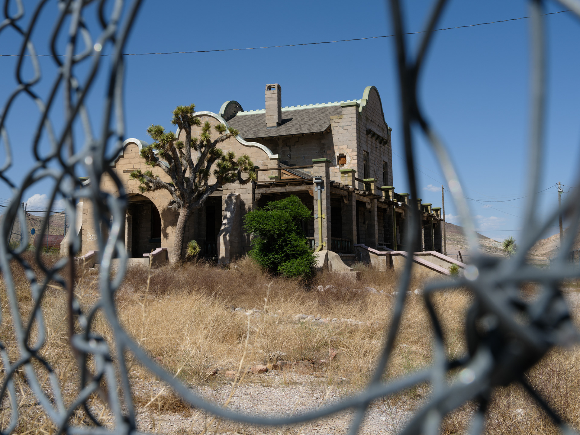
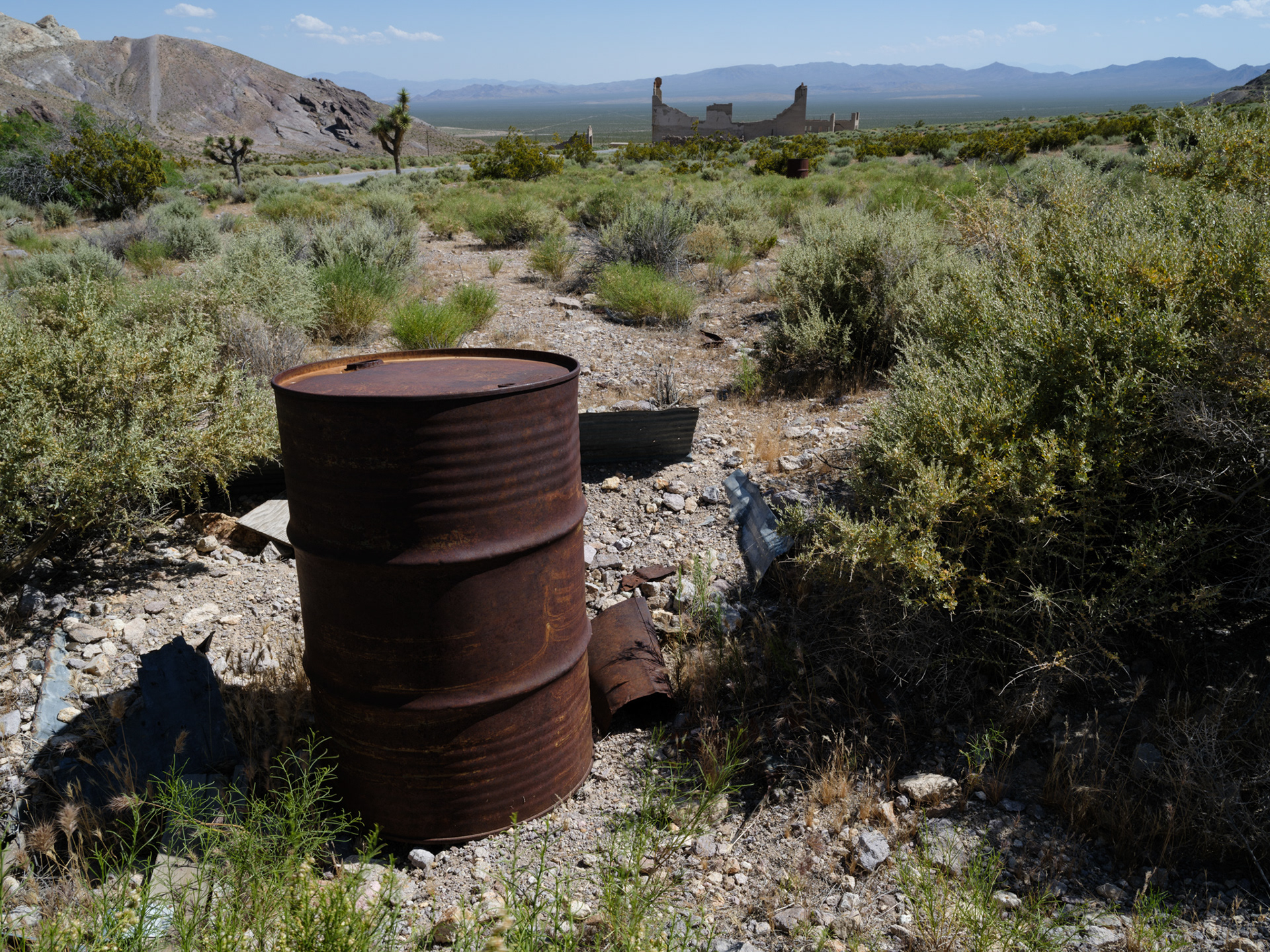
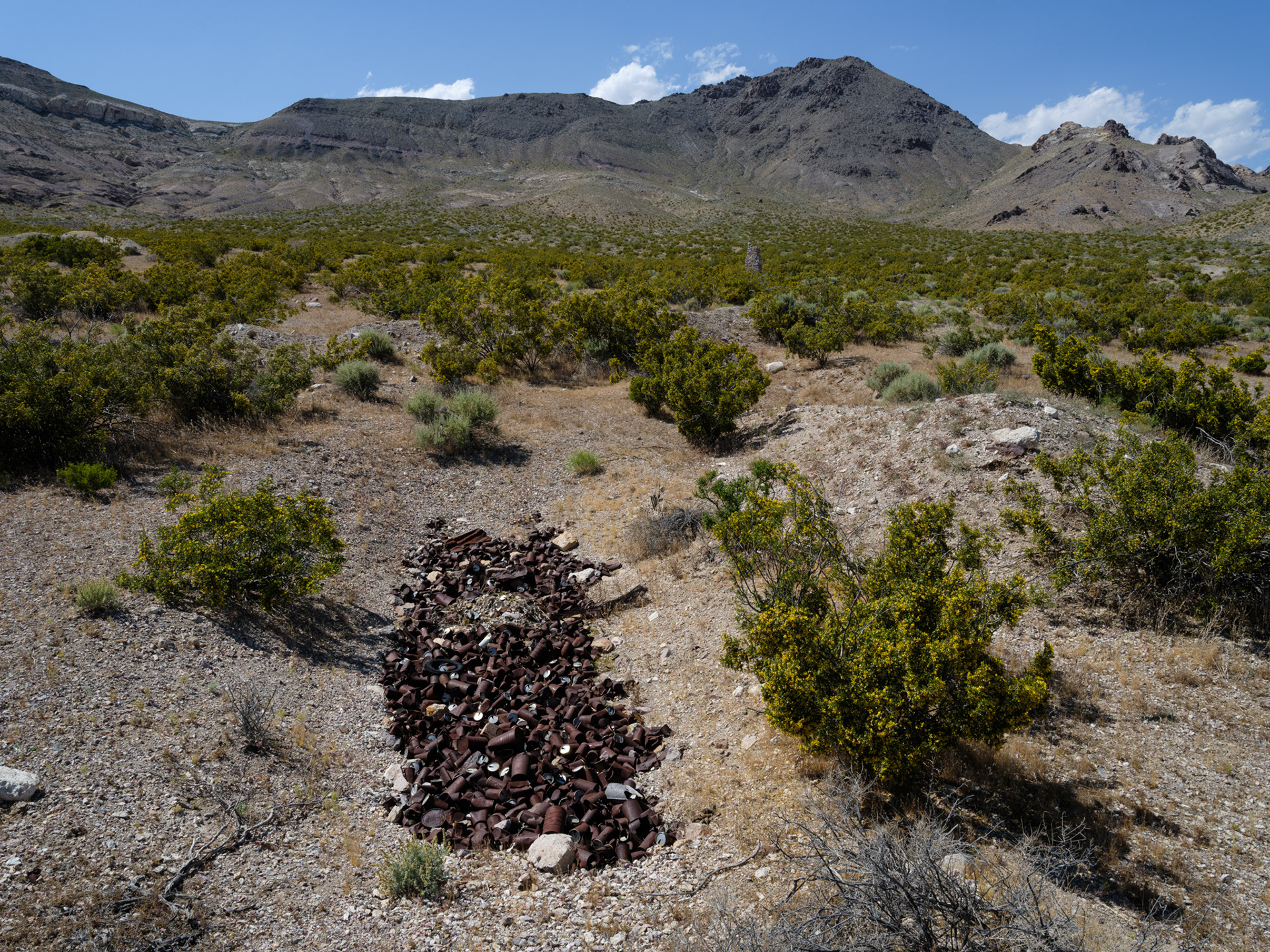
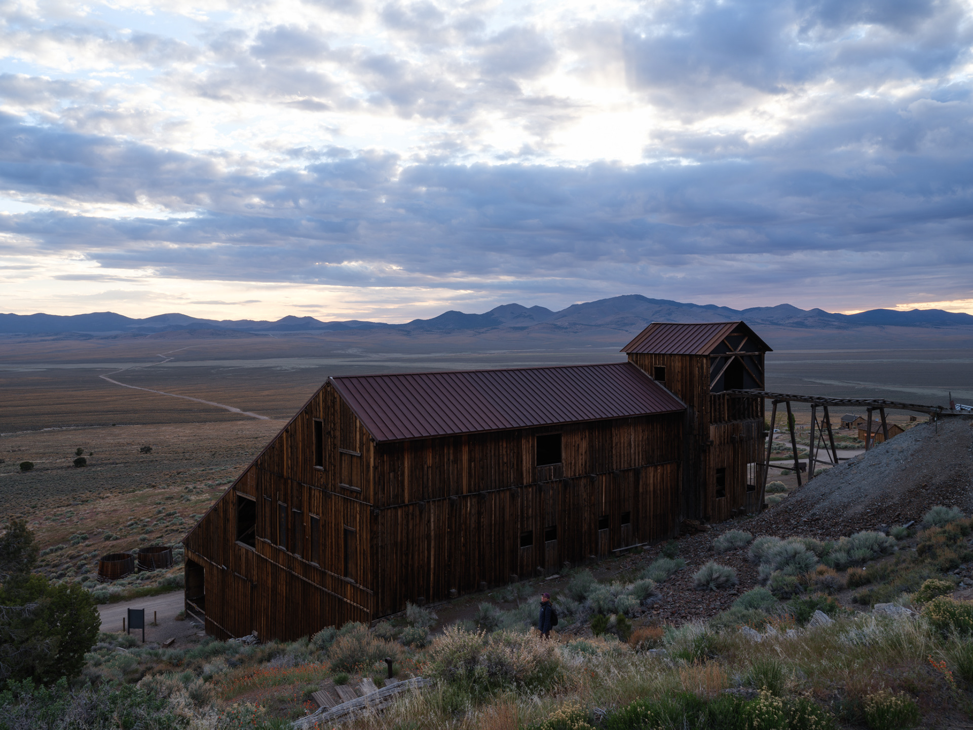
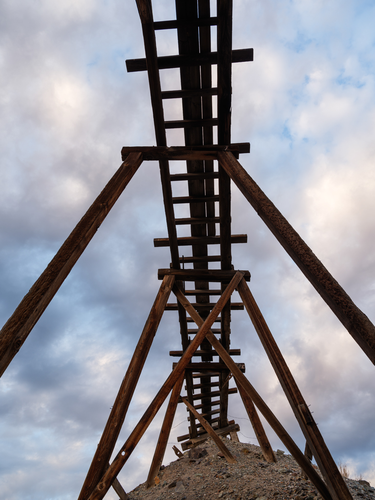
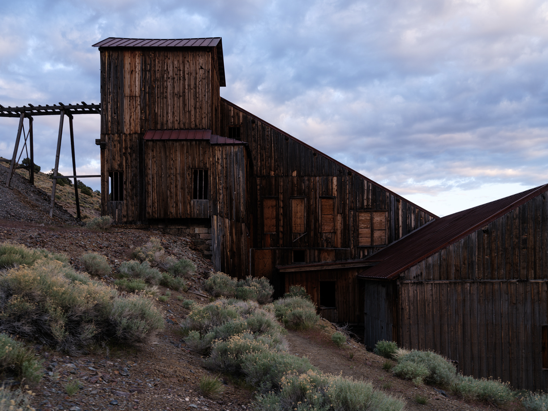
Logan and I at Berlin, NV 1998 (thanks for the photo, Paul!)
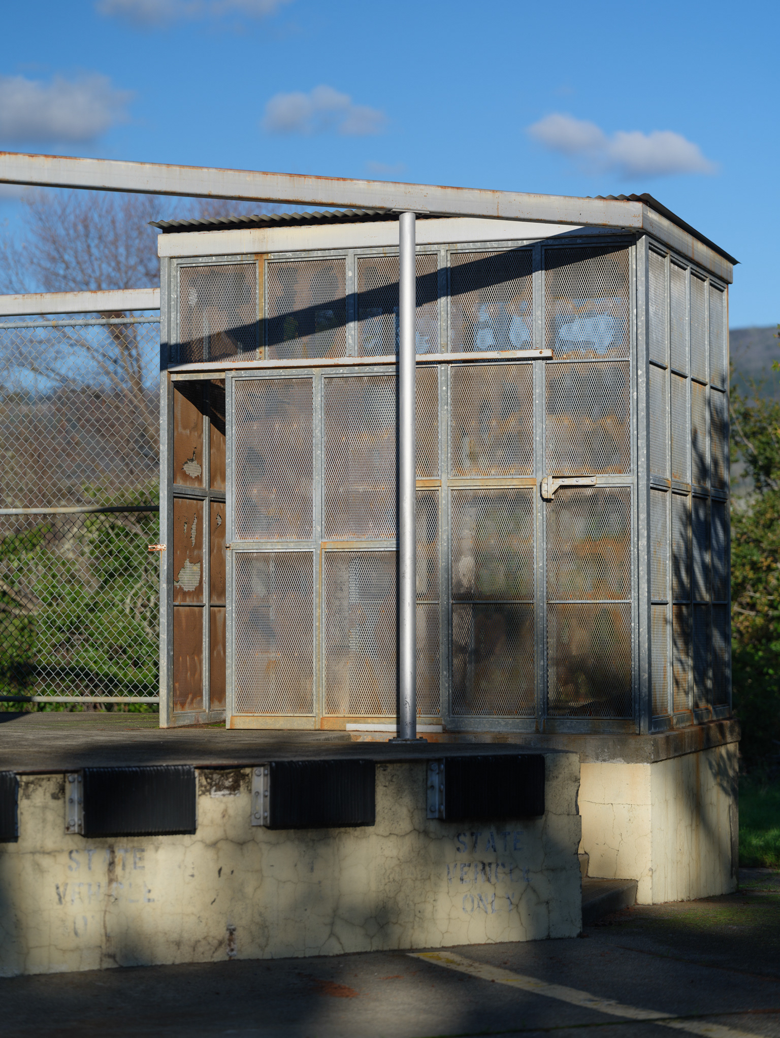
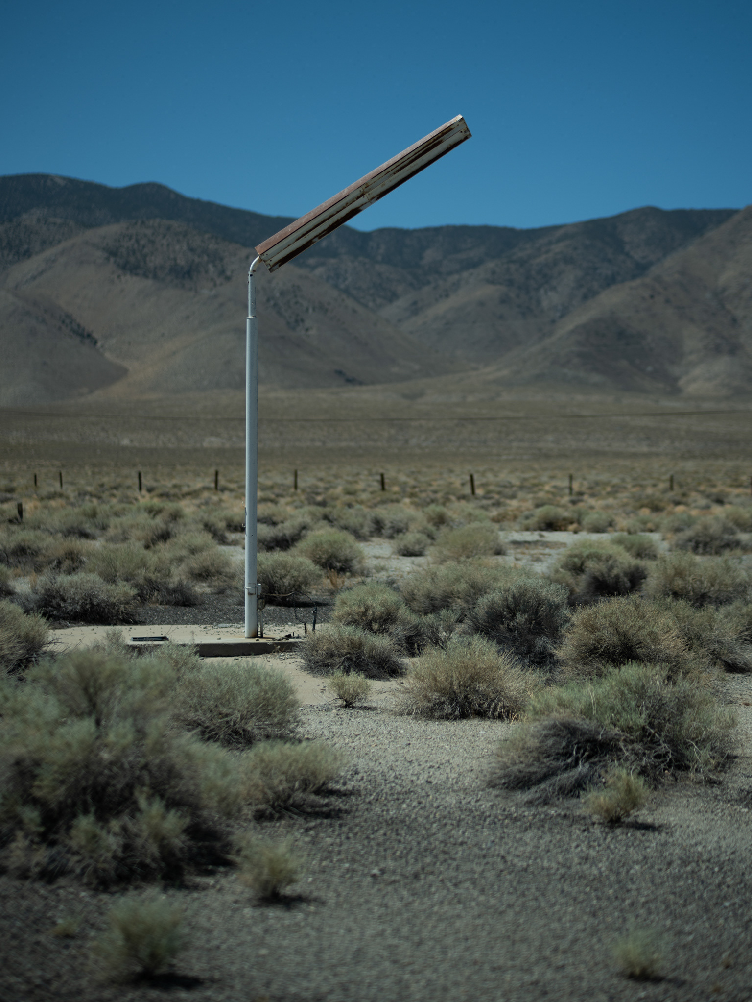
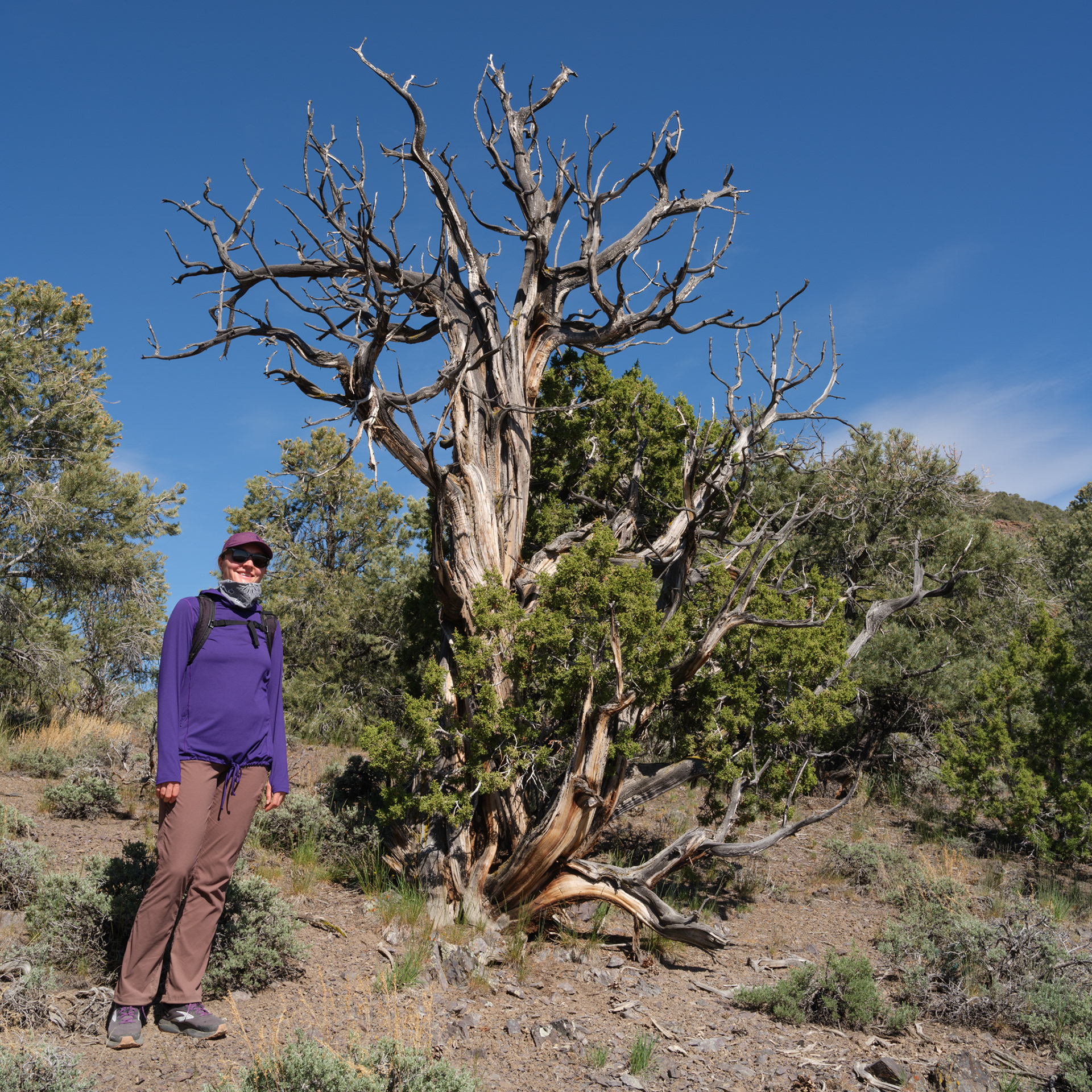
I can confidently say this is a nothingburger of a photo, but it felt great to stretch the legs again.
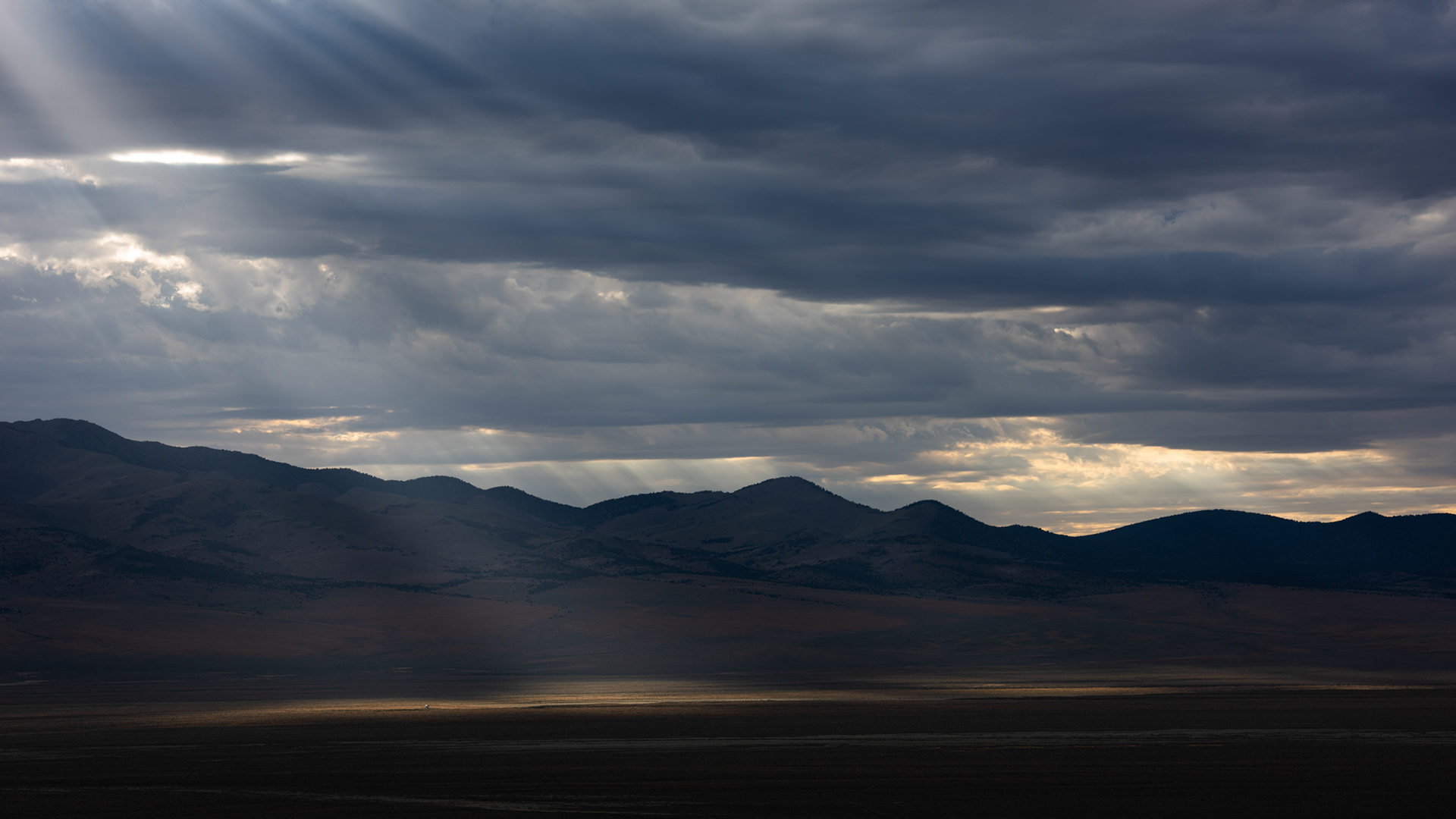
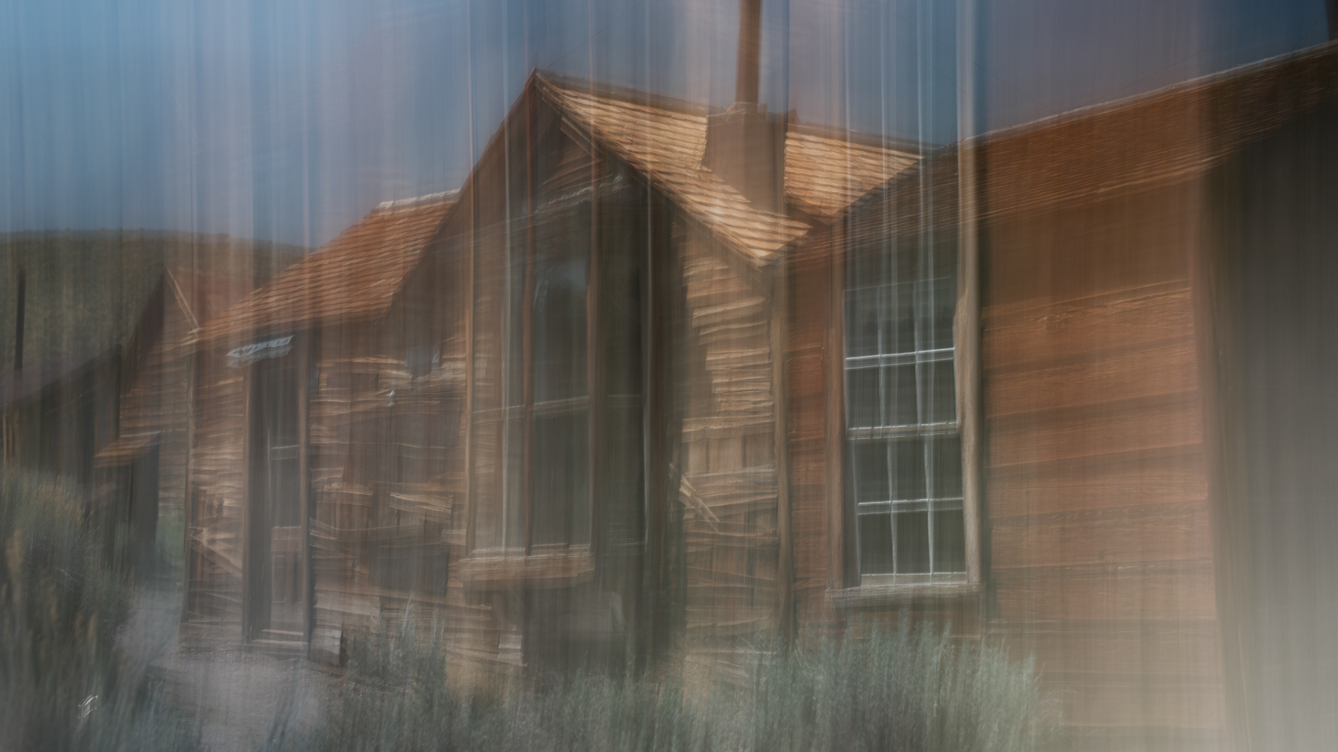
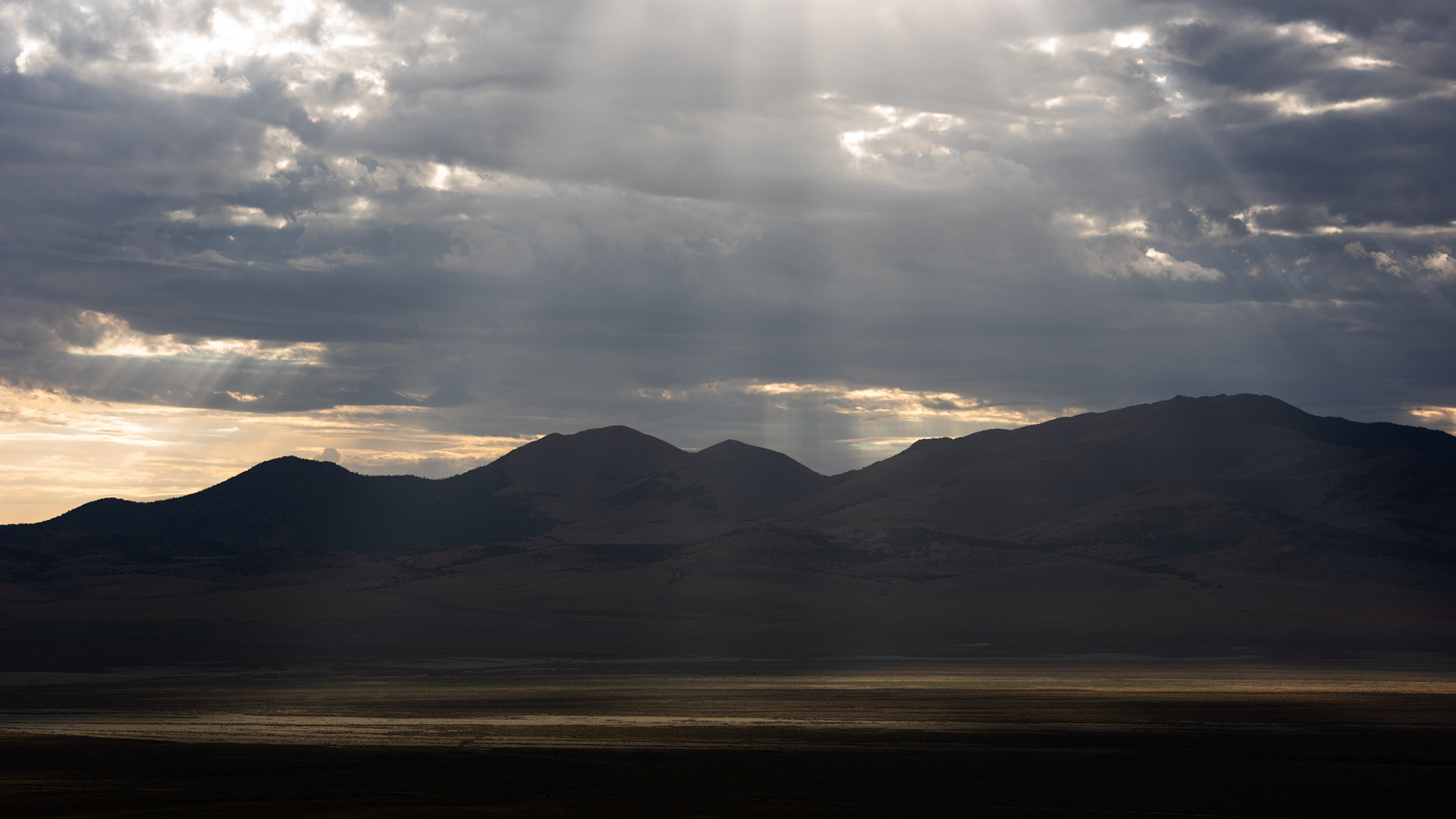
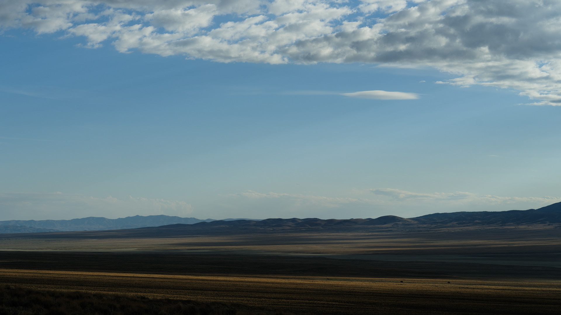
Raining Light
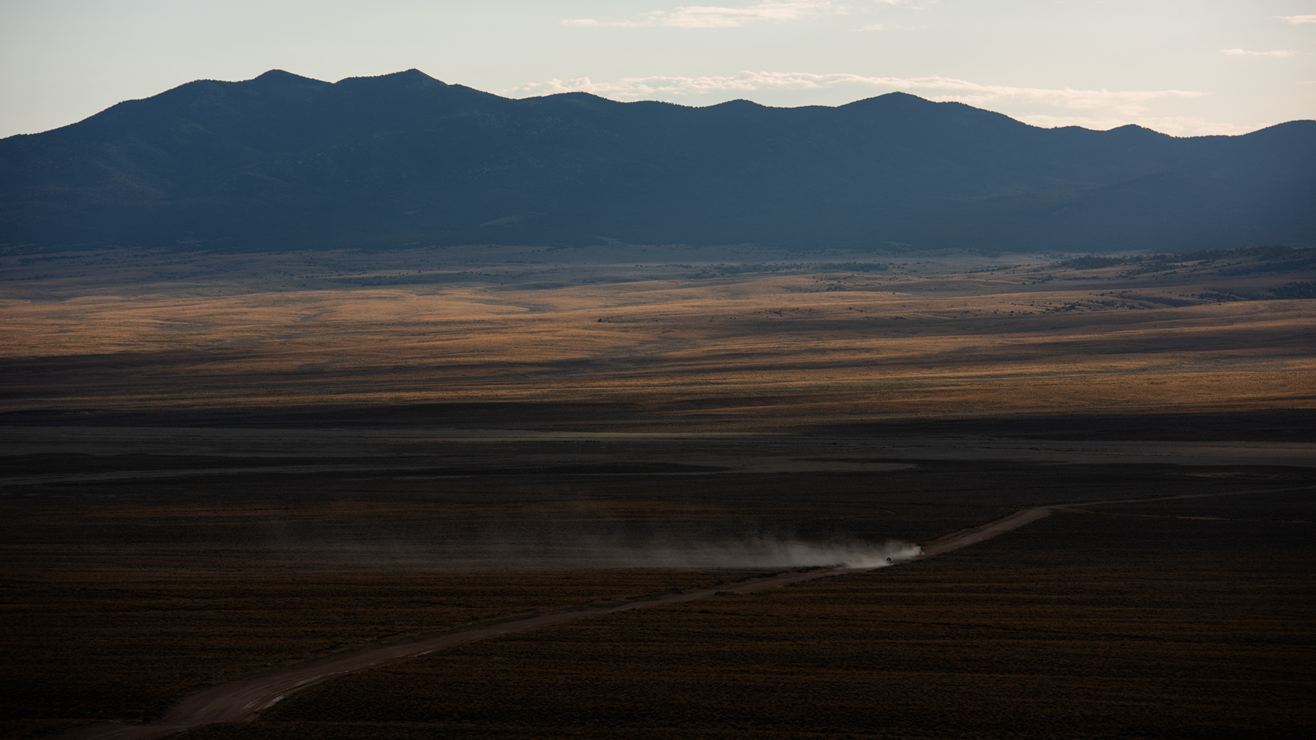
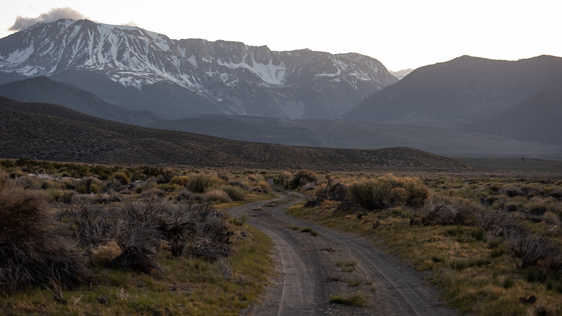
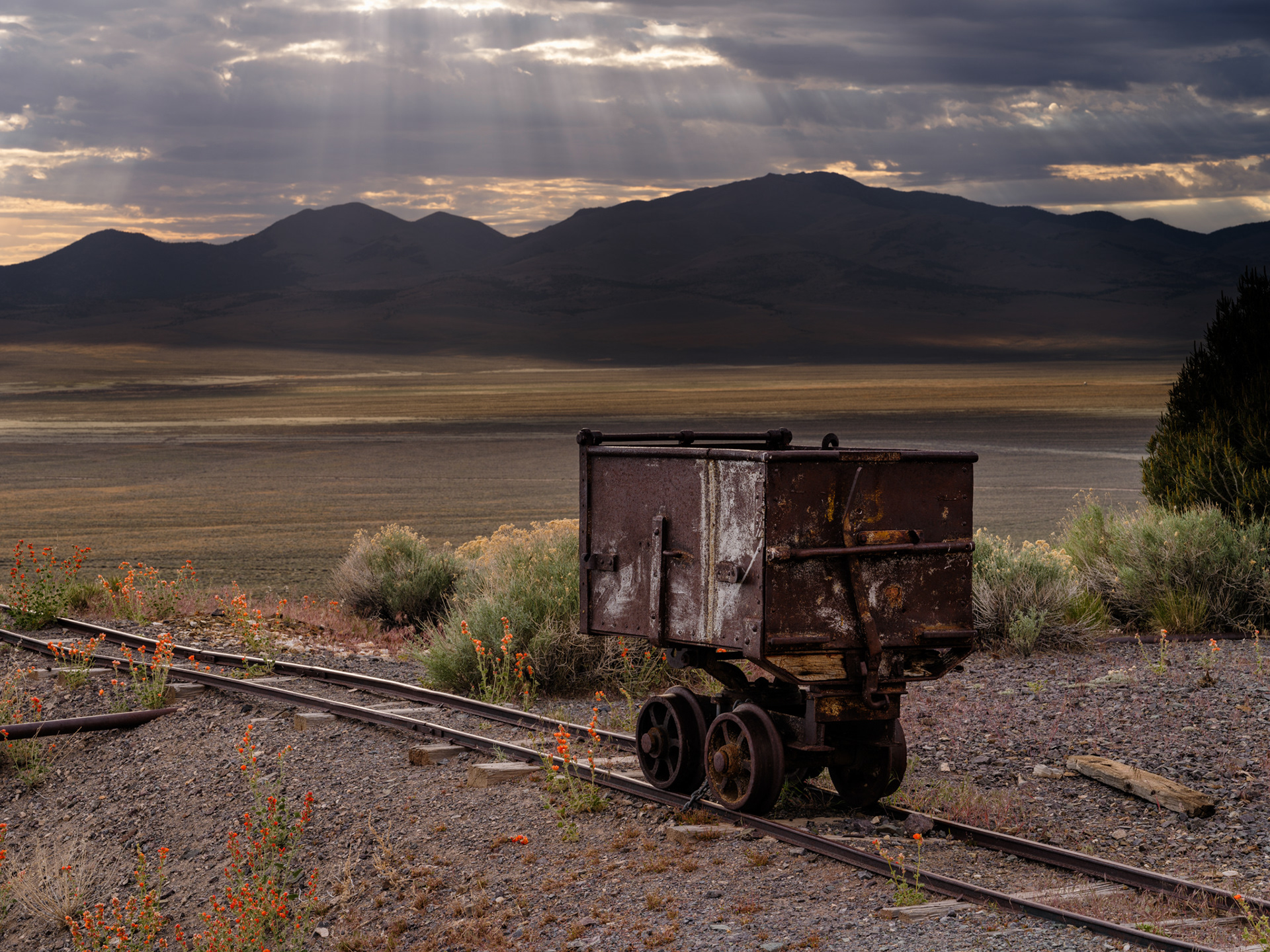
The Dusty Road

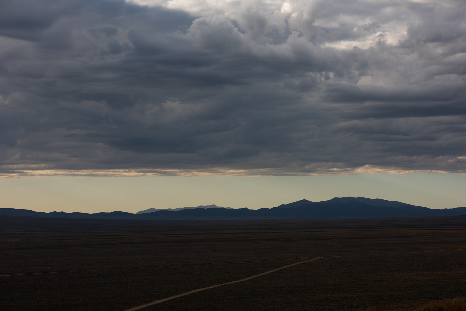
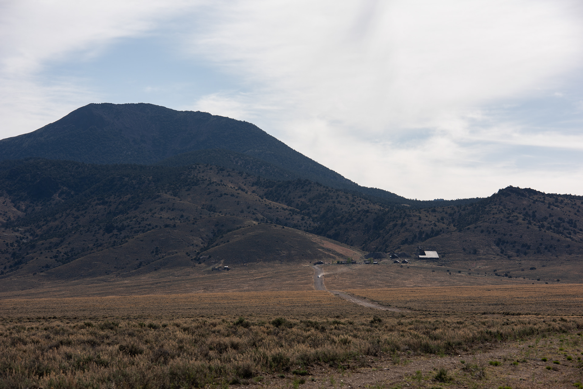
Lonely Desert Road


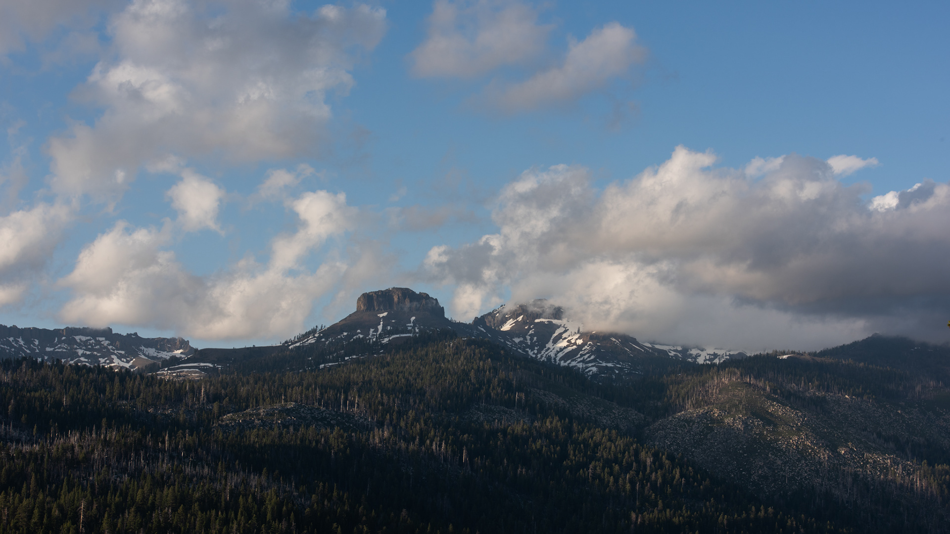
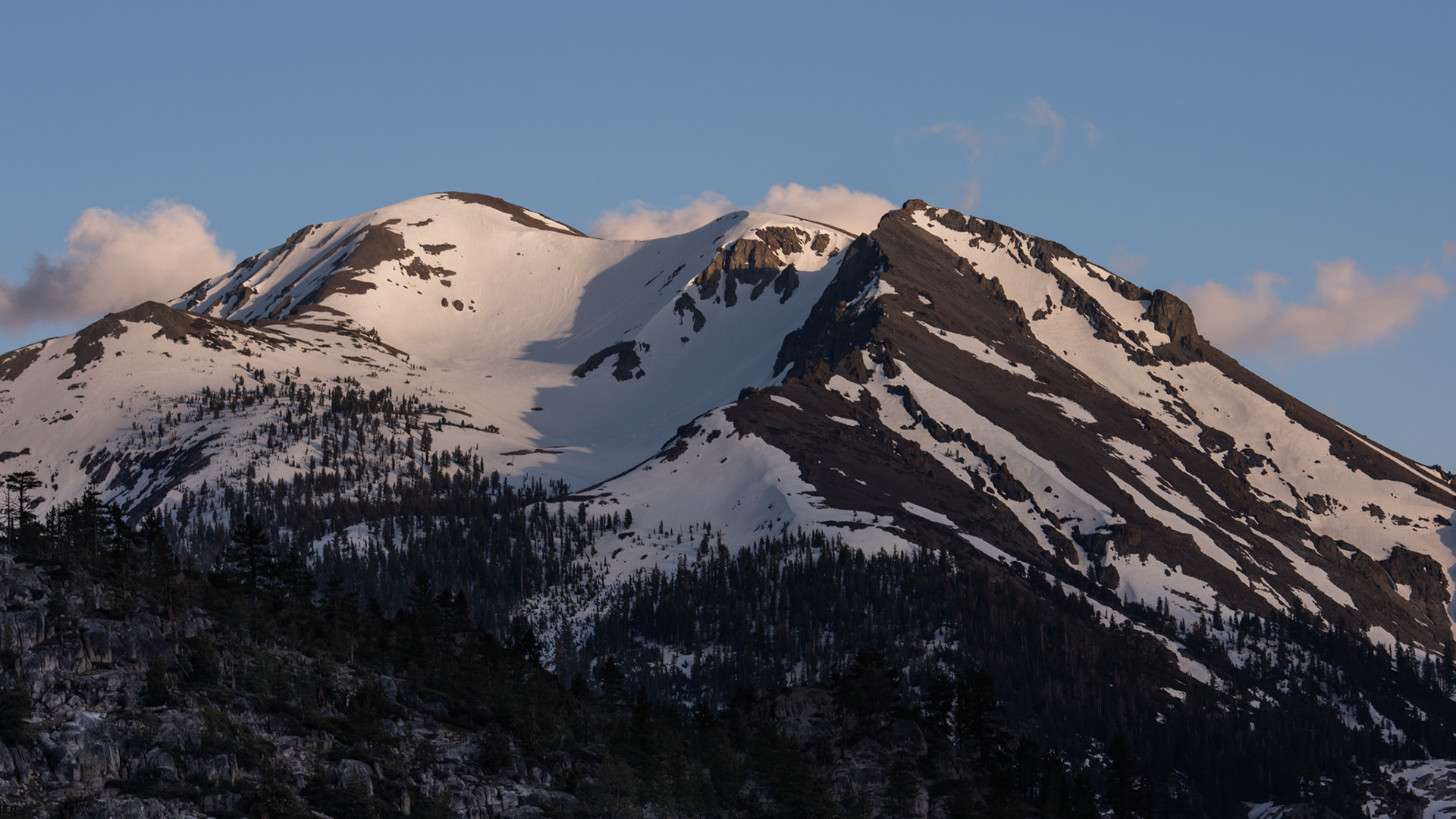
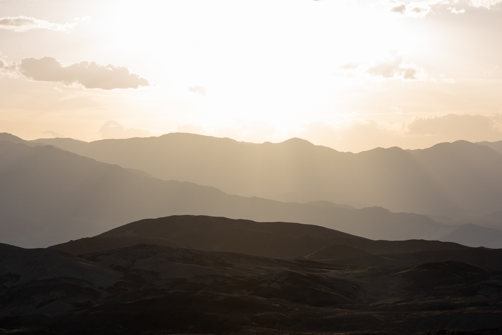
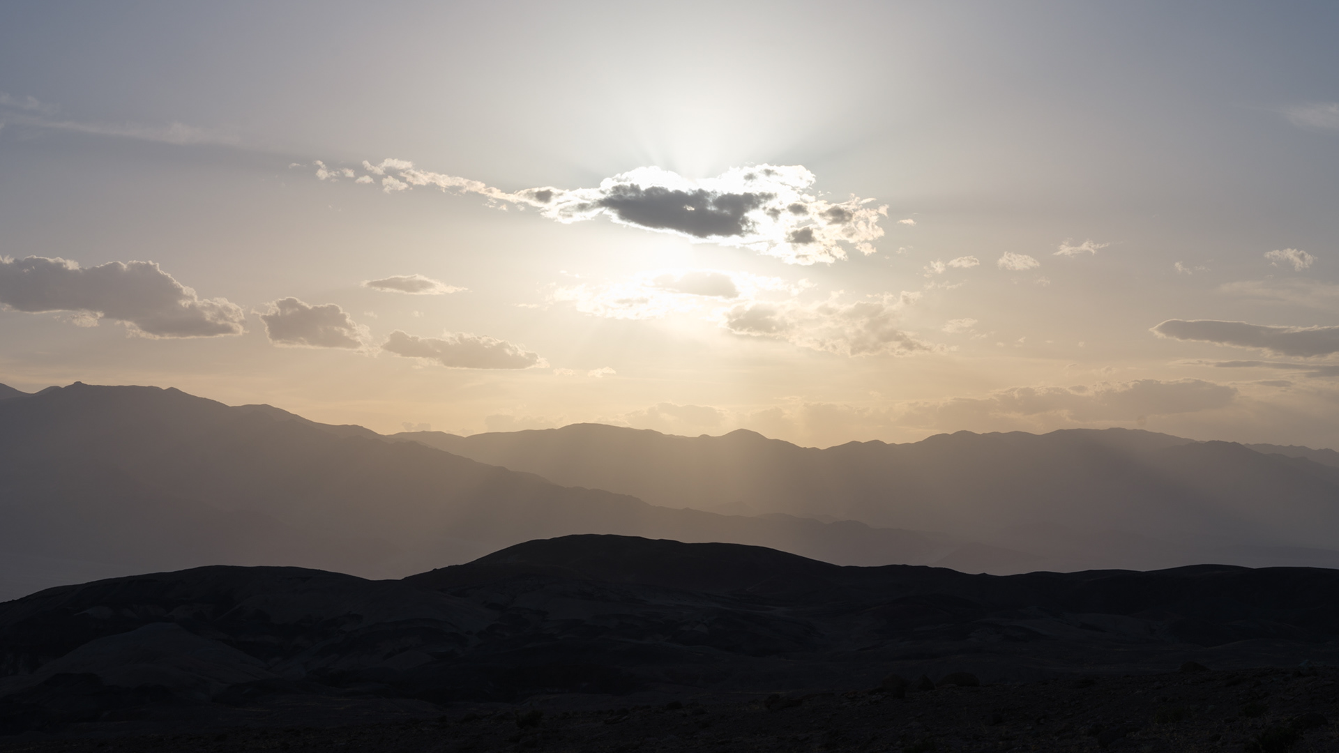
Sun setting behind the mountain and below the clouds
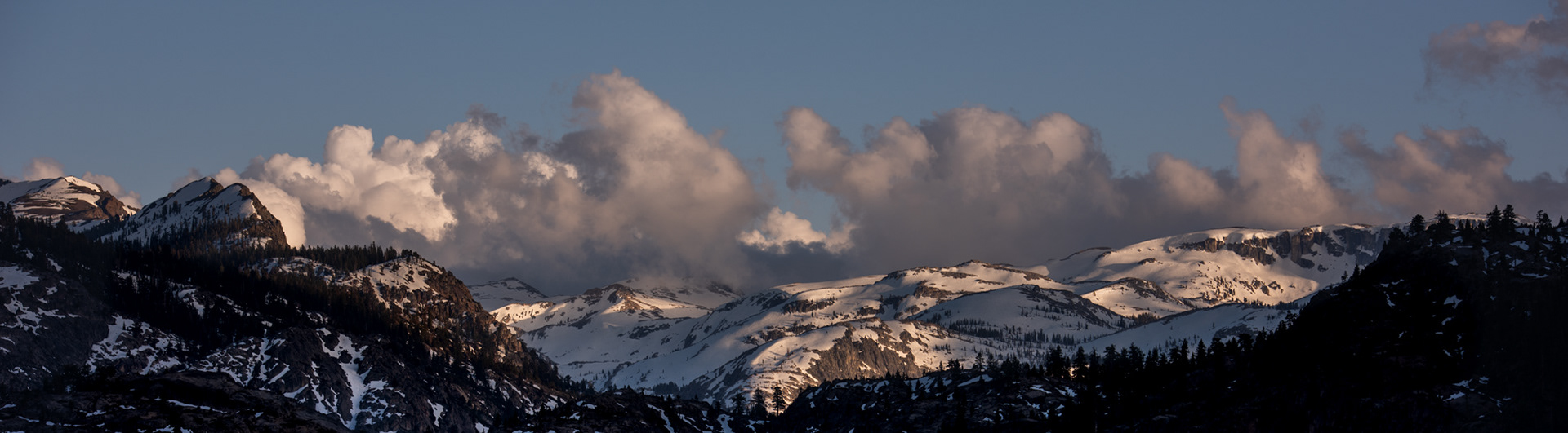
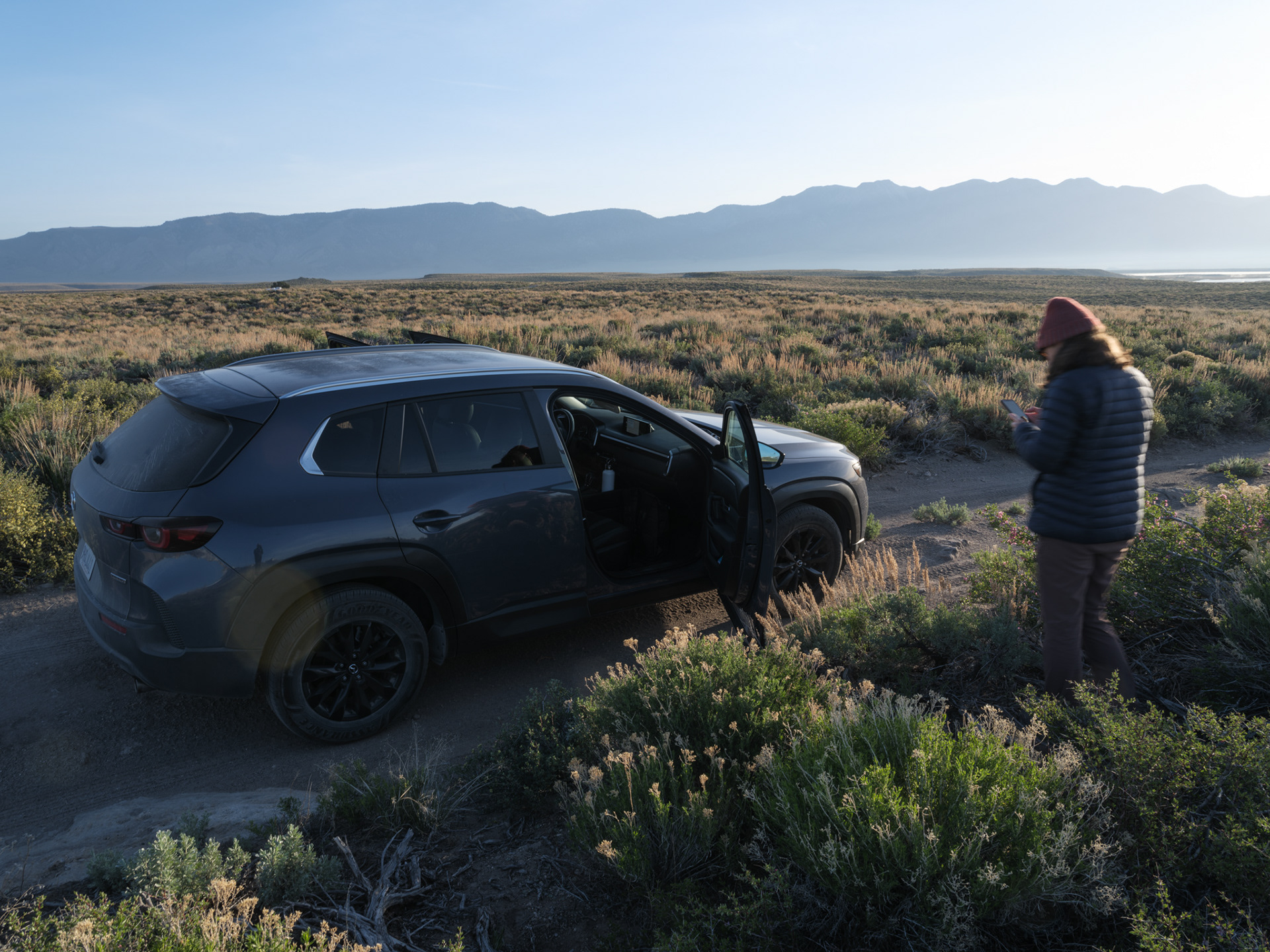
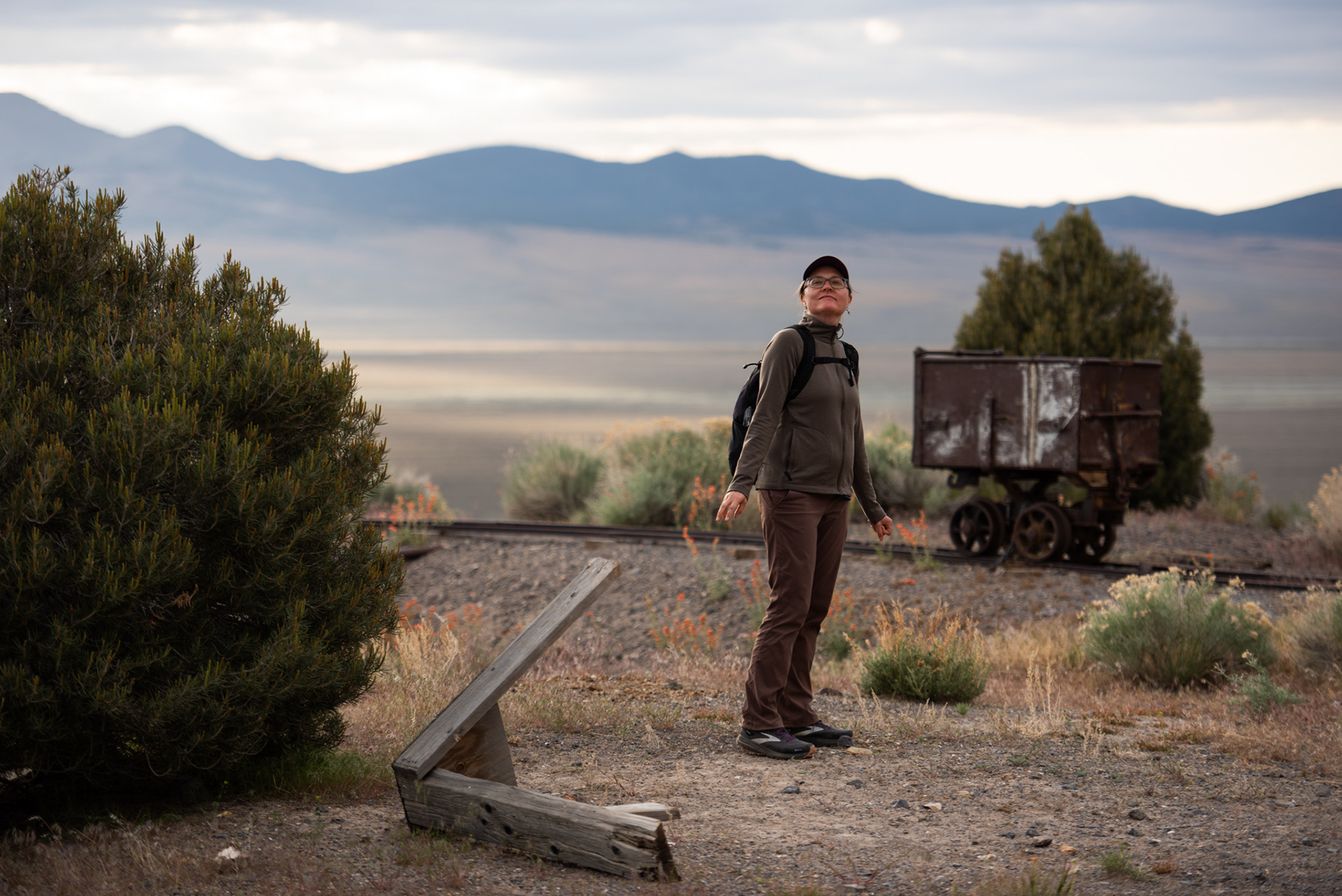
Logan observes the light as I snap the final pic of the evening.