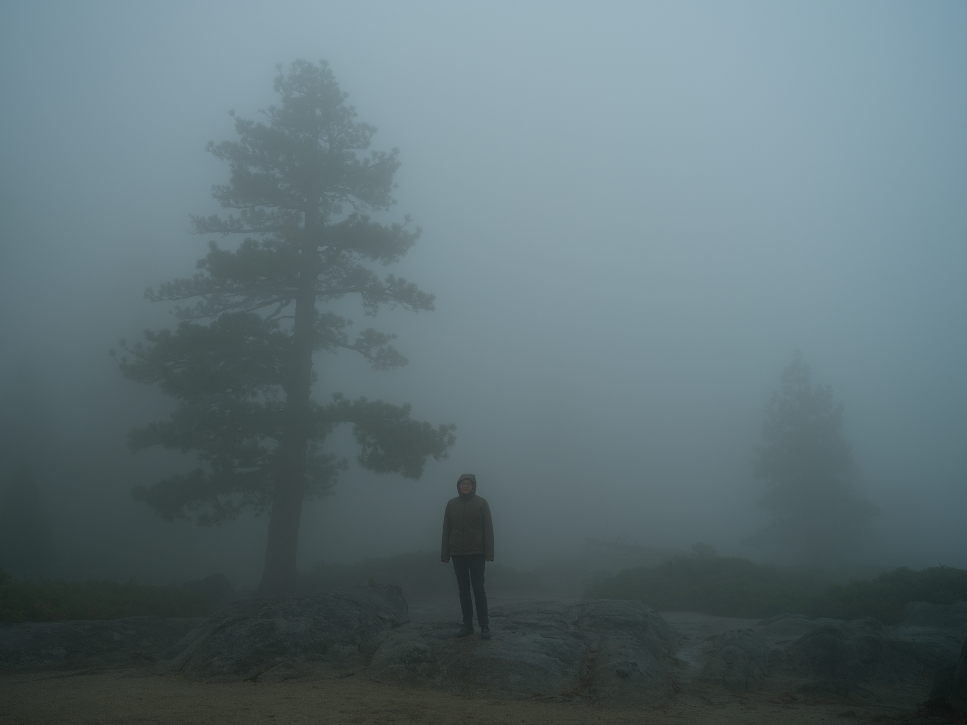
Unsurprisingly, we were the only people that had pulled into this vista point. I thought the lack of views made it quite moody!
Granite Views from Sonora Pass
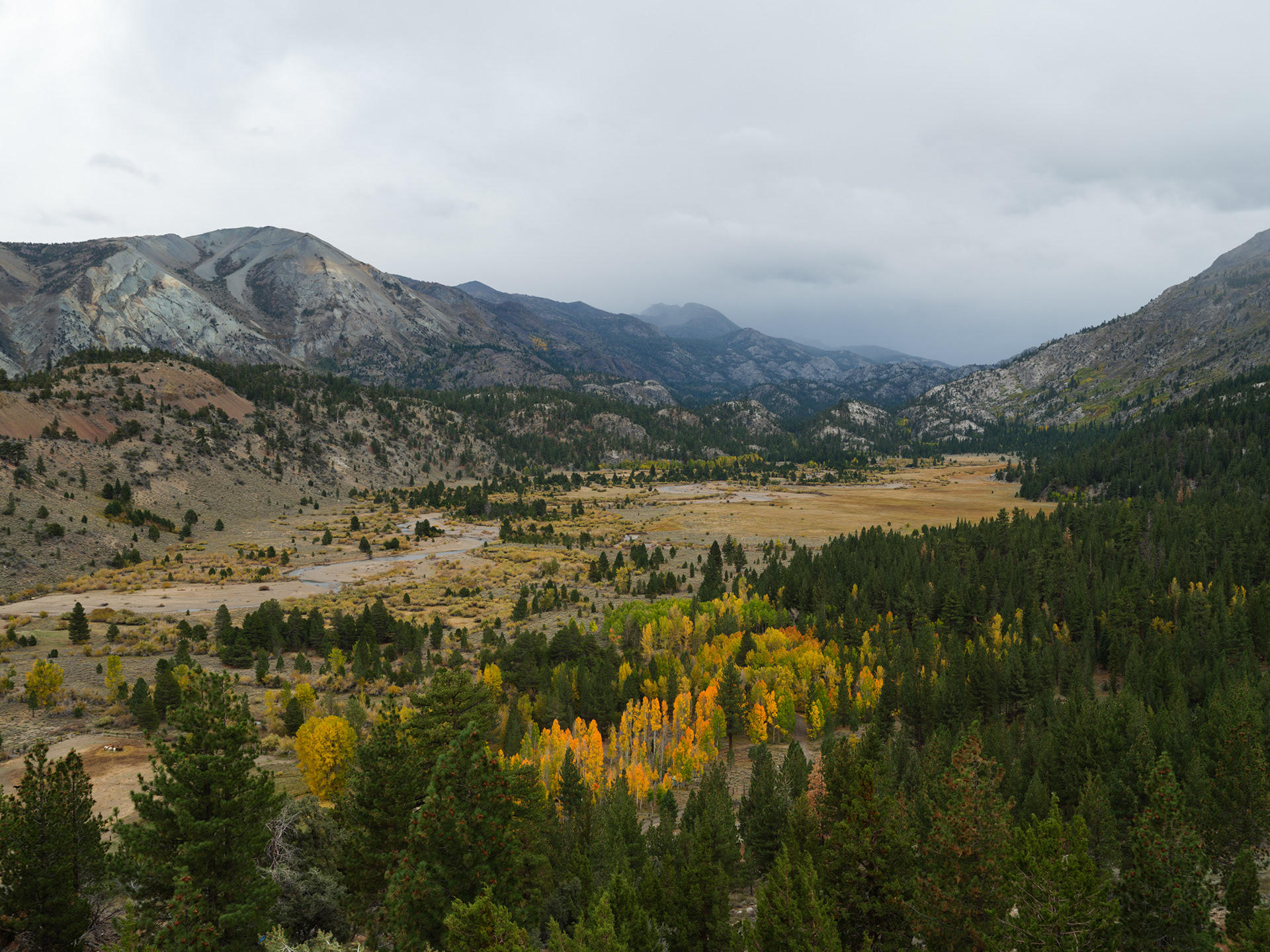
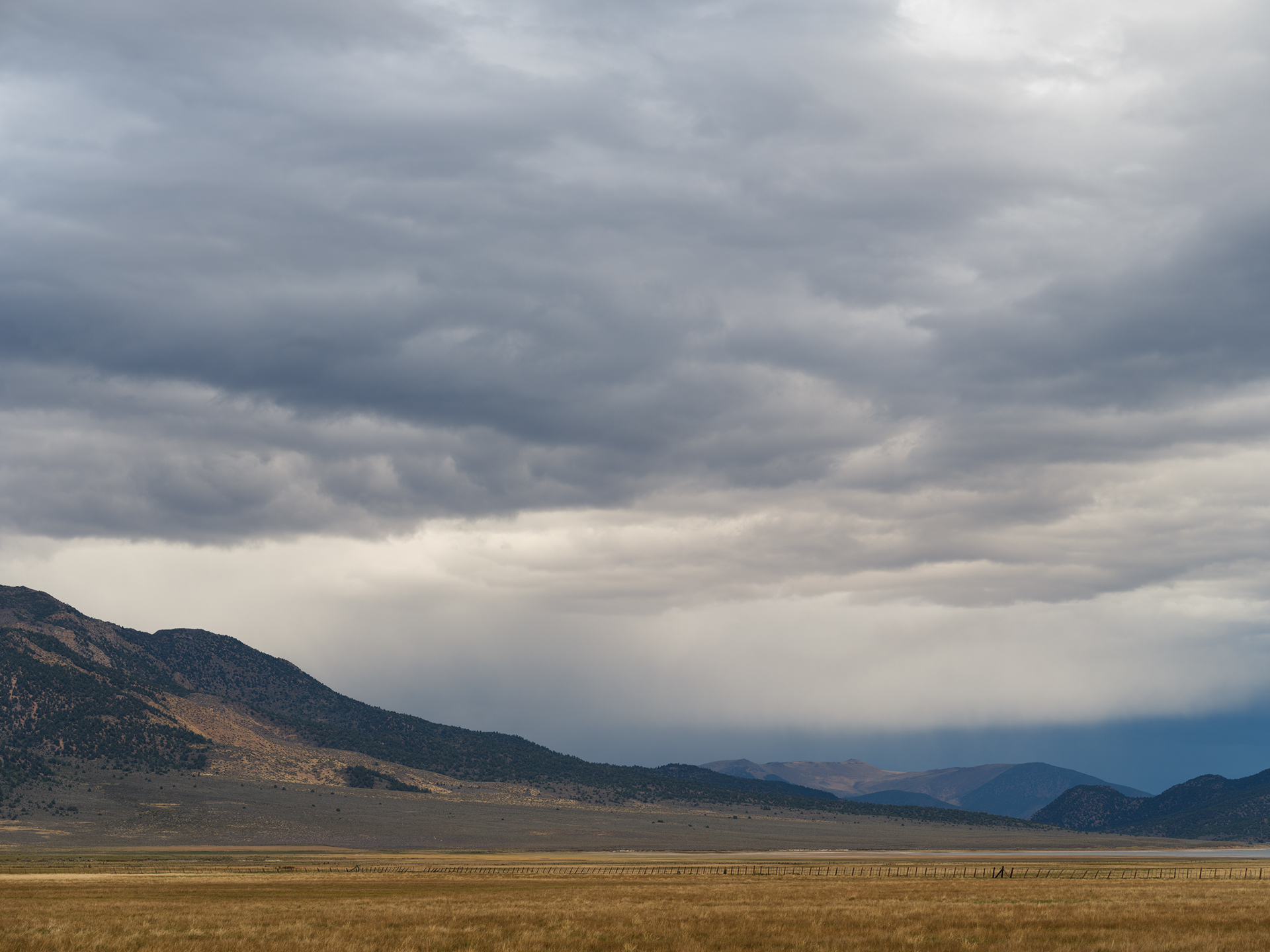
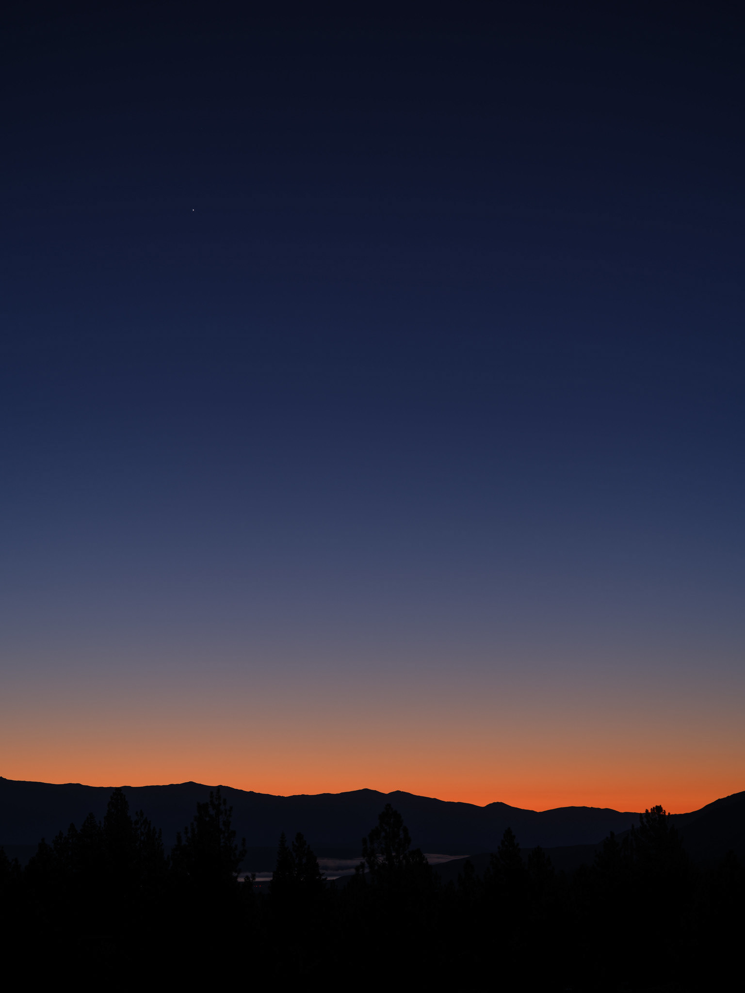
Leavitt Meadows
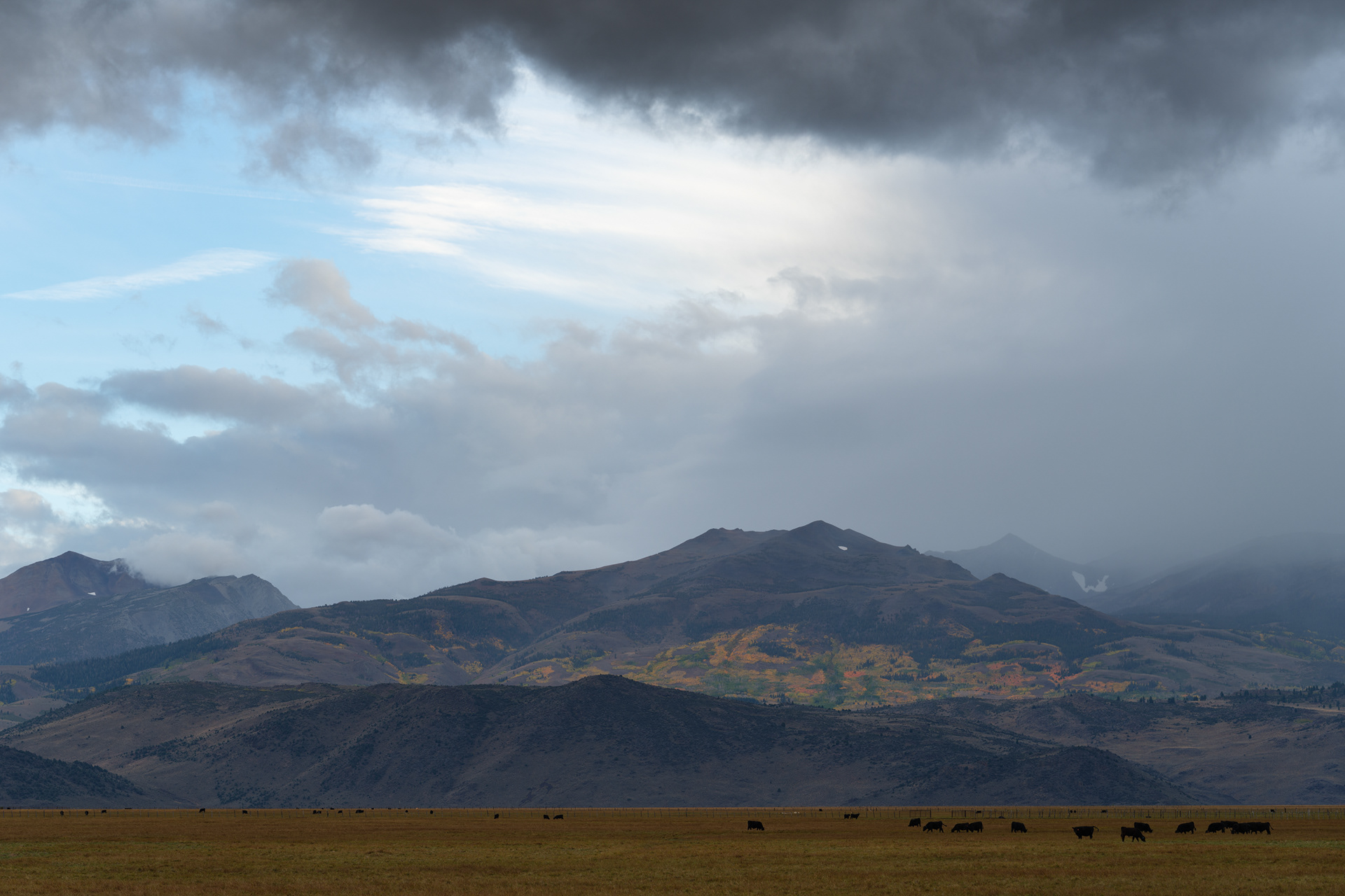
Coming into Bridgeport
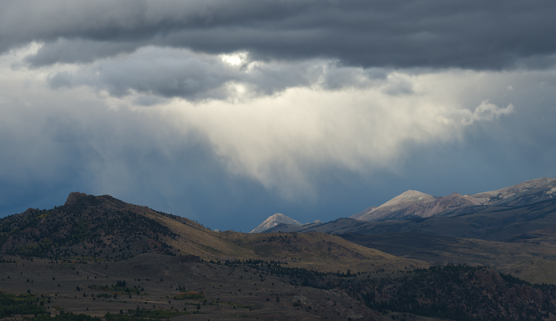
Another view from Bridgeport
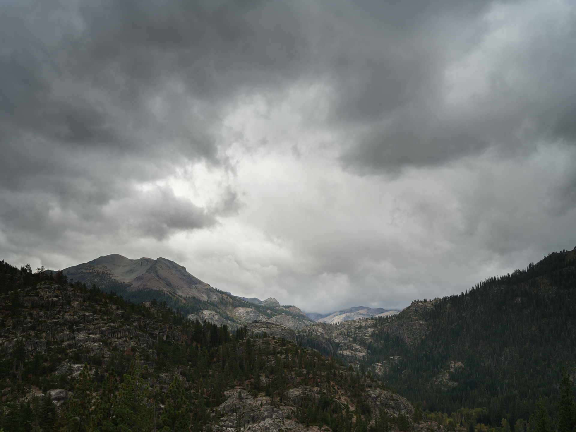
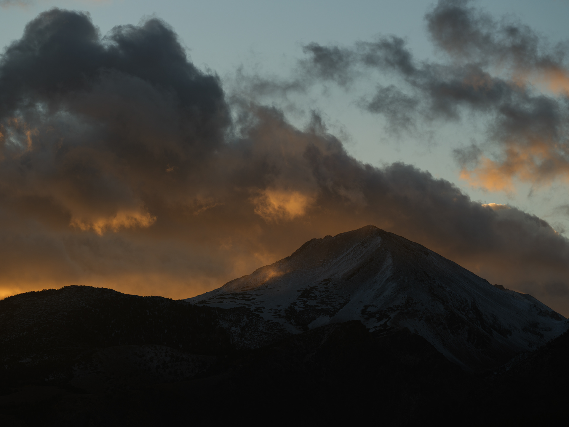
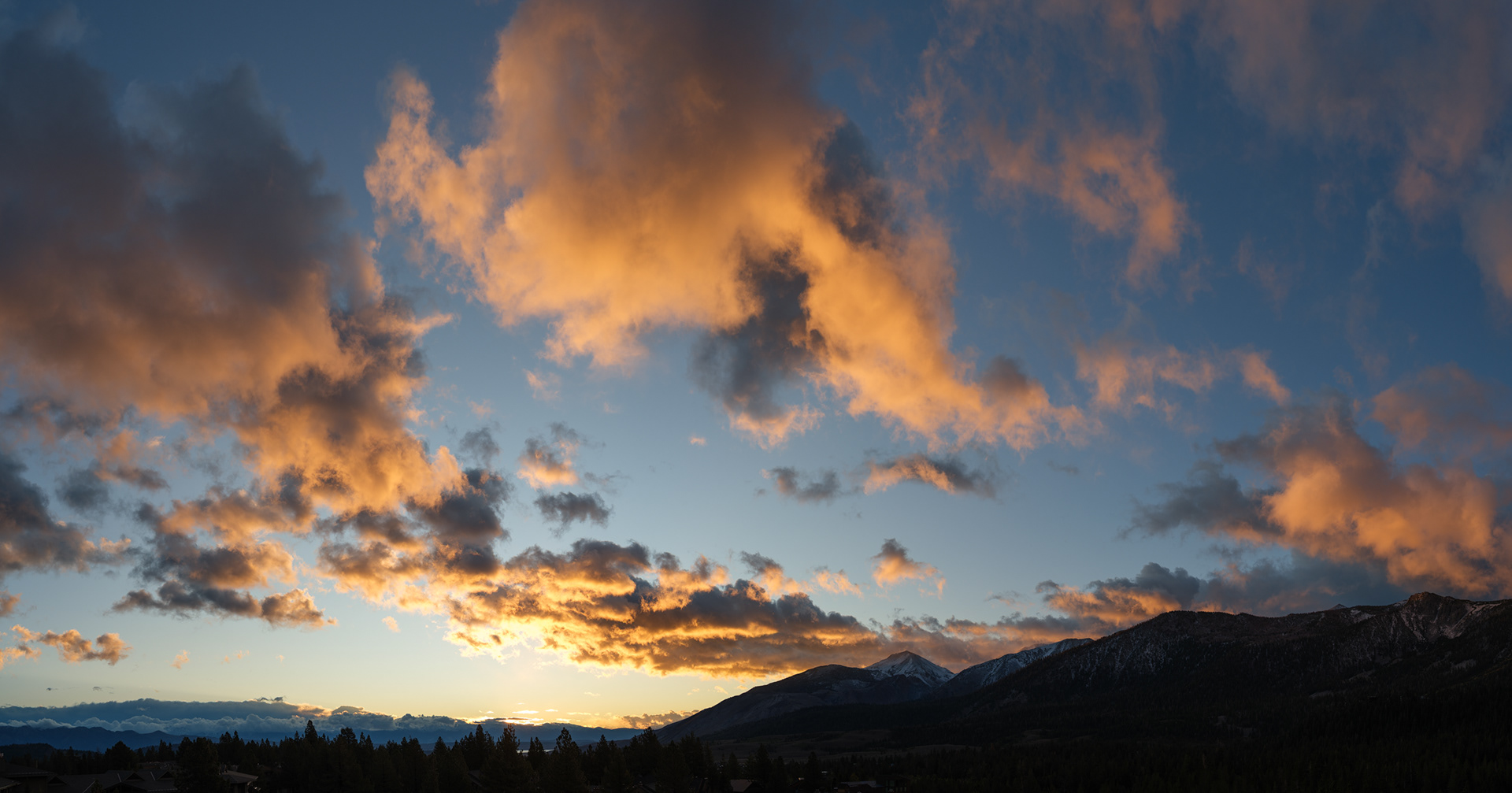
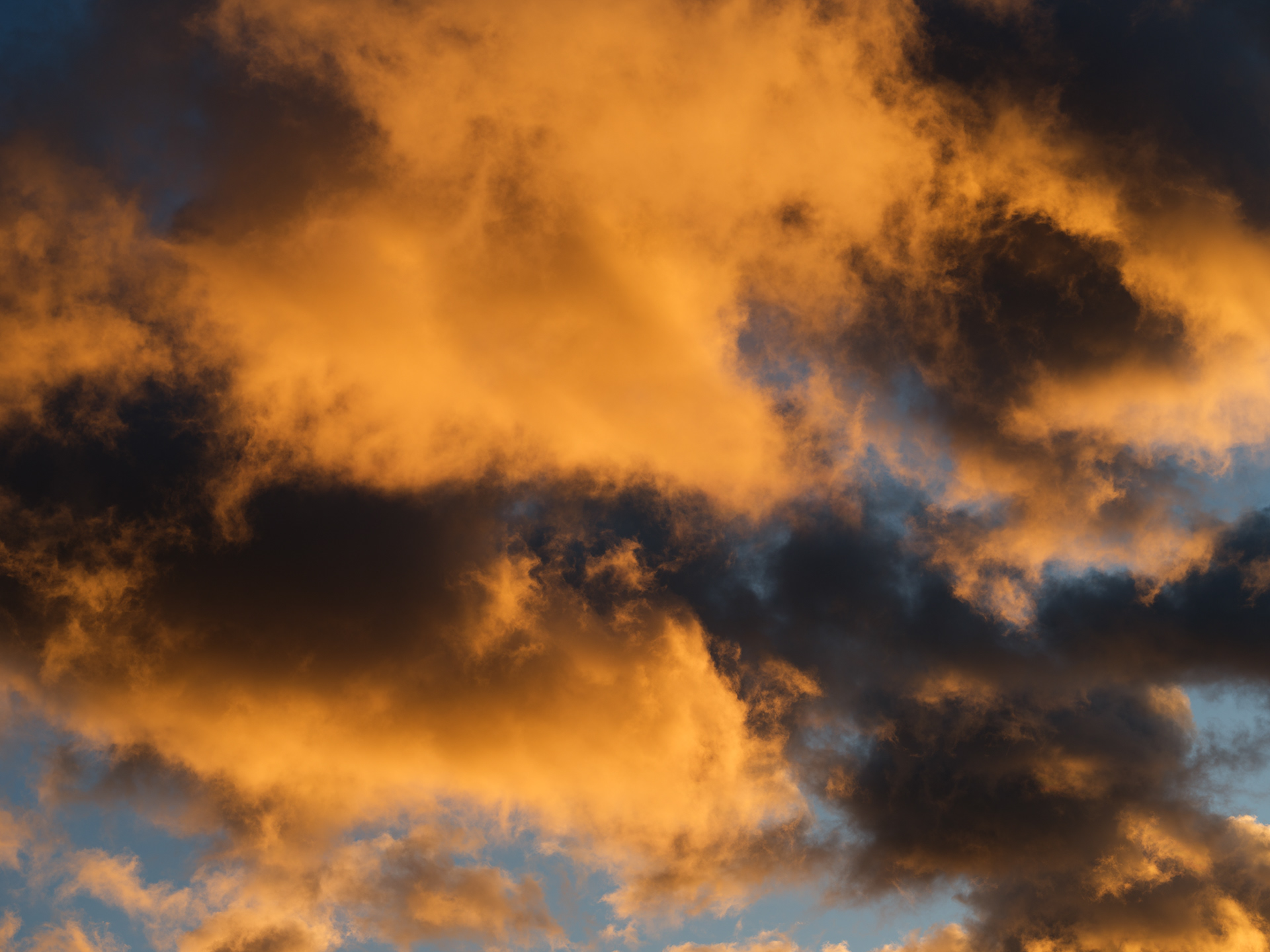
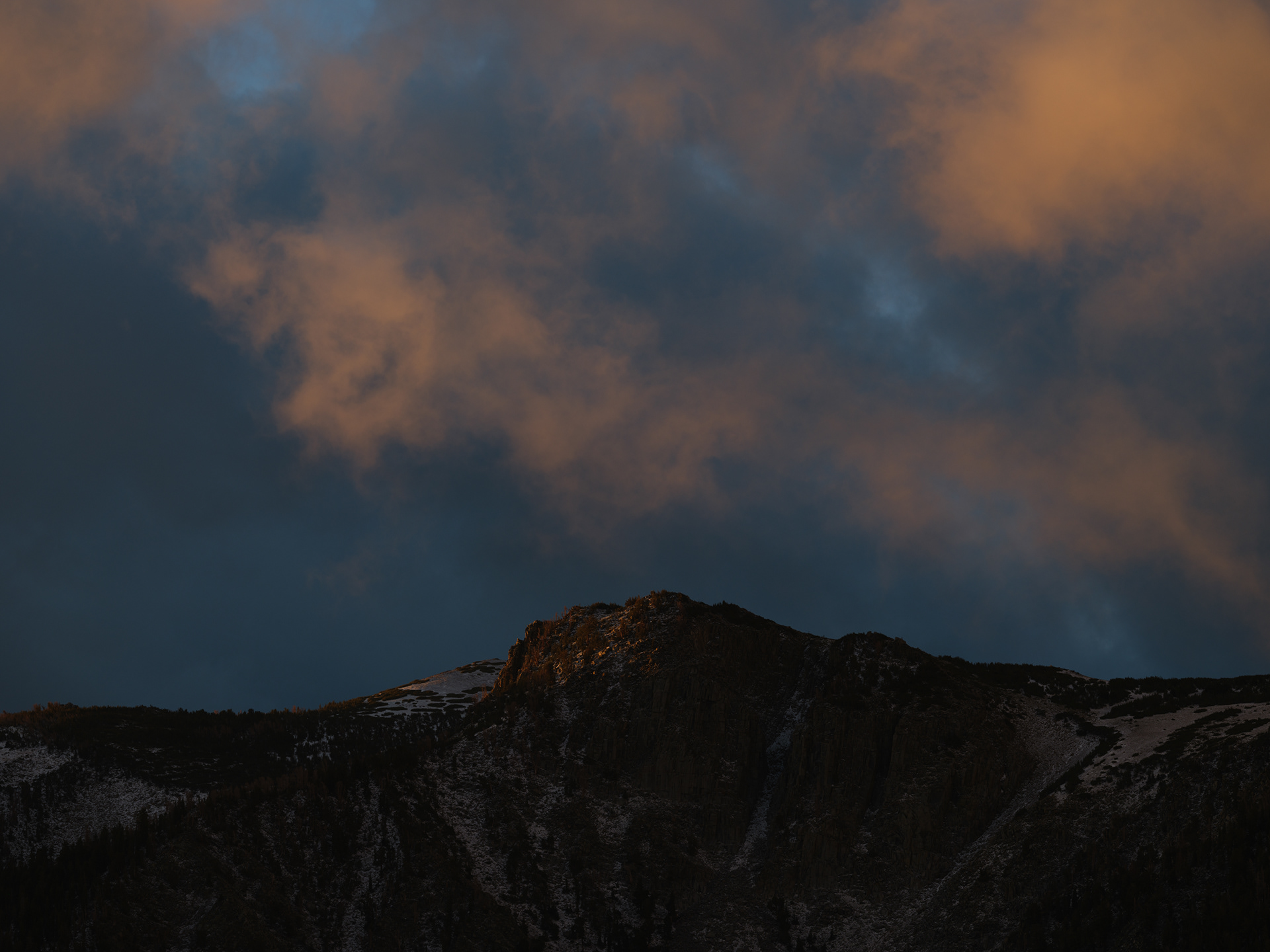
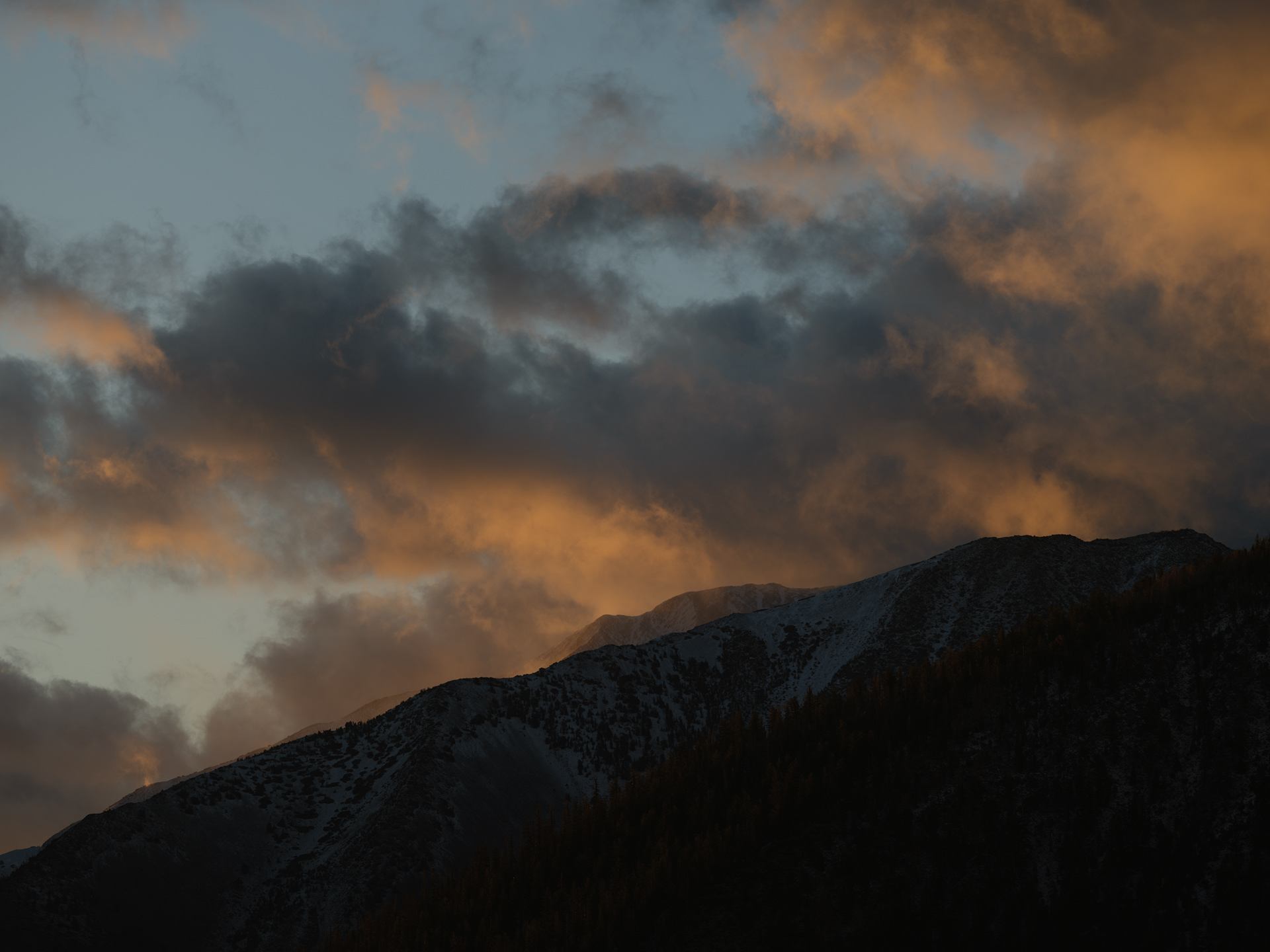
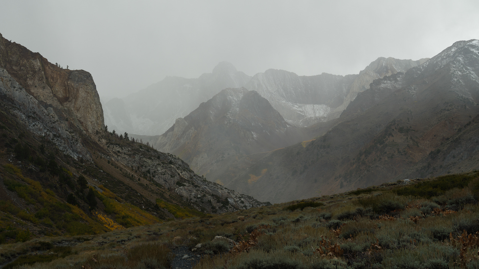
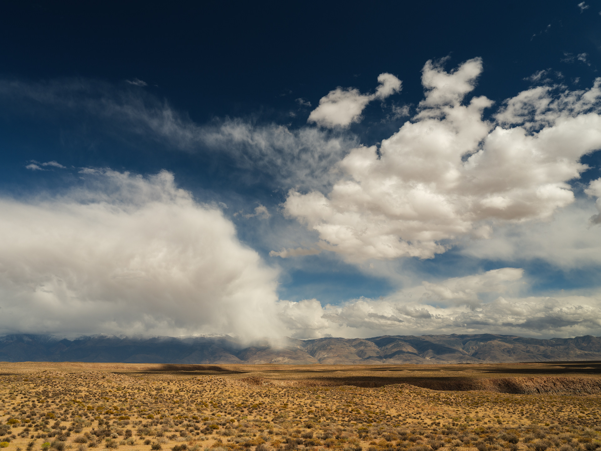
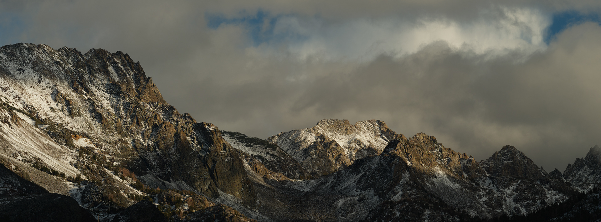
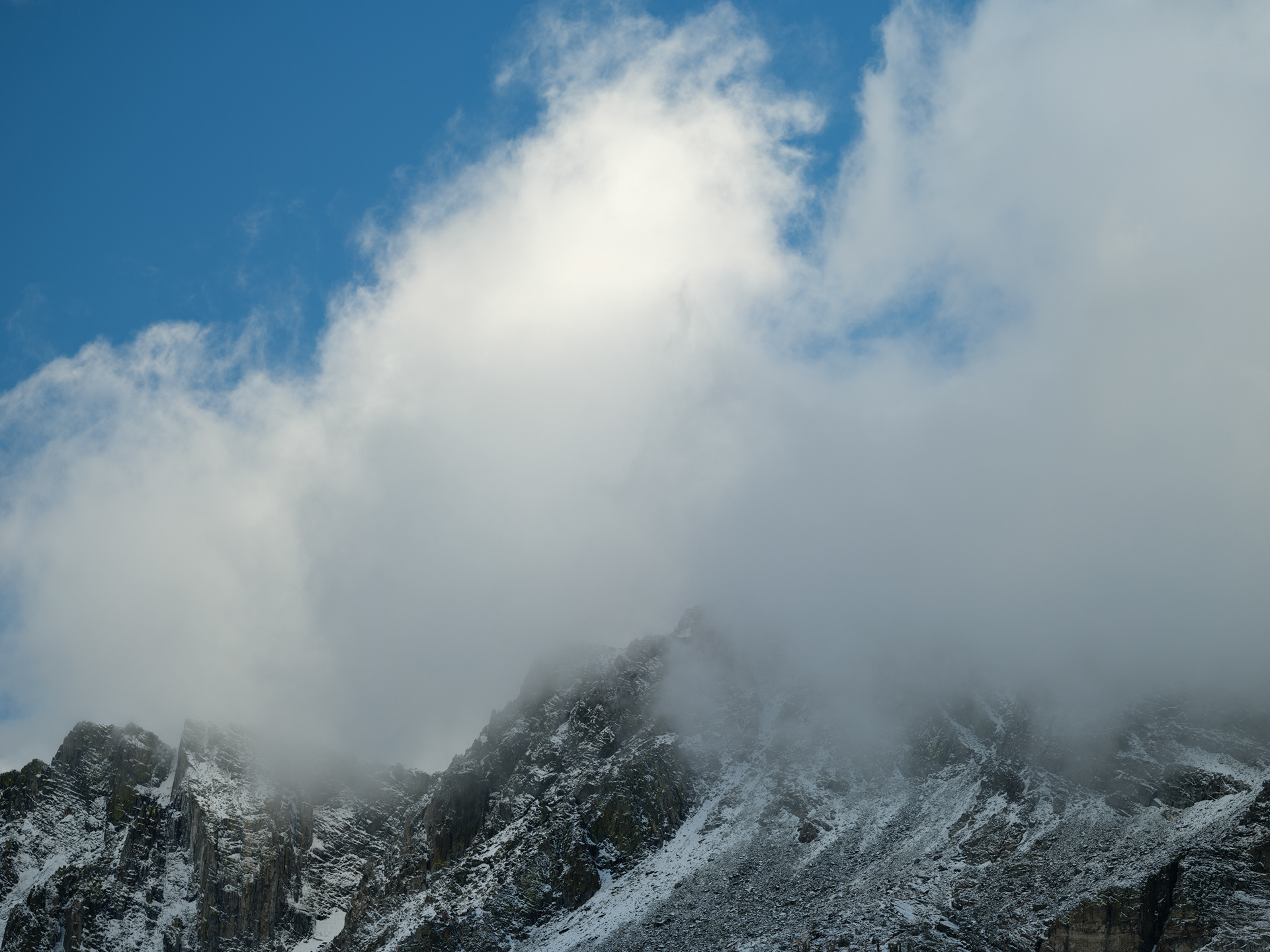
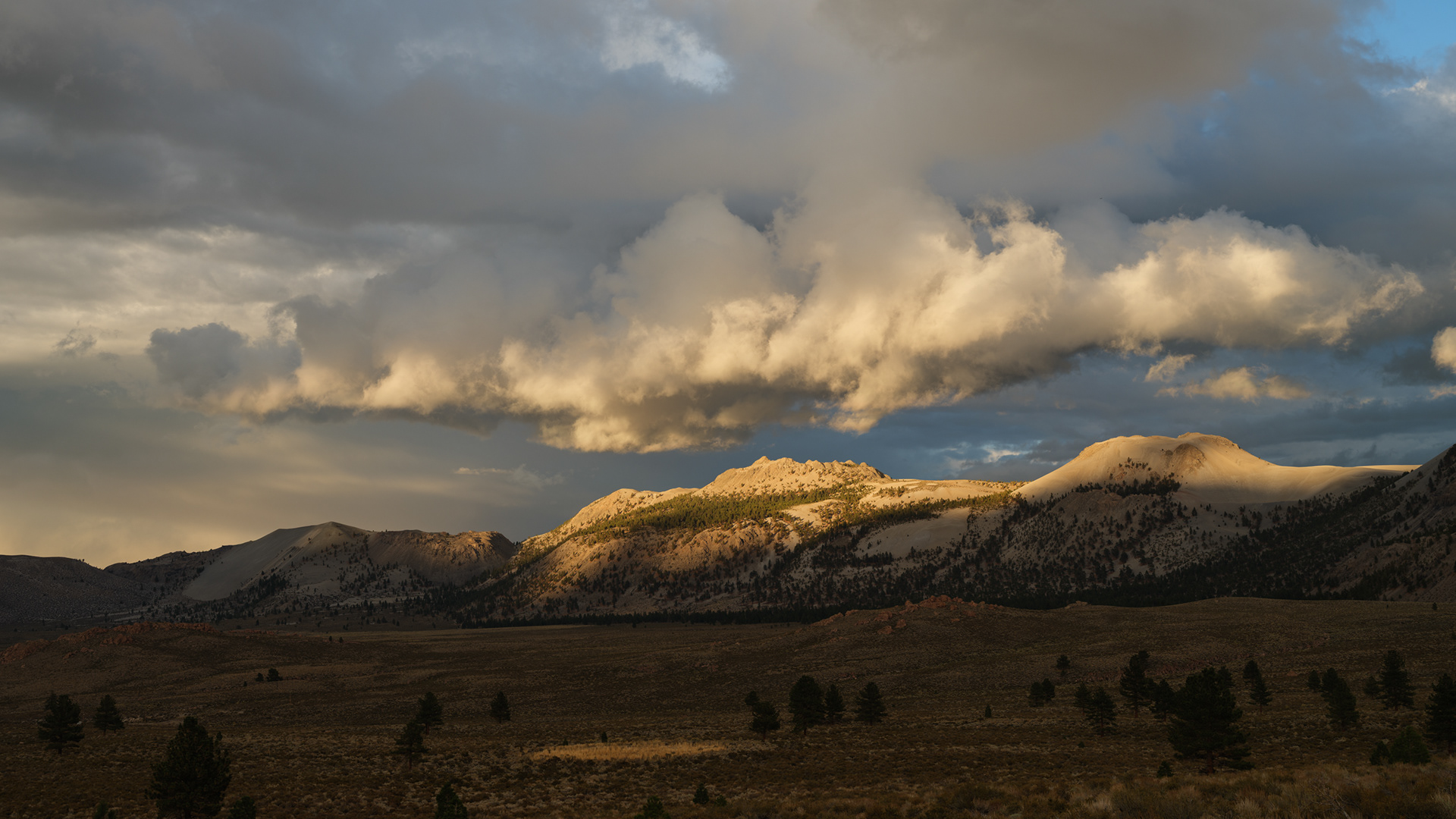
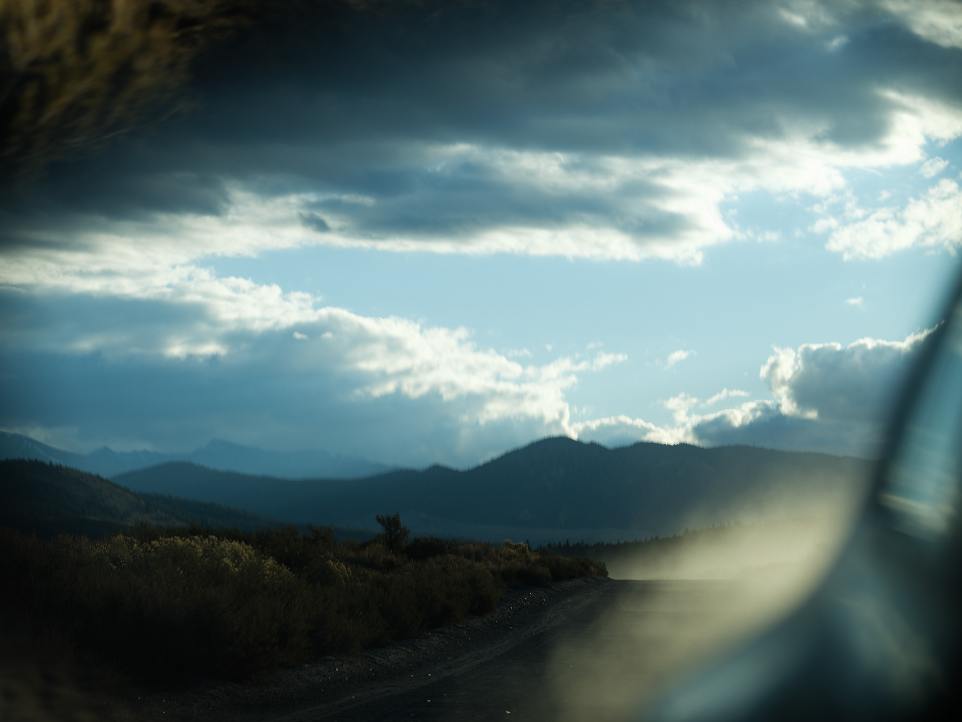
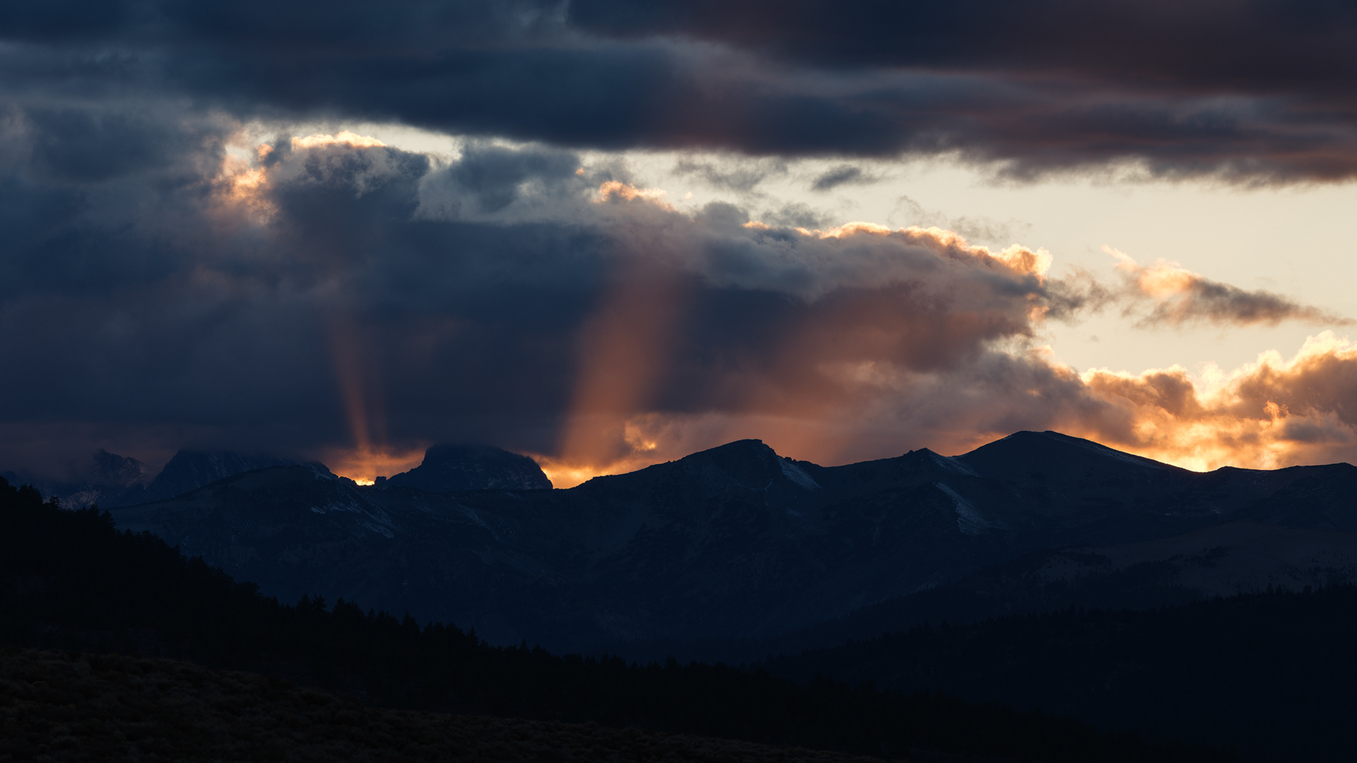
Storm clouds kissing the tops of distant peaks as we came off Sonora Pass near Hwy 395
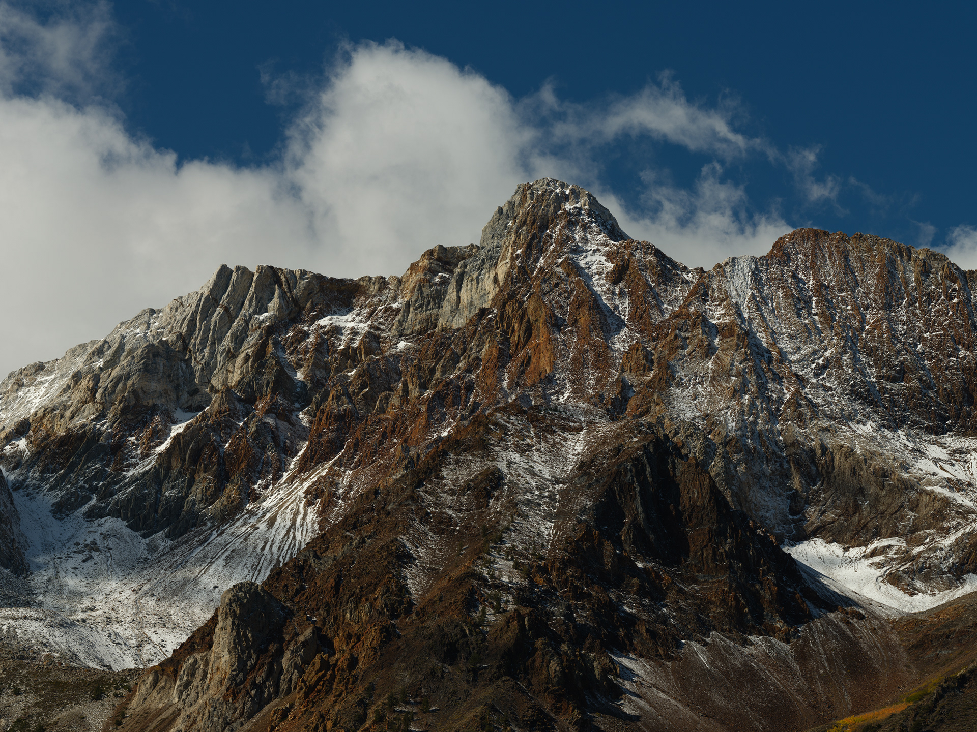
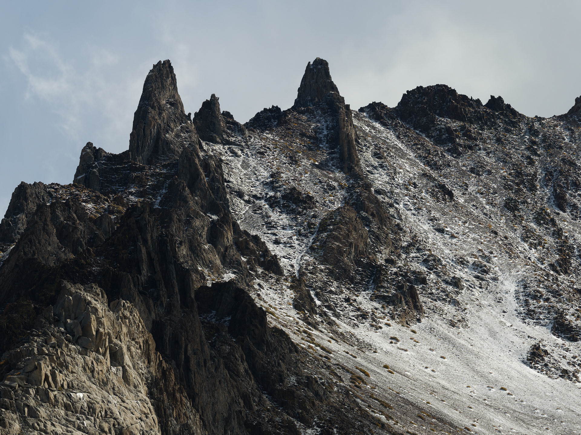
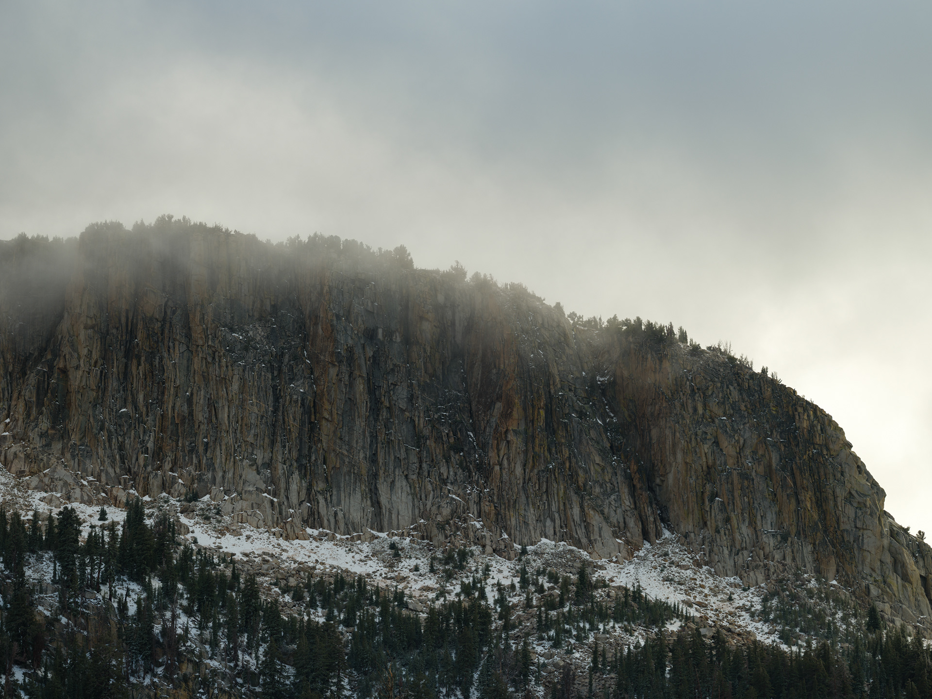
Laurel Mountain
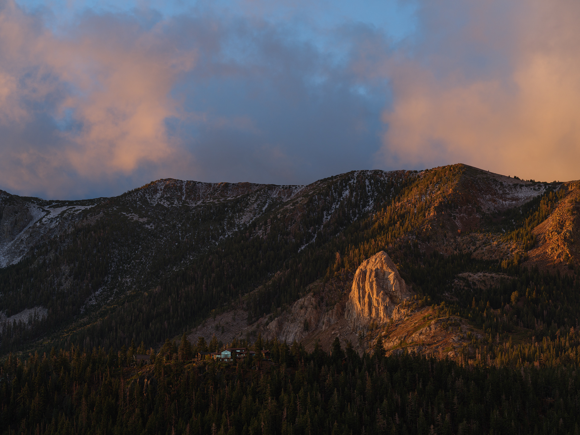
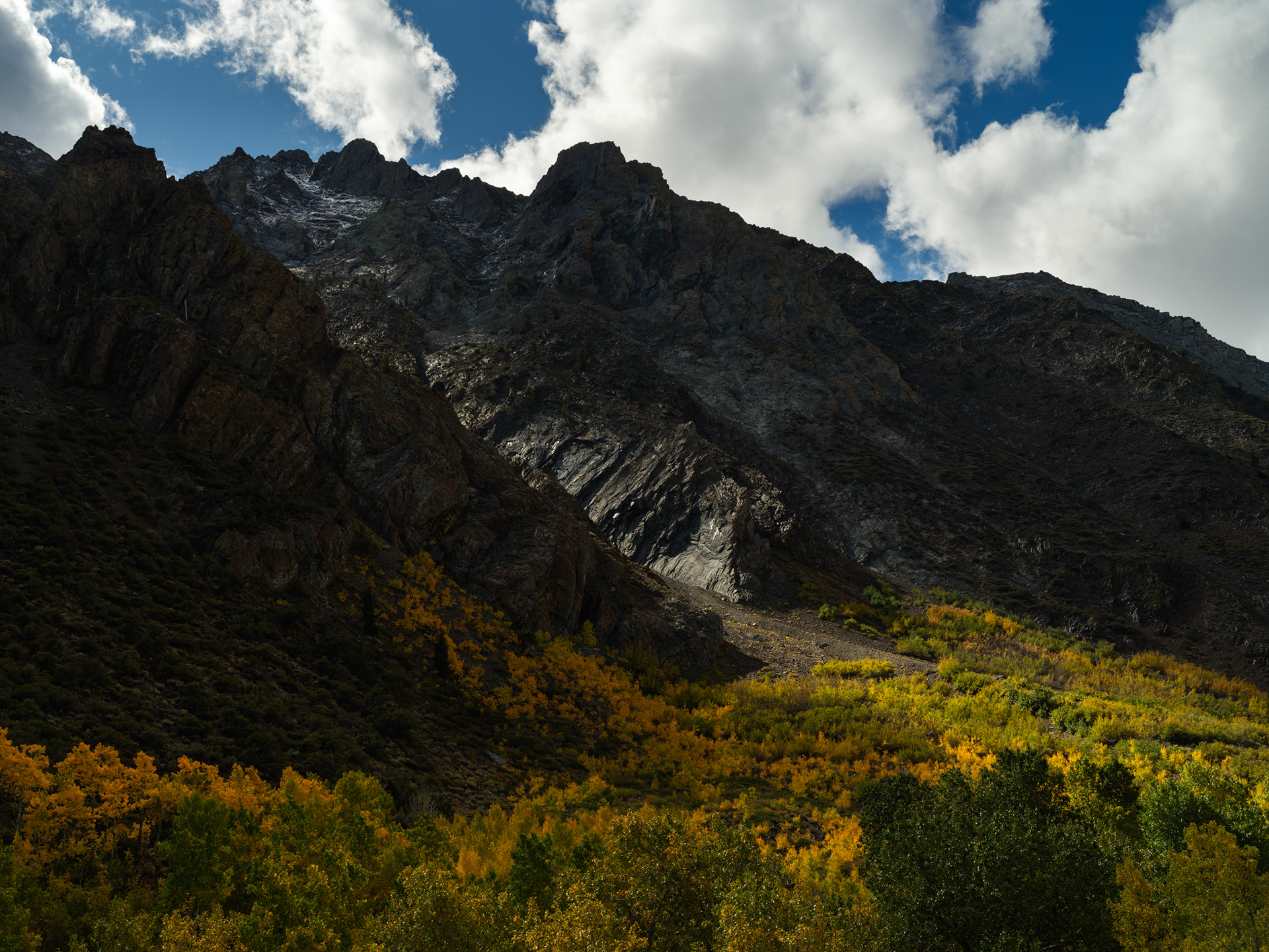
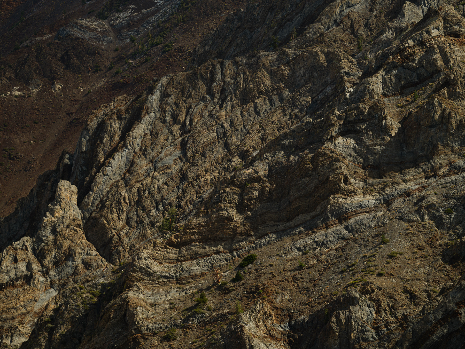
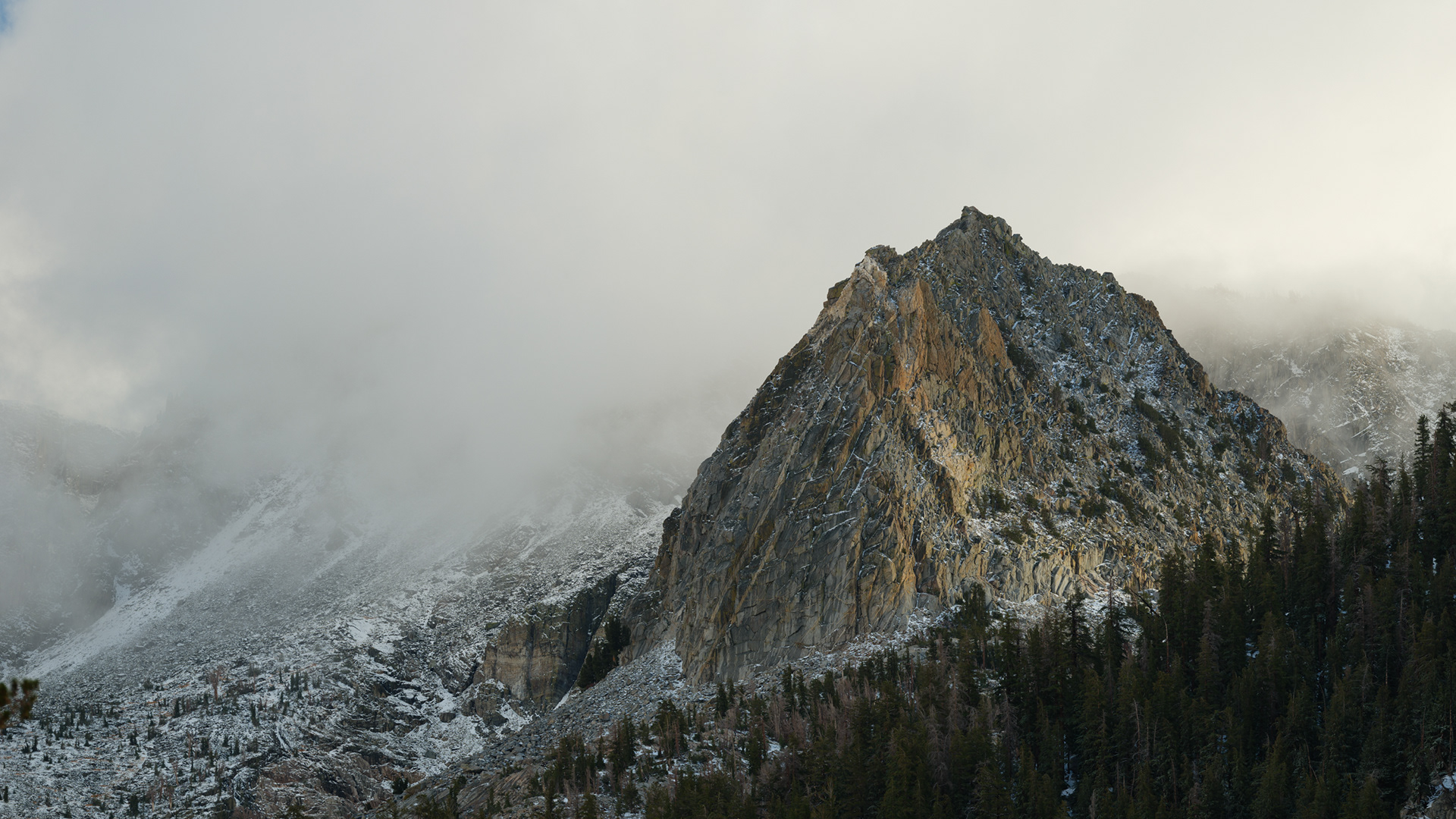
Mammoth Rock. I'd feel guilty building a house so close to such a prominent, natural feature.
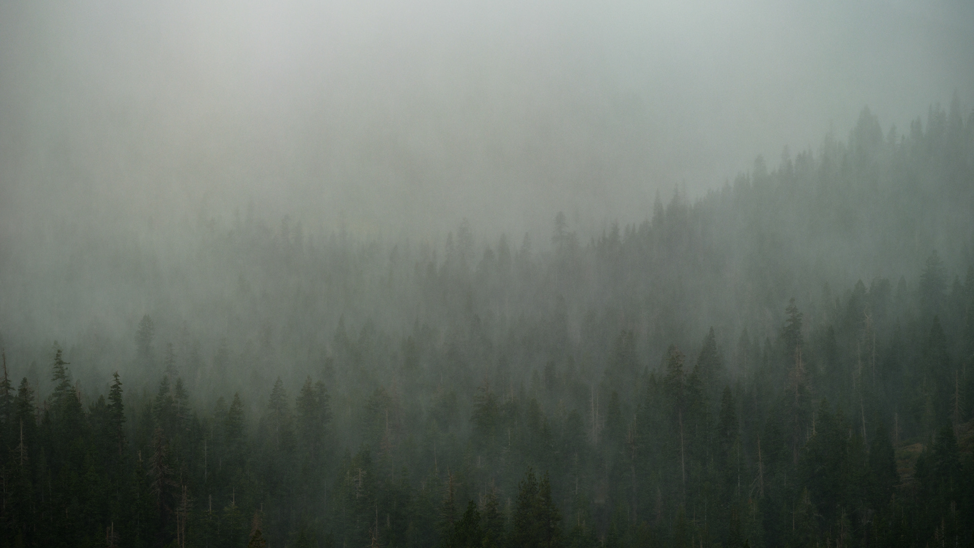
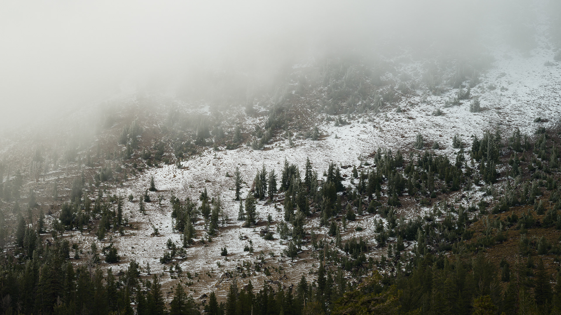
Snowy sleet obscures the pine view from our balcony
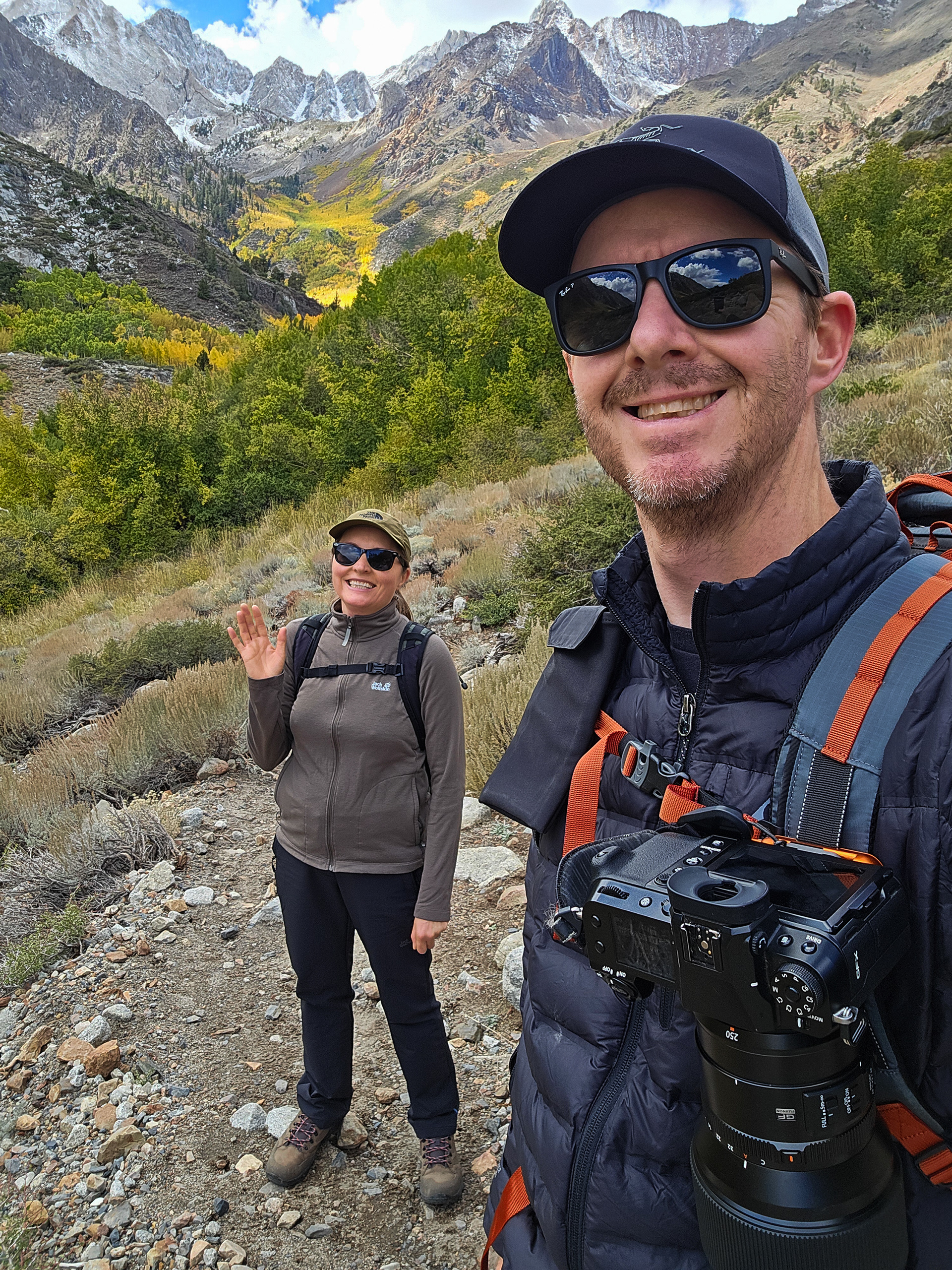
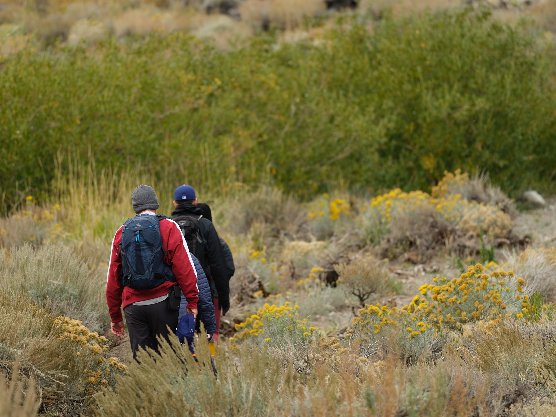
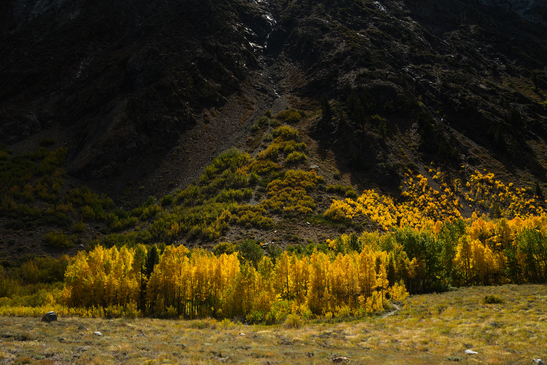
I'd head that McGee Creek trail was great for fall colors but I guess I live in a bubble as I don't recall seeing much imagery from there. As a side note, I have a distain for spoilers in general, so I generally avoid researching a new location too much beforehand. I want to arrive without preconceived notions of what I need to shoot, and I came into McGee knowing there was a trailhead and that was about it.
I had my worries, but I always have that nagging voice in the back of my head preparing me for disappointment when shooting. It's easier to be let down when you're expectations are low. My main concern coming into McGee was we were arriving too late in the morning for good light. Typically, it's the dawn and sunset light that yield the best results, but when you mix in broken clouds and weather, especially in the mountains, you can get a free pass for good results outside of the normal best shooting times.
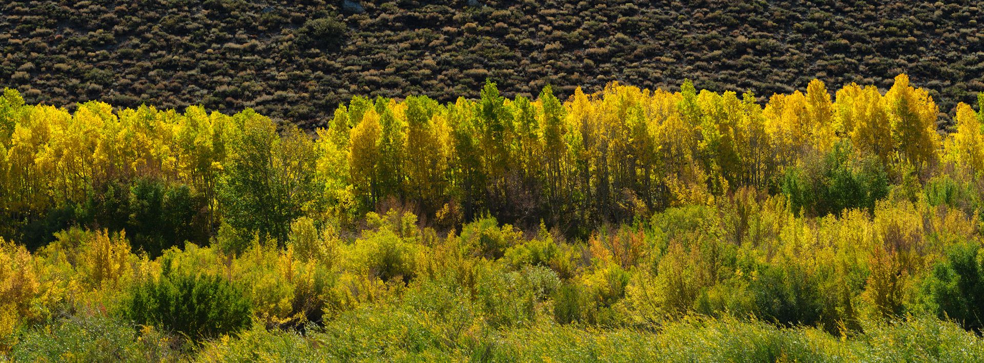
A row of Apens, gently backlit
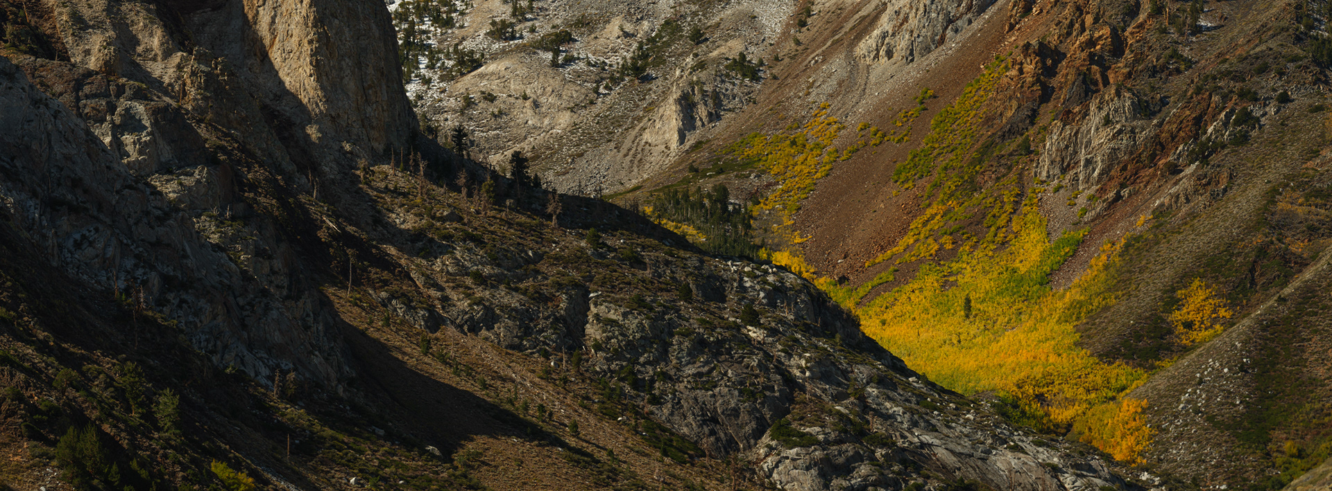
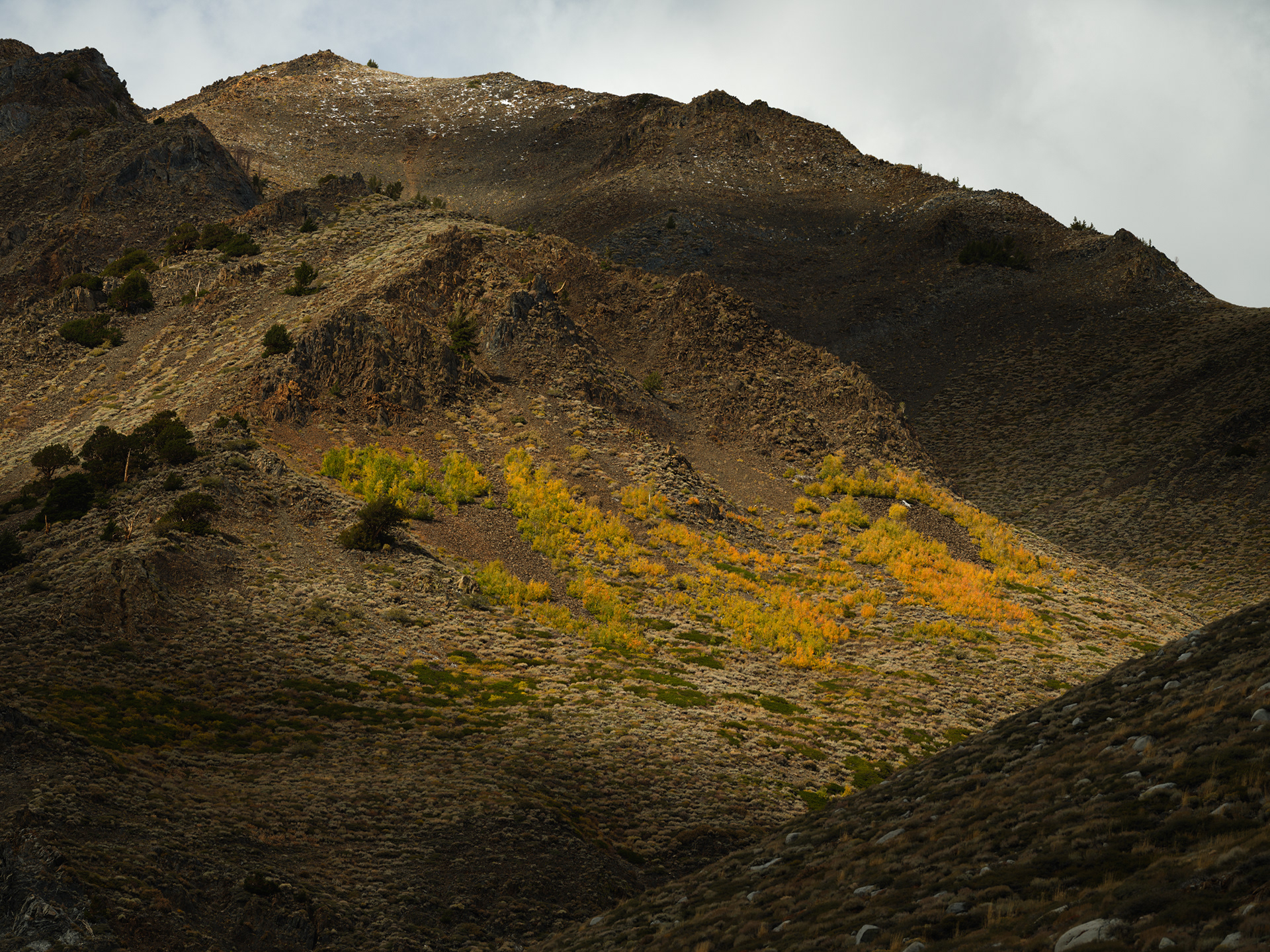
Color pop in the distance

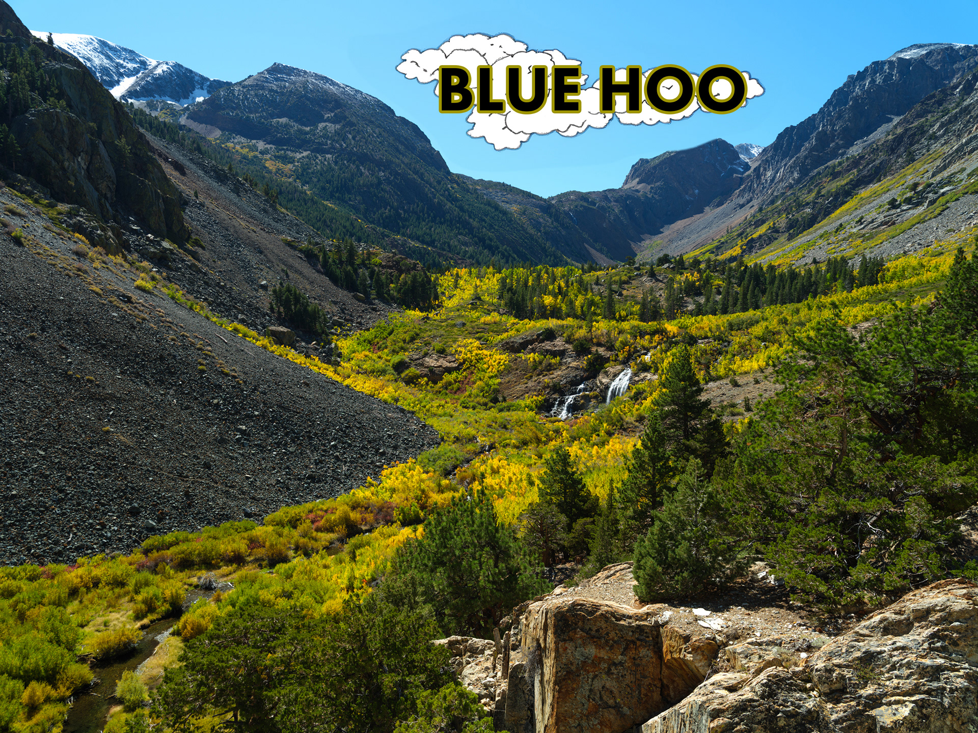
A short mile and a half hike from the parking lot and we found this view. There was a lot of waiting for light this day.
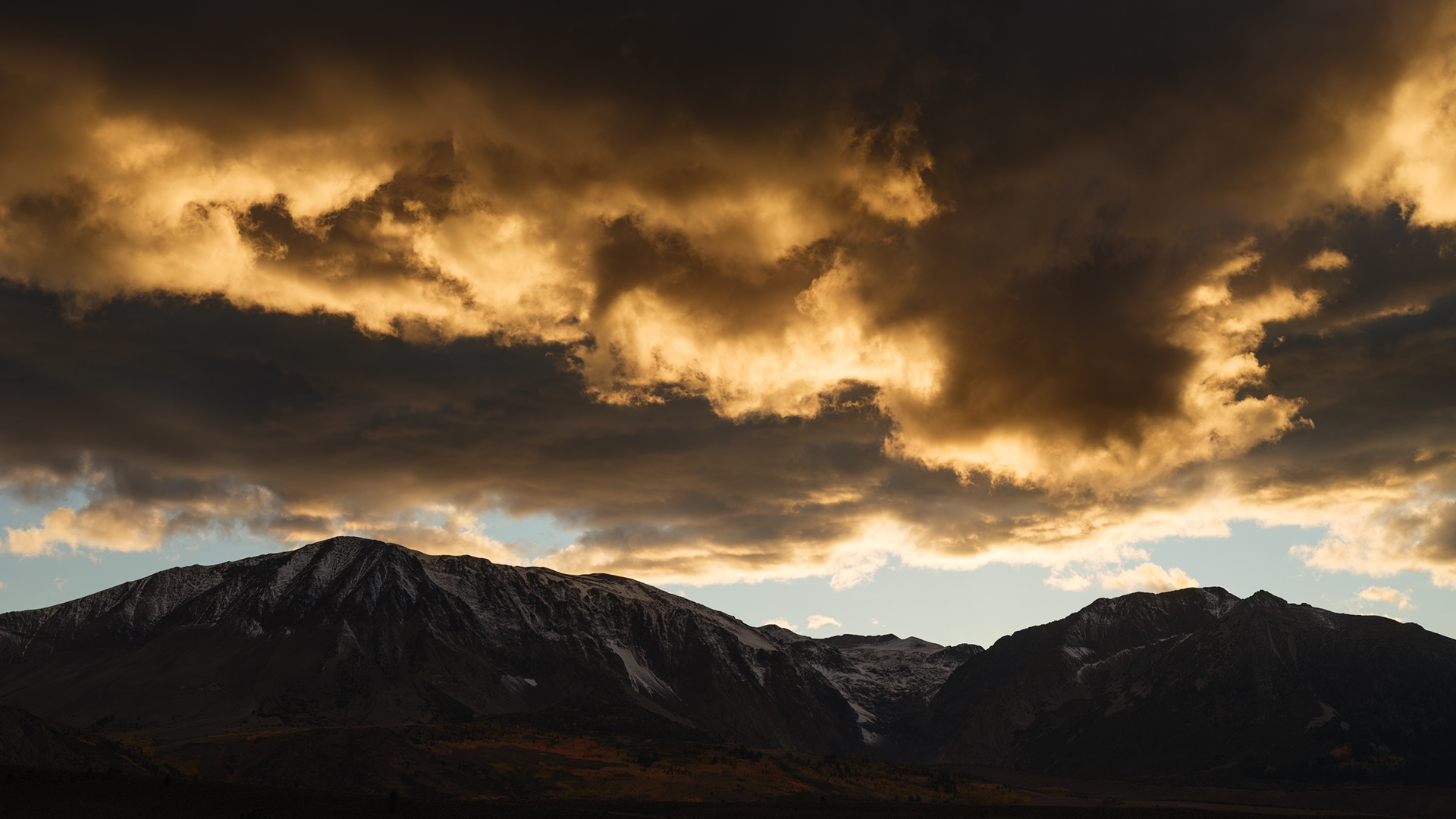
Excited about the weather turning
And like that, the light was gone and the cold was in.
Hwy 395 snaking northwards
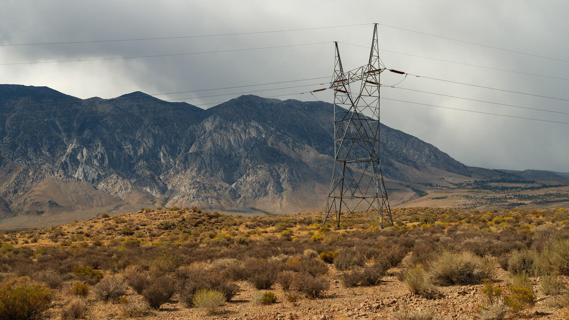
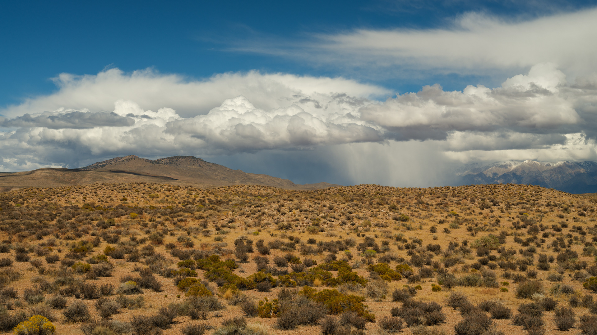
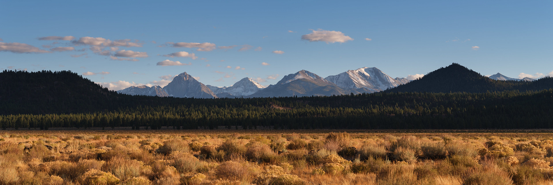
Pastel desertscapes to the north and east.
Below are views from around Lake Mamie and Horseshoe Lake.
Last light looking west as we moped our way back to the car. It was freezing!
A hailstorm made for an interesting drive back to town. This poor chap had it worse than us!
An all too comfortable "park bear" (thanks for that term, Gina!) explores cars down below where we were staying.

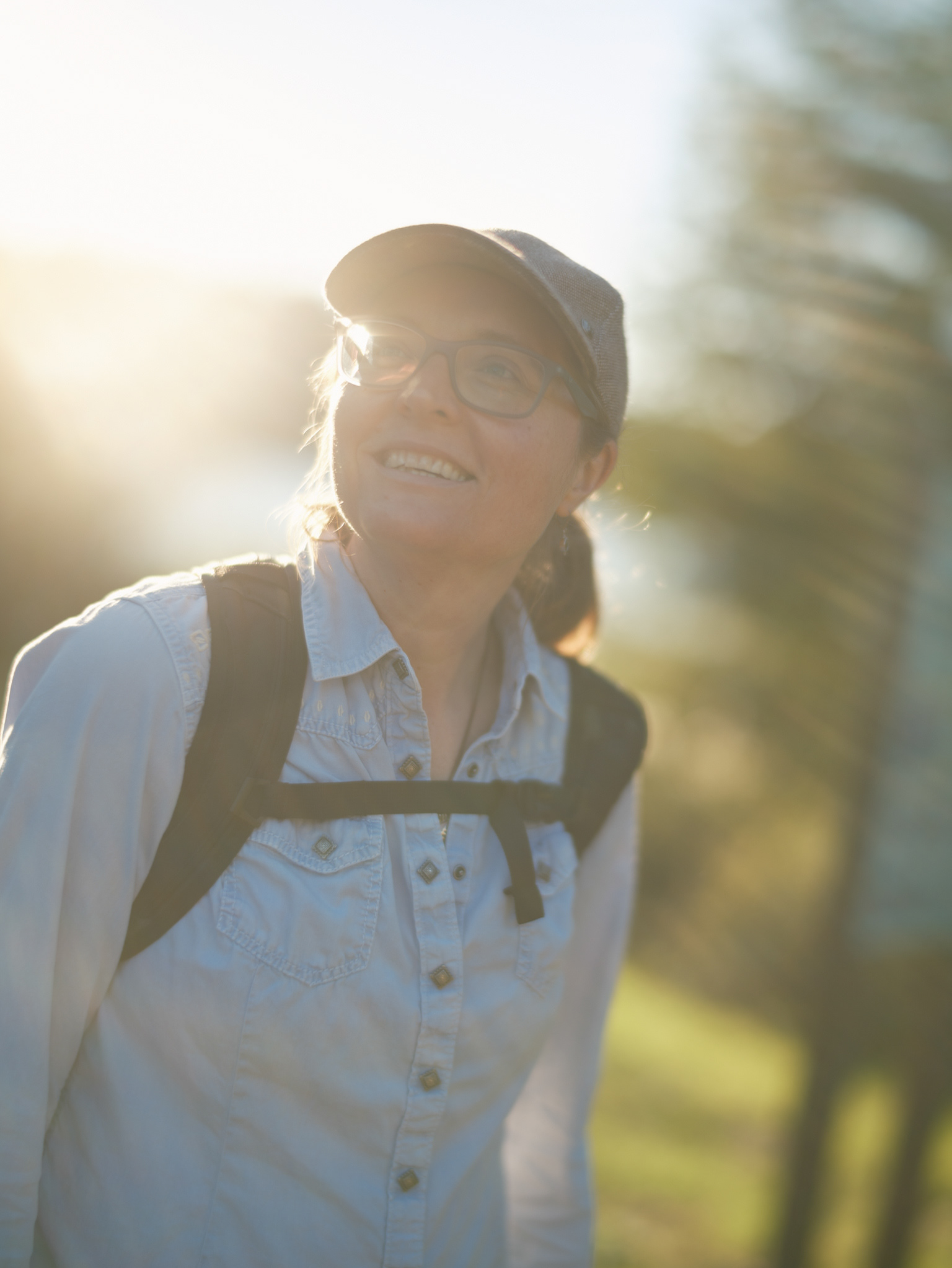
Logan admiring the Lundy Canyon Aspens from below
Lundy Canyon, midday, terrible light and blue skies - but it was perfect hiking weather.
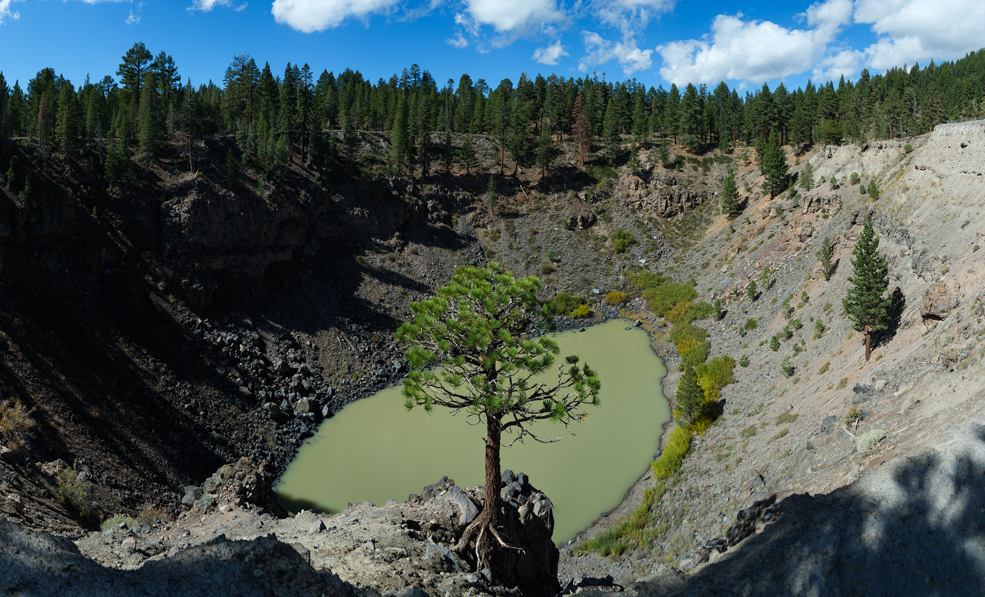
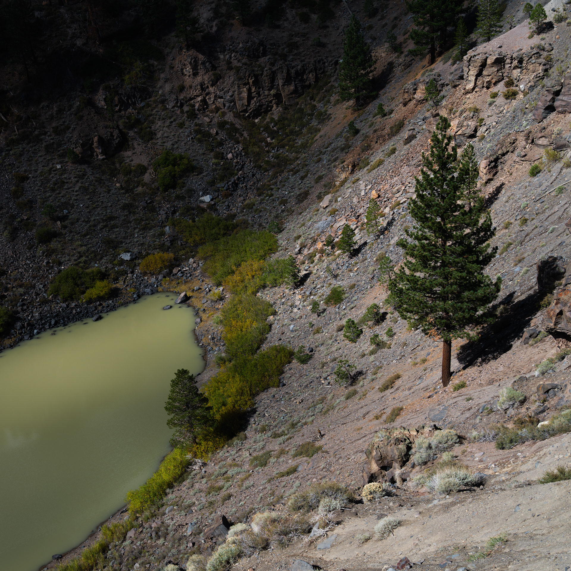
First stop, Inyo Craters. While there's only one pictured below, there are a pair of craters that formed from a volcanic steam explosion a short six hundred years ago.
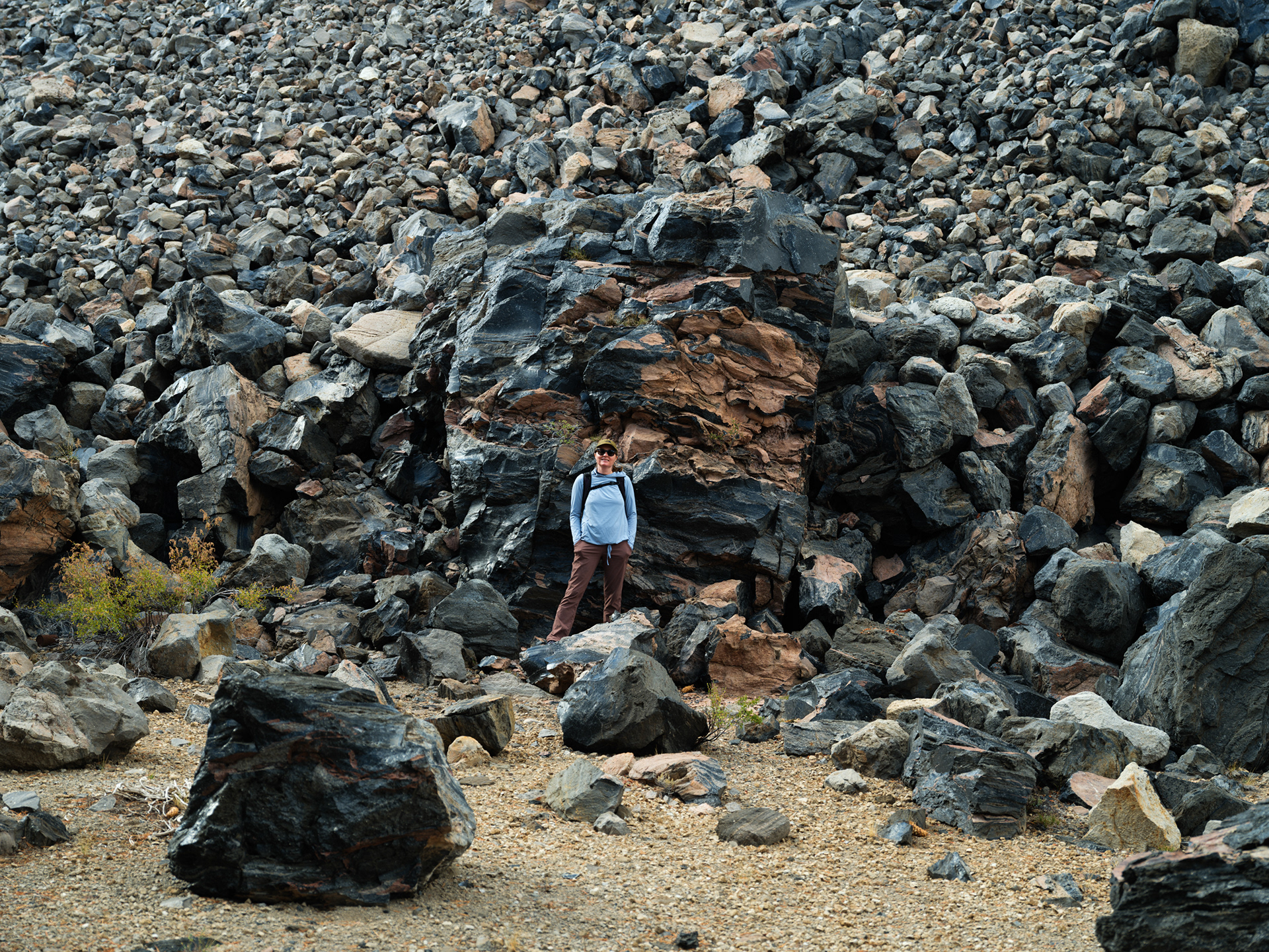
Eventually we ended up at the South Deadman Dome lava flow. It wasn't in our loose plans for the day, but when up close we couldn't help but to be drawn in to the bus-sized chunks of obsidian littering its rocky prominence. We didn't know if there was a trail up the side or not, but after twenty minutes of exploration we did stumble upon an old 4x4 track that would have been harrowing to have driven up back when it was still accessible. While driving up it wasn't an option, the old road was quite suitable for hiking.

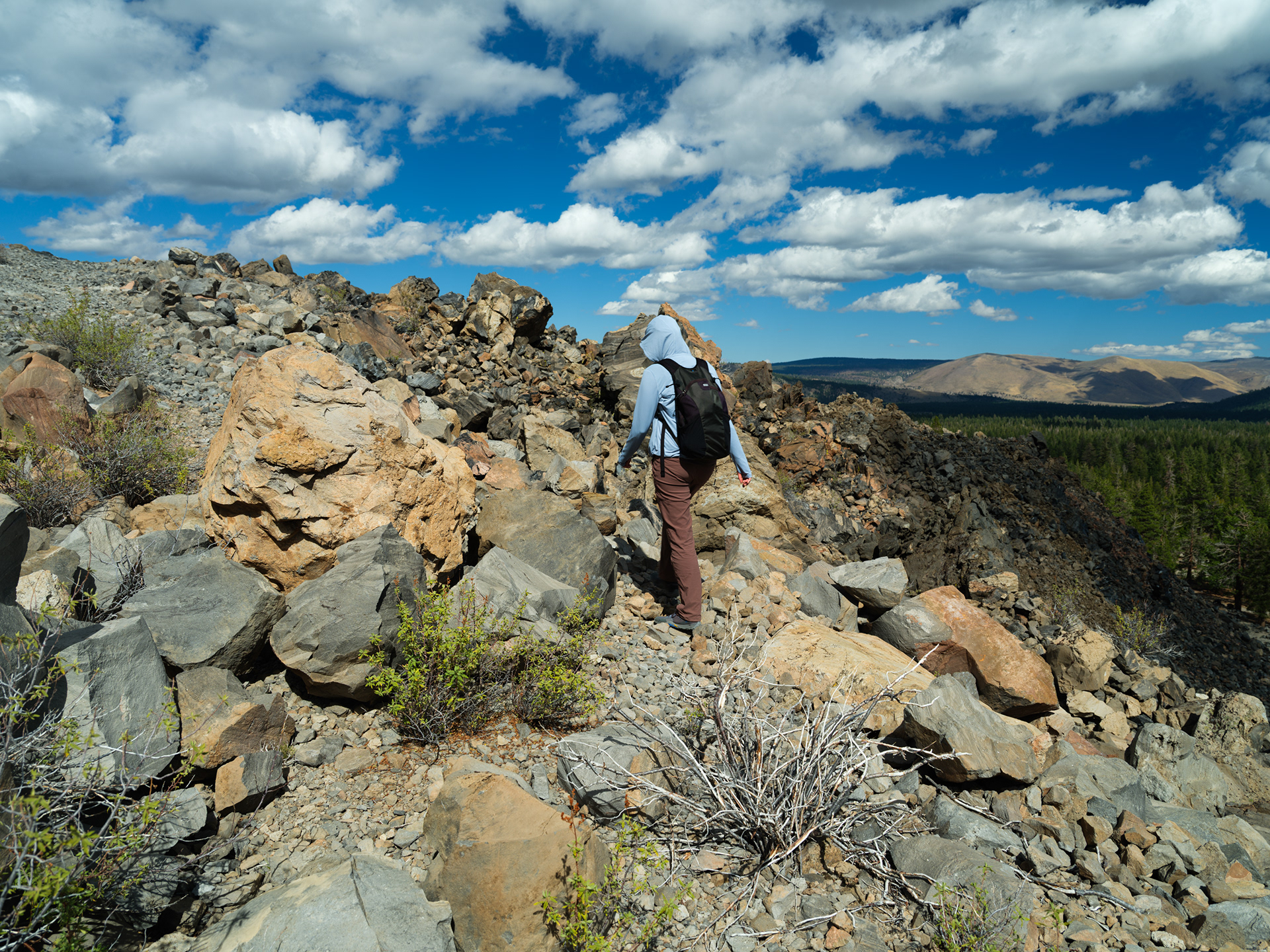

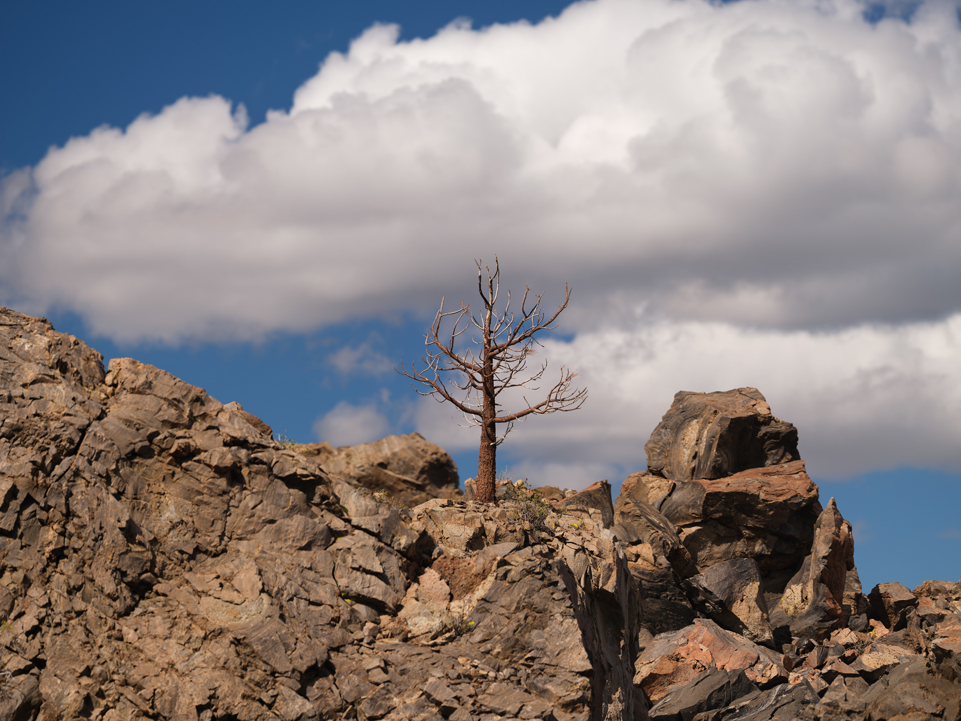
Puff clouds were back and I enjoyed the light and shadow play on the pines below the lava flow
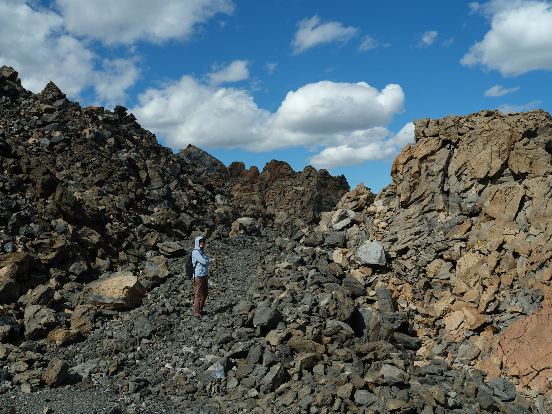
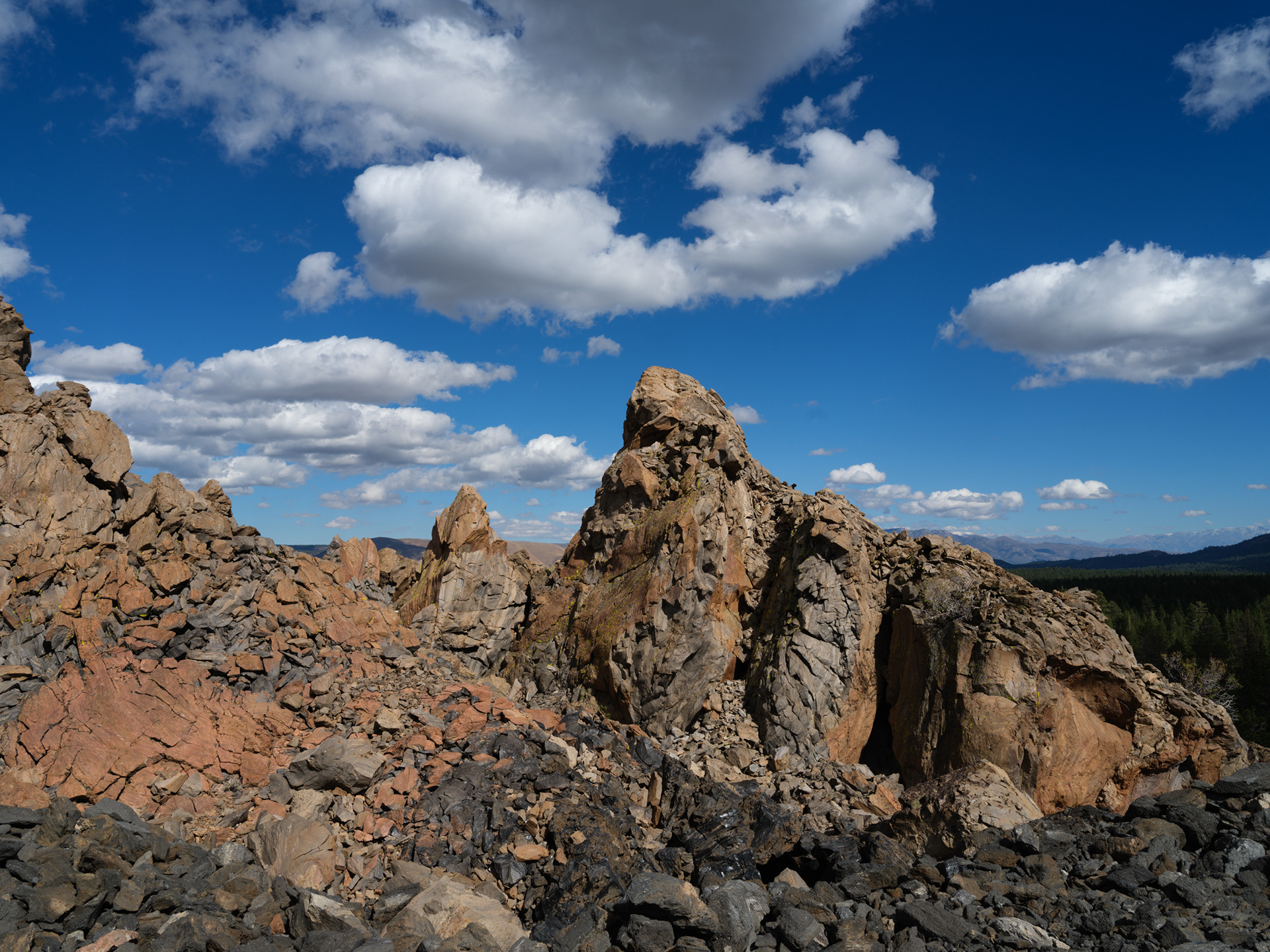
Endless lava rock
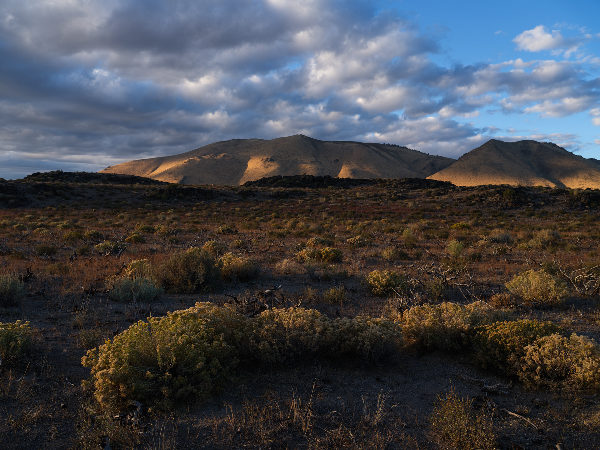
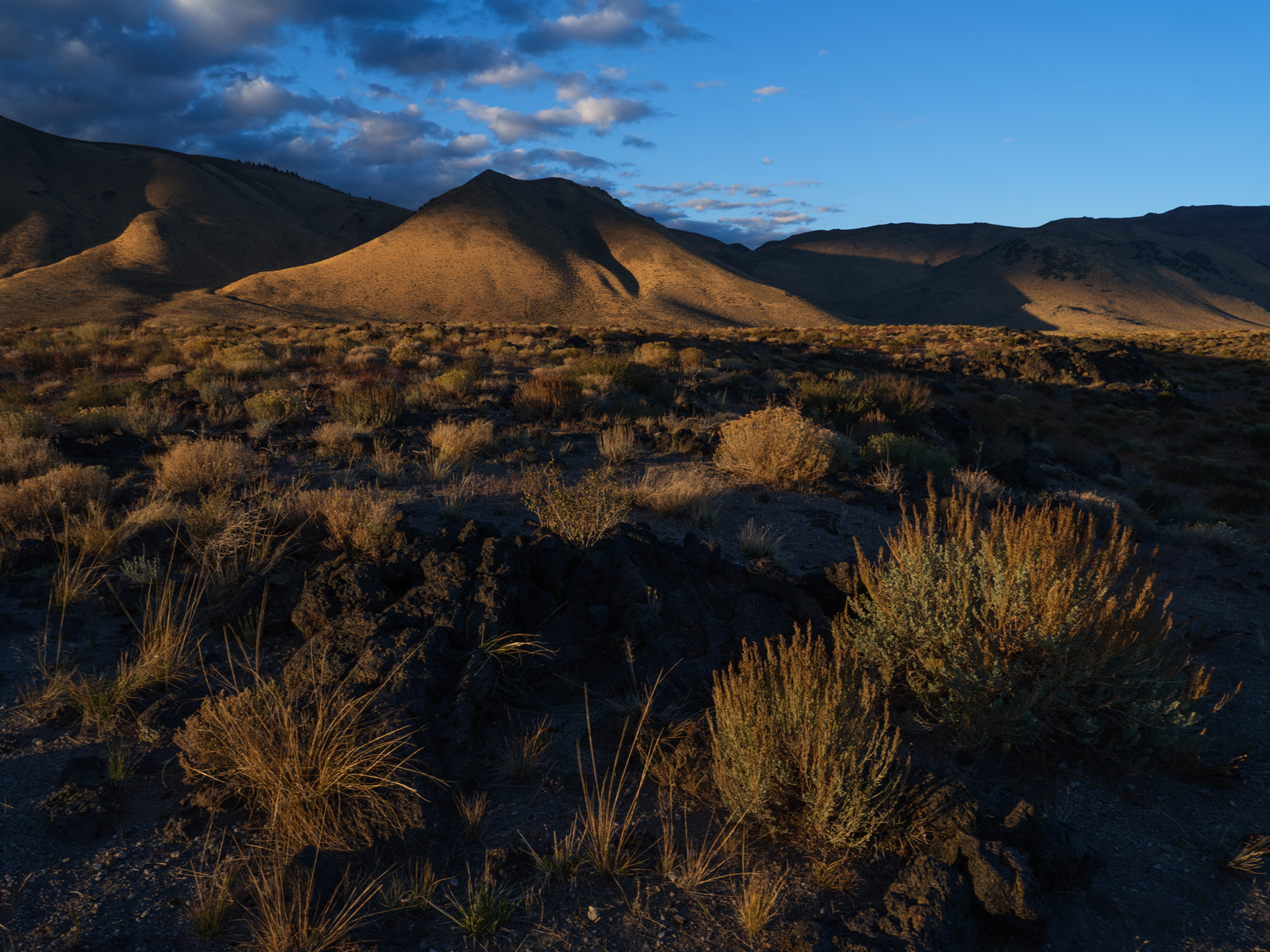
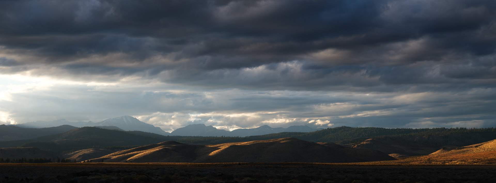
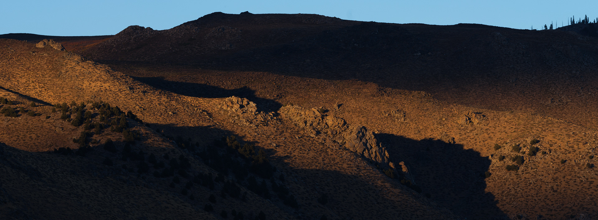
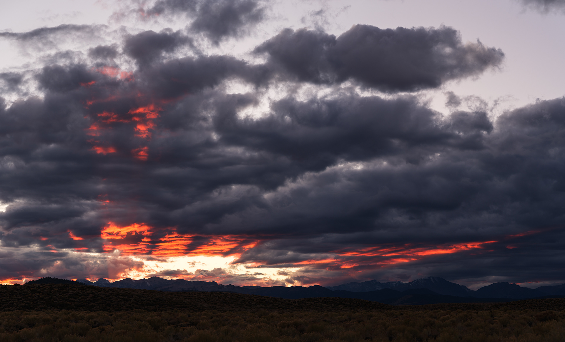
We made due, travelled further south and enjoyed another quiet sunset to ourselves. We were on this stretch of road for well over an hour and didn't see another car until after dark.
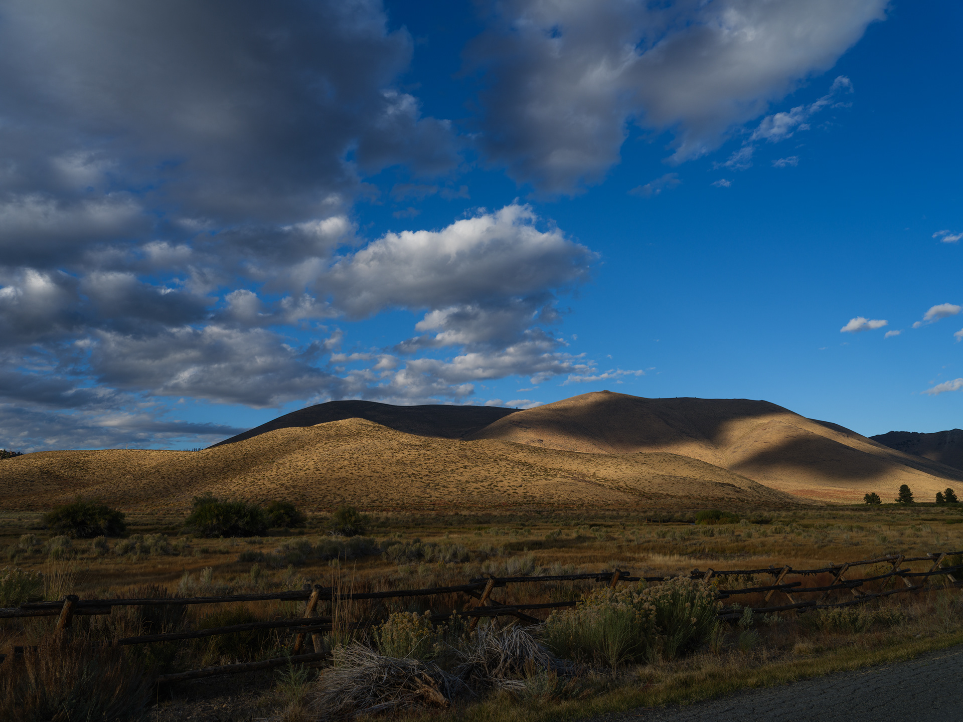
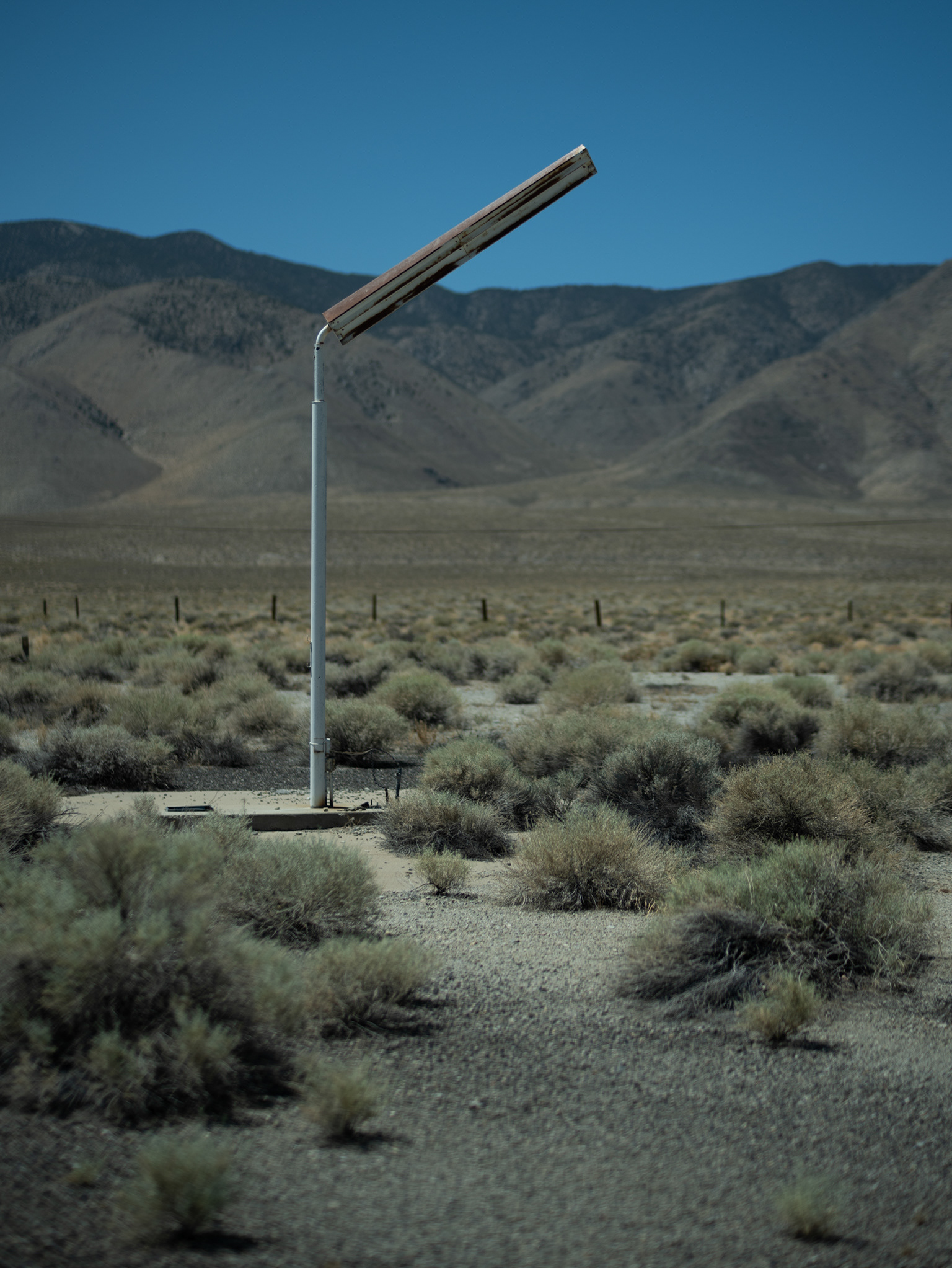
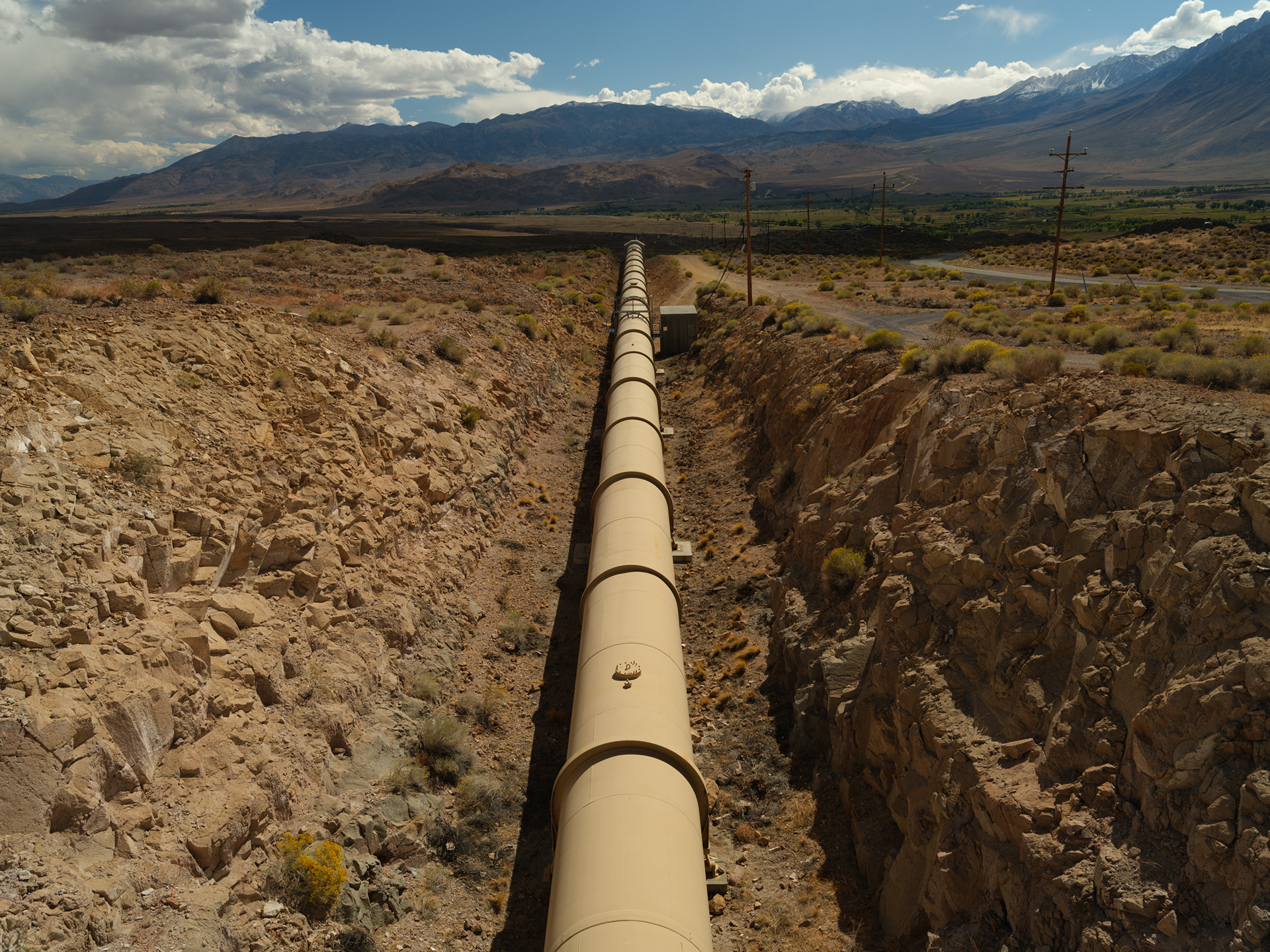
Private Ranch Land
This track looked promising, but it dead-ended at a private gate
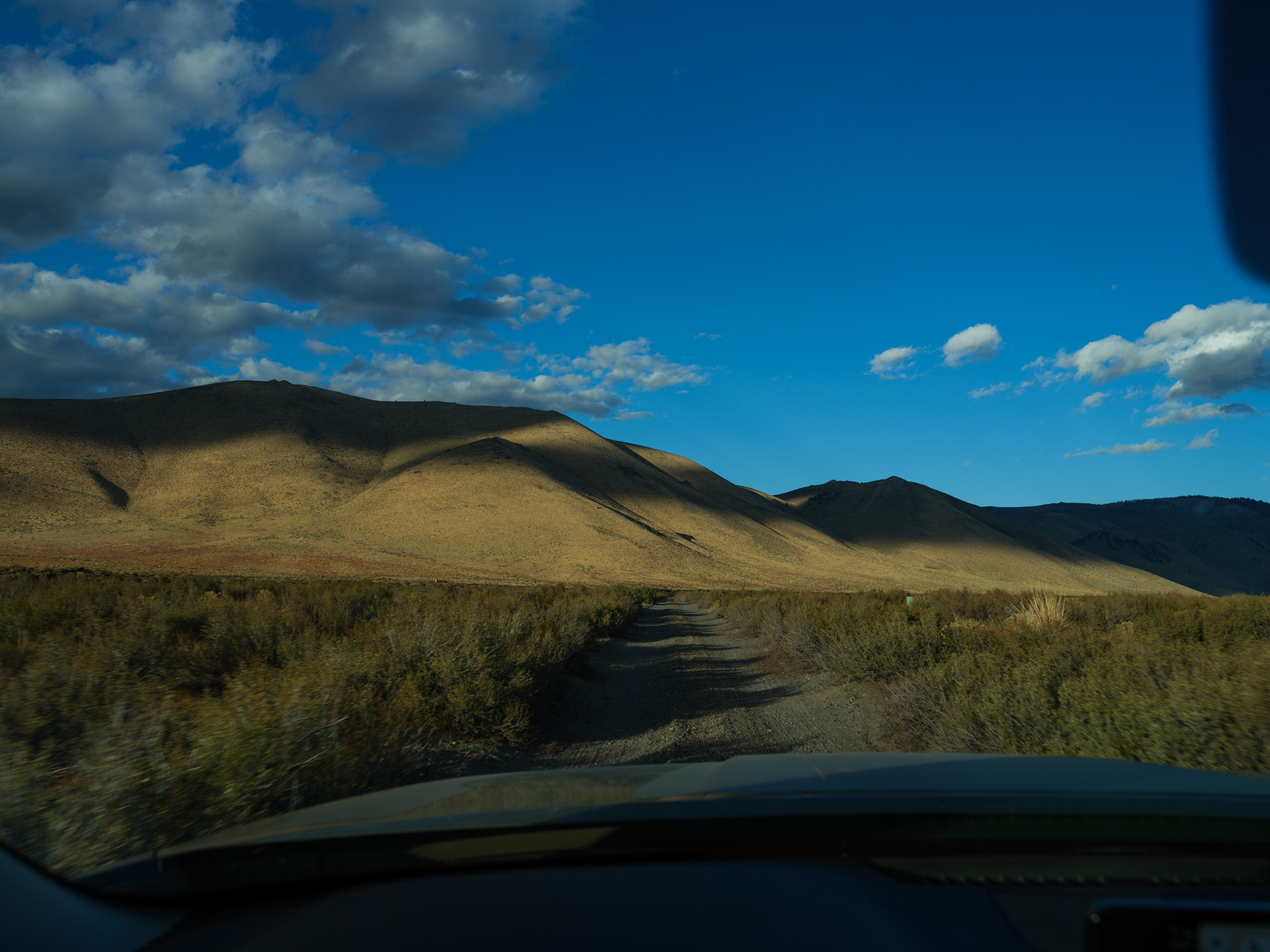
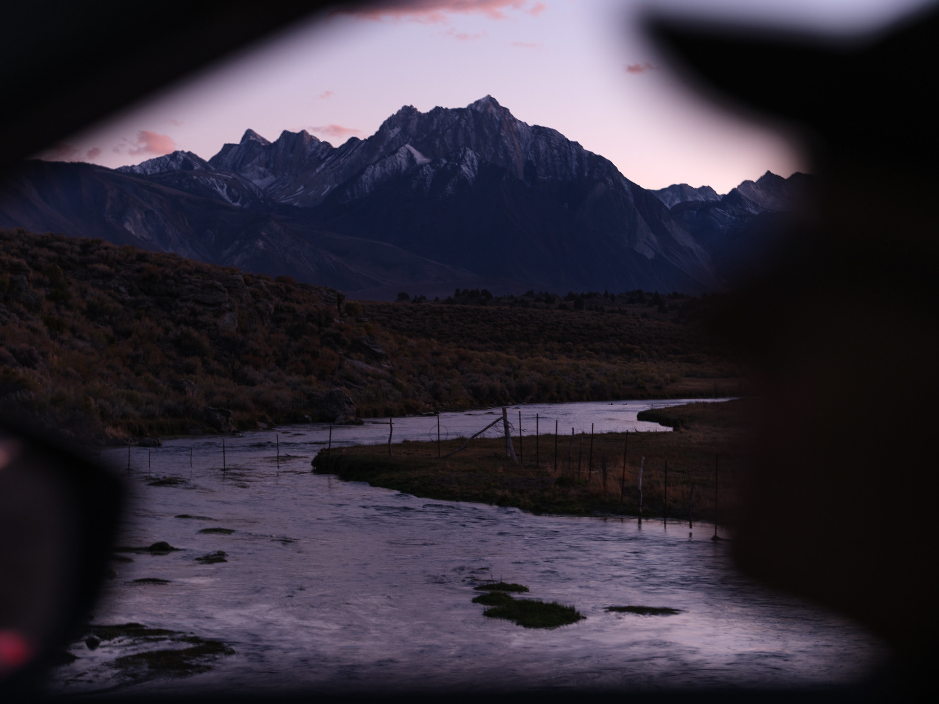
Further south the fences were fewer and there was more wandering to be had, but the river was now out of reach
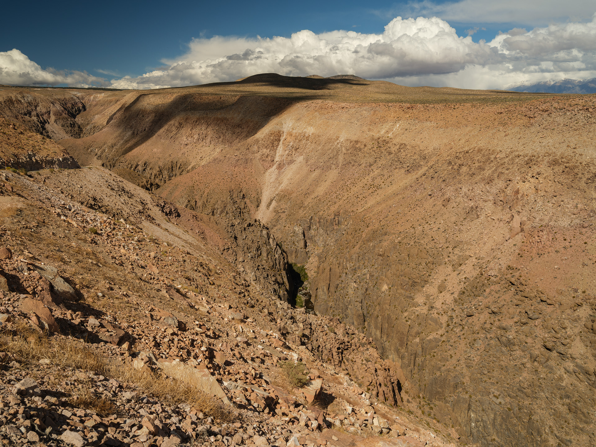
XPan Vista
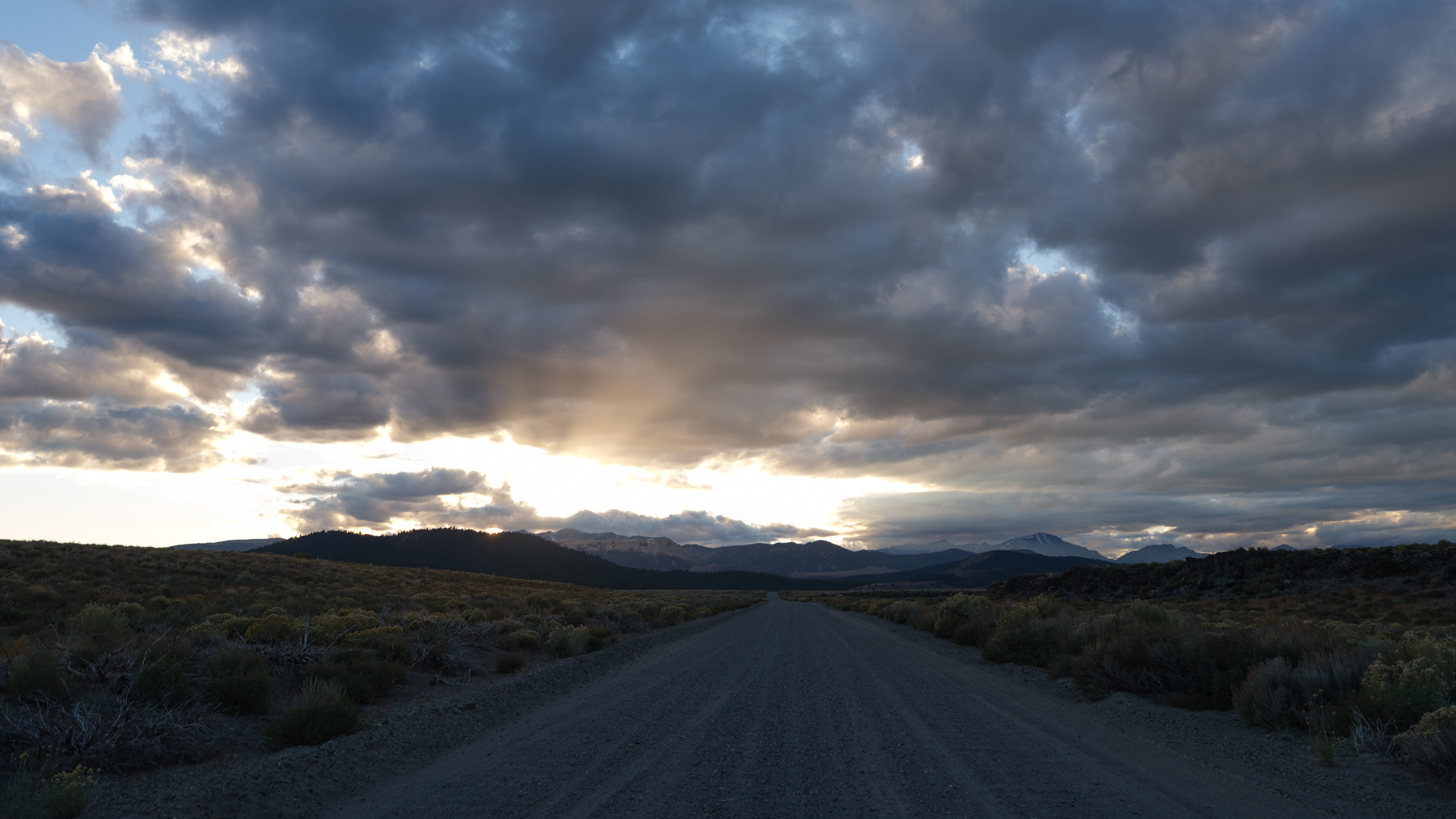
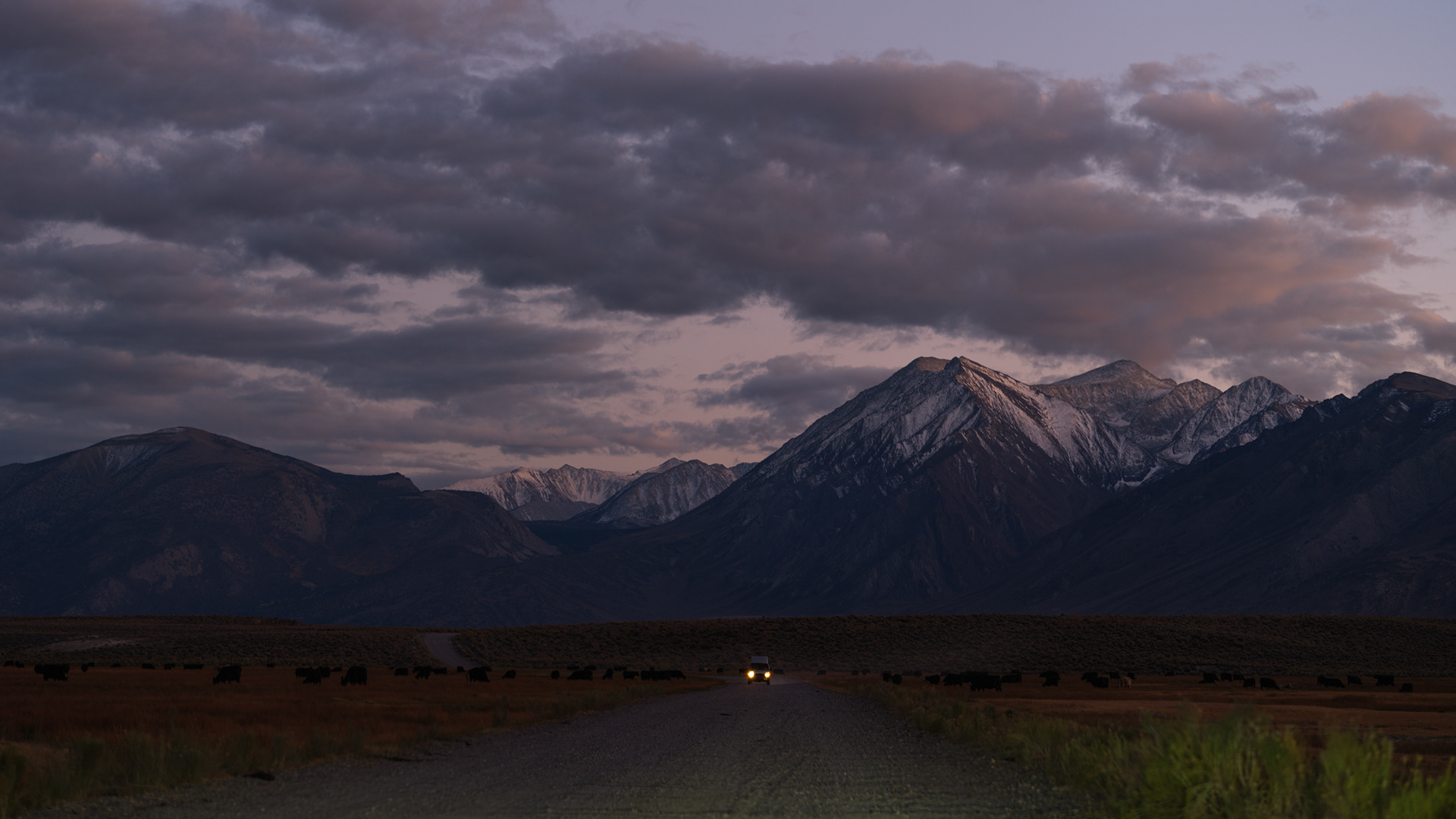
A lone van looking for a dusty pullout to call home for the night
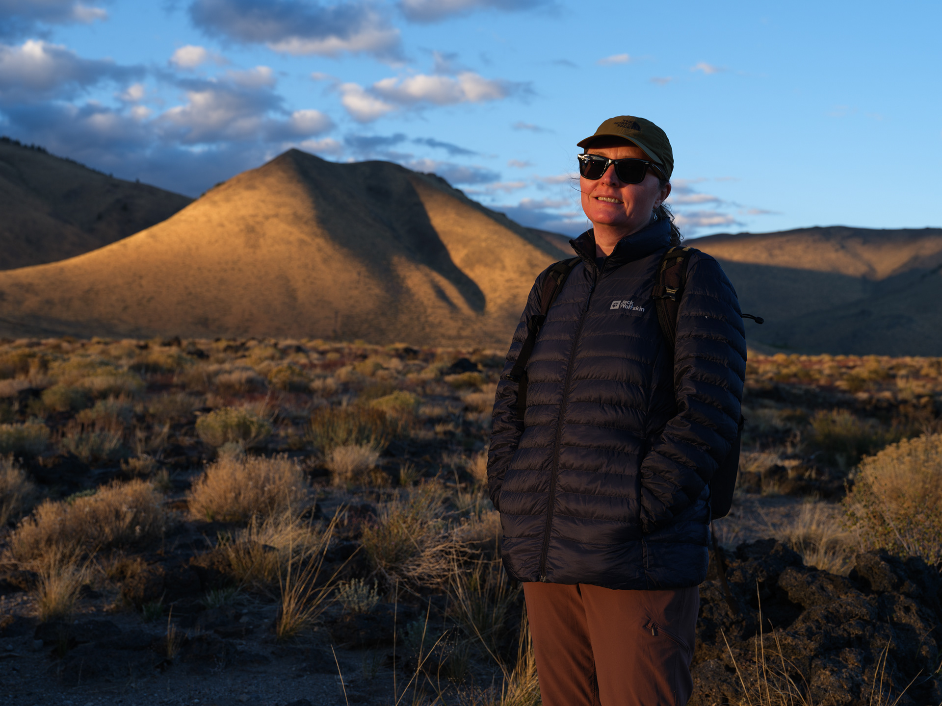
Logan with Hot Creek and the mountains in the distance
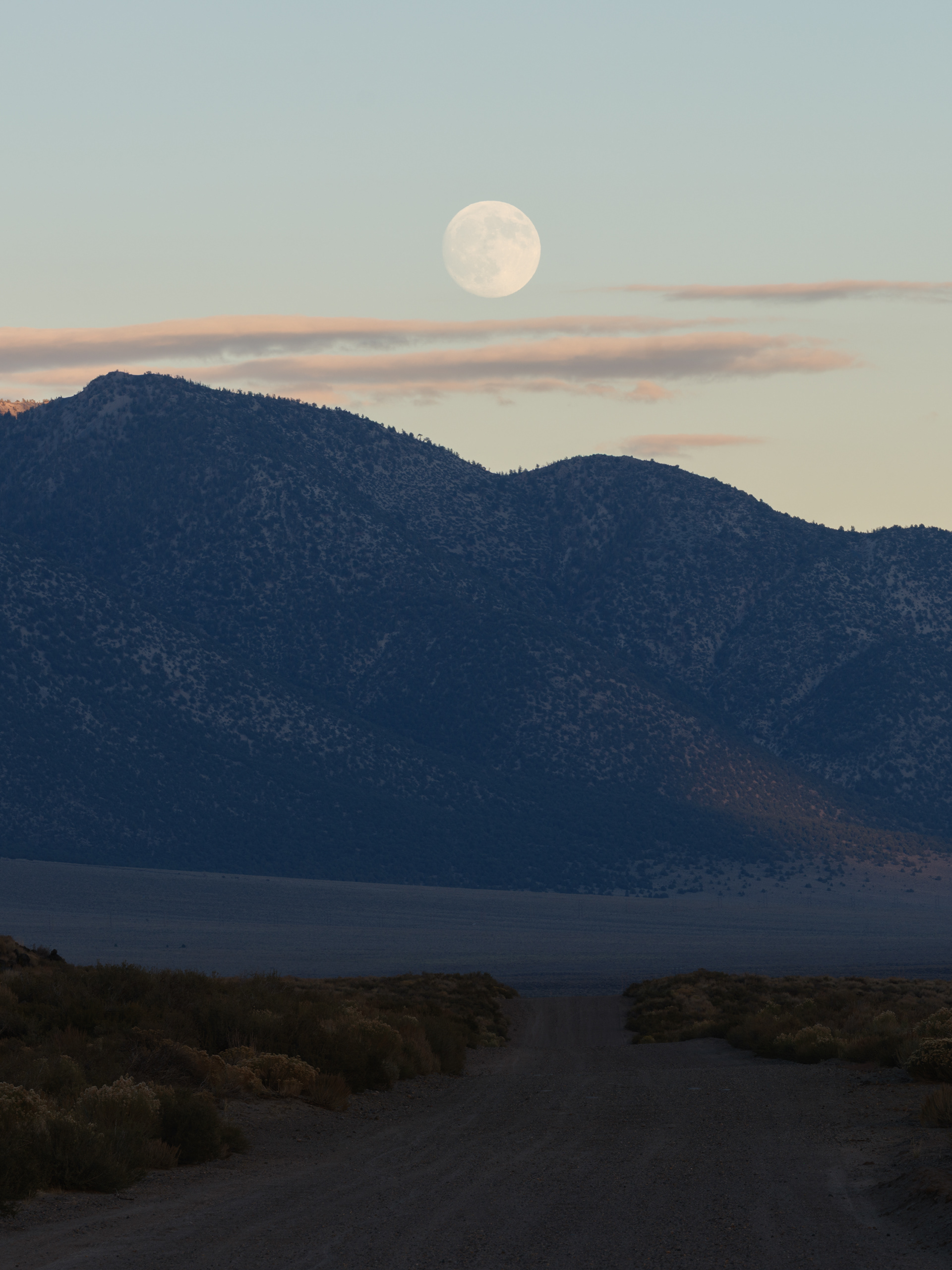
The last sunrise of our stay

Captivating sign on Monitor Pass

Monitor Pass Color